Elevation of Fayette Road, Fayette Rd, Arkansas, USA
Location: United States > Arkansas > Van Buren County > West Griggs Township > Clinton >
Longitude: -92.480024
Latitude: 35.6722543
Elevation: 375m / 1230feet
Barometric Pressure: 97KPa
Elevation Map:
Satellite Map:
Related Photos:

Pee Dee Creek-Side View

#early #morning view of the #courthouse #townsquare in #downtown #clinton #arkansas #igersarkansas

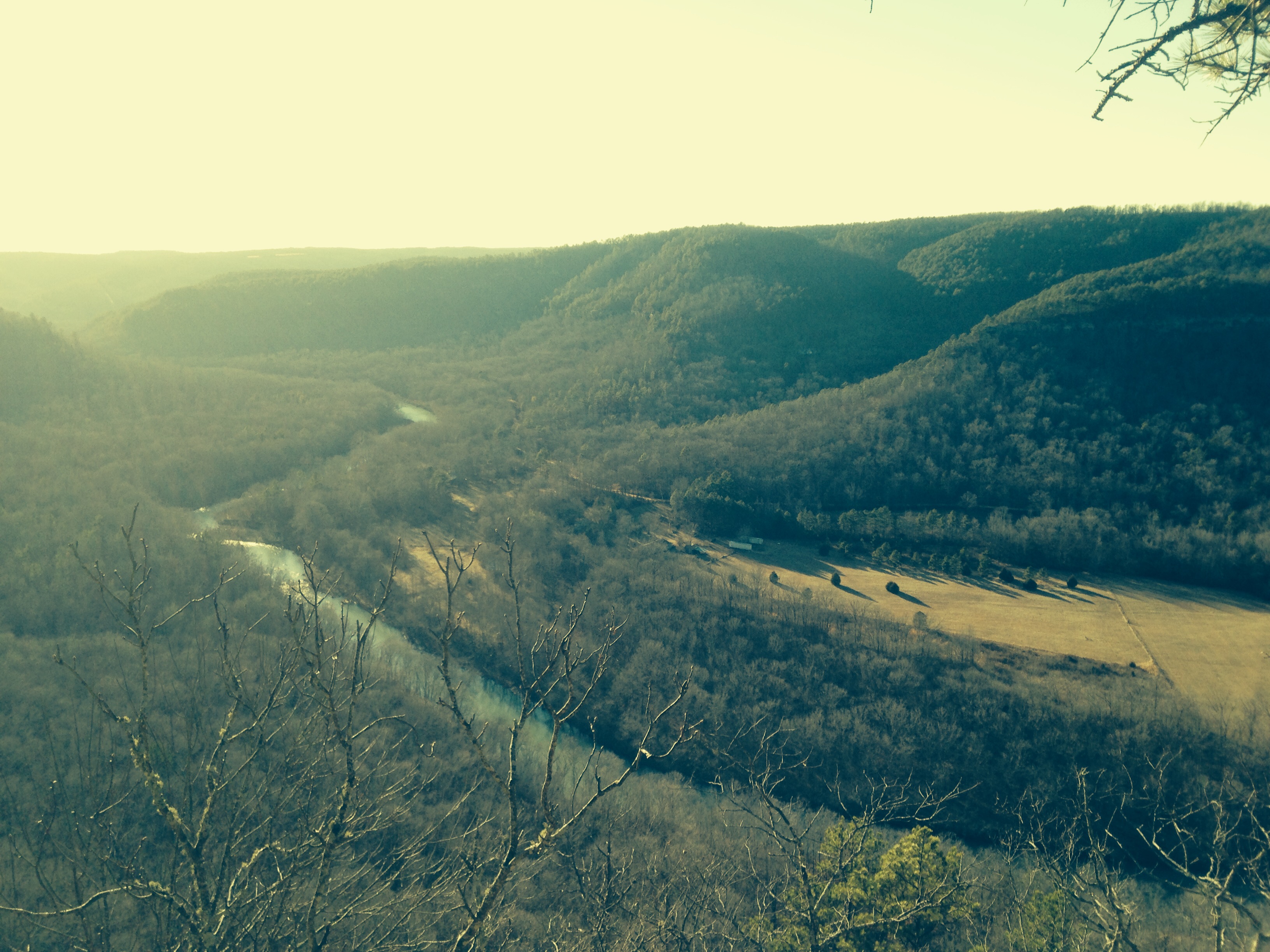
Long distance view upstream

Fall is almost over here
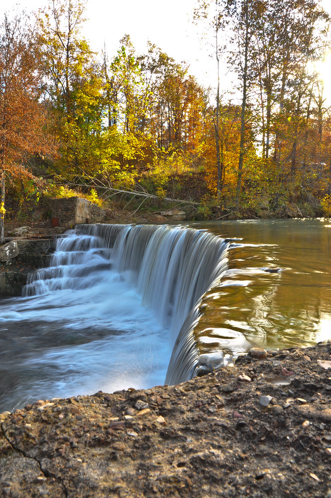
Little Waterfall between Clinton and Leslie

Deck View- Weaver Creek

Waterfall Chasing

Natural Bridge, Clinton, AR
Mount Eagle

Ah, spring!
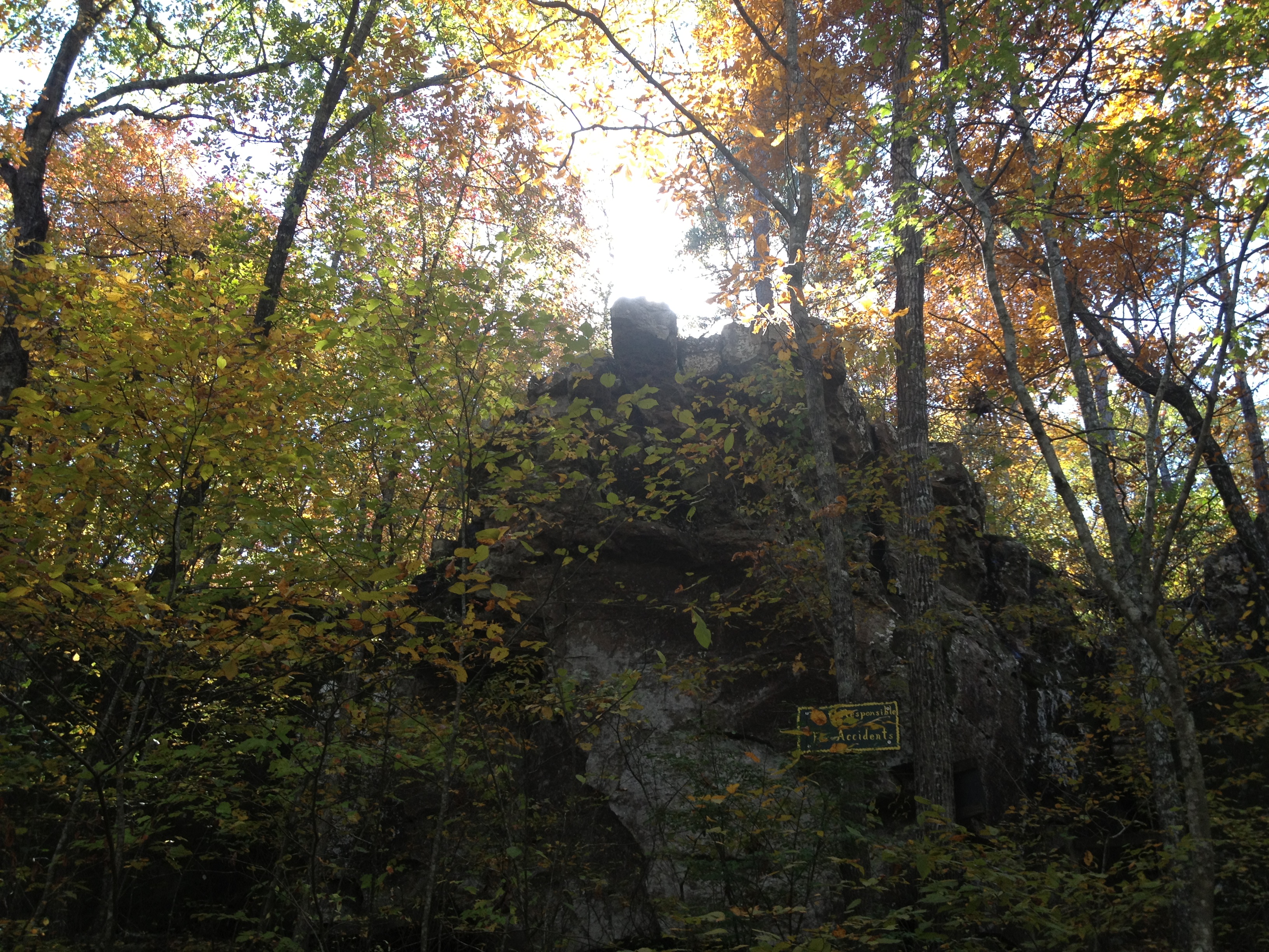
Natural Bridge
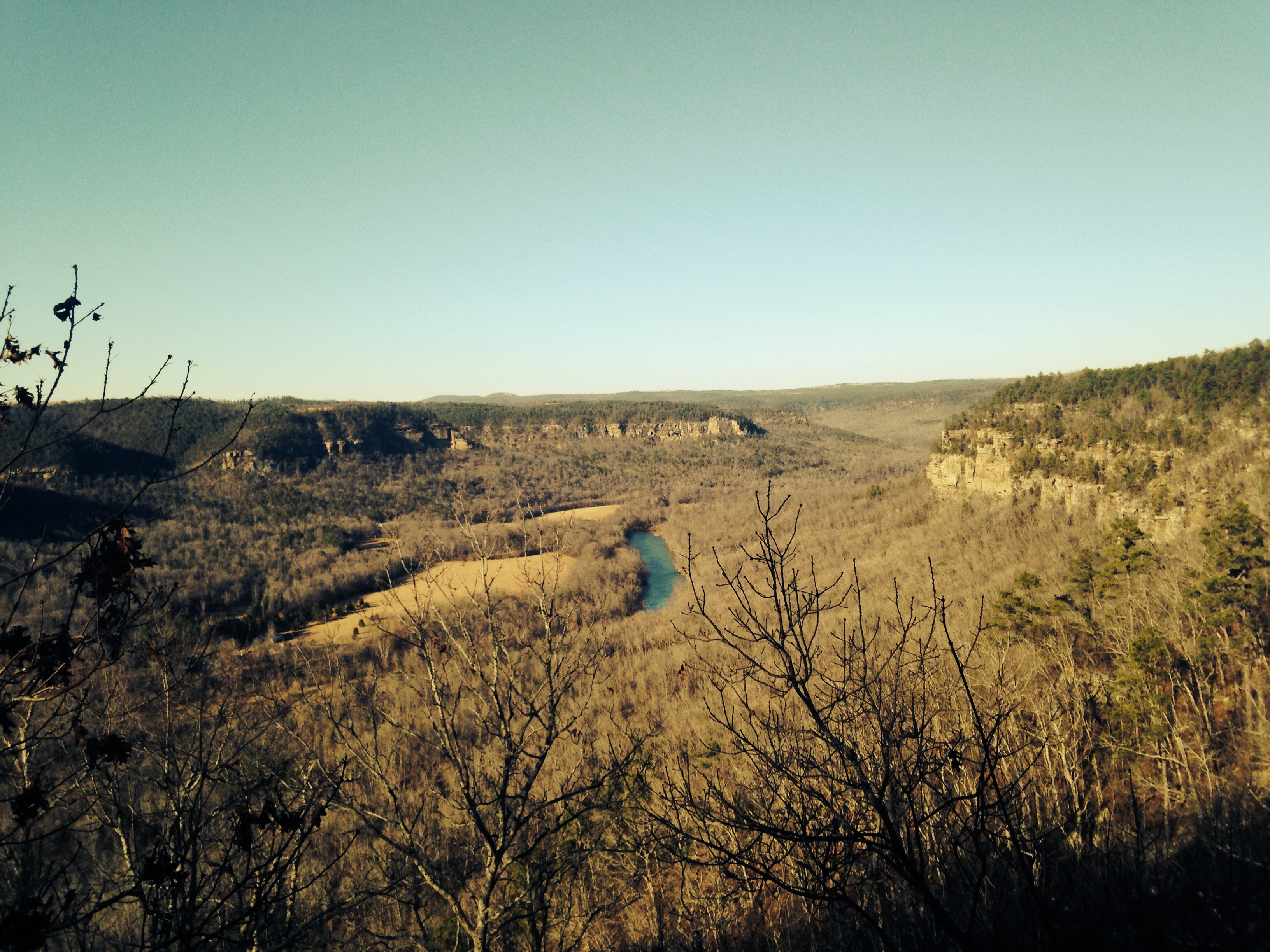
Mount Eagle
Topographic Map of Fayette Road, Fayette Rd, Arkansas, USA
Find elevation by address:

Places near Fayette Road, Fayette Rd, Arkansas, USA:
Ar 65 Hwy N, Clinton, AR, USA
2646 Watergate Rd
West Griggs Township
2029 Ar-16
4057 Ar-16
717 Ar-16
Van Buren County
Clinton, AR, USA
4799 Ar-16
189 Greta Rd
431 Gamble Rd
744 Shake Rag Rd
2848 Shake Rag Rd
10766 Ar-16
10766 Ar-16
Culpepper Township
Mountain Township
AR-95, Clinton, AR, USA
Ar Hwy W, Clinton, AR, USA
AR-95, Scotland, AR, USA
Recent Searches:
- Elevation of Corso Fratelli Cairoli, 35, Macerata MC, Italy
- Elevation of Tallevast Rd, Sarasota, FL, USA
- Elevation of 4th St E, Sonoma, CA, USA
- Elevation of Black Hollow Rd, Pennsdale, PA, USA
- Elevation of Oakland Ave, Williamsport, PA, USA
- Elevation of Pedrógão Grande, Portugal
- Elevation of Klee Dr, Martinsburg, WV, USA
- Elevation of Via Roma, Pieranica CR, Italy
- Elevation of Tavkvetili Mountain, Georgia
- Elevation of Hartfords Bluff Cir, Mt Pleasant, SC, USA