Elevation of Lanty Rd, Solgohachia, AR, USA
Location: United States > Arkansas > Conway County > Mclaren Township >
Longitude: -92.683657
Latitude: 35.3382099
Elevation: 142m / 466feet
Barometric Pressure: 100KPa
Elevation Map:
Satellite Map:
Related Photos:
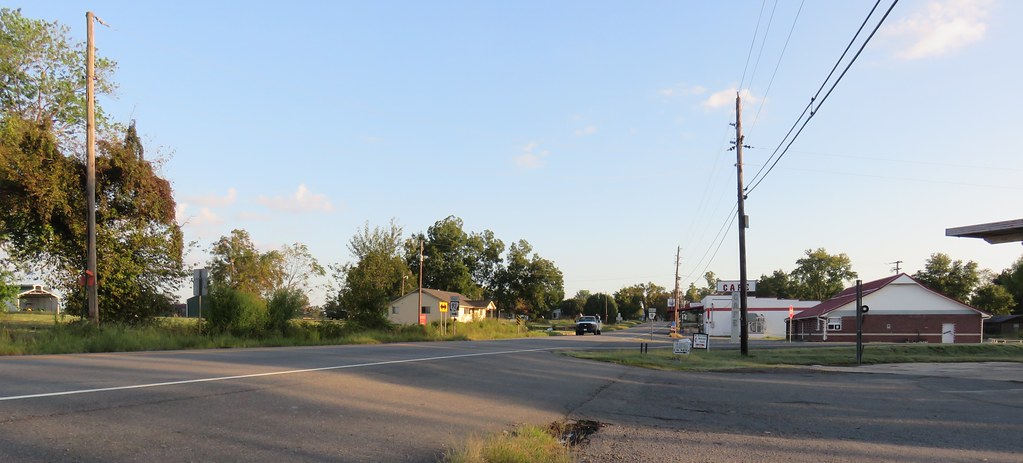
Center Ridge, Arkansas
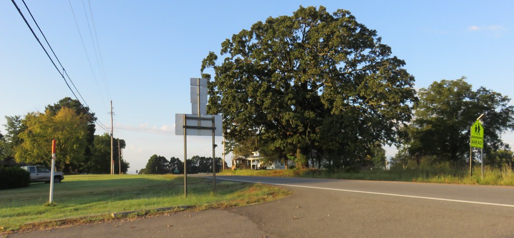
Center Ridge, Arkansas
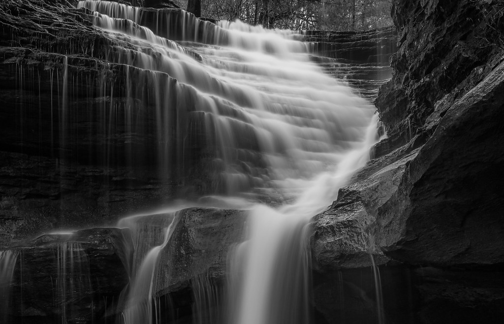
Ladder Bucket Falls (the top half)
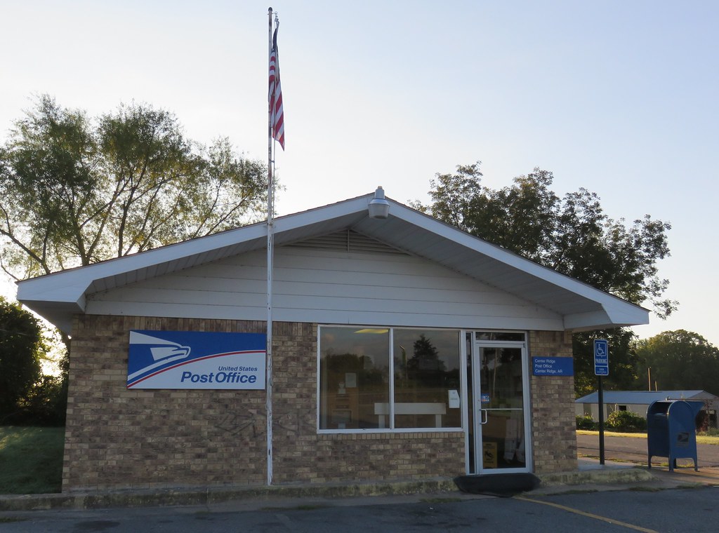
Post Office 72027 (Center Ridge, Arkansas)
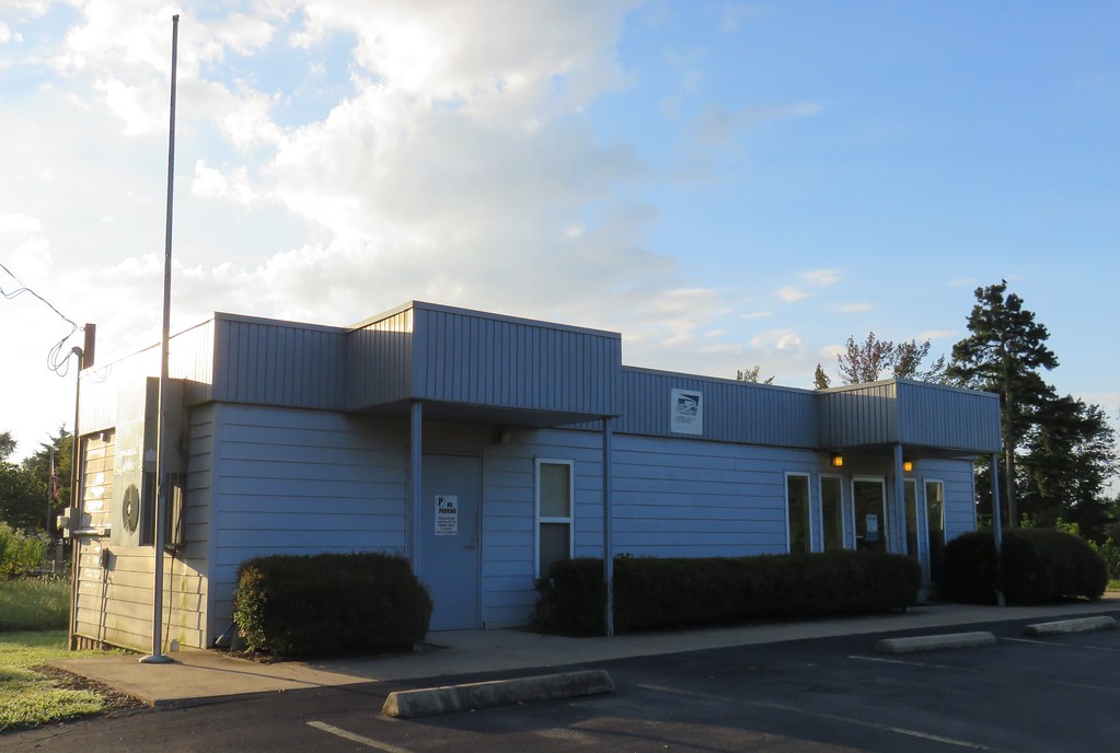
Post Office 72156 (Solgohachia, Arkansas)
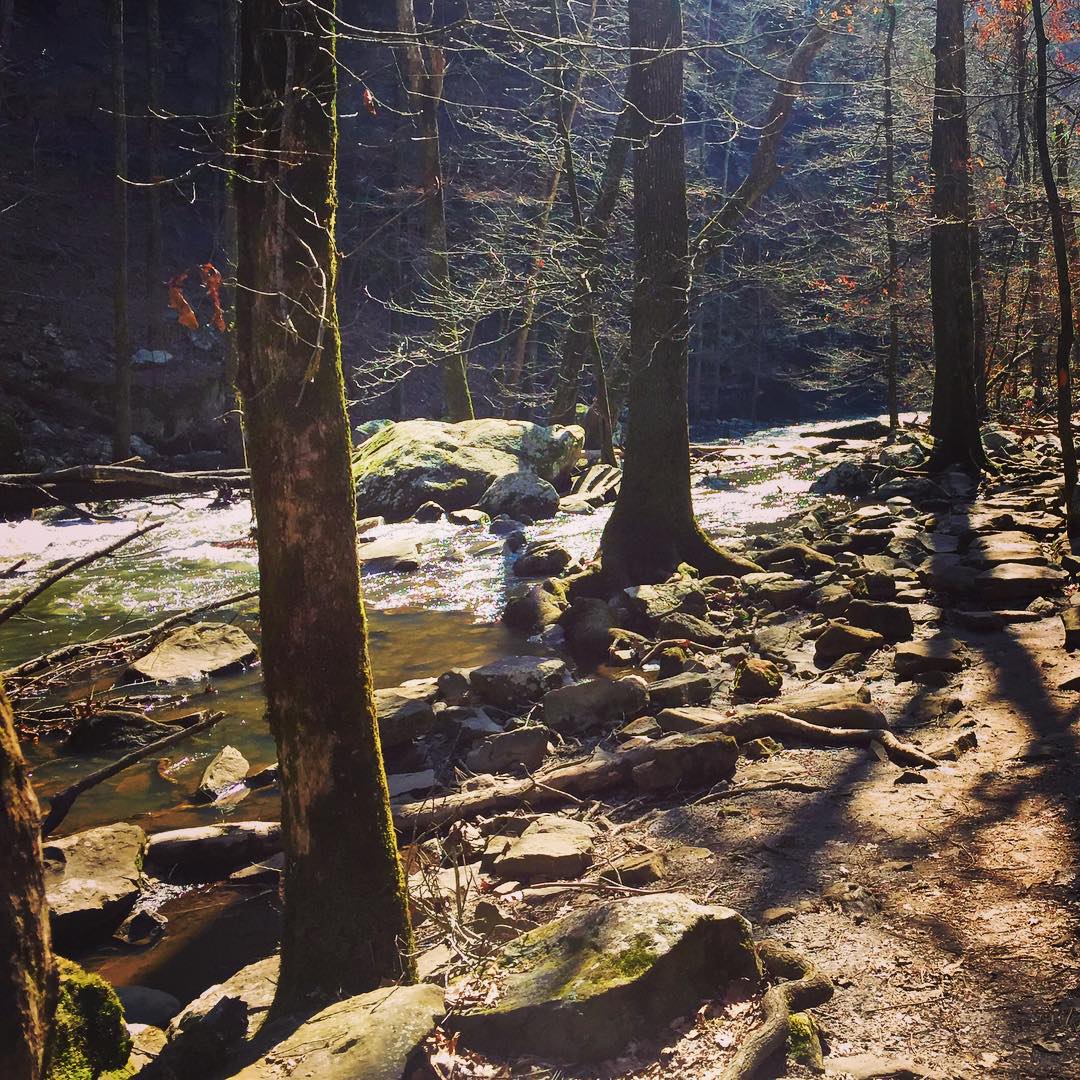
#cedar #creek on #petitjean #mountain #statepark

Autumn's last gasp

2013-12-07 11.07.48

2013-12-23 06.16.00

2014-03-21 10.58.22

2014-03-23 08.28.25

2013-10-06 07.42.47

2013-10-08 09.52.00

2013-10-08 10.08.15

2013-10-10 07.16.03

2013-10-10 10.42.54

2013-10-10 12.58.38

2013-10-20 08.39.00

2013-10-20 08.40.04

2013-10-21 09.27.34

2013-11-17 12.28.56
Topographic Map of Lanty Rd, Solgohachia, AR, USA
Find elevation by address:

Places near Lanty Rd, Solgohachia, AR, USA:
3733 Ar-287
AR-95, Cleveland, AR, USA
39 Middleton Rd, Center Ridge, AR, USA
Cleveland
Nichols Township
Lick Mountain Township
4621 Ar-95
26 Lucy Ln
Center Ridge
AR-9, Center Ridge, AR, USA
Jerusalem Rd, Jerusalem, AR, USA
393 Jerusalem Rd
Co Hwy, Center Ridge, AR, USA
Griffin Township
Dayton Rd, Cleveland, AR, USA
Scotland, AR, USA
AR-9, Clinton, AR, USA
Grassy Hollow Road
Formosa Township
4682 Ar-9
Recent Searches:
- Elevation of Corso Fratelli Cairoli, 35, Macerata MC, Italy
- Elevation of Tallevast Rd, Sarasota, FL, USA
- Elevation of 4th St E, Sonoma, CA, USA
- Elevation of Black Hollow Rd, Pennsdale, PA, USA
- Elevation of Oakland Ave, Williamsport, PA, USA
- Elevation of Pedrógão Grande, Portugal
- Elevation of Klee Dr, Martinsburg, WV, USA
- Elevation of Via Roma, Pieranica CR, Italy
- Elevation of Tavkvetili Mountain, Georgia
- Elevation of Hartfords Bluff Cir, Mt Pleasant, SC, USA