Elevation of McLaren Township, AR, USA
Location: United States > Arkansas > Conway County >
Longitude: -92.6685736
Latitude: 35.3063254
Elevation: 120m / 394feet
Barometric Pressure: 0KPa
Related Photos:
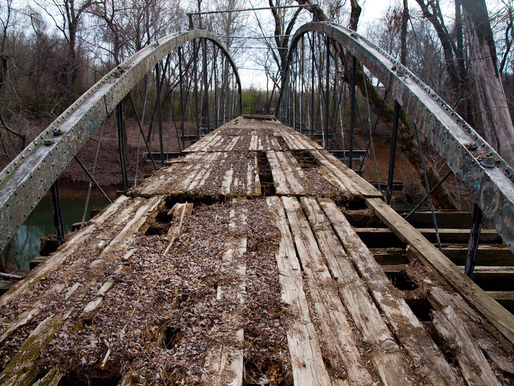
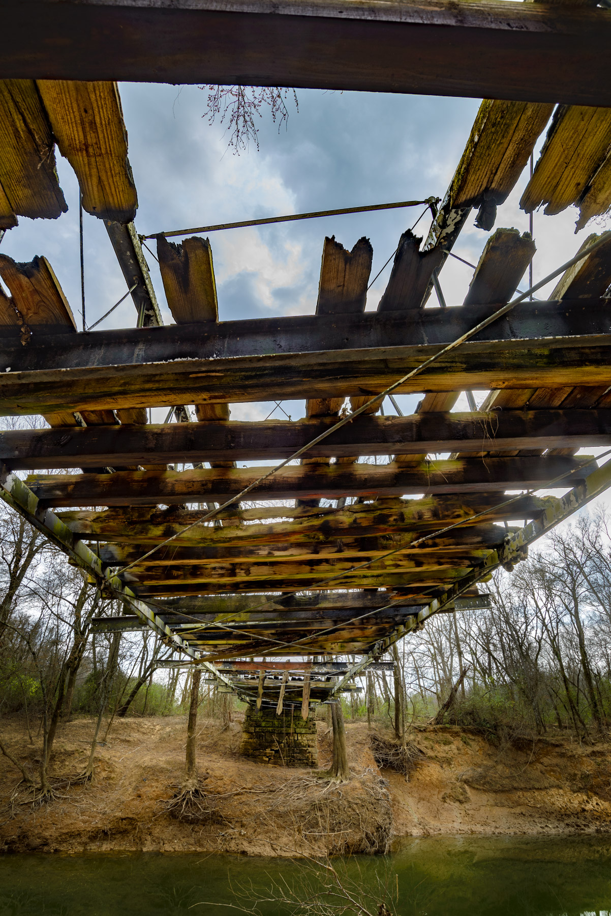
Springfield Bridge
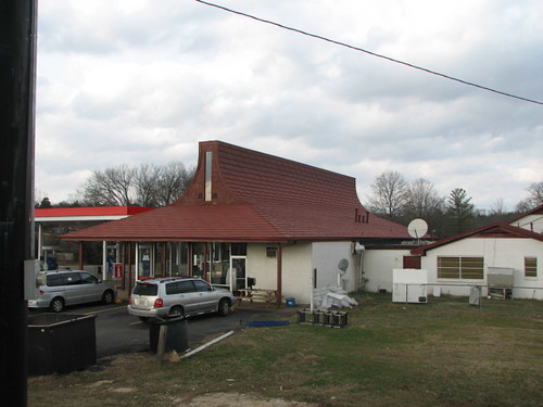
Plumerville Rear View
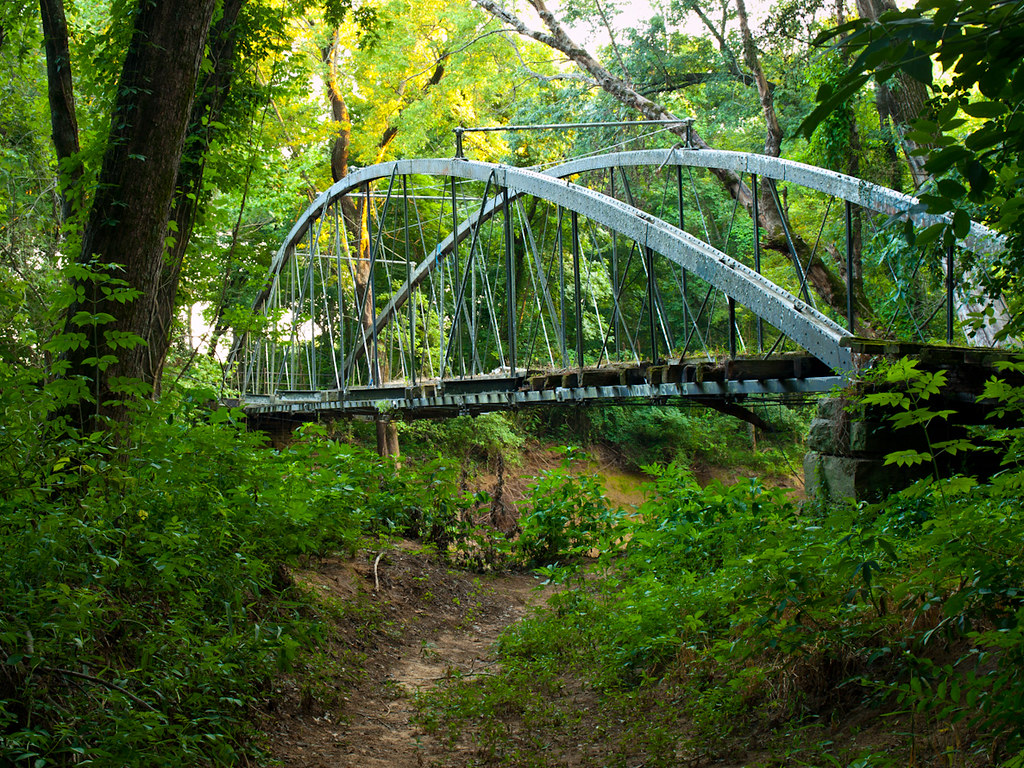
Springfield Bridge
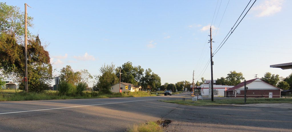
Center Ridge, Arkansas
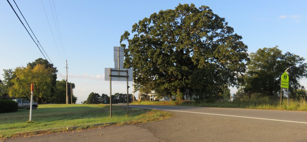
Center Ridge, Arkansas
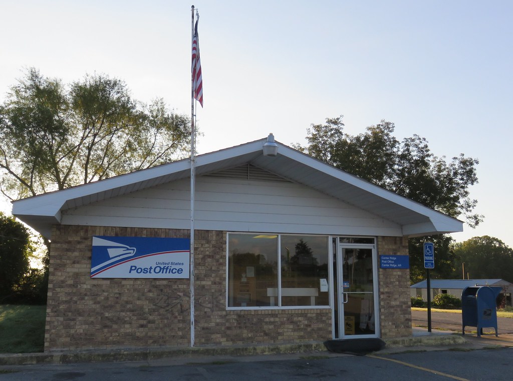
Post Office 72027 (Center Ridge, Arkansas)
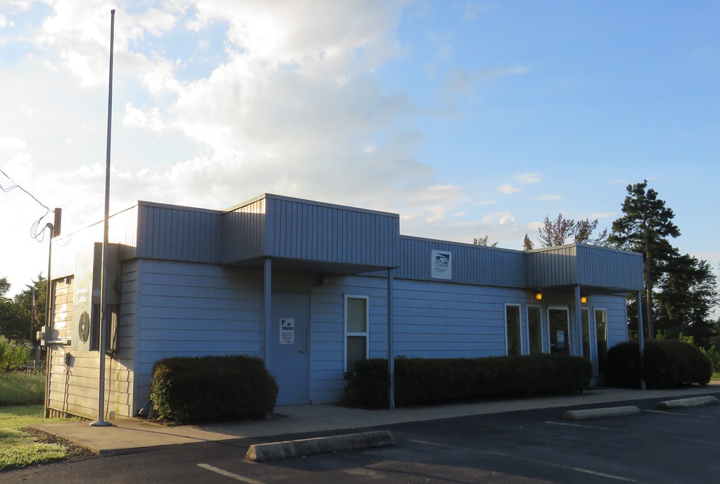
Post Office 72156 (Solgohachia, Arkansas)

Lunch at 34,000 feet
unsafe passage
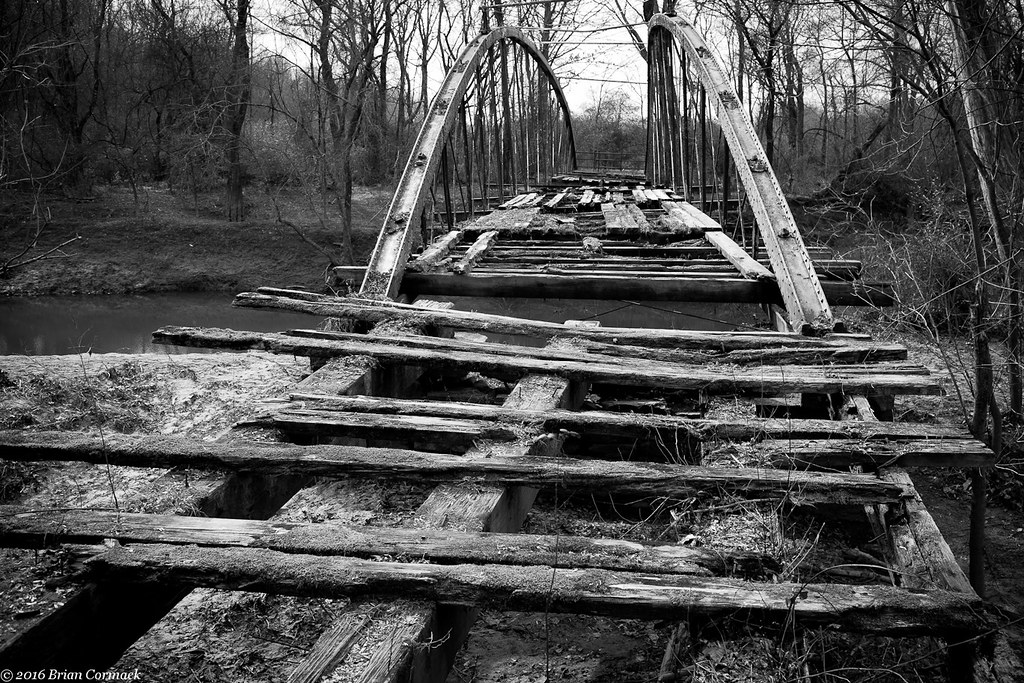
Springfield Bridge
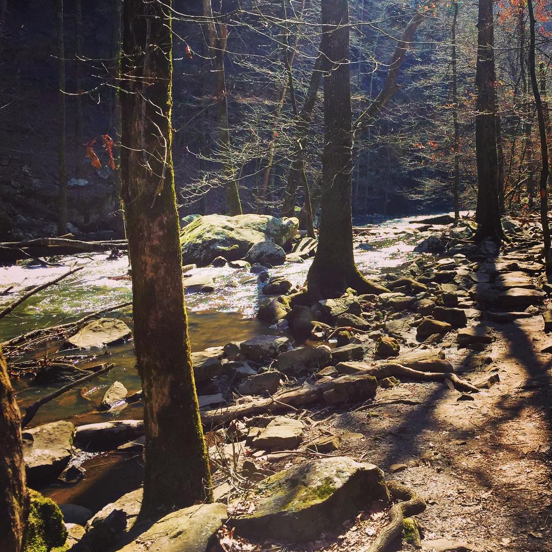
#cedar #creek on #petitjean #mountain #statepark

16/364
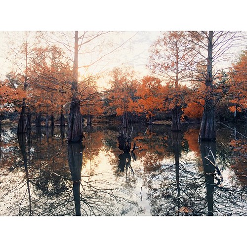
Autumn's last gasp

Proactive communication.

2013-12-07 11.07.48

2013-12-23 06.16.00

2014-03-21 10.58.22

2014-03-23 08.28.25

2013-10-06 07.42.47

2013-10-08 09.52.00

2013-10-08 10.08.15

2013-10-10 07.16.03

2013-10-10 10.42.54

2013-10-10 12.58.38
Topographic Map of McLaren Township, AR, USA
Find elevation by address:

Places in McLaren Township, AR, USA:
Places near McLaren Township, AR, USA:
Tucker Mountain Rd, Solgohachia, AR, USA
Conway County
Bird Township
St. Vincent Township
Birdtown
1 Robb Rd
AR-95, Hattieville, AR, USA
4554 Ar-9
Washington Township
AR-9, Morrilton, AR, USA
187 High Point Rd
AR-95, Morrilton, AR, USA
64 Sutton Ln, Hattieville, AR, USA
3 Hunt Club Rd
36 Hunt Club Rd
Steele Township
8 Hill Creek Dr, Plumerville, AR, USA
2446 Ar-92
Springfield
Hattieville
Recent Searches:
- Elevation map of Greenland, Greenland
- Elevation of Sullivan Hill, New York, New York, 10002, USA
- Elevation of Morehead Road, Withrow Downs, Charlotte, Mecklenburg County, North Carolina, 28262, USA
- Elevation of 2800, Morehead Road, Withrow Downs, Charlotte, Mecklenburg County, North Carolina, 28262, USA
- Elevation of Yangbi Yi Autonomous County, Yunnan, China
- Elevation of Pingpo, Yangbi Yi Autonomous County, Yunnan, China
- Elevation of Mount Malong, Pingpo, Yangbi Yi Autonomous County, Yunnan, China
- Elevation map of Yongping County, Yunnan, China
- Elevation of North 8th Street, Palatka, Putnam County, Florida, 32177, USA
- Elevation of 107, Big Apple Road, East Palatka, Putnam County, Florida, 32131, USA
- Elevation of Jiezi, Chongzhou City, Sichuan, China
- Elevation of Chongzhou City, Sichuan, China
- Elevation of Huaiyuan, Chongzhou City, Sichuan, China
- Elevation of Qingxia, Chengdu, Sichuan, China
- Elevation of Corso Fratelli Cairoli, 35, Macerata MC, Italy
- Elevation of Tallevast Rd, Sarasota, FL, USA
- Elevation of 4th St E, Sonoma, CA, USA
- Elevation of Black Hollow Rd, Pennsdale, PA, USA
- Elevation of Oakland Ave, Williamsport, PA, USA
- Elevation of Pedrógão Grande, Portugal