Elevation of Roger Powell Road, Roger Powell Rd, Sebree, KY, USA
Location: United States > Kentucky > Webster County > Sebree >
Longitude: -87.538564
Latitude: 37.5903324
Elevation: 147m / 482feet
Barometric Pressure: 100KPa
Elevation Map:
Satellite Map:
Related Photos:
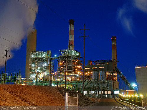
Big Rivers Robert A. Reid Station & Robert D. Green Station

Into the Kentucky wilderness
CSX Q515, Elmwood Curve, Slaughters,KY 12/17/2013
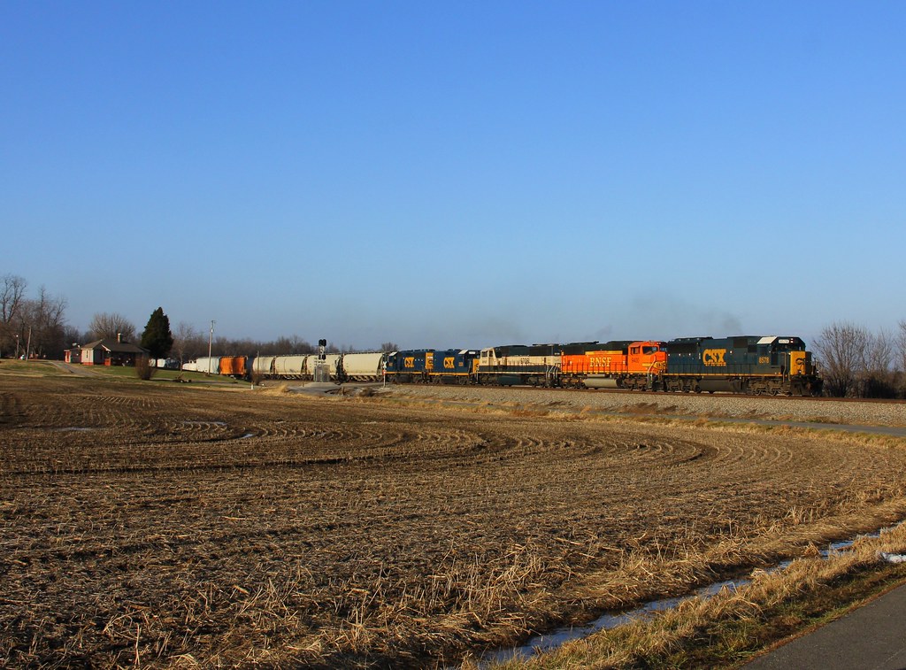
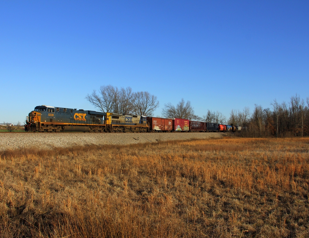
CSX Q026, Breton,KY 12/17/2013

Into the Kentucky Jungle
CSX Q028, Elmwood Curve, Slaughters,KY 12/18/2013
CSX Q124, Elmwood Curve, Slaughters,KY 12/18/2013
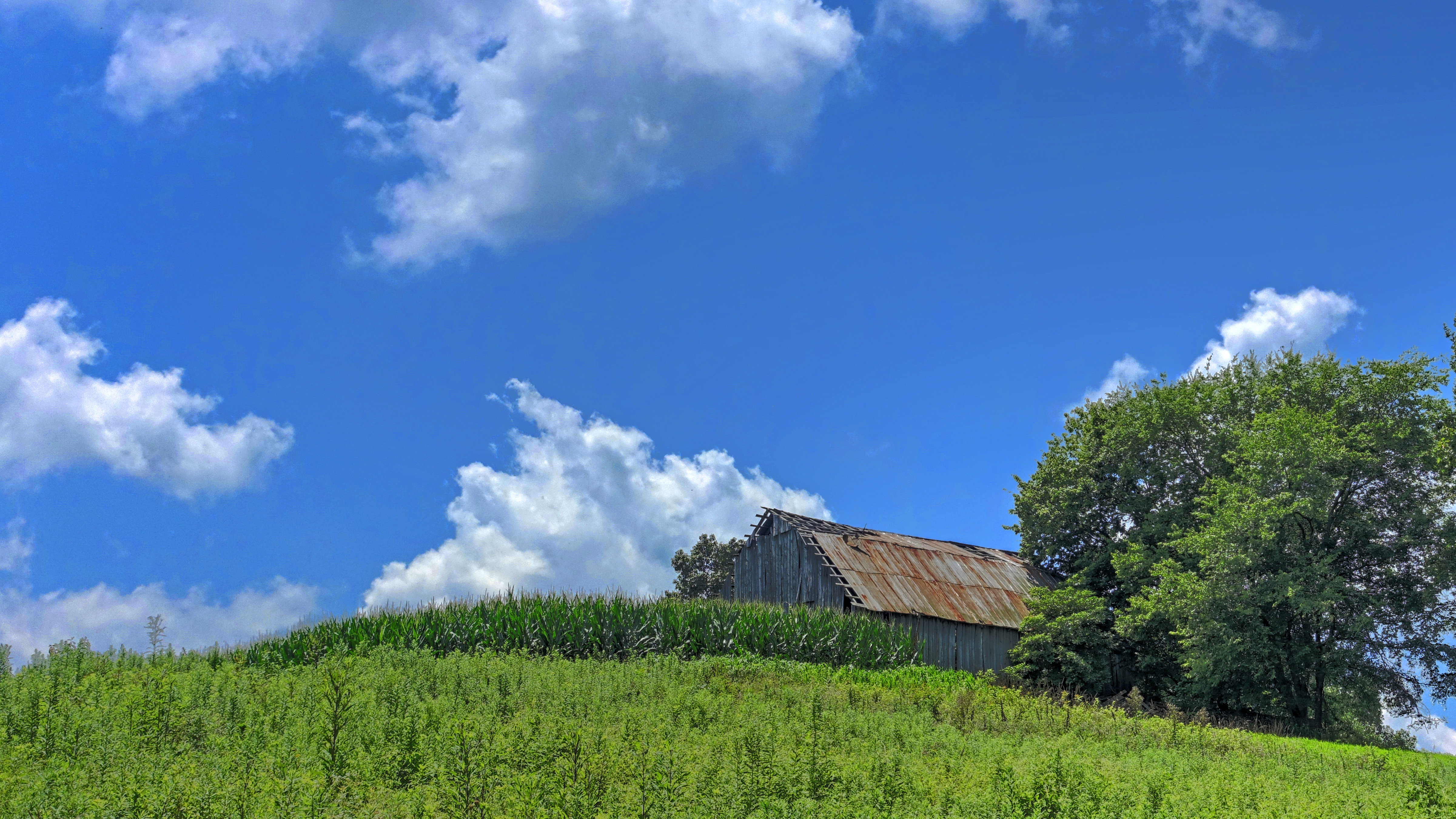
Barn on a Hill

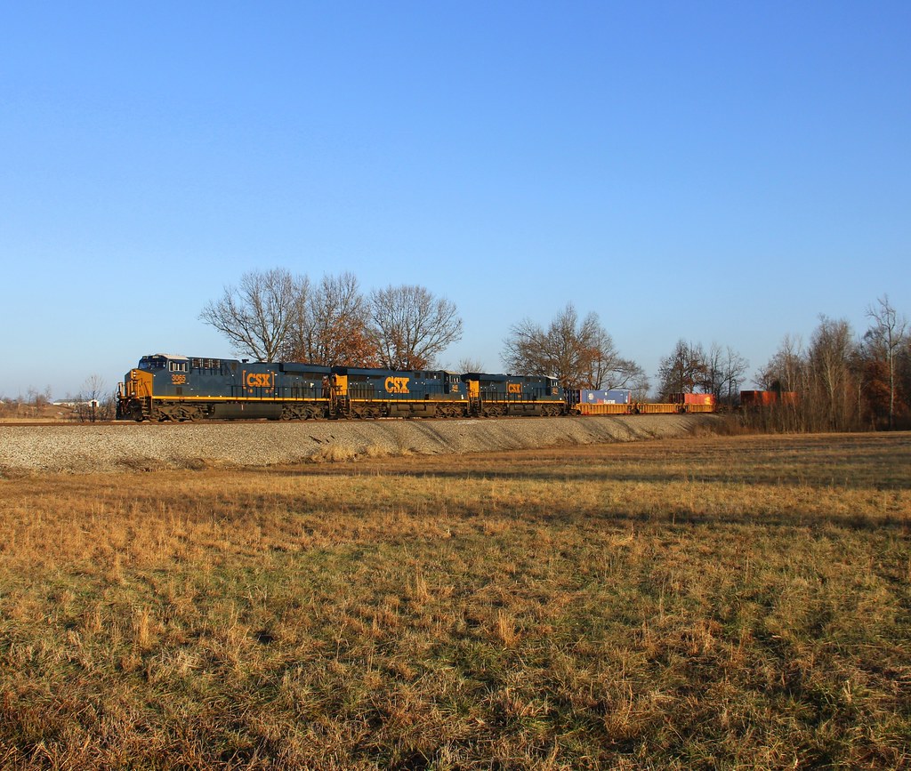
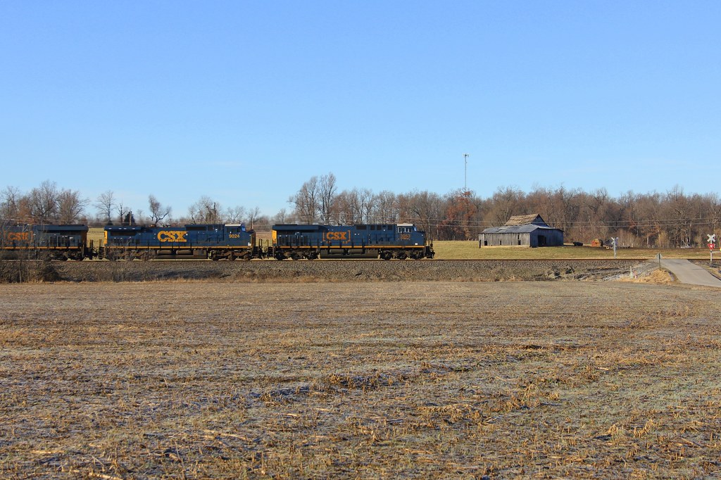
CSXT Q515, Elmwood, KY
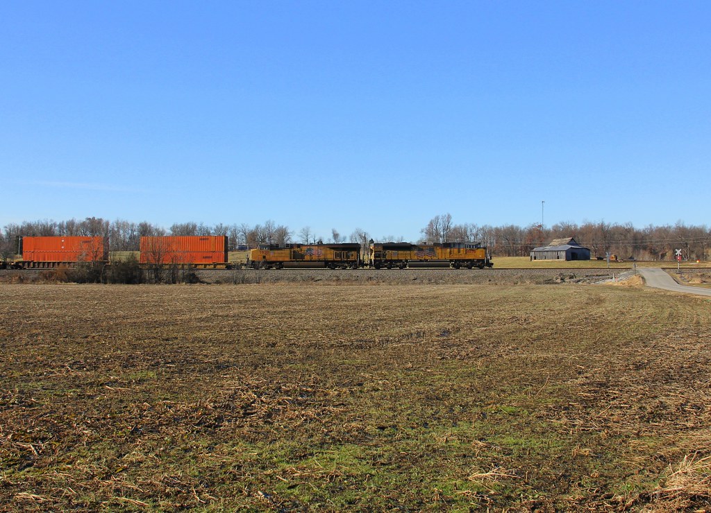
CSX Q588, Breton,KY 1/19/2013
Topographic Map of Roger Powell Road, Roger Powell Rd, Sebree, KY, USA
Find elevation by address:

Places near Roger Powell Road, Roger Powell Rd, Sebree, KY, USA:
2 US-41, Sebree, KY, USA
Sebree
327 Watkins School Rd
Watkins School Rd, Sebree, KY, USA
Robards
Hester Winstead Road
KY-, Slaughters, KY, USA
Slaughters
23 Main Cross St
US-41 ALT, Corydon, KY, USA
1470 Wanamaker Rd
KY-, Robards, KY, USA
Main St, Calhoun, KY, USA
84 State Hwy, Dixon, KY, USA
State Hwy, Robards, KY, USA
Henderson County
Upper Delaware Rd, Henderson, KY, USA
Delaware Ferry Ln, Owensboro, KY, USA
Dixon
16 US-41 ALT, Dixon, KY, USA
Recent Searches:
- Elevation of Corso Fratelli Cairoli, 35, Macerata MC, Italy
- Elevation of Tallevast Rd, Sarasota, FL, USA
- Elevation of 4th St E, Sonoma, CA, USA
- Elevation of Black Hollow Rd, Pennsdale, PA, USA
- Elevation of Oakland Ave, Williamsport, PA, USA
- Elevation of Pedrógão Grande, Portugal
- Elevation of Klee Dr, Martinsburg, WV, USA
- Elevation of Via Roma, Pieranica CR, Italy
- Elevation of Tavkvetili Mountain, Georgia
- Elevation of Hartfords Bluff Cir, Mt Pleasant, SC, USA