Elevation of Main St, Calhoun, KY, USA
Location: United States > Kentucky > Mclean County > Calhoun >
Longitude: -87.396708
Latitude: 37.6157108
Elevation: 122m / 400feet
Barometric Pressure: 100KPa
Elevation Map:
Satellite Map:
Related Photos:
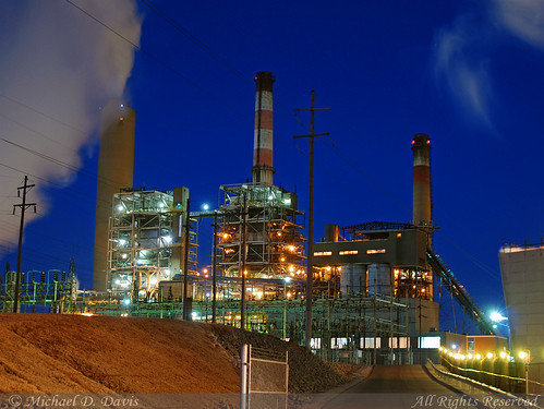
Big Rivers Robert A. Reid Station & Robert D. Green Station

Calhoun River

McLean County Fair -116

McLean County Fair -253
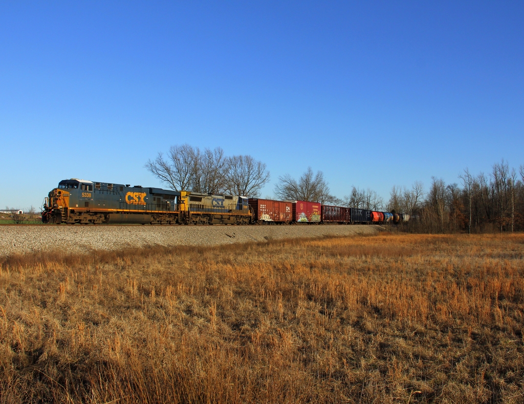
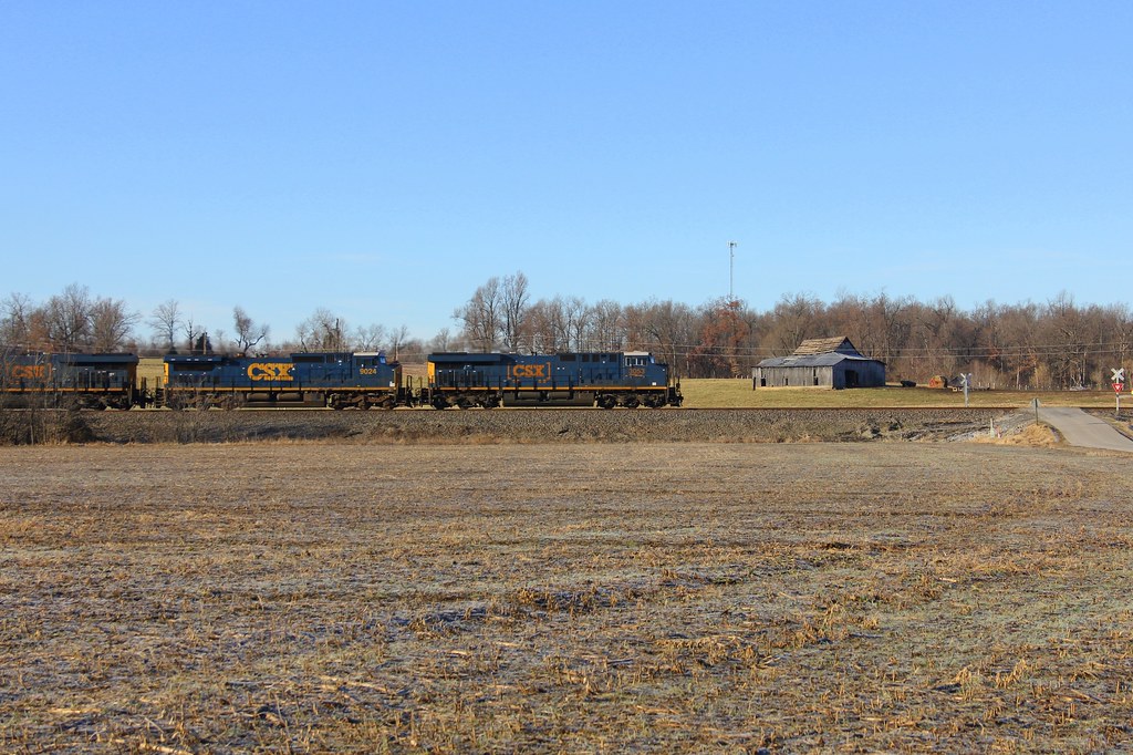
CSX Q515, Elmwood Curve, Slaughters,KY 12/17/2013
CSX Q588, Breton,KY 1/19/2013

My Old Kentucky Home

McLean County Fair -193
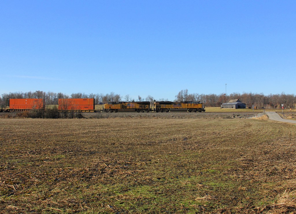
CSX Q026, Breton,KY 12/17/2013
CSX Q028, Elmwood Curve, Slaughters,KY 12/18/2013
At Mike's

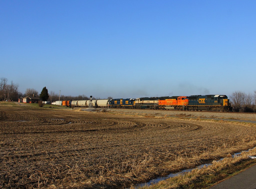
CSXT Q515, Elmwood, KY
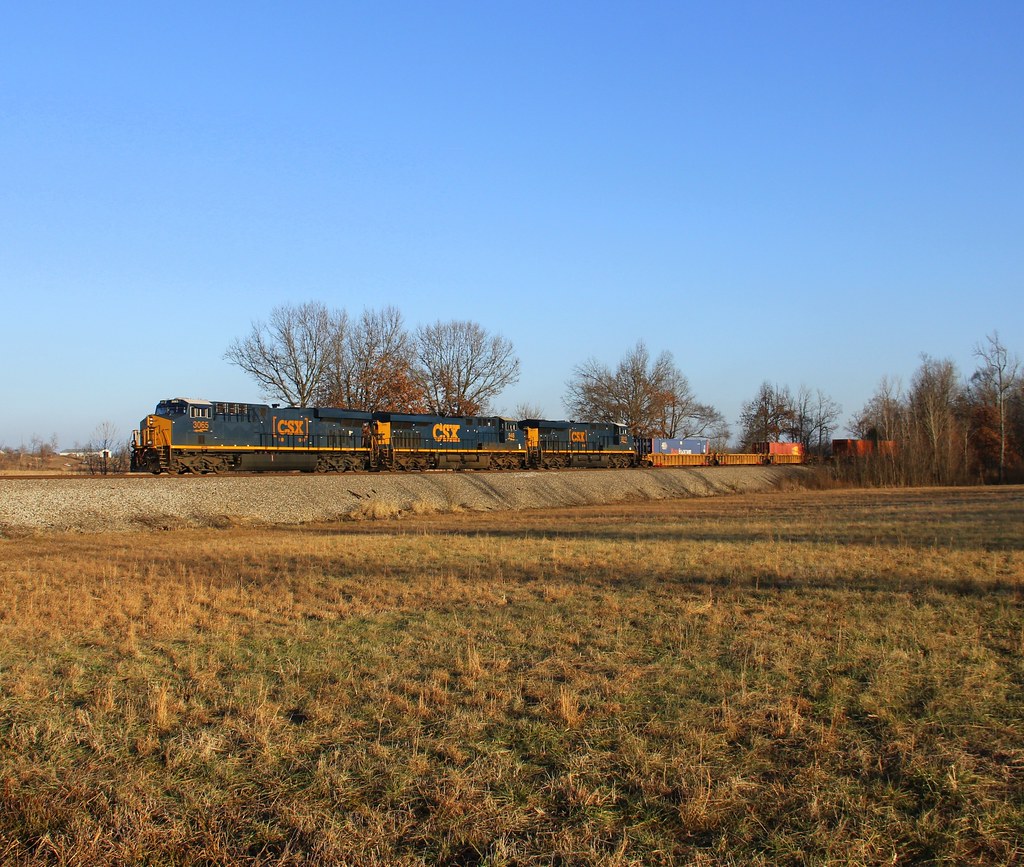
CSX Q124, Elmwood Curve, Slaughters,KY 12/18/2013

Aerial - Windy Hollow

Dark Tobacco

Barn on a Hill
Topographic Map of Main St, Calhoun, KY, USA
Find elevation by address:

Places near Main St, Calhoun, KY, USA:
KY-, Calhoun, KY, USA
KY-, Calhoun, KY, USA
Delaware Ferry Ln, Owensboro, KY, USA
9450 Ky-258
Onton Rd, Slaughters, KY, USA
KY-, Calhoun, KY, USA
Upper Delaware Rd, Henderson, KY, USA
Sebree
2 US-41, Sebree, KY, USA
Hobbs Rd, Owensboro, KY, USA
Boone St, Owensboro, KY, USA
State Hwy, Robards, KY, USA
KY-, Robards, KY, USA
2041 Alves Ferry Rd
Roger Powell Road
Mclean County
KY-, Calhoun, KY, USA
Calhoun
Robards
Rumsey
Recent Searches:
- Elevation of Corso Fratelli Cairoli, 35, Macerata MC, Italy
- Elevation of Tallevast Rd, Sarasota, FL, USA
- Elevation of 4th St E, Sonoma, CA, USA
- Elevation of Black Hollow Rd, Pennsdale, PA, USA
- Elevation of Oakland Ave, Williamsport, PA, USA
- Elevation of Pedrógão Grande, Portugal
- Elevation of Klee Dr, Martinsburg, WV, USA
- Elevation of Via Roma, Pieranica CR, Italy
- Elevation of Tavkvetili Mountain, Georgia
- Elevation of Hartfords Bluff Cir, Mt Pleasant, SC, USA