Elevation of 2 US-41, Sebree, KY, USA
Location: United States > Kentucky > Webster County > Sebree >
Longitude: -87.5291543
Latitude: 37.6062017
Elevation: 119m / 390feet
Barometric Pressure: 0KPa
Related Photos:
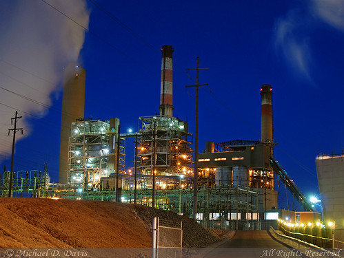
Big Rivers Robert A. Reid Station & Robert D. Green Station
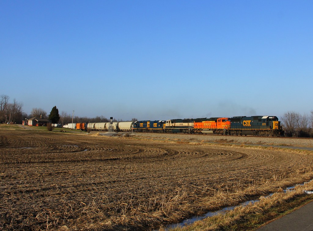
CSX Q515, Elmwood Curve, Slaughters,KY 12/17/2013
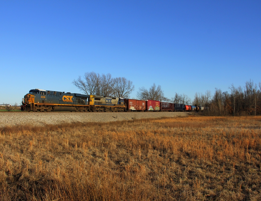
CSX Q588, Breton,KY 1/19/2013
CSX Q026, Breton,KY 12/17/2013
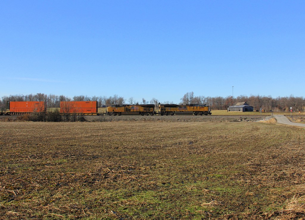
CSX Q028, Elmwood Curve, Slaughters,KY 12/18/2013

CSXT Q515, Elmwood, KY
CSX Q124, Elmwood Curve, Slaughters,KY 12/18/2013
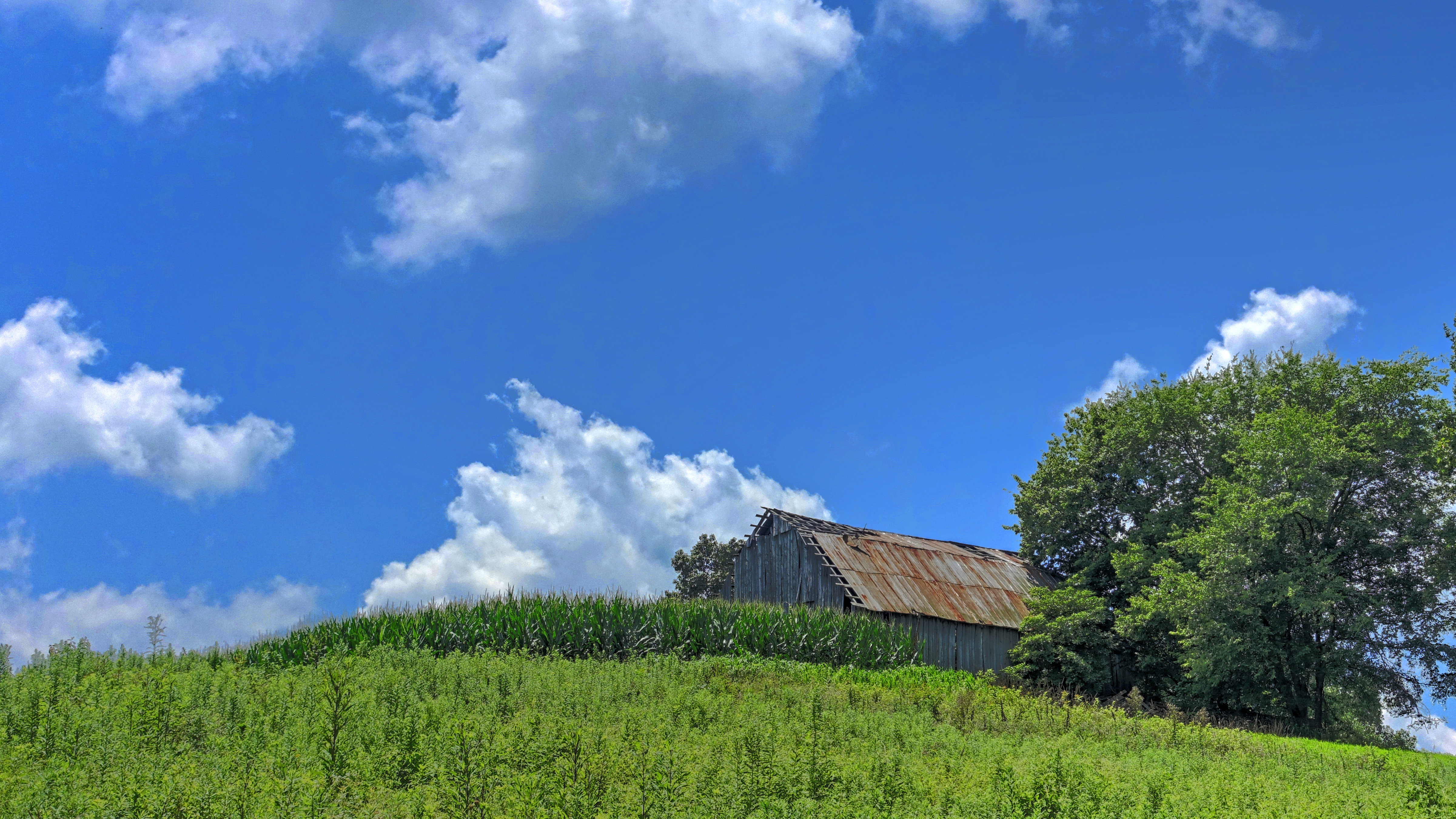
Barn on a Hill

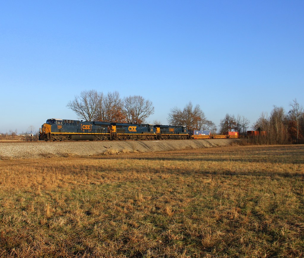
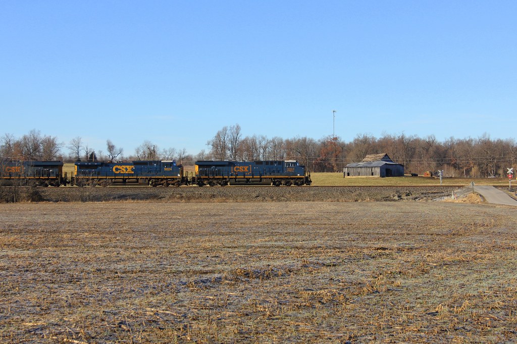
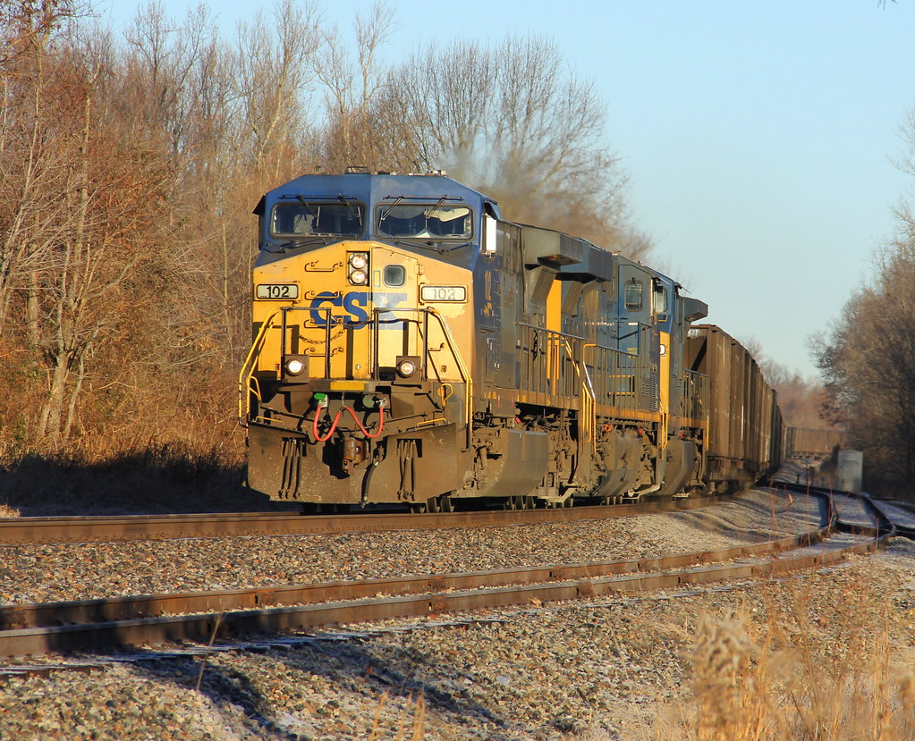
CSX Q028, Slaughters,KY 4/29/2016

Horses blow bubbles, too

Buried in Corn

Kindergarten Field Trip to Cates Farm

E J

My Dog Snoop

Pastor Bob and Me

Bob and Violet

Northern Harrier (male)
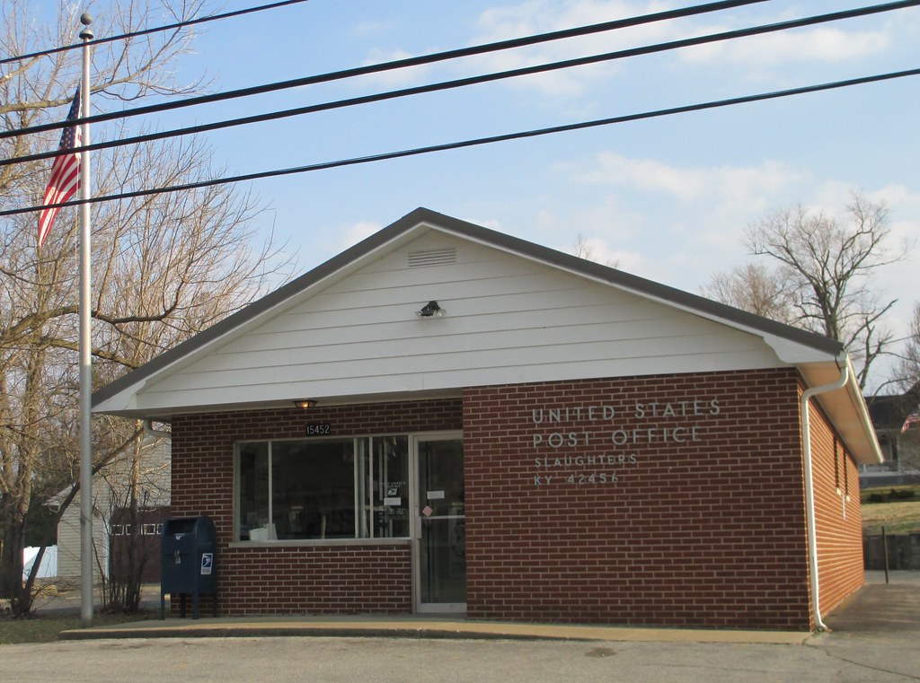
Post Office 42456 (Slaughters, Kentucky)
CSX T084, Robards,KY 12/18/2013

CSX Q029, Breton,KY 12/18/2013

Lurking Beast? IMG_1667
Topographic Map of 2 US-41, Sebree, KY, USA
Find elevation by address:

Places near 2 US-41, Sebree, KY, USA:
Sebree
Roger Powell Road
327 Watkins School Rd
Watkins School Rd, Sebree, KY, USA
Robards
Hester Winstead Road
KY-, Slaughters, KY, USA
Slaughters
US-41 ALT, Corydon, KY, USA
23 Main Cross St
KY-, Robards, KY, USA
1470 Wanamaker Rd
Main St, Calhoun, KY, USA
State Hwy, Robards, KY, USA
Upper Delaware Rd, Henderson, KY, USA
Henderson County
Delaware Ferry Ln, Owensboro, KY, USA
Old Robards Rd, Henderson, KY, USA
9450 Ky-258
84 State Hwy, Dixon, KY, USA
Recent Searches:
- Elevation map of Greenland, Greenland
- Elevation of Sullivan Hill, New York, New York, 10002, USA
- Elevation of Morehead Road, Withrow Downs, Charlotte, Mecklenburg County, North Carolina, 28262, USA
- Elevation of 2800, Morehead Road, Withrow Downs, Charlotte, Mecklenburg County, North Carolina, 28262, USA
- Elevation of Yangbi Yi Autonomous County, Yunnan, China
- Elevation of Pingpo, Yangbi Yi Autonomous County, Yunnan, China
- Elevation of Mount Malong, Pingpo, Yangbi Yi Autonomous County, Yunnan, China
- Elevation map of Yongping County, Yunnan, China
- Elevation of North 8th Street, Palatka, Putnam County, Florida, 32177, USA
- Elevation of 107, Big Apple Road, East Palatka, Putnam County, Florida, 32131, USA
- Elevation of Jiezi, Chongzhou City, Sichuan, China
- Elevation of Chongzhou City, Sichuan, China
- Elevation of Huaiyuan, Chongzhou City, Sichuan, China
- Elevation of Qingxia, Chengdu, Sichuan, China
- Elevation of Corso Fratelli Cairoli, 35, Macerata MC, Italy
- Elevation of Tallevast Rd, Sarasota, FL, USA
- Elevation of 4th St E, Sonoma, CA, USA
- Elevation of Black Hollow Rd, Pennsdale, PA, USA
- Elevation of Oakland Ave, Williamsport, PA, USA
- Elevation of Pedrógão Grande, Portugal