Elevation of Henderson County, KY, USA

Location: United States > Kentucky >

Longitude: -87.579128

Latitude: 37.7415161

Elevation: 127m / 417feet

Barometric Pressure: 100KPa

Elevation Map:

elevation map of Henderson County, KY, USA

Satellite Map:

Satellite map of Henderson County, KY, USA

Related Photos:

trees clouds geotagged rainbow kentucky farmland fields farms rainbows storms bbe bypass badweather severeweather westernkentucky naturesart endoftherainbow buiilding cloudyskies ohiorivervalley photographyrocks weatherphotography hendersonkentucky royalgroup flickraward hendersoncountykentucky 1on1colorfulphotooftheweek gününeniyisithebestofday soybeanfields geo:lat=37791049 geo:lon=87574532 1on1colorfulphotooftheweekoctober2010
The End of the Rainbow
trees sun sunlight hat statue bronze clouds geotagged 10 5 kentucky platform silhouettes bluesky evergreen harmony ccc limbs ax onwhite picnik fdr onblack westernkentucky historicalplaces ohiorivervalley 5faves 10faves sunsunsun audubonstatepark twtme thedepression withsky viewonblack hendersonkentucky commonwealthofkentucky kentuckystatepark ohiorivercity flickrhearts theworker historyisallaroundus zerofaves globalvillage2 heartawards johnjamesaudubonpark hendersoncountykentucky platinumheartaward thebluegrassstate viewonwhite historyantiquities qualitypixels skyascanvas photographersgonewild flickrpopularphotographer theskytheme stateparkandrecreationarea thecccboysofcampcromwellcompany1540 19331942 dedicated2005 johnjamesaudubonmuseum geo:lat=37879799 geo:lon=87560692 thecivilianconservationcorps investmentinamerica whatweneedtoday theskyasacanvas ourkentucky
**
geotagged geo:lon=87592745 geo:lat=37842387
Looking Out Over the River
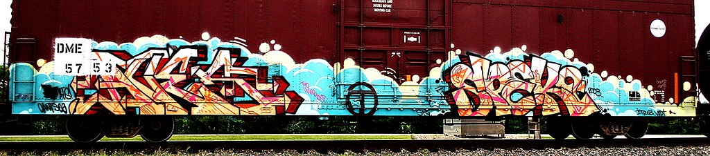
railroad rural geotagged graffiti moving crossing kentucky tag tracks railway tags aves tagged stamp explore railcar rails buff boxcar graff graphiti g3 2008 rolling stamped dme gravel 08 railroadcrossing inmotion buffed itd trainart westernkentucky paintedtrain railart endtoend spek speke spraypaintart cantsee ohiorivervalley sr136 5753 edgeoftown end2end paintedsteel hendersonkentucky boxcarart vidt hendersoncountykentucky taggedboxcar paintedboxcar stateroad136 ⓣ paintedrailcar taggedrailcar geo:lat=37805923 geo:lon=8757598 exploreformyspacestation trainsformyspacestation
Aves Ⓣ Spek
trees sun sunlight hat silhouette clouds geotagged kentucky evergreens ccc ax inverted picnik fdr westernkentucky civilianconservationcorps ohiorivervalley hendersonkentucky commonwealthofkentucky kentuckystatepark ohiorivercity johnjamesaudubonpark hendersoncountykentucky thebluegrassstate geo:lat=37879731 geo:lon=8756052 stateparkandrecreationarea thecccboysofcampcromwellcompany1540 19331942 johnjamesaudubonmuseum
**
geotagged geo:lat=37842451 geo:lon=87592699
....
railroad art cat skull graffiti streak kentucky ky tag graf tracks railway tags tagged railcar taco rails boxcar ladder xxx graff graphiti streaks trainyard bookman trainart bta rollingstock westernkentucky paintedtrain freightyard railart flyingskull spraypaintart monikers readmorebooks moniker reflectivetape ohiorivervalley hendersonky movingart dgf taggedtrain skullwithwings hendersonkentucky boxcarart stackabones headwithwings hendersoncountykentucky icecramcone taggedboxcar paintedboxcar sofserv paintedrailcar taggedrailcar bongwaterbilly artbombs ridinthelinehigh alsomoreevil
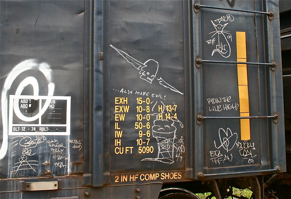
BongWater Billy, Read More Books, Sof Serv, Taco and others
railroad art geotagged graffiti streak kentucky ky tag graf tracks railway tags tagged railcar rails boxcar ladder graff graphiti streaks trainyard trainart bta rollingstock westernkentucky paintedtrain freightyard railart prieststreet spraypaintart monikers moniker reflectivetape ohiorivervalley hendersonky movingart taggedtrain viewonblack hendersonkentucky boxcarart hendersoncountykentucky railcarart taggedboxcar paintedboxcar csxtrainyard sofserv geo:lat=37839835 paintedrailcar taggedrailcar smalltrainyard bongwaterbilly artbombs smallfreightyard geo:lon=87564447 blackmetalstupid
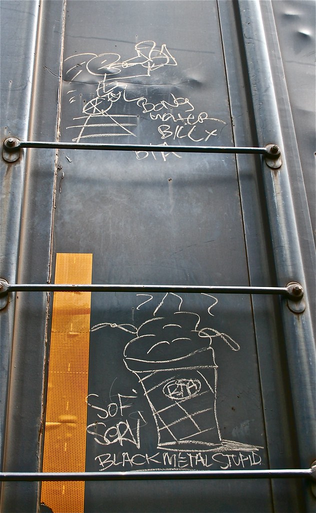
Bongwater Billy - Sof Serv "Black Metal Stupid"
trees light blackandwhite bw sunlight tree byn monochrome field silhouette clouds rural windyday geotagged blackwhite airport shadows farm kentucky framed branches silhouettes brush farmland mirrored layers limbs sunrays backroad shining picnik countryroad cloudysky flatlands whiteandblack westernkentucky postprocessing openfield pisca treelines ohiorivervalley sunpilars oldhighway blackwhitephotos edgeoftown graytones hendersonkentucky darkafternoon ruralkentucky scenicbiway hendersoncountykentucky genevakentucky suncolumns thebluegrassstate hendersonindustrialpark thecommonwealthofkentucky geo:lat=37808156 cloudywintersky unseasonalblywarm hendersoncountyairport cloudywinterskies stateroad129 geo:lon=8771493
In Mother Nature's Spot Light
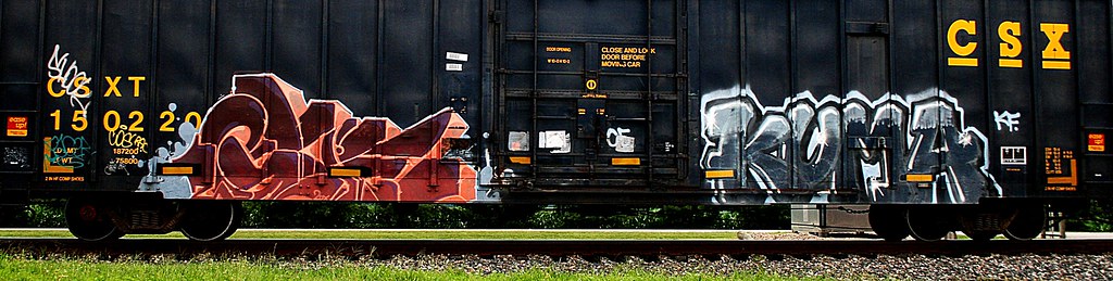
railroad rural logo geotagged graffiti moving sticker crossing kentucky steel glue tag tracks railway tags tagged railcar rails boxcar graff graphiti backroad rolling gravel railroadcrossing inmotion kuma csx trainart westernkentucky railart csxt ohiorivervalley sr136 edgeoftown hendersonkentucky easeup hendersoncountykentucky taggedboxcar paintedboxcar stateroad136 150220 csxboxcar railcarpainted trainpainted paintedrailcar taggedrailcar geo:lat=37805897 geo:lon=87575975 paintedboxcartagged boxcartagged
Glue/kuma
geotagged geo:lat=37820497 geo:lon=87544985
...
geotagged geo:lat=37842458 geo:lon=8759269
....
geotagged graffiti sticker tag tags tagged pear graff graphiti trainart paintedtrain railart easeup nsfcrew paintedboxcar geo:lat=37839072 geo:lon=8756567 smallinktag trainsformyspacestation
pear (nsf crew)
geotagged picnik geo:lat=37820768 geo:lon=87544127
.
plant flower green geotagged weed dof purple bokeh kentucky thistle depthoffield westernkentucky floweringplant prieststreet purplethistle ohiorivervalley hendersonkentucky hendersoncountykentucky geo:lat=37835149 geo:lon=87572247 hhstreet
..
animal llama farmanimal
Just Chewin'
trees winter sun sunlight reflection water birds rural geotagged countryside flying geese duck inflight wings corn kentucky flight lowlands feathers bluesky aves farmland goose wetlands birdsinflight waterfowl waterdrops treeline onwhite dripping picnik waterbirds flooded onblack beaks westernkentucky openfield riverbottoms sloughs ohioriverbottoms ohiorivervalley cominginforalanding floodplane passionphotography viewonblack avianphotography tristateareakyinil zerofaves citrit hendersoncountykentucky natureoutpost fbdg goldstaraward genevakentucky viewonwhite salveanatureza kentuckywildlifemanagementarea sloughswetlandswaterfowlrefuge wetlandd floodedcornfield geo:lat=37847469 geo:lon=87698053 ourkentucky
Here Comes the Rain....
geotagged geo:lon=87691412 geo:lat=37842733
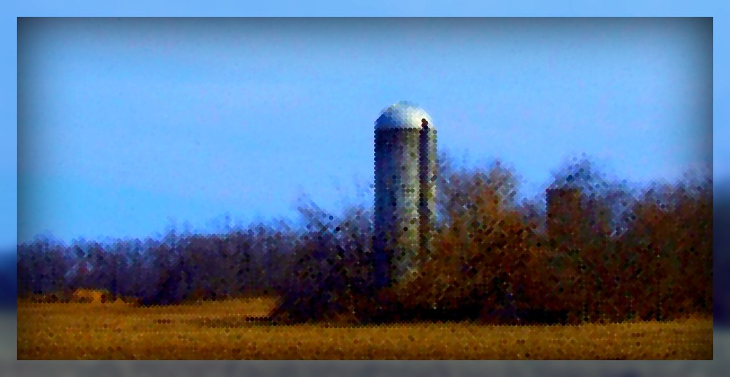
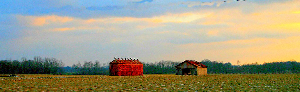
Impressions of a Forgotten Silo
road trees rain weather clouds fence geotagged chains rainbow weeds rainyday ditch farm kentucky rusty windy farmland fields thunderstorm rainbows bushes bypass downpour stormyweather drenched severeweather westernkentucky heavyrain oldfence cloudyday endoftherainbow woodenpost soybeanfield ohiorivervalley openfields doublerainbows severethunderstorm weatherphotography hendersonkentucky hendersoncountykentucky platinumheartaward cloudslightningstorms hendersonbypass geo:lat=37787878 geo:lon=8758908 edgeofstorm
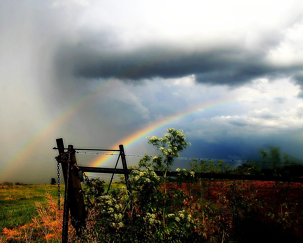
Looking Up at a Double Rainbow
geotagged geo:lon=8769727 geo:lat=37848866
Watching the Refuge
geotagged picnik geo:lat=37809784 geo:lon=87712226
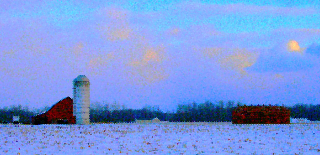
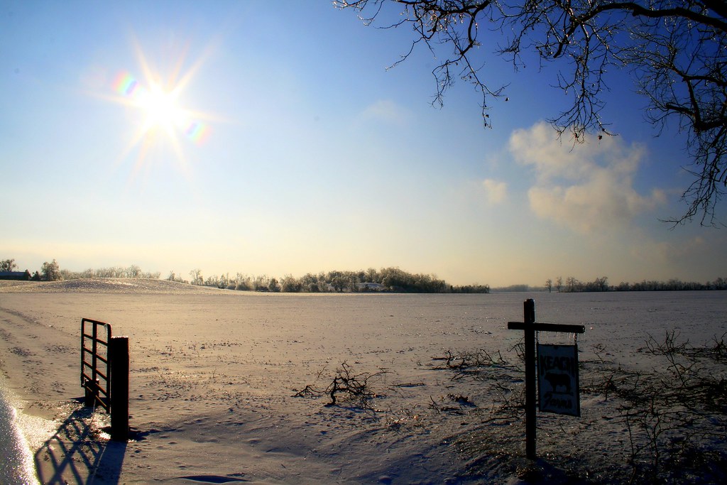
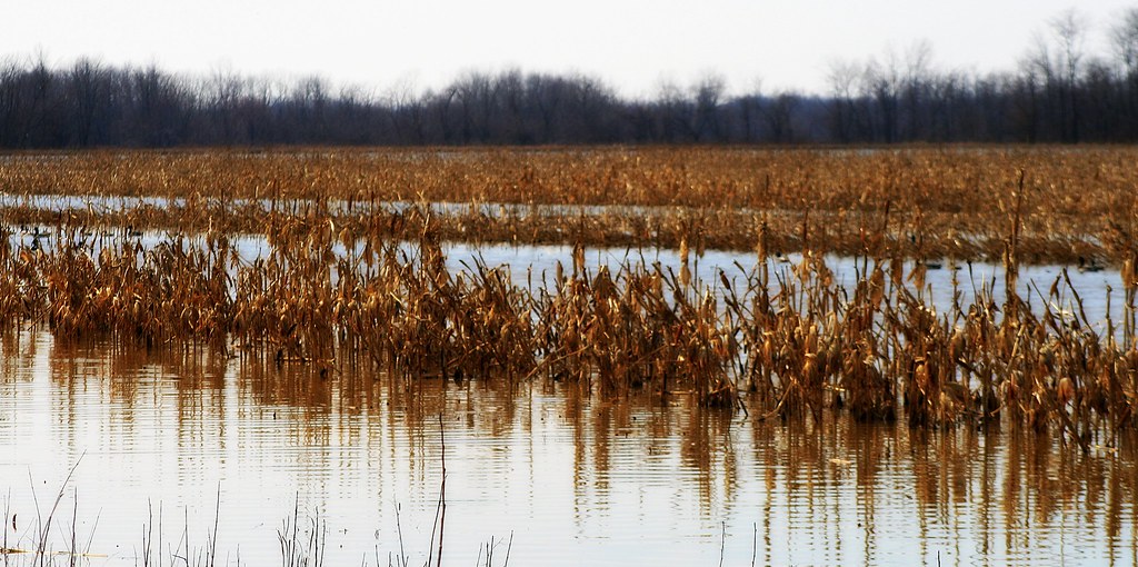
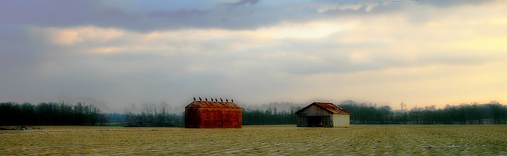
Impressions of a Farm
morning trees sky sun clouds sunrise geotagged twilight pod 5 kentucky earlymorning silhouettes rays pow industrialpark sunrays ohioriver westernkentucky ohiorivervalley goldenmix hendersonkentucky ohiorivercity hendersoncountykentucky 1on1sunrisesunsetsphotooftheweek “wonderfulworldmix” 1on1sunrisesunsetsphotooftheweekseptember2007 hendersonriverfront stateroad137 suncolumns hendersonairport geo:lat=37802596 geo:lon=87651286 jasonpresser 11223344556677
The Coming Storm
kentucky henderson johnjamesaudubonstatepark
Back Country Trail
square squareformat earlybird iphoneography instagramapp uploaded:by=instagram
14:12&1100 #parque #otoño
kentucky henderson johnjamesaudubonstatepark
Kentucky Coffee Tree Trail
geotagged geo:lat=37804257 geo:lon=87666875
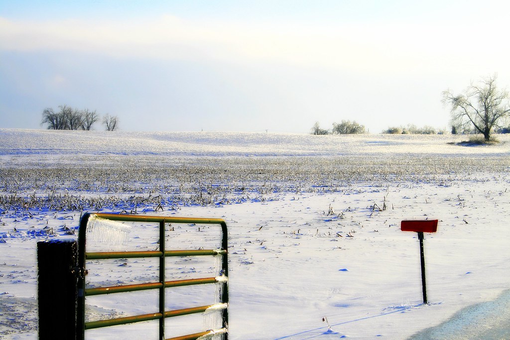
Down on the Farm (frozen)
geotagged picnik geo:lat=37803003 geo:lon=87667379
Light & Shadow Down on the Farm
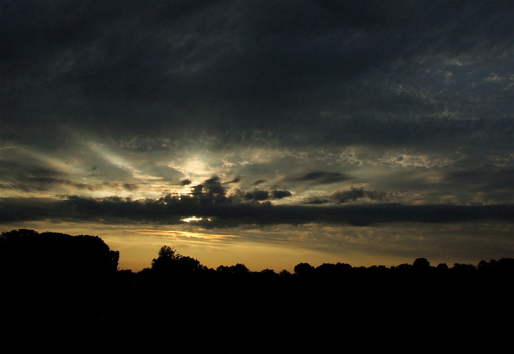
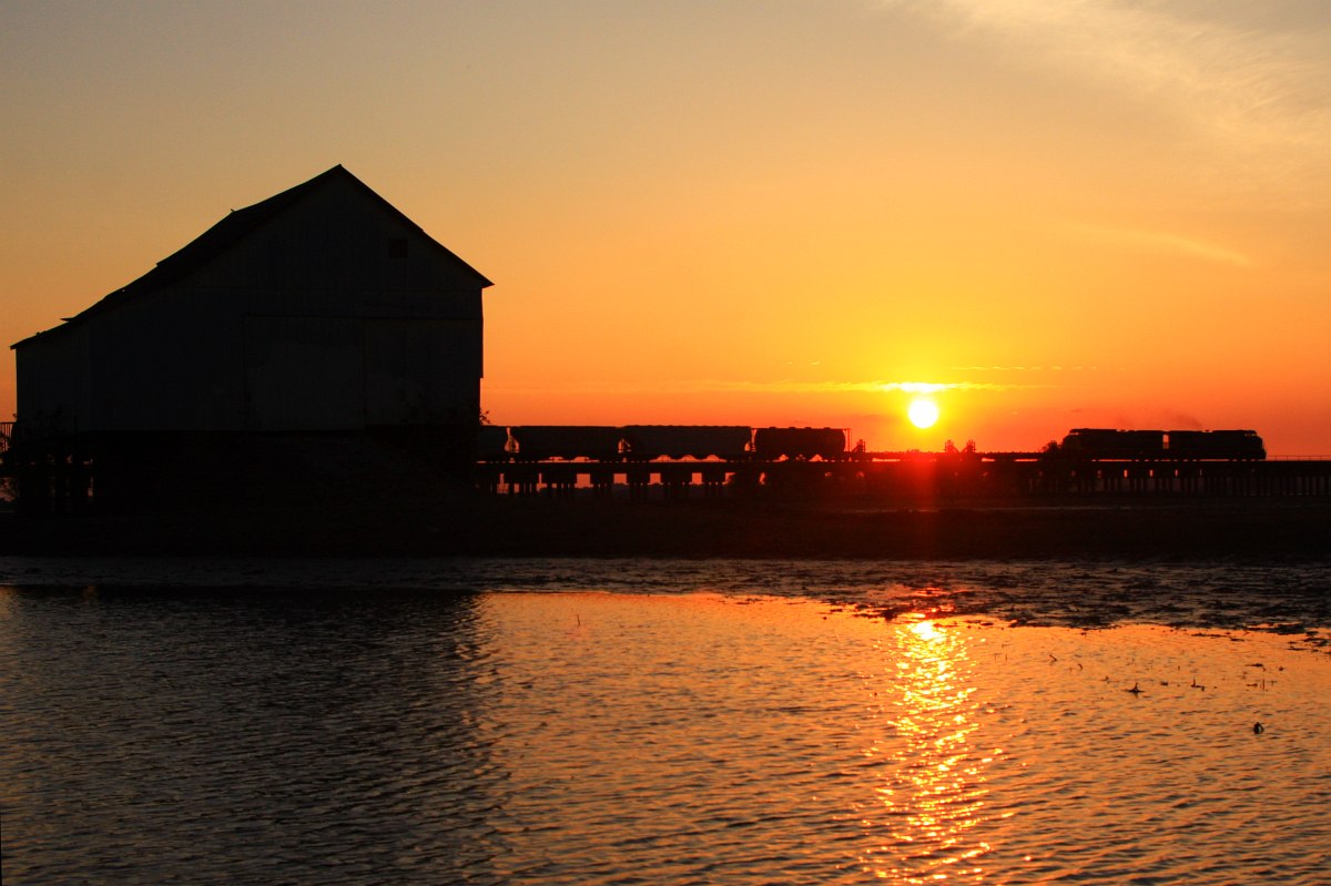
Dusk on the Ohio River at Henderson, KY
henderson audobonpark
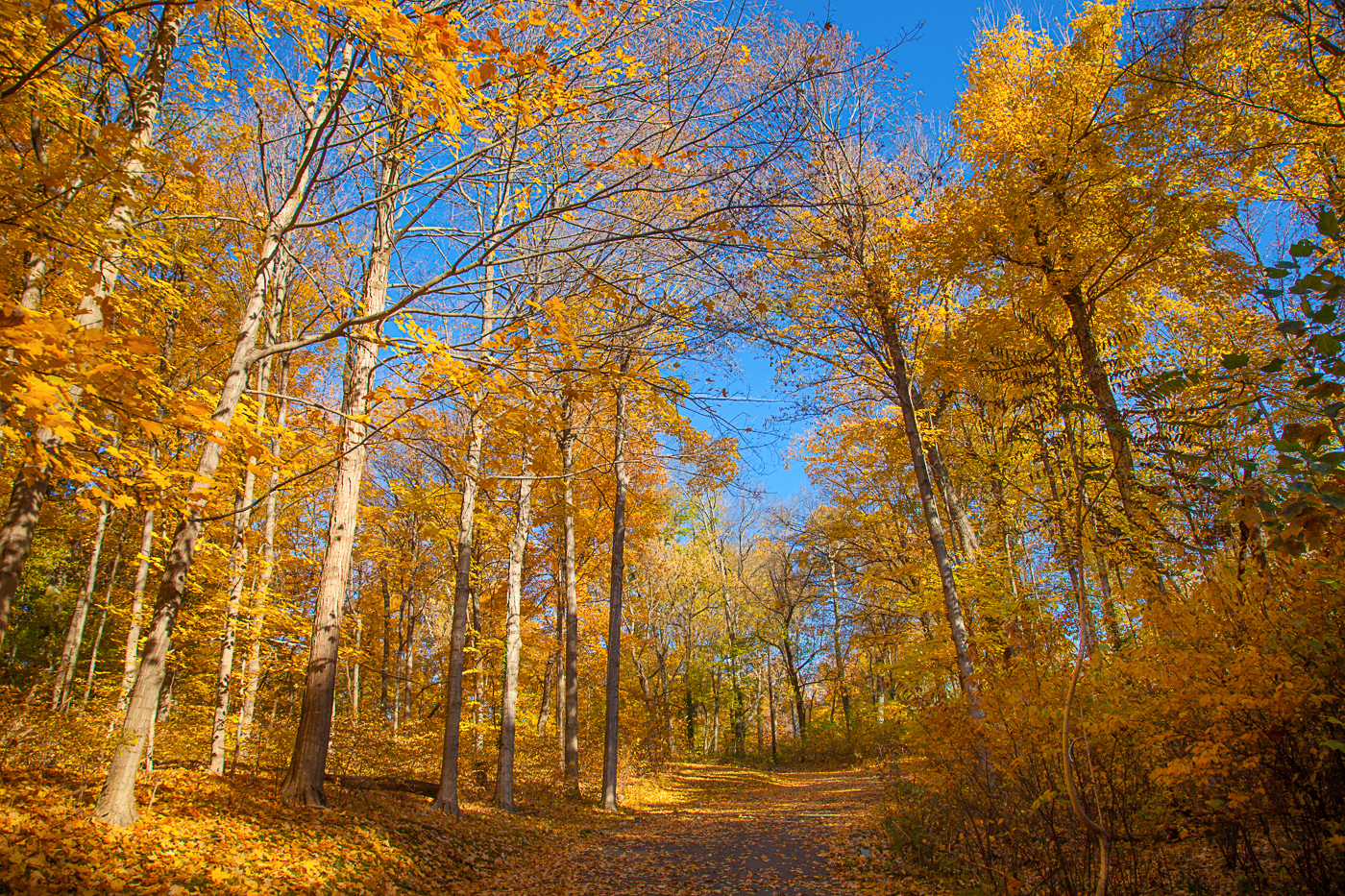
Fall Color Audobon Park
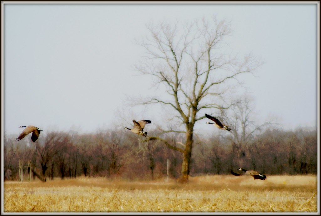
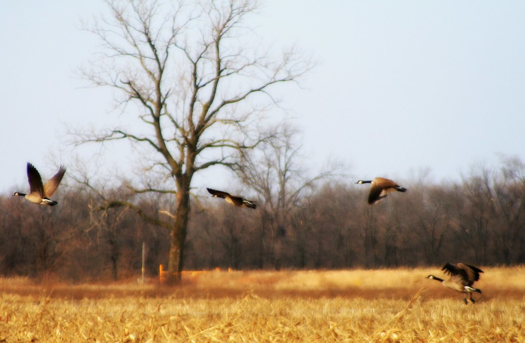
trees bird field birds rural geotagged flying geese inflight wings award waterbird aves goose ave watershed letterbox treeline invite waterbirds wildliferefuge cinemascope awarded harvestedfield floodplane avianphotography betterthangood sloughswildliferefuge geo:lat=37845986 geo:lon=87698836 bestofformyspacestation
Geese in Flight III
square squareformat normal iphoneography instagramapp uploaded:by=instagram foursquare:venue=4e19bc486284ea724704a4c1
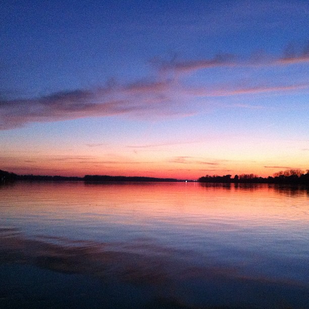
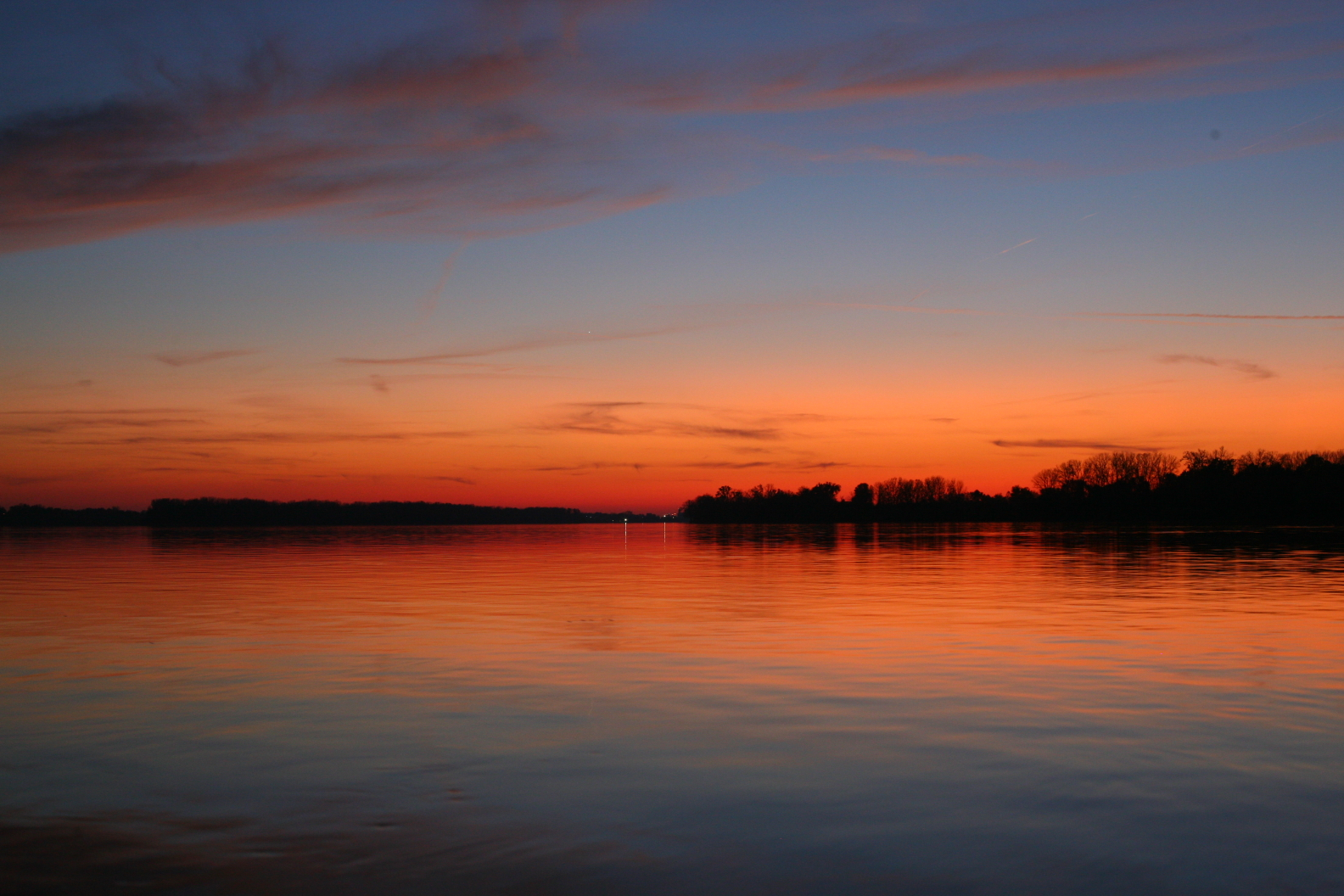
Ohio river at sunset in Henderson, KY from iPhone.
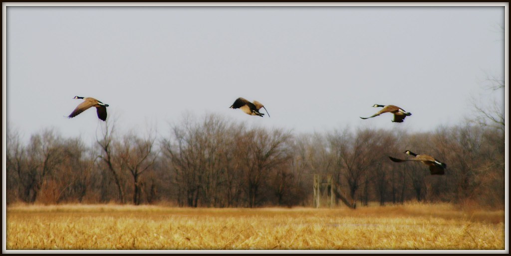
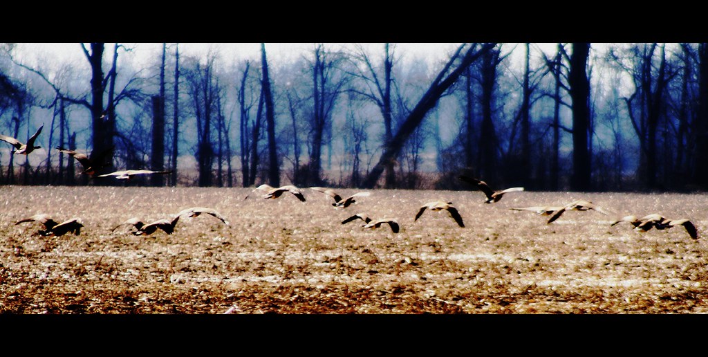
trees bird field birds rural geotagged flying geese inflight wings award waterbird aves goose ave watershed letterbox treeline invite waterbirds wildliferefuge cinemascope awarded harvestedfield floodplane avianphotography betterthangood sloughswildliferefuge geo:lat=37845986 geo:lon=87696776 bestofformyspacestation
Geese in Flight II
timelapse henderson
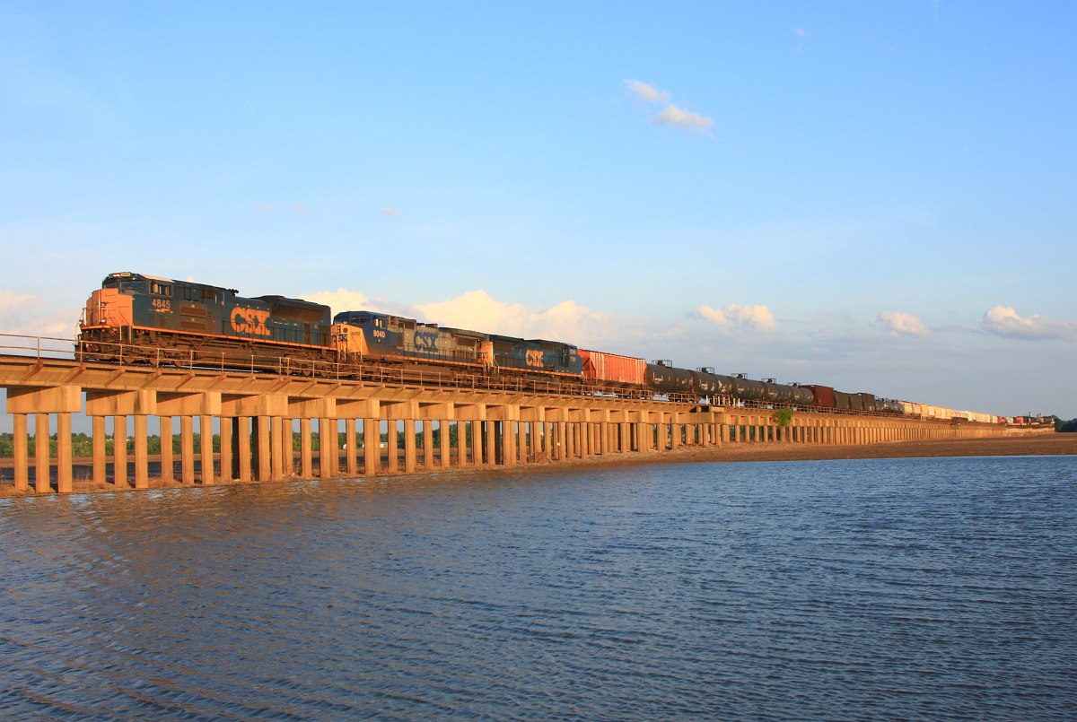
Henderson Timelapse - Two trains in 45 seconds
Eastern Screech Owl (Missing an Eye)
train indiana locomotive csx rahm c408w csxq588 csxhendersonsub csxt7720
Rahm Silhouette
trees bird field birds rural geotagged flying geese inflight wings award waterbird aves goose ave watershed letterbox treeline invite waterbirds wildliferefuge cinemascope awarded harvestedfield floodplane avianphotography betterthangood sloughswildliferefuge geo:lat=37846393 geo:lon=87699265 bestofformyspacestation
Taking Flight
trees reflection water fauna geotagged corn flora kentucky watershed wildliferefuge waterreflection flooded westernkentucky floodplane ruralkentucky hendersoncountykentucky waterfowlrefuge genevakentucky sloughswildliferefuge geo:lat=3784646 geo:lon=87698708
Reflections in the Refuge
silos grainery bar tinroof tinbuilding openfield field country countryside furrowed snow agriculturalarea trees rural farmland farm clouds cloudy cloudyday cloudyskies coldwinterday ruralkentucky smithmillskentucky hendersoncountykentucky westernkentucky ohiorivervalley rivervalley flatland valley kentucky thebluegrass thecommonwealthofkentucky picnik geo:lat=37808326 geo:lon=87727268 geotagged
Down on the Farm
trees snow field clouds rural geotagged countryside cloudy farm kentucky country farmland valley silos picnik tinroof grainery rivervalley furrowed flatland westernkentucky openfield cloudyday cloudyskies tinbuilding ohiorivervalley coldwinterday ruralkentucky geo:lat=37808835 smithmillskentucky hendersoncountykentucky agriculturalarea thecommonwealthofkentucky thebluegrass geo:lon=87725766
Resting for the Winter
friends sunset sky sun tree silhouette clouds rural geotagged countryside skies farm framed farmland treeline backroad picnik countryroad topic cloudysky westernkentucky beautifulearth colourfulsky withsky ruralkentucky naturephotographs skytheme flickraward hendersoncountykentucky naturewatcher bestsunriseandsunset naturessilhouettes thebluegrassstate landscapesdreams colourvisions qualitypixels skyascanvas geo:lat=37802731 frommylens geo:lon=87667294 commowealthofkentucky
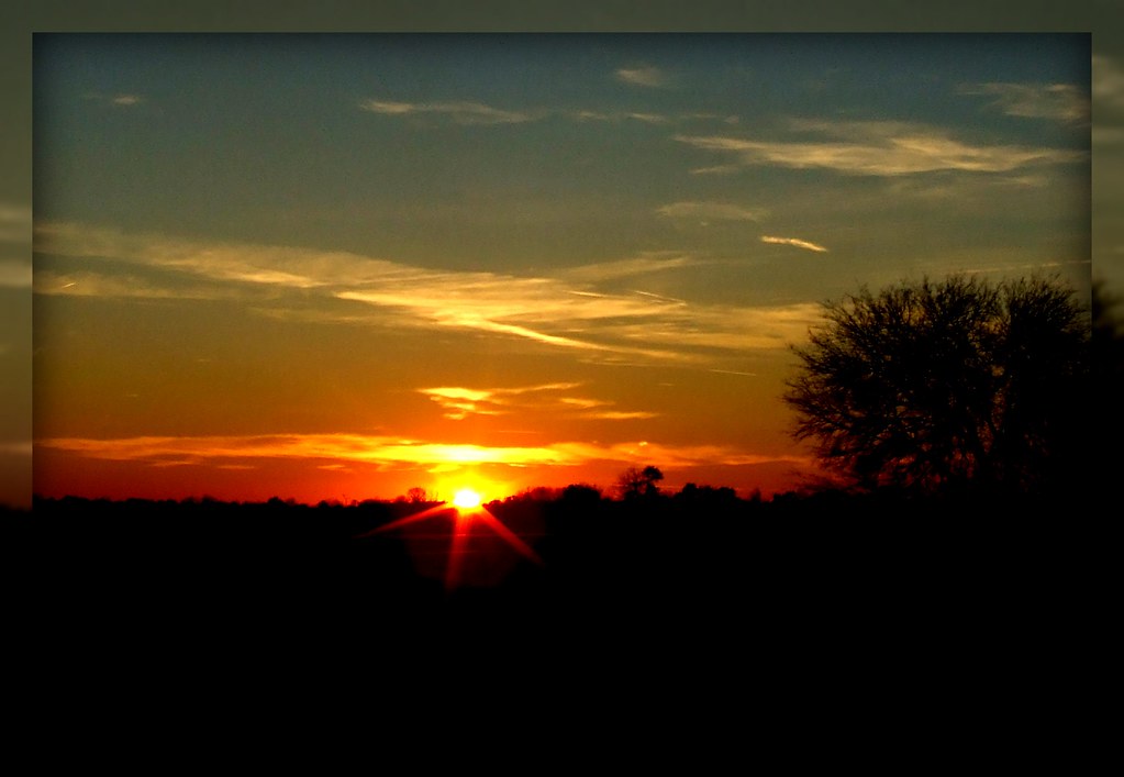
Sunset in Henderson County II
trees bird field birds rural geotagged flying geese inflight wings kentucky award waterbird aves goose ave watershed letterbox treeline invite waterbirds rivervalley wildliferefuge westernkentucky cinemascope riverbottoms awarded ohioriverbottoms ohiorivervalley harvestedfield floodplane avianphotography ruralkentucky hendersoncountykentucky betterthangood protectedlands waterfowlrefuge genevakentucky nativekentuckyflora sloughswildliferefuge nativekentuckyfauna geo:lon=87698278 geo:lat=37841106 bestofformyspacestation
Flying Under the Radar
train indiana locomotive csx rahm sd70ace csxq588 csxhendersonsub csxt4845
Nice ACe