Elevation of North Negley Road, N Negley Rd, Kentucky, USA

Location: United States > Kentucky > Henderson County > Henderson >

Longitude: -87.449168

Latitude: 37.7825565

Elevation: -10000m / -32808feet

Barometric Pressure: 295KPa

Elevation Map:

elevation map of North Negley Road, N Negley Rd, Kentucky, USA

Satellite Map:

Satellite map of North Negley Road, N Negley Rd, Kentucky, USA

Related Photos:

rainbow endoftherainbow bypass trees fields soybeanfields farmland farms hendersoncountykentucky hendersonkentucky westernkentucky kentucky ohiorivervalley storms weatherphotography severeweather cloudyskies clouds badweather rainbows buiilding geo:lat=37791049 geo:lon=87574532 geotagged gününeniyisithebestofday flickraward royalgroup naturesart bbe photographyrocks 1on1colorfulphotooftheweek 1on1colorfulphotooftheweekoctober2010 yextkentucky
The End of the Rainbow
railroad rural geotagged graffiti moving crossing kentucky tag tracks railway tags aves tagged stamp explore railcar rails buff boxcar graff graphiti g3 2008 rolling stamped dme gravel 08 railroadcrossing inmotion buffed itd trainart westernkentucky paintedtrain railart endtoend spek speke spraypaintart cantsee ohiorivervalley sr136 5753 edgeoftown end2end paintedsteel hendersonkentucky boxcarart vidt hendersoncountykentucky taggedboxcar paintedboxcar stateroad136 ⓣ paintedrailcar taggedrailcar geo:lat=37805923 geo:lon=8757598 exploreformyspacestation trainsformyspacestation
Aves Ⓣ Spek
sunlight storm clouds geotagged rainbow ditch cloudy kentucky farmland fields farms thunderstorm rainbows doublerainbow bypass cloudysky thunderstorms severeweather westernkentucky stormyskies ohiorivervalley hendersonkentucky hendersoncountykentucky soybeanfields geo:lon=87572064 geo:lat=37790354
The Second Rainbow
old trees shadow sunlight brick stone river geotagged downtown kentucky brush structure shade riverfront highwater banks picnik ohioriver riverbanks unused underbrush boatramp westernkentucky mortor roughwater ohioriverbottoms ohiorivervalley hendersonkentucky downtownhenderson hendersoncountykentucky hendersonriverfront thecommonwealthofkentucky hendersonboatramp thebluegrass geo:lat=37844609 geo:lon=8759286 windycoldwinterday historicdowntownhenderson hendersonriverfrontpark
The Last Part of an Old Bridge...
geotagged geo:lon=87592745 geo:lat=37842387
Looking Out Over the River
geotagged geo:lat=37891518 geo:lon=87546701
Sign on a Country Road
geotagged geo:lat=37842451 geo:lon=87592699
....
trees bird field birds geotagged geese wings waterbird aves goose ave watershed treeline waterbirds wildliferefuge floodplane avianphotography geo:lat=37898562 geo:lon=87547216
....
trees sun sunlight hat statue bronze clouds geotagged 10 5 kentucky platform silhouettes bluesky evergreen harmony ccc limbs ax onwhite picnik fdr onblack westernkentucky historicalplaces ohiorivervalley 5faves 10faves sunsunsun audubonstatepark twtme thedepression withsky viewonblack hendersonkentucky commonwealthofkentucky kentuckystatepark ohiorivercity flickrhearts theworker historyisallaroundus zerofaves globalvillage2 heartawards johnjamesaudubonpark hendersoncountykentucky platinumheartaward thebluegrassstate viewonwhite historyantiquities qualitypixels skyascanvas photographersgonewild flickrpopularphotographer theskytheme stateparkandrecreationarea thecccboysofcampcromwellcompany1540 19331942 dedicated2005 johnjamesaudubonmuseum geo:lat=37879799 geo:lon=87560692 thecivilianconservationcorps investmentinamerica whatweneedtoday theskyasacanvas ourkentucky
**
geotagged geo:lon=87546272 geo:lat=37895853
A B/W Curl/Twist
road trees rain weather clouds fence geotagged chains rainbow weeds rainyday ditch farm kentucky rusty windy farmland fields thunderstorm rainbows bushes bypass downpour stormyweather drenched severeweather westernkentucky heavyrain oldfence cloudyday endoftherainbow woodenpost soybeanfield ohiorivervalley openfields doublerainbows severethunderstorm weatherphotography hendersonkentucky hendersoncountykentucky platinumheartaward cloudslightningstorms hendersonbypass geo:lat=37787878 geo:lon=8758908 edgeofstorm
Looking Up at a Double Rainbow
plant flower green geotagged weed dof purple bokeh kentucky thistle depthoffield westernkentucky floweringplant prieststreet purplethistle ohiorivervalley hendersonkentucky hendersoncountykentucky geo:lat=37835149 geo:lon=87572247 hhstreet
..
railroad art cat skull graffiti streak kentucky ky tag graf tracks railway tags tagged railcar taco rails boxcar ladder xxx graff graphiti streaks trainyard bookman trainart bta rollingstock westernkentucky paintedtrain freightyard railart flyingskull spraypaintart monikers readmorebooks moniker reflectivetape ohiorivervalley hendersonky movingart dgf taggedtrain skullwithwings hendersonkentucky boxcarart stackabones headwithwings hendersoncountykentucky icecramcone taggedboxcar paintedboxcar sofserv paintedrailcar taggedrailcar bongwaterbilly artbombs ridinthelinehigh alsomoreevil
BongWater Billy, Read More Books, Sof Serv, Taco and others
railroad autumn overgrown field rural geotagged countryside weeds tracks indiana railway bluesky farmland southernindiana rails railroadbridge clearsky rivervalley sunnyday openfield riverbottoms elevatedtracks ohiorivervalley ruralindiana elevatedrailroad elevatedrails ruralkentucky vanderburghcountyindiana indianakentuckystateline geo:lat=37848854 geo:lon=87604578 piellon hendersonrailroadbridge vanderburghcountyriverbottoms acrosstheriverfromhendersonkentucky rahmindiana rahmriverbottoms
Elevated Track in the River Bottoms II
geotagged geo:lat=37820497 geo:lon=87544985
...
geotagged geo:lat=37892873 geo:lon=87550735
Coming to Life
trees plant macro water geotagged spiral dof bokeh kentucky vine depthoffield swamp curl treeline westernkentucky sloughs ohioriverbottoms ohiorivervalley tristatearea hendersonkentucky hendersoncountykentucky thebluegrassstate johnjamesaudubonstatepark geo:lat=3789653 geo:lon=87546101 cyprustreeswamp
..
geotagged geo:lat=37842458 geo:lon=8759269
....
trees sun silhouette clouds geotagged cloudy bluesky sunrays cloudysky orton partlycloudy cloudyday partlysunny cloudyskies suncolumns geo:lat=37790184 geo:lon=87582965
Partly Sunny
trees sunset summer sky sun clouds rural geotagged kentucky bluesky farmland summertime westernkentucky blueribbonwinner summersunset hendersoncountykentucky geo:lat=37845444 geo:lon=87366972 corydonkentucky bestofformyspacestation
Brush Strokes And Silhouettes V
statepark bird nature field grass leaves geotagged dof bokeh hawk kentucky branches depthoffield ave watershed prey limbs ohioriver birdofprey wildliferefuge naturephotography westernkentucky predation ohioriverbottoms ohiorivervalley avianphotography hendersoncountykentucky kentuckynature waterfowlrefuge thebluegrassstate kentuckybird floodedfields johnjamesaudubonstatepark thecommonwealthofkentucky kentuckyfauna woodstransitionzone geo:lat=37892873 geo:lon=87552538
A Dismissive Look
statepark trees tree nature water geotagged bluewater bridges brush watershed backwaters marshland ohioriver twinbridges cyprustree ohiorivervalley scrubbrush floodplane hendersonkentucky natureperserve hendersoncountykentucky kentuckynature johnjamesaudubonstatepark wildlifeperserve cyprusstrees geo:lat=37897343 geo:lon=87547731 ohoriverbottoms waterfowlenviroment
River Bottoms Landscape
bridge water river kentucky henderson ohioriver hendersoncounty
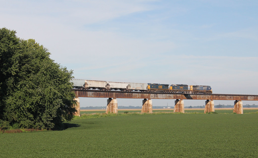
Henderson Railroad Bridge
park bench geotagged concrete downtown landscaping kentucky seat riverfront benches onwhite ohioriver onblack westernkentucky riverbottoms ohioriverbottoms ohiorivervalley viewonblack hendersonkentucky downtownhenderson hendersoncountykentucky viewonwhite riveroverlook historicdowntownhenderson hendersonriverfrontpark audubonmillpark geo:lat=37842296 geo:lon=87592833
Henderson Riverfront Park
henderson audobonpark
Fall Color Audobon Park
Dusk on the Ohio River at Henderson, KY
timelapse henderson
Henderson Timelapse - Two trains in 45 seconds
kentucky henderson johnjamesaudubonstatepark
Kentucky Coffee Tree Trail
winter friends fab bw sun sunlight cold leaves geotagged leaf bush berry december berries dof bokeh landscaping kentucky holly fabulous shiningstar picnik naturesbest wildliferefuge welcomecenter selectivecolor selectivecolour smörgåsbord westernkentucky postprocessing hollybush naturesart ohiorivervalley closerandclosermacrophotography thinkgreen macrolicious audubonstatepark graytone bokehlicious hendersonkentucky seenability commonwealthofkentucky nomore1word ohiorivercity digitaleeanalogico flickrawards flickrgreen hendersoncountykentucky goldstaraward thebluegrassstate checkoutmynewpics johnjamesaudubonstatepark selectivecoloraward showmemagic johnjamesaudubonmuseum geo:lat=3788217 geo:lon=87558718
Turning Gray....
kentucky henderson johnjamesaudubonstatepark
Road In Colorless Fall
square squareformat normal iphoneography instagramapp uploaded:by=instagram foursquare:venue=4e19bc486284ea724704a4c1
Ohio river at sunset in Henderson, KY from iPhone.
kentucky greenriver daviesscounty hamiltonferry hambletonferry
Green River
railroad art graffiti kentucky ky tag graf tracks railway tags tagged railcar rails parked graff graphiti trainyard trainart rollingstock westernkentucky paintedtrain freightyard railart spraypaintart ohiorivervalley hendersonky movingart taggedtrain hendersonkentucky siderails hendersoncountykentucky westernky taggedboxcar paintedboxcar csxtrainyard paintedrailcar taggedrailcar smalltrainyard artbombs smallfreightyard
Forgotten Rails
bridge trees sky clouds geotagged kentucky bridges roads ohioriver westernkentucky metalbridge us41 highway41 ohioriverbottoms ohiorivervalley hendersoncountykentucky kentuckyindianastateline geo:lon=87552023 geo:lat=37901813
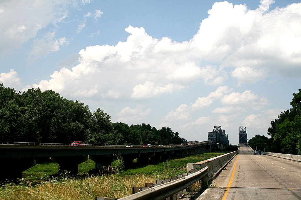
Twin Bridges Over the Ohio River
train sunrise
Sunrise from a viaduct with train
WGRF #135C
riverboats
Safety Convent 7-21-2013
WGRF #135A
kentucky tobacco owensboro
Dark Tobacco
square squareformat iphoneography instagramapp uploaded:by=instagram
Hiking.
railroad bridge train kentucky ky overcast rr henderson ohioriver csx
Henderson RR Bridge
In the Cold Kentucky Rain