Elevation map of Rajshahi Division, Bangladesh
Location: Bangladesh >
Longitude: 88.9413865
Latitude: 24.7105776
Elevation: 14m / 46feet
Barometric Pressure: 101KPa
Elevation Map:
Satellite Map:
Related Photos:

Towards-light-sm-aurnob
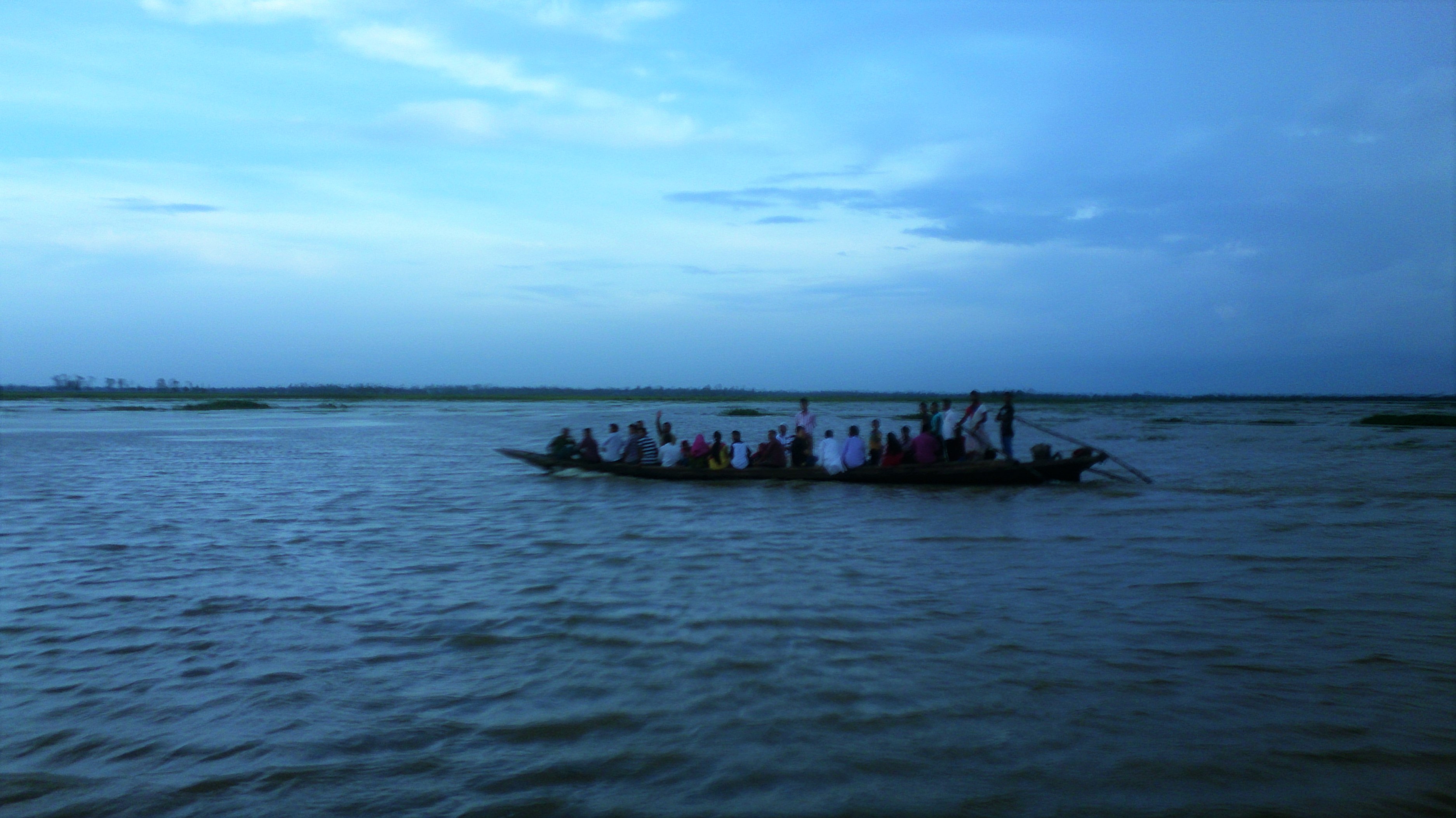
boat-sm-aurnob
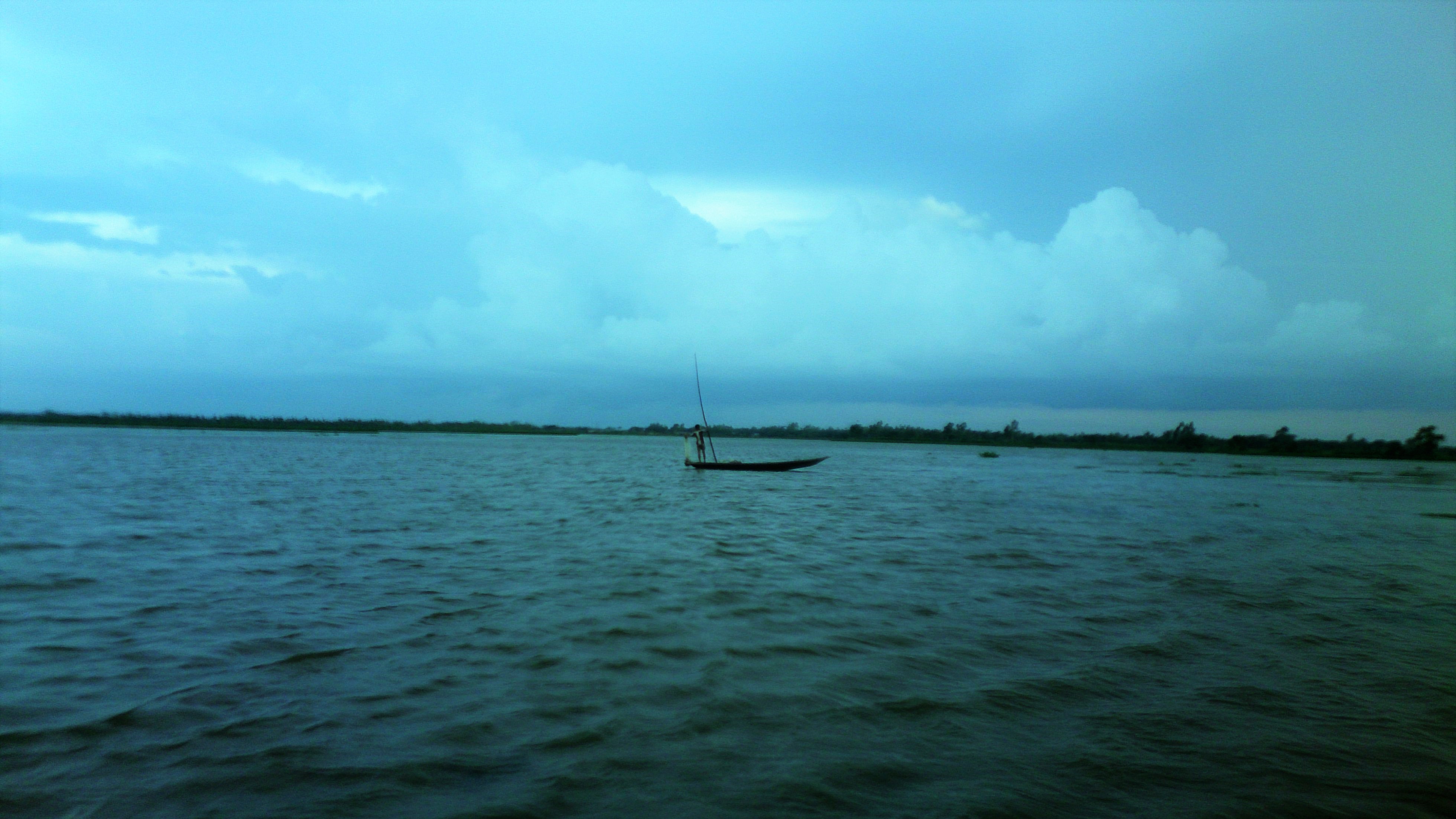
Fisherman-boat-sm-aurnob
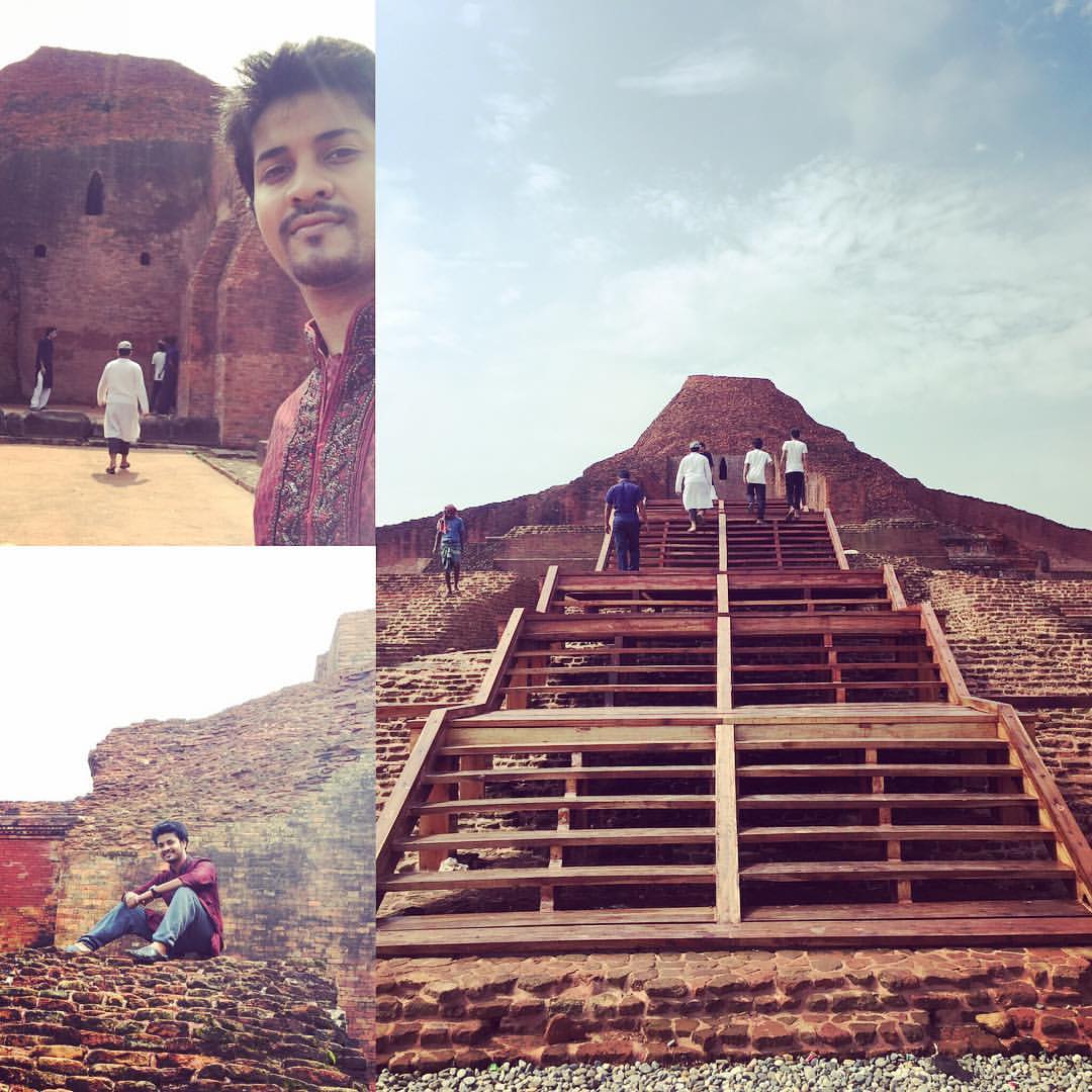
#discoveringbangladesh #bangladesh #history #ancient #traveling #paharpur_boudho_bihar #paharpur #heritagebangladesh

sitting alone
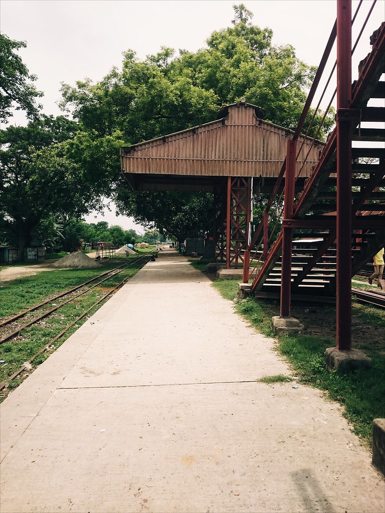
Rail Station
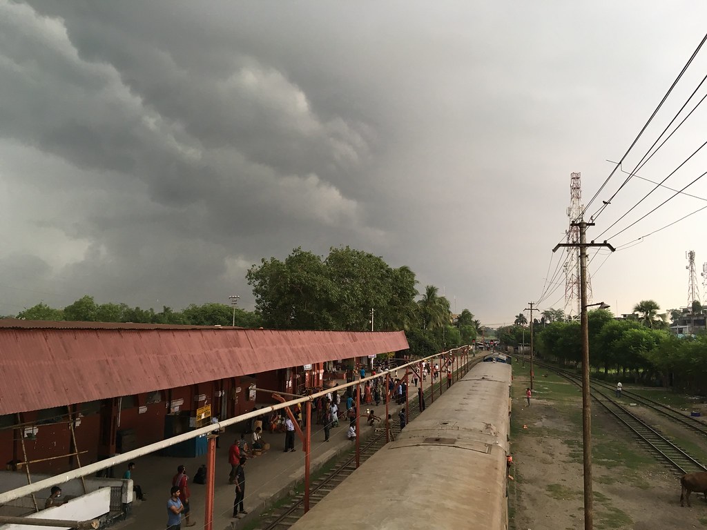
Before the storm

someone #jump from #tree #naogaon #jumpfrom tree #pond #village #Bangladesh
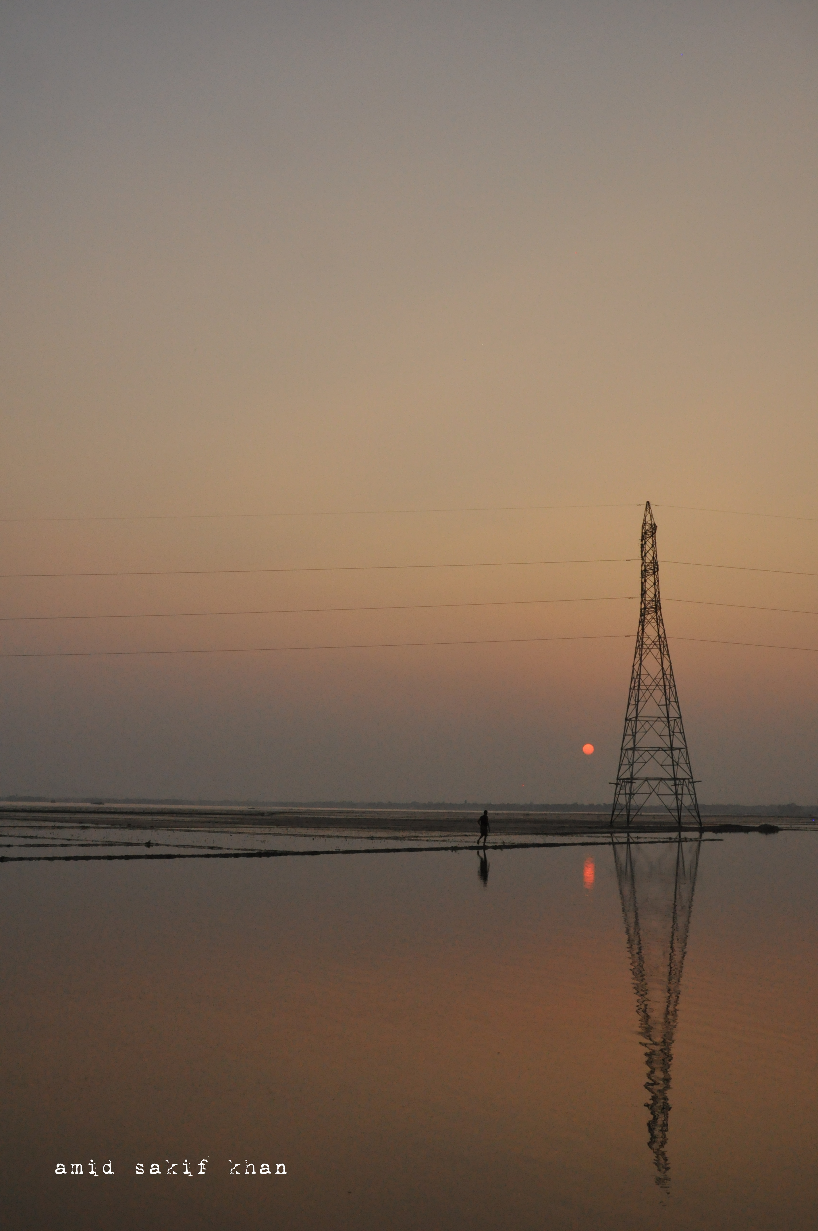
walking to the end...
Topographic Map of Rajshahi Division, Bangladesh
Find elevation by address:

Places in Rajshahi Division, Bangladesh:
Sirajganj District
Chapainawabganj District
Naogaon District
Pabna District
Natore District
Jaipurhat District
Places near Rajshahi Division, Bangladesh:
Naogaon District
Natore
Natore District
Jaipurhat District
Bogra District
Bogra
Rajshahi
Rajshahi District
Hakimpur
Hakimpur Upazila
Ishwardi
Bheramara Upazila
Gobindaganj Upazila
Ghoraghat Upazila
Nalua
Nolua Bazar
Ishwardi Upazila
Hatikumrul
Aristocrat
Palashbari Upazila
Recent Searches:
- Elevation of Corso Fratelli Cairoli, 35, Macerata MC, Italy
- Elevation of Tallevast Rd, Sarasota, FL, USA
- Elevation of 4th St E, Sonoma, CA, USA
- Elevation of Black Hollow Rd, Pennsdale, PA, USA
- Elevation of Oakland Ave, Williamsport, PA, USA
- Elevation of Pedrógão Grande, Portugal
- Elevation of Klee Dr, Martinsburg, WV, USA
- Elevation of Via Roma, Pieranica CR, Italy
- Elevation of Tavkvetili Mountain, Georgia
- Elevation of Hartfords Bluff Cir, Mt Pleasant, SC, USA