Elevation of Jaipurhat District, Bangladesh
Location: Bangladesh > Rajshahi Division >
Longitude: 89.0944937
Latitude: 25.0947349
Elevation: 24m / 79feet
Barometric Pressure: 101KPa
Elevation Map:
Satellite Map:
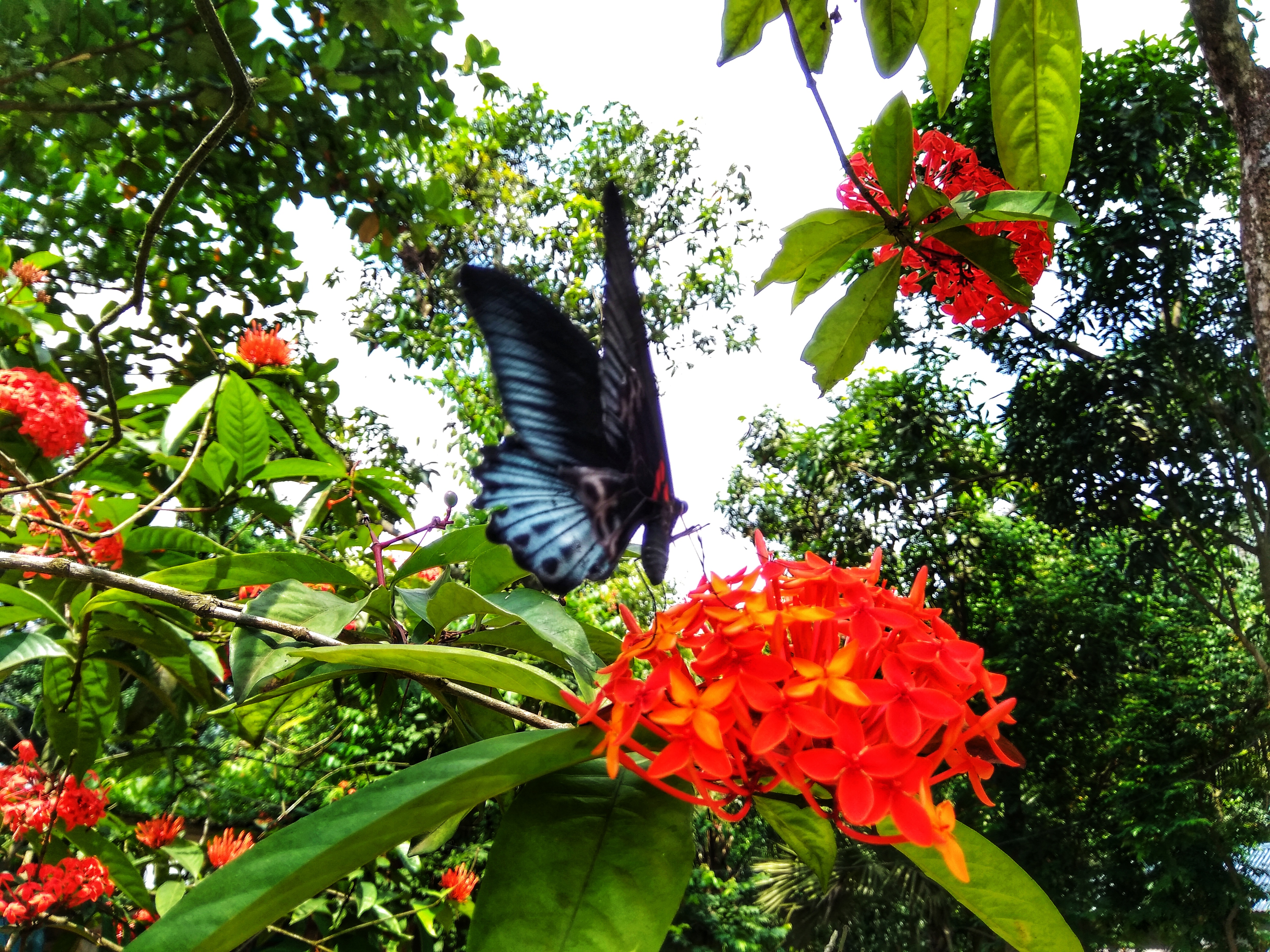
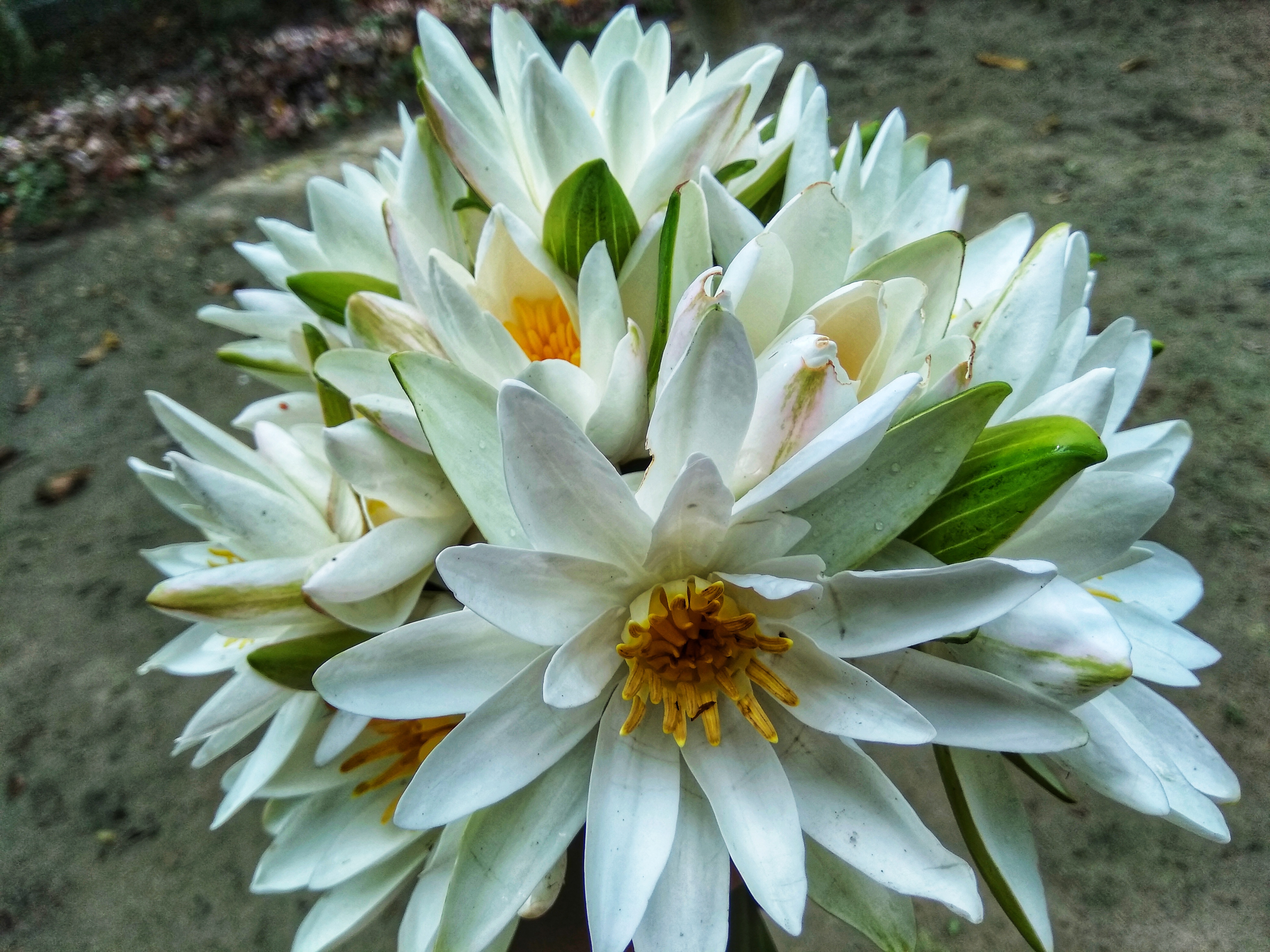
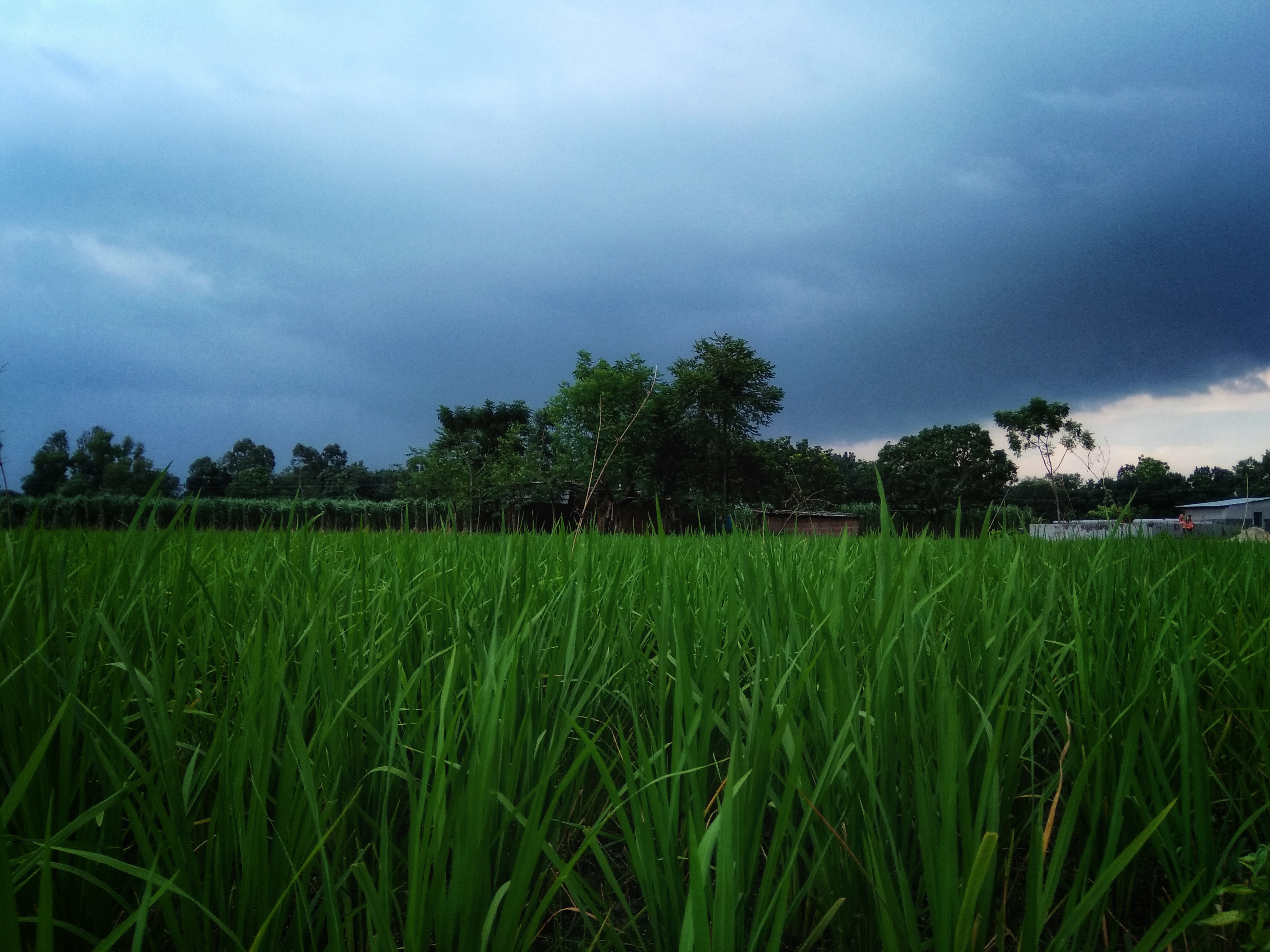
Related Photos:
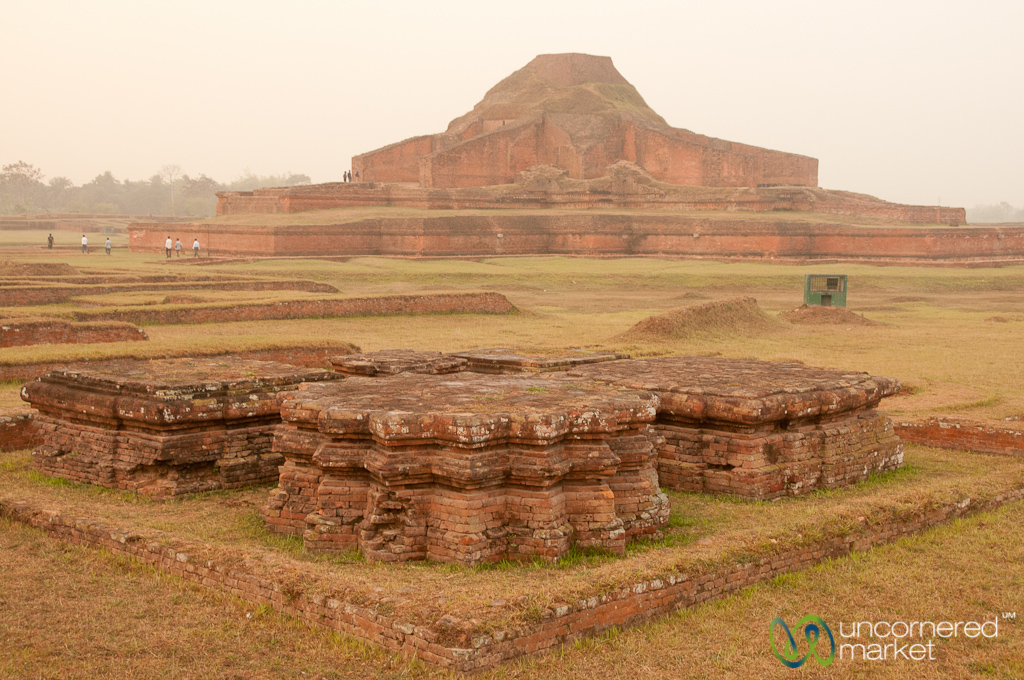
Stupendous view
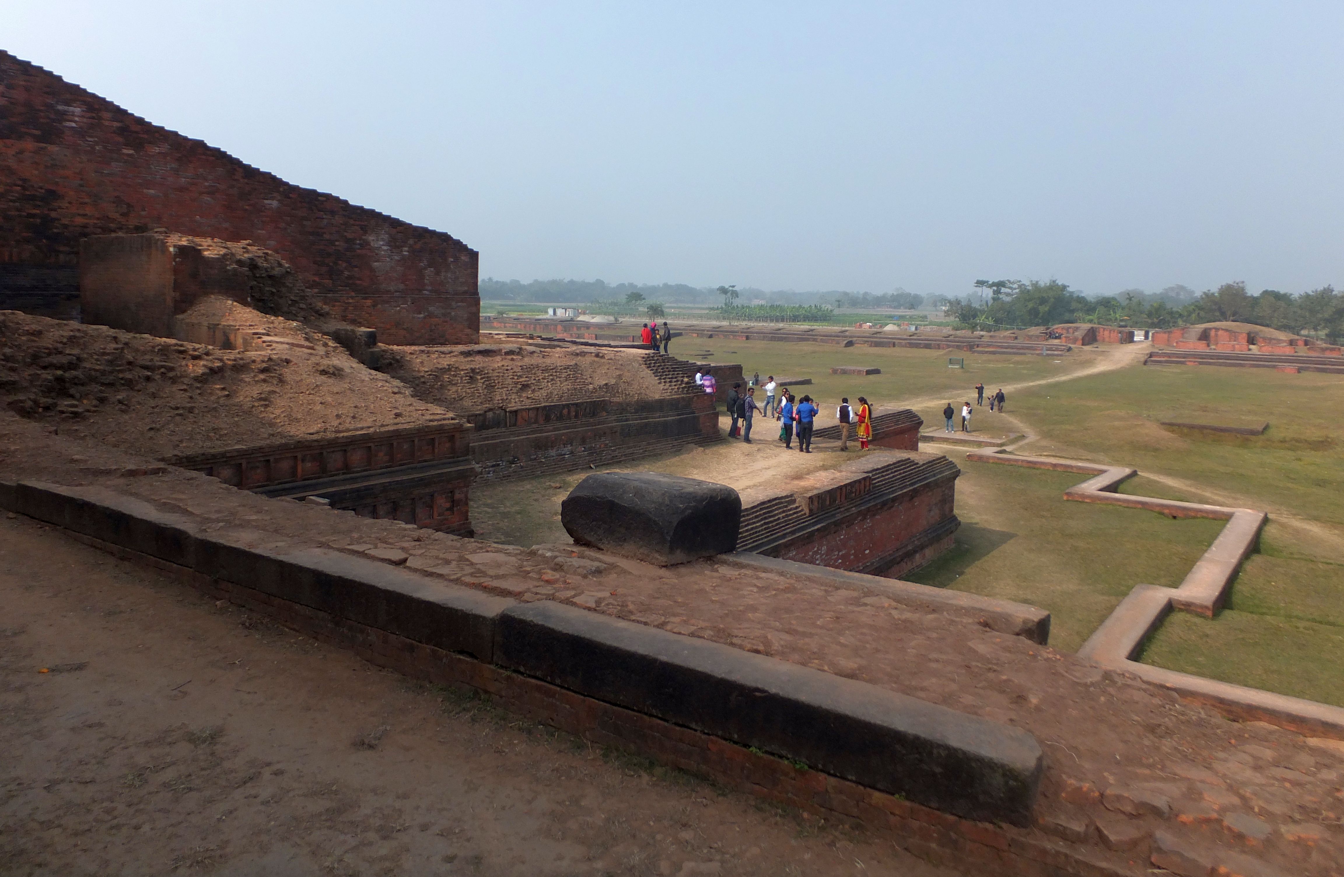
Paharpur Buddhist Monastery - Bangladesh

2018-04-23_07-56-15

IMG_20180611_144308-01

IMG_20190409_142951-01

IMG_20190409_143224-01

IMG_20190205_123255-01

IMG_20190205_123650-01
IMG_20190205_123333-01

IMG_20190205_123958-01

IMG_20190205_123647-01

IMG_20190205_124723-01
IMG_20190205_124908-01

IMG_20190205_125038-01

IMG_20190205_125449-01

IMG_20190205_125009-01

2019-01-31_03-09-34

IMG_20180817_135442-01

IMG_20180818_180035-01

IMG_20180817_135447-01
IMG_20180817_135649-01
IMG_20180820_085726-01
IMG_20180819_171102-01
Topographic Map of Jaipurhat District, Bangladesh
Find elevation by address:

Places near Jaipurhat District, Bangladesh:
Hakimpur
Hakimpur Upazila
Ghoraghat Upazila
Gobindaganj Upazila
Palashbari Upazila
Bogra District
Bogra
Naogaon District
Rajshahi Division
Saghata Upazila
Fulchari Thana
Burail
Natore District
Jamalpur District
Natore
Kazipur Upazila
Hatikumrul
Aristocrat
Rajshahi
Sirajganj
Recent Searches:
- Elevation of Corso Fratelli Cairoli, 35, Macerata MC, Italy
- Elevation of Tallevast Rd, Sarasota, FL, USA
- Elevation of 4th St E, Sonoma, CA, USA
- Elevation of Black Hollow Rd, Pennsdale, PA, USA
- Elevation of Oakland Ave, Williamsport, PA, USA
- Elevation of Pedrógão Grande, Portugal
- Elevation of Klee Dr, Martinsburg, WV, USA
- Elevation of Via Roma, Pieranica CR, Italy
- Elevation of Tavkvetili Mountain, Georgia
- Elevation of Hartfords Bluff Cir, Mt Pleasant, SC, USA