Elevation of Gobindaganj Upazila, Bangladesh
Location: Bangladesh > Rangpur Division > Gaibandha District >
Longitude: 89.38691
Latitude: 25.1373337
Elevation: 23m / 75feet
Barometric Pressure: 101KPa
Elevation Map:
Satellite Map:
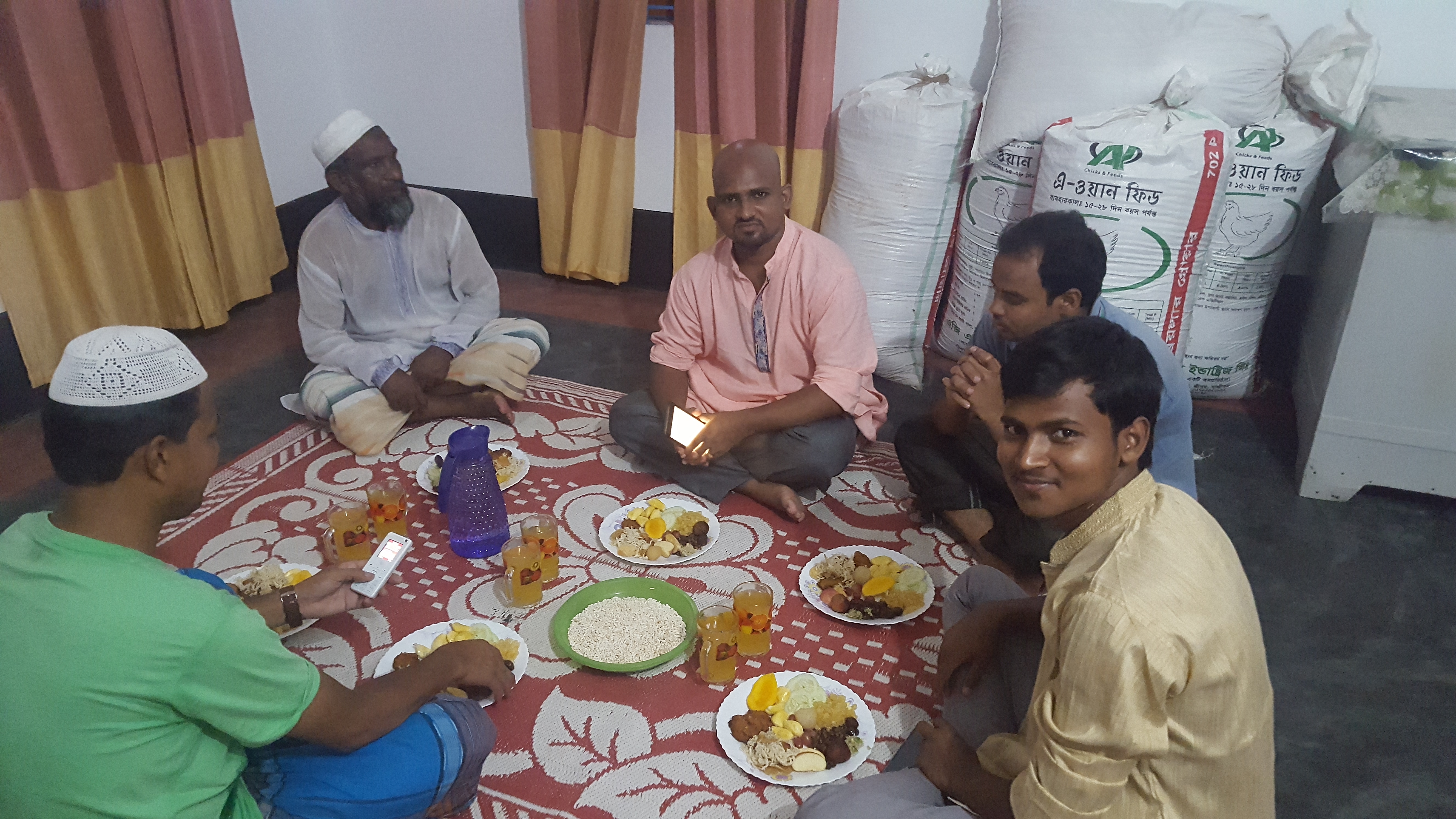
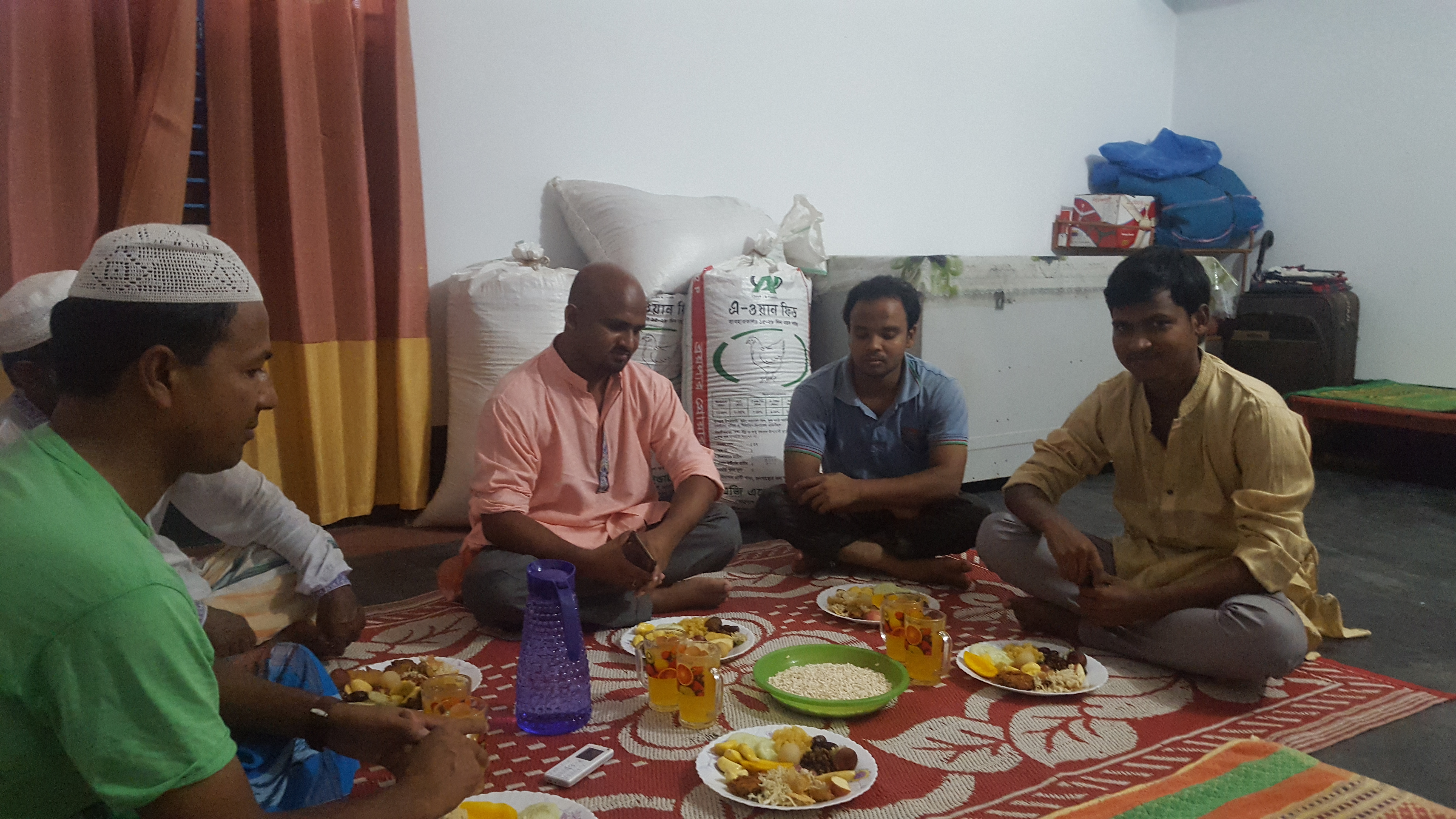
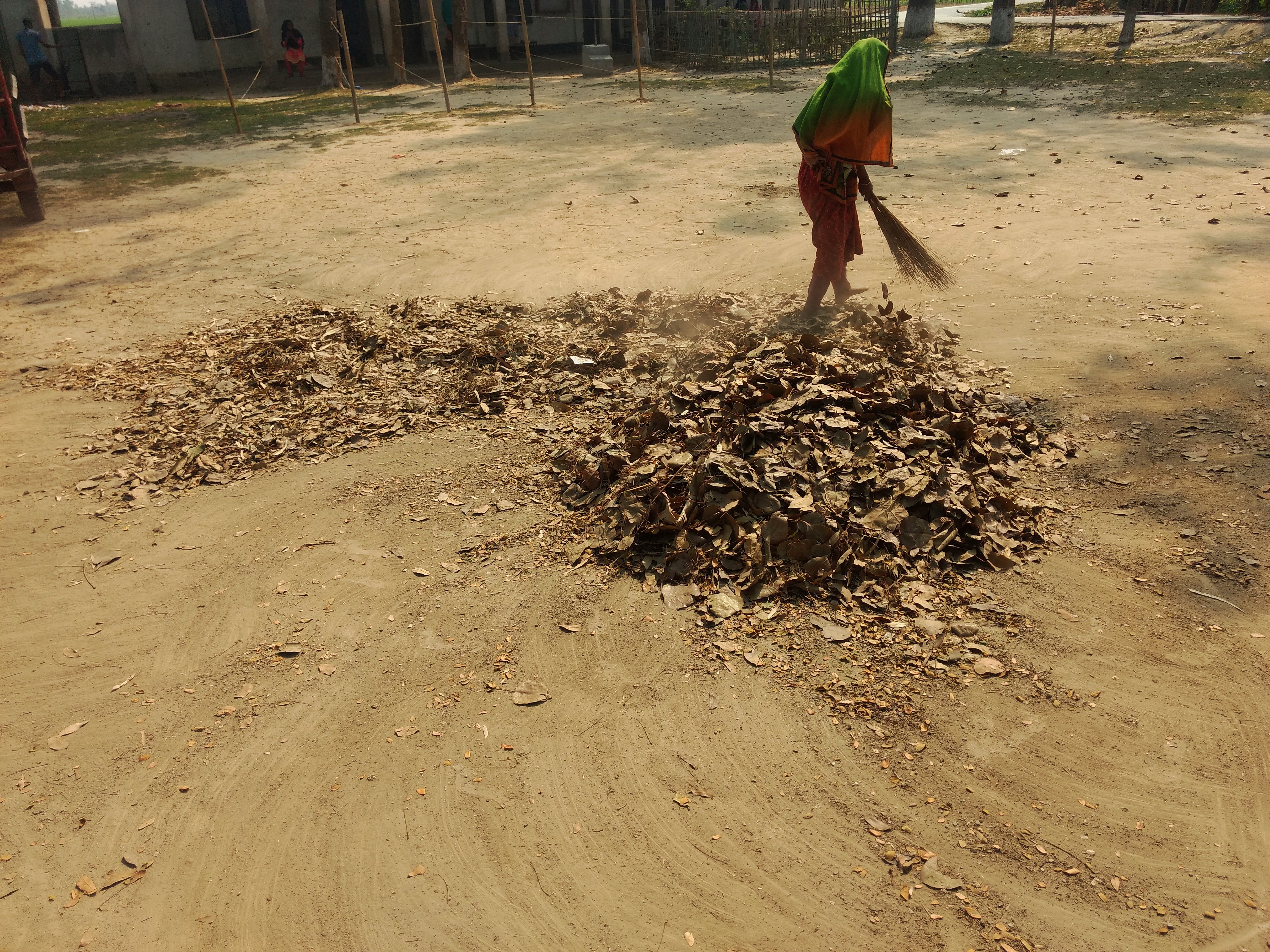
Related Photos:

ফড়িং

ফড়িং

2015-12-13_08-37-55

সরিষাফুল।

20180613_184347

20180613_184349

20180613_184355
20180613_184438

20180613_184446

20180613_184458
20180613_184512

IMG_20200515_043220_286
Untitled

20180613_172524

20180613_172530

20180613_172510

20180613_172513

20180613_172521

20180913_212856

20180913_212944

20180616_161105

20180616_161329

20180616_160559

20180616_160604

20180616_160631
Topographic Map of Gobindaganj Upazila, Bangladesh
Find elevation by address:

Places near Gobindaganj Upazila, Bangladesh:
Palashbari Upazila
Saghata Upazila
Fulchari Thana
Burail
Ghoraghat Upazila
Bogra District
Bogra
Jaipurhat District
Hakimpur
Hakimpur Upazila
Jamalpur District
Kazipur Upazila
Rajshahi Division
Naogaon District
Hatikumrul
Aristocrat
Sirajganj
Baazar Station
Sirajganj Railway Station
Road
Recent Searches:
- Elevation of Corso Fratelli Cairoli, 35, Macerata MC, Italy
- Elevation of Tallevast Rd, Sarasota, FL, USA
- Elevation of 4th St E, Sonoma, CA, USA
- Elevation of Black Hollow Rd, Pennsdale, PA, USA
- Elevation of Oakland Ave, Williamsport, PA, USA
- Elevation of Pedrógão Grande, Portugal
- Elevation of Klee Dr, Martinsburg, WV, USA
- Elevation of Via Roma, Pieranica CR, Italy
- Elevation of Tavkvetili Mountain, Georgia
- Elevation of Hartfords Bluff Cir, Mt Pleasant, SC, USA