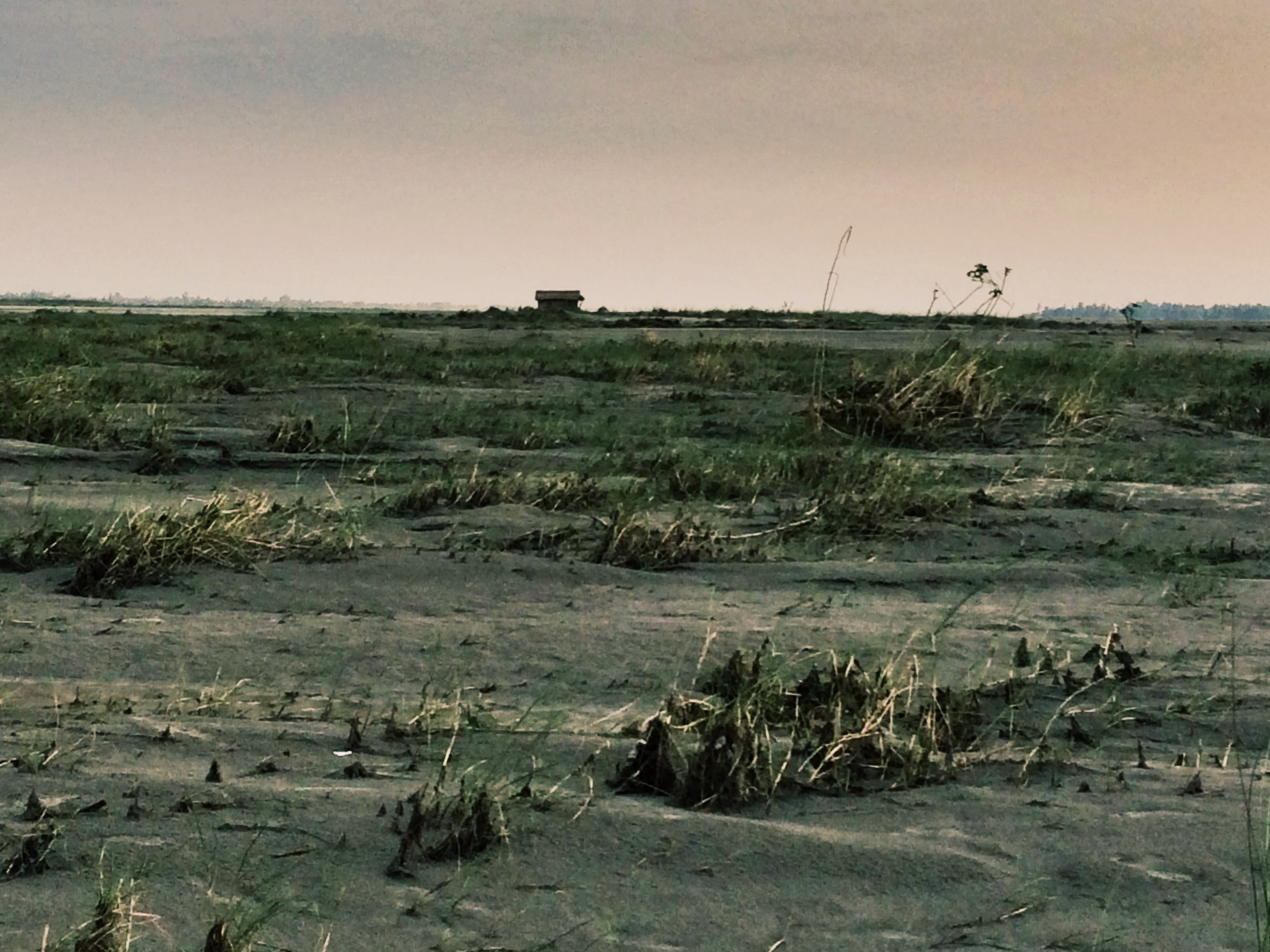
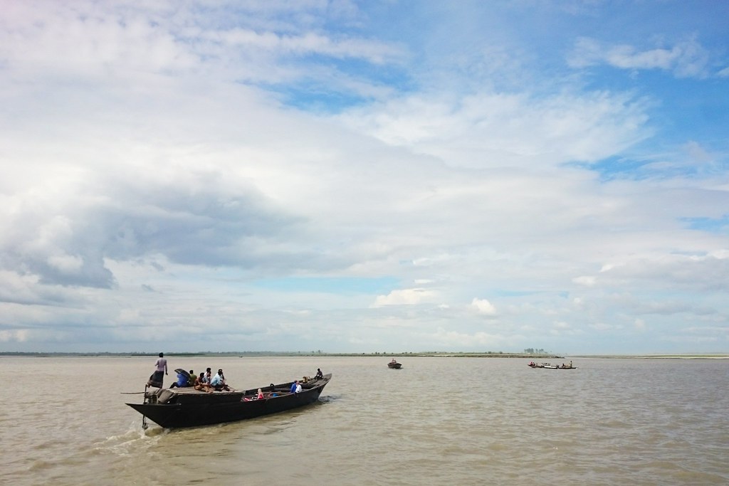
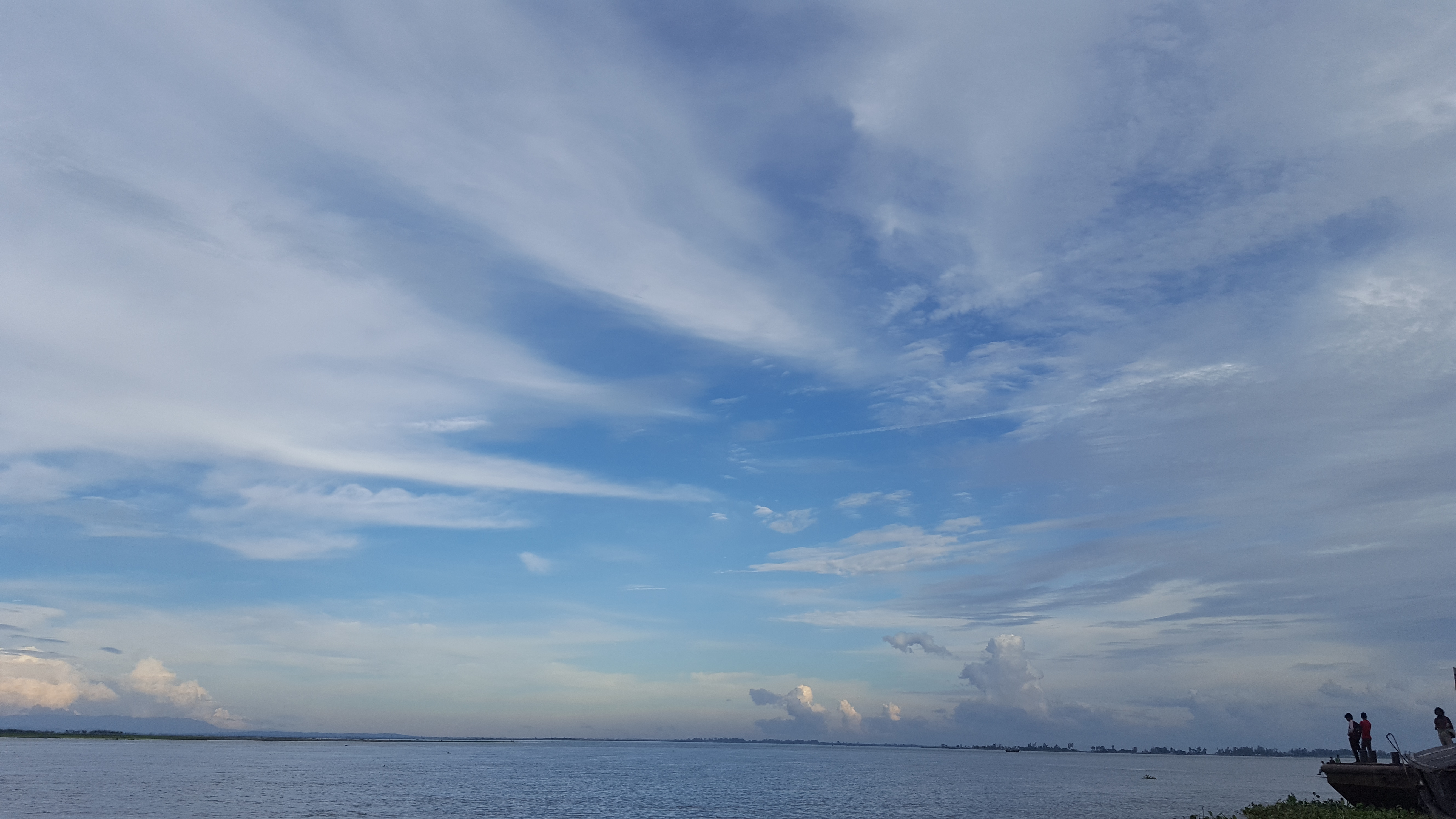
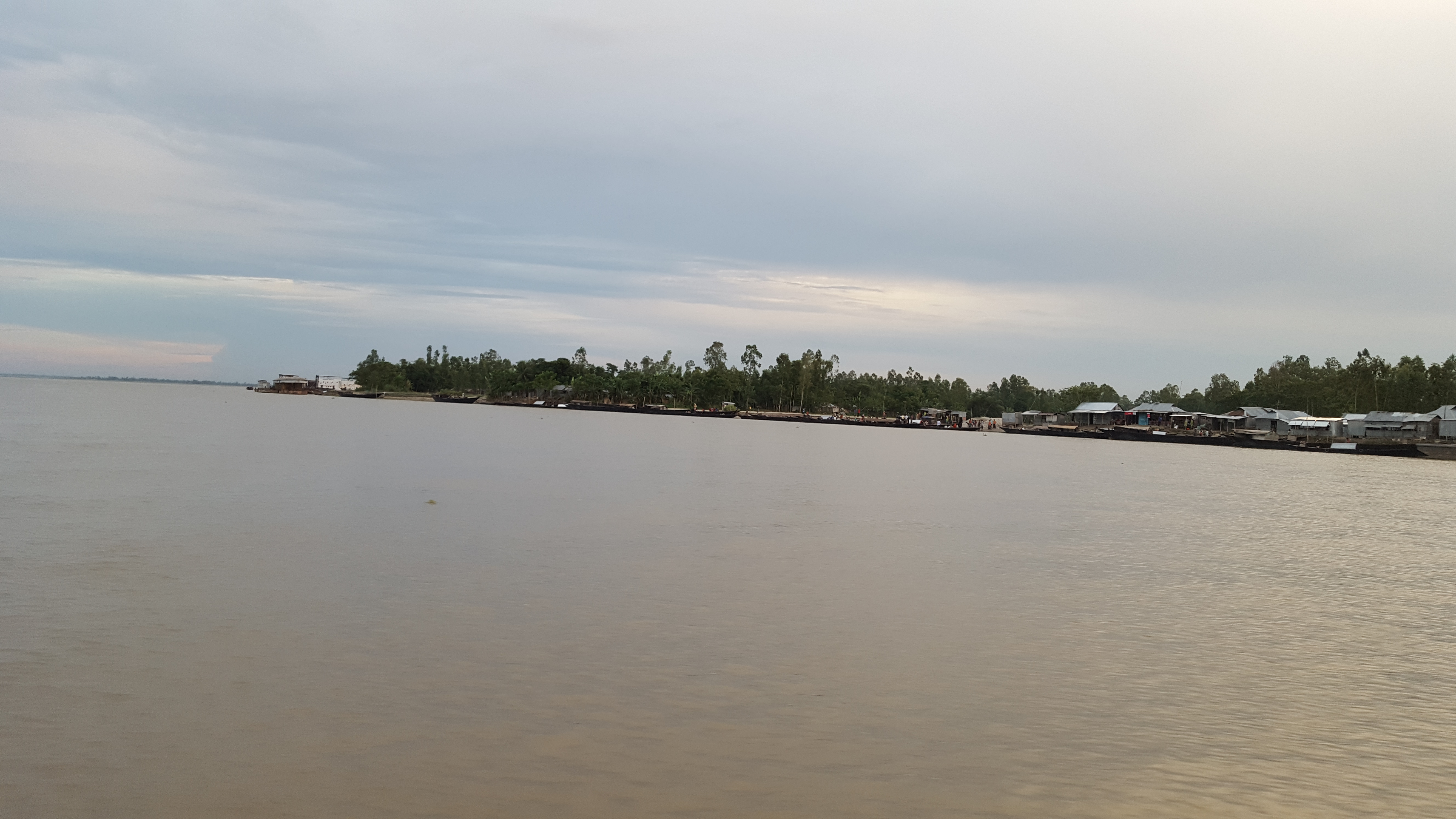
Elevation of Gaibandha District, Bangladesh
Location: Bangladesh > Rangpur Division >
Longitude: 89.5429652
Latitude: 25.3296928
Elevation: 27m / 89feet
Barometric Pressure: 101KPa
Elevation Map:
Satellite Map:
Related Photos:

20171009_174216

20171009_174229
Home
Journey
20171009_161202
20171009_173122
20180521_150155

20180521_150139

20180521_150143

20180521_150154
20180521_150200
20180521_150205
20180521_150208
20180521_150209

20180521_150214

20180521_150216
20180522_105404
20180522_105410

20180521_142226

20180521_143033

20180521_145953

20180521_145956

20180521_150028

20180521_150031

20180521_150032

20180521_150043

20180521_150044
Topographic Map of Gaibandha District, Bangladesh
Find elevation by address:

Places in Gaibandha District, Bangladesh:
Gaibandha Sadar Upazila
Fulchhari Upazila
Burail
Gaibandha
Gobindaganj Upazila
Palashbari Upazila
Sadullapur
Sadullapur Upazila
Saghata Upazila
Sundarganj Upazila
Places near Gaibandha District, Bangladesh:
Fulchari Thana
Gaibandha Sadar Upazila
Gaibandha
Fulchhari Upazila
Sadullapur
Sadullapur Upazila
Sundarganj Upazila
Char Rajibpur Upazila
Chilmari Upazila
Ulipur
Pirgachha Upazila
Rowmari Upazila
Rajarhat Upazila
Nawabganj Upazila
Kurigram District
Lalbag
Kurigram
Rangpur
Rangpur District
Rangpur Sadar Upazila
Recent Searches:
- Elevation of Corso Fratelli Cairoli, 35, Macerata MC, Italy
- Elevation of Tallevast Rd, Sarasota, FL, USA
- Elevation of 4th St E, Sonoma, CA, USA
- Elevation of Black Hollow Rd, Pennsdale, PA, USA
- Elevation of Oakland Ave, Williamsport, PA, USA
- Elevation of Pedrógão Grande, Portugal
- Elevation of Klee Dr, Martinsburg, WV, USA
- Elevation of Via Roma, Pieranica CR, Italy
- Elevation of Tavkvetili Mountain, Georgia
- Elevation of Hartfords Bluff Cir, Mt Pleasant, SC, USA