Elevation of Rajarhat Upazila, Bangladesh
Location: Bangladesh > Rangpur Division > Kurigram District >
Longitude: 89.5447389
Latitude: 25.7960369
Elevation: 33m / 108feet
Barometric Pressure: 101KPa
Elevation Map:
Satellite Map:
Related Photos:

ফুল তুলিতে যাই :)

Lalmonirhat Complain Picture-04-06-20

Sokoj Letter Lalmonirhat

CCC-Kurigram holds human chain demanding punishment of Nusrat's killers on 30 April 2019.

30-04-19-Kurigram_Water And Pond Renovation-1

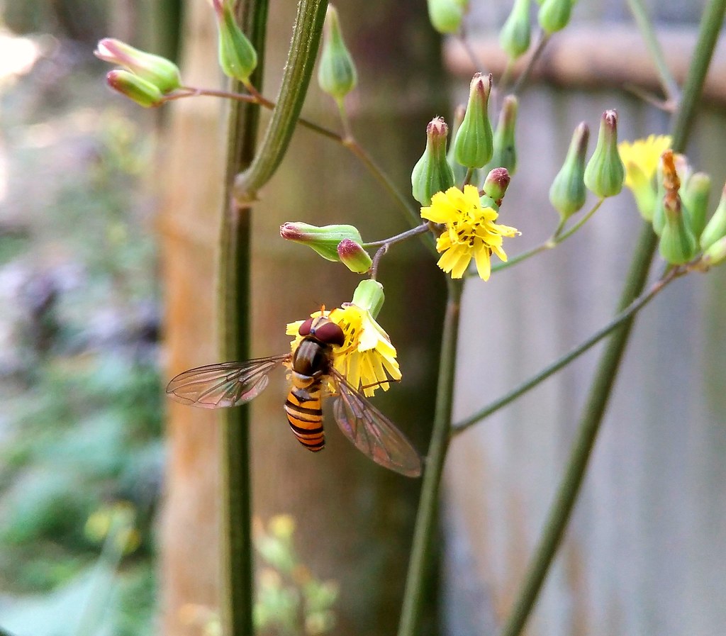
Unknown Flower
Honey extraction

1st generation with 4th generation #saina with her father's grandfather

#Retro #Village #Nature #lalmonirhat #bangladesh

#RainyDay in rural area of #Dhaka #Bangladesh.

#FamilyFirst Family first by Arefin Basher Arif

#FamilyFirst Family first by Arefin Basher Arif

#FamilyFirst Family first by Arefin Basher Arif

Cotton Candy on the sky, #speedingcarwindowphotography

Pond aquaculture in Rangpur, Bangladesh. Photo by Md. Ershadul Islam, 2012.

LALMONIRHAT 22.10.19 Picture
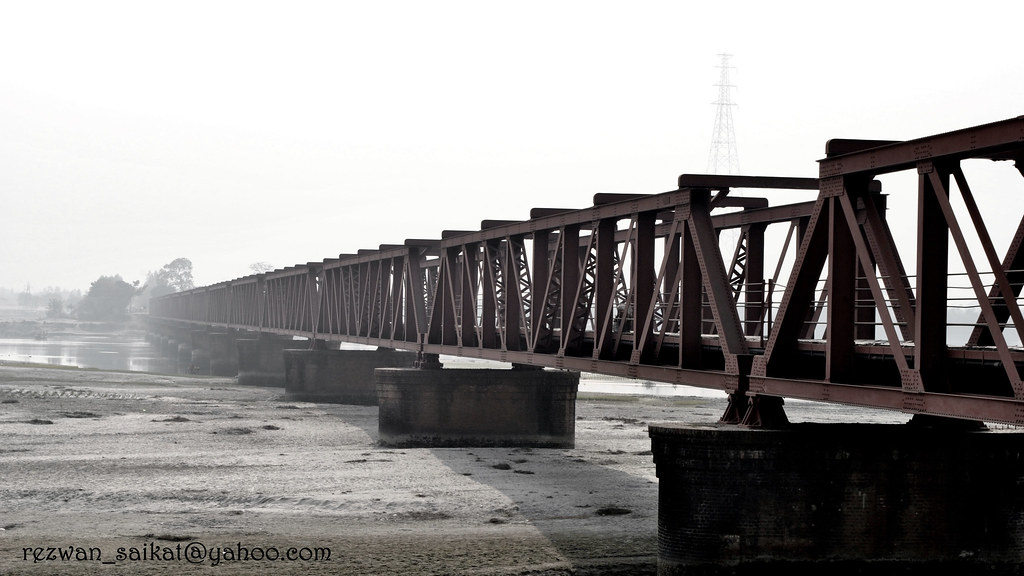
Bridge On The River TISTA (or what is left of the River)
Topographic Map of Rajarhat Upazila, Bangladesh
Find elevation by address:

Places near Rajarhat Upazila, Bangladesh:
Kurigram District
Kurigram
Lalmonirhat Sadar Upazila
Kurigram Sadar Upazila
Phulbari
Ulipur
Pirgachha Upazila
Mogolhat
Aditmari Upazila
Nageshwari Upazila
Sundarganj Upazila
Chilmari Upazila
Rangpur
Rangpur District
Lalbag
Kakina
Rangpur Sadar Upazila
Lalmonirhat District
Kaliganj Upazila
Bhurungamari
Recent Searches:
- Elevation of Corso Fratelli Cairoli, 35, Macerata MC, Italy
- Elevation of Tallevast Rd, Sarasota, FL, USA
- Elevation of 4th St E, Sonoma, CA, USA
- Elevation of Black Hollow Rd, Pennsdale, PA, USA
- Elevation of Oakland Ave, Williamsport, PA, USA
- Elevation of Pedrógão Grande, Portugal
- Elevation of Klee Dr, Martinsburg, WV, USA
- Elevation of Via Roma, Pieranica CR, Italy
- Elevation of Tavkvetili Mountain, Georgia
- Elevation of Hartfords Bluff Cir, Mt Pleasant, SC, USA