Elevation of Palashbari Upazila, Bangladesh
Location: Bangladesh > Rangpur Division > Gaibandha District >
Longitude: 89.3534617
Latitude: 25.2794258
Elevation: 28m / 92feet
Barometric Pressure: 101KPa
Elevation Map:
Satellite Map:
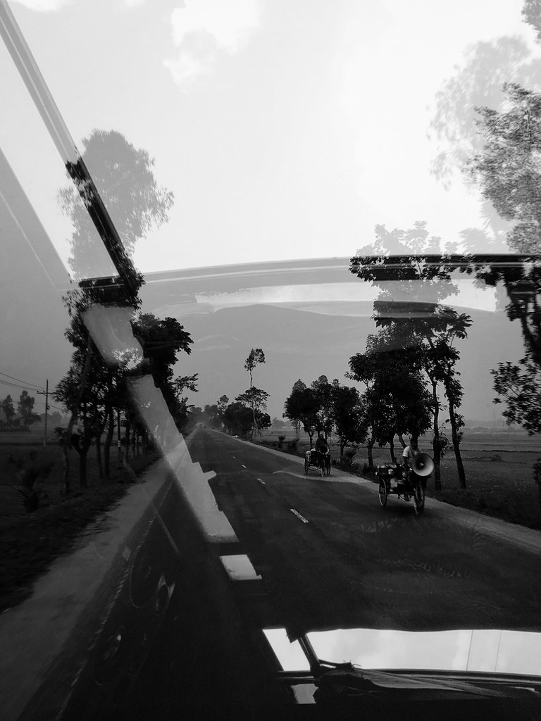
Related Photos:

ফড়িং

ফড়িং

2015-12-13_08-37-55

সরিষাফুল।

Jummah Mubarak

Ambassador Earl Miller visit Gaibanda Flood affected Area.

Touhid khandoker
IMG_20181219_170153-01-01
Topographic Map of Palashbari Upazila, Bangladesh
Find elevation by address:

Places near Palashbari Upazila, Bangladesh:
Gobindaganj Upazila
Ghoraghat Upazila
Fulchari Thana
Burail
Saghata Upazila
Jaipurhat District
Hakimpur Upazila
Hakimpur
Bogra District
Bogra
Jamalpur District
Kazipur Upazila
Rajshahi Division
Naogaon District
Hatikumrul
Aristocrat
Sirajganj
Baazar Station
Sirajganj Railway Station
Gopalpur
Recent Searches:
- Elevation of Corso Fratelli Cairoli, 35, Macerata MC, Italy
- Elevation of Tallevast Rd, Sarasota, FL, USA
- Elevation of 4th St E, Sonoma, CA, USA
- Elevation of Black Hollow Rd, Pennsdale, PA, USA
- Elevation of Oakland Ave, Williamsport, PA, USA
- Elevation of Pedrógão Grande, Portugal
- Elevation of Klee Dr, Martinsburg, WV, USA
- Elevation of Via Roma, Pieranica CR, Italy
- Elevation of Tavkvetili Mountain, Georgia
- Elevation of Hartfords Bluff Cir, Mt Pleasant, SC, USA