Elevation of Bogra, Bangladesh
Location: Bogra > Bogra District >
Longitude: 89.3729633
Latitude: 24.848078
Elevation: 27m / 89feet
Barometric Pressure: 101KPa
Elevation Map:
Satellite Map:
Related Photos:
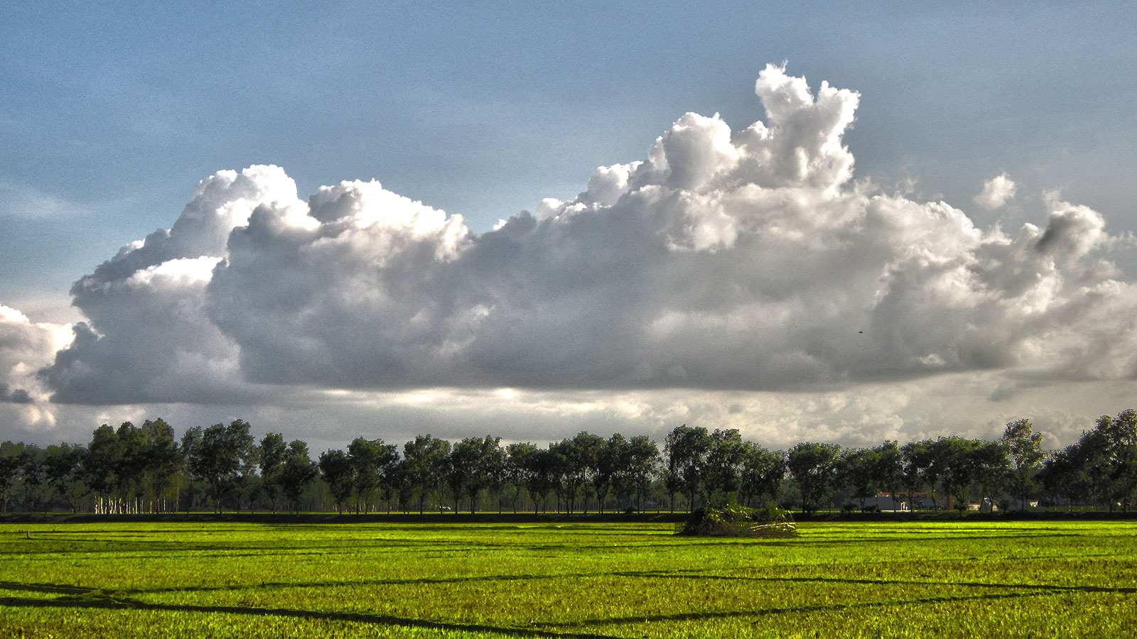
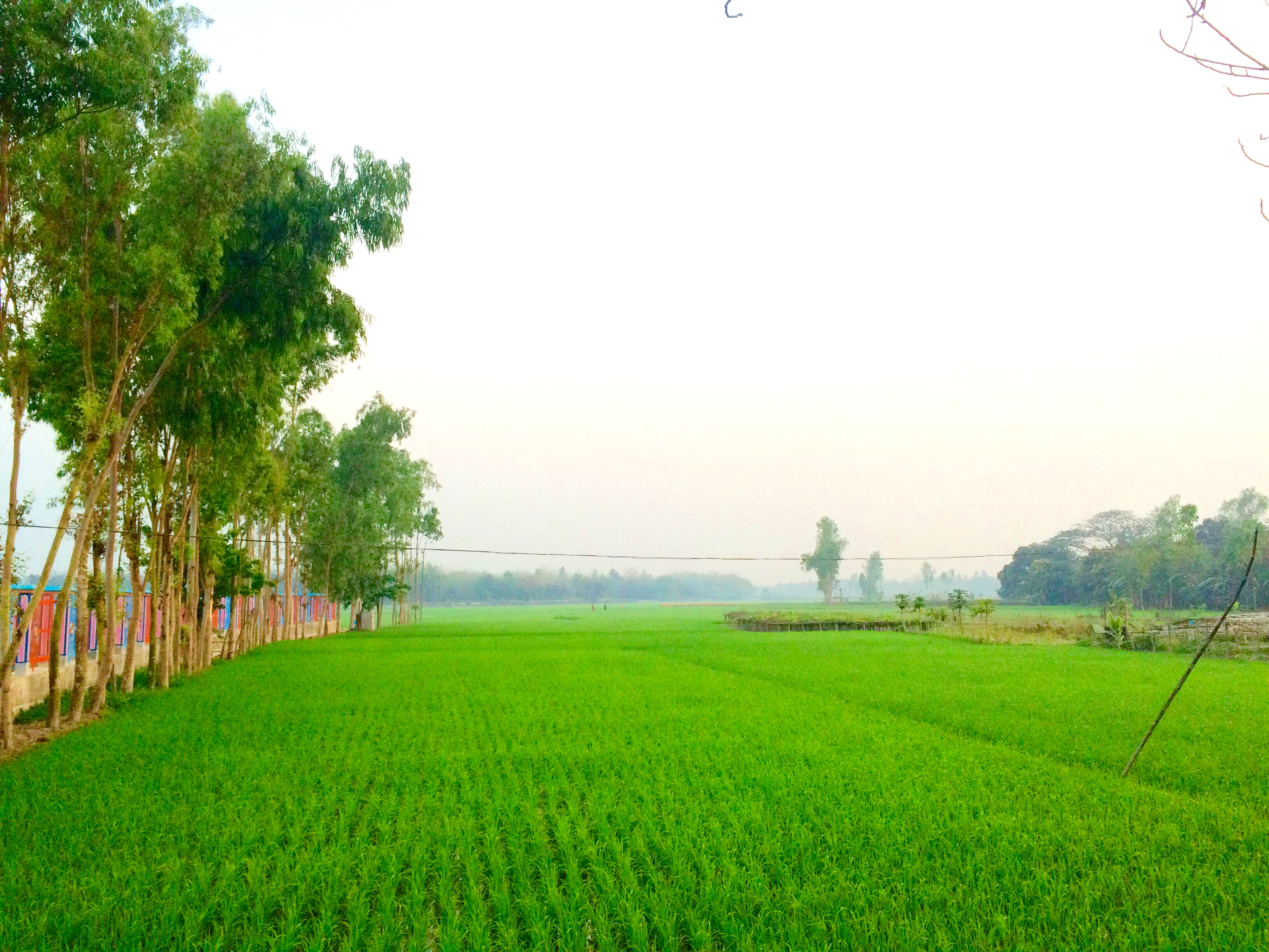
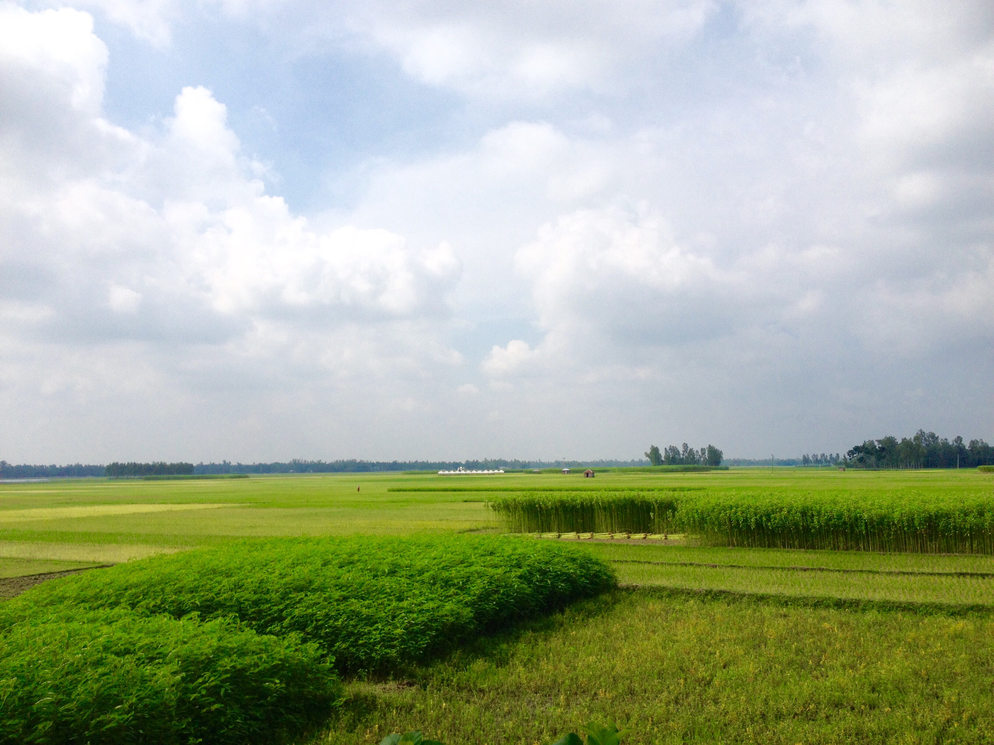
Nature view of Bogra
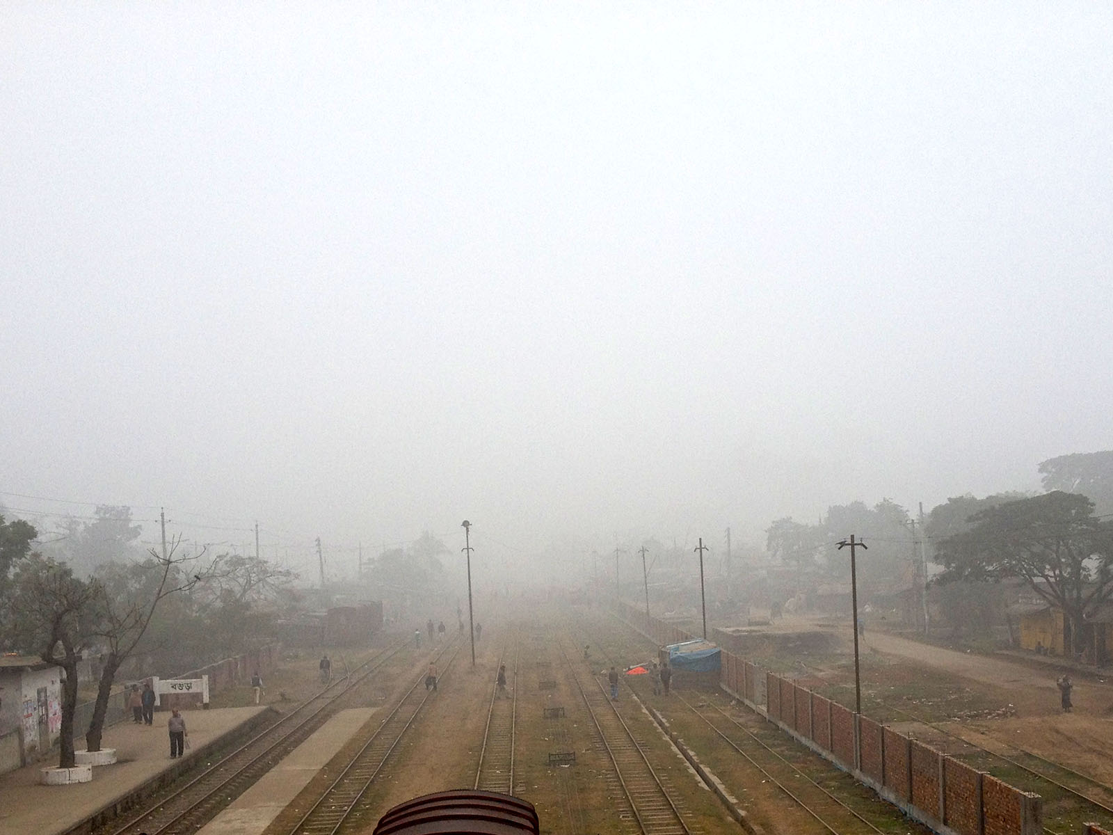
Bogra Railway Foot over Bridge
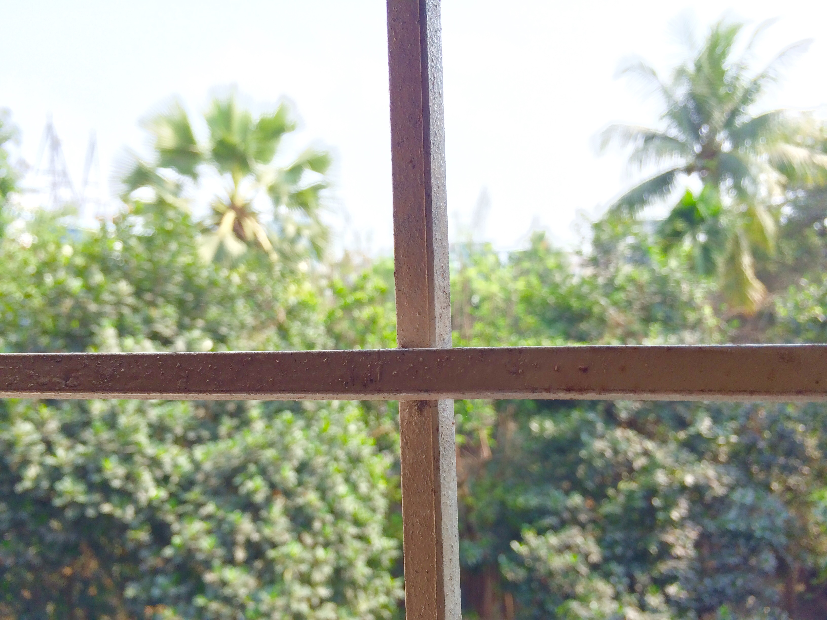
View from window
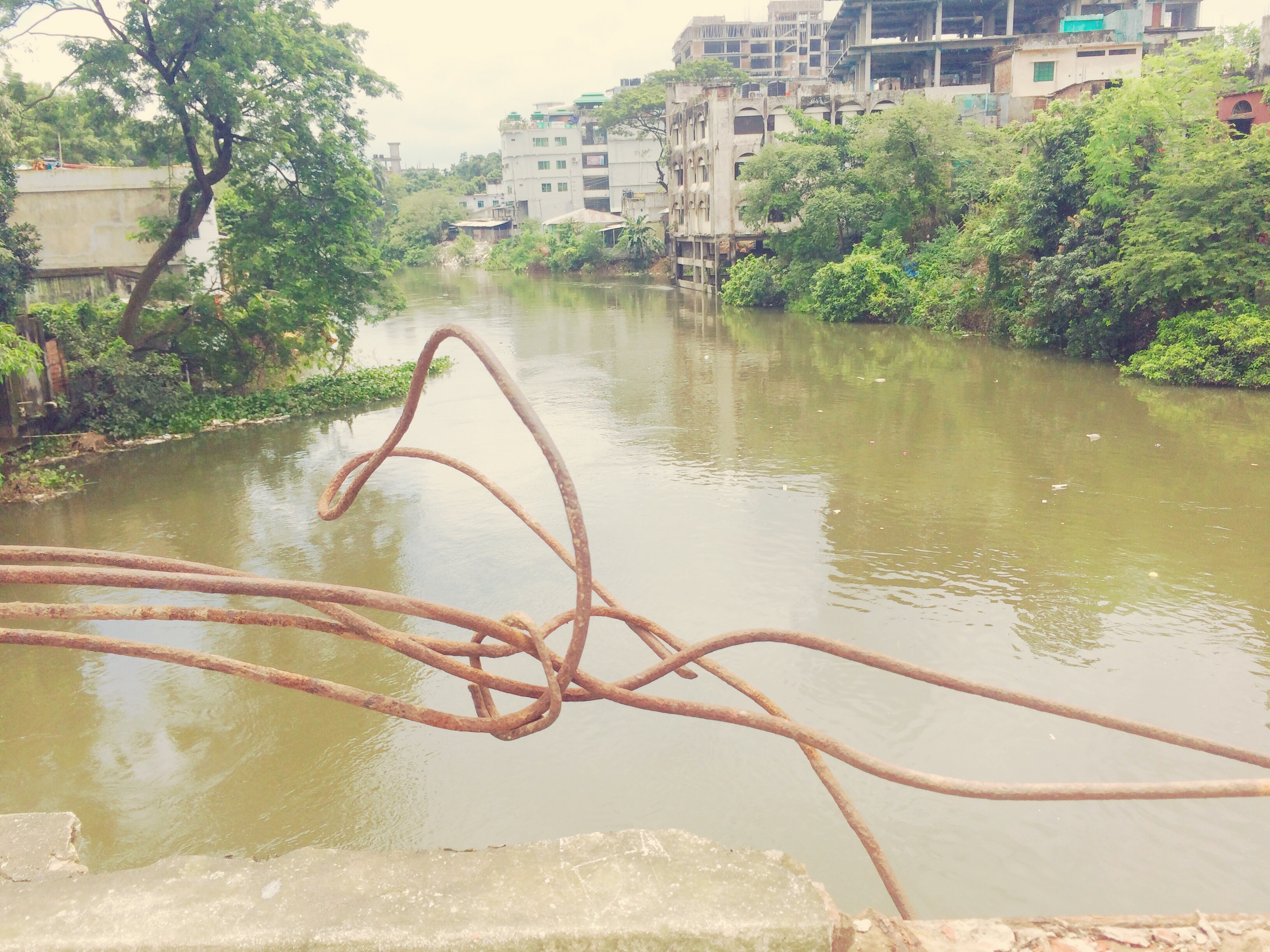
View from Chalopara bridge Bogra Bangladesh
Dr. Bipul ray's chan ghat, gubtoli, sukhanpukur Bogra
On a nice and wonderful evening near madla Bogra
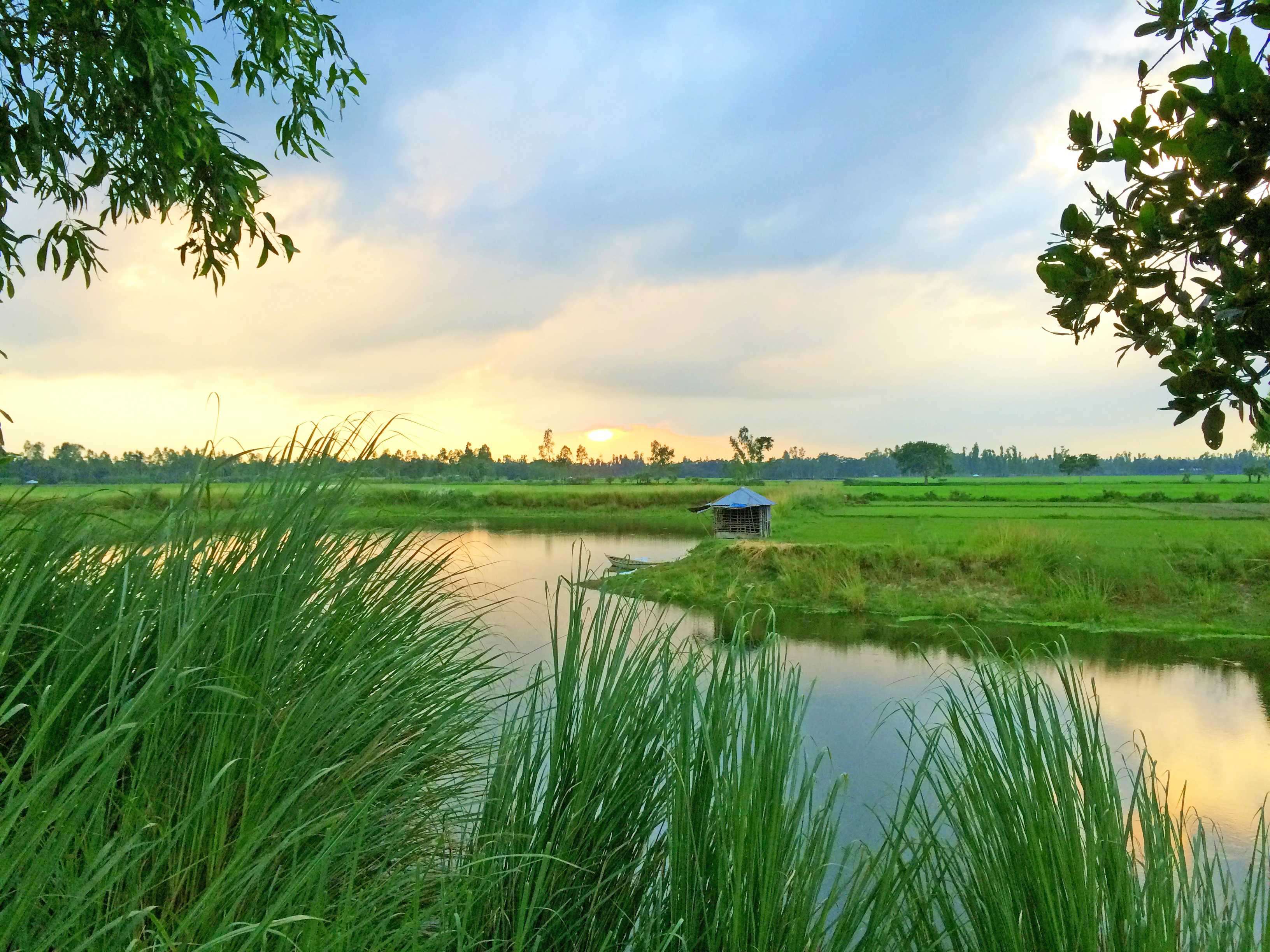
On a wonderful evening near Sukhanpur Bogra
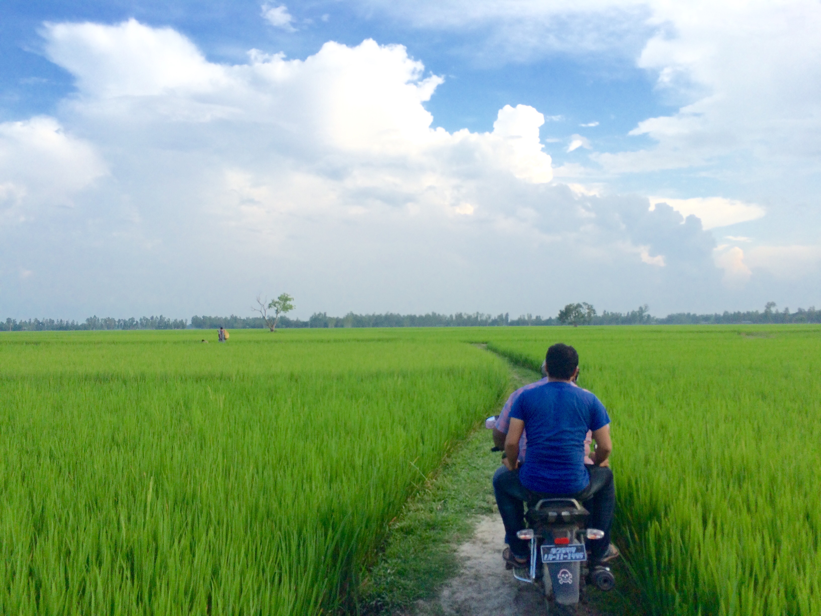
Modern Transport into Green Nature
Way to Bogra from Shariyakandi
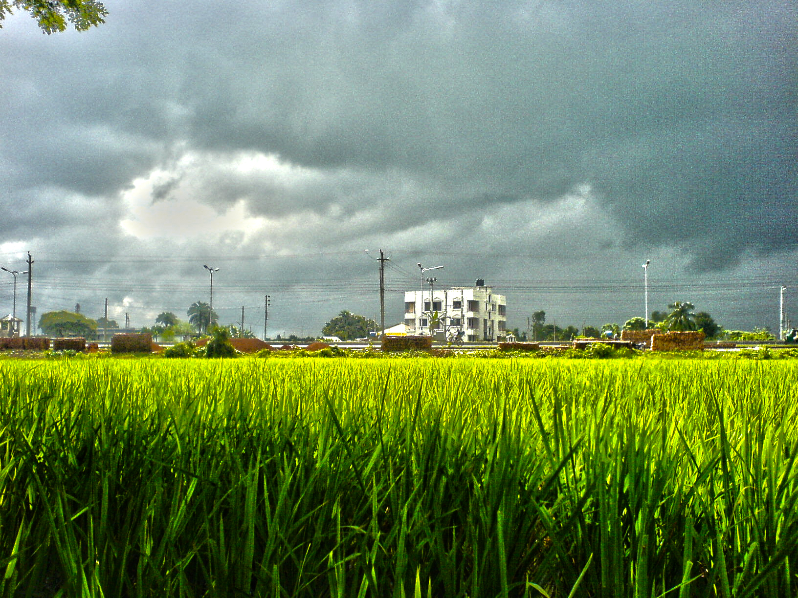
On a clear shiny cloudy day in front of Govt Azizul College, Bogra
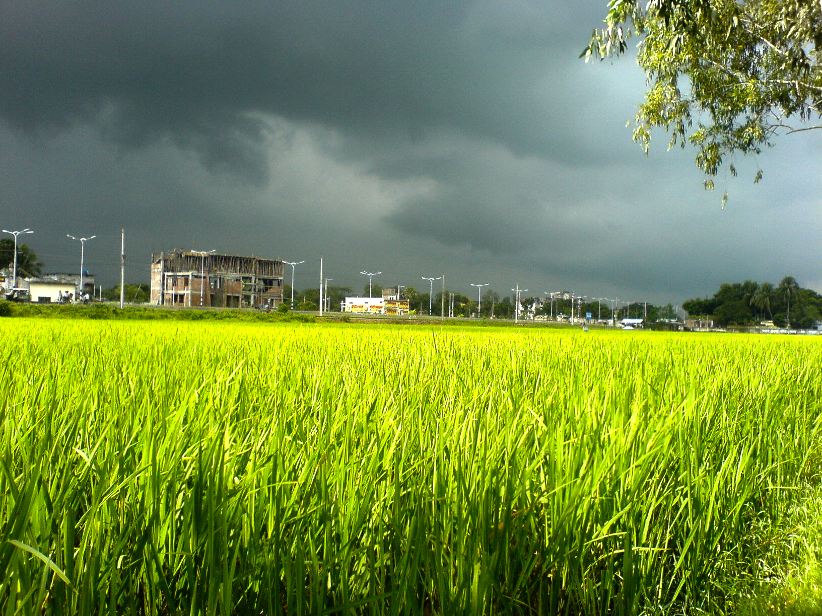
On a clear shiny cloudy day in front of Govt Azizul Haque College, Bogra
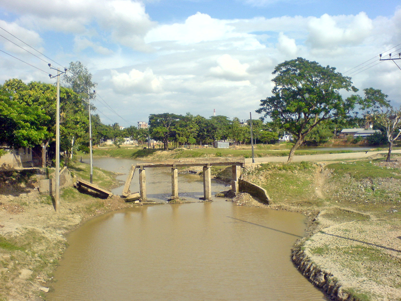
Broken Bridge of Bogra, Bangladesh
Simplicity of Nature - 02

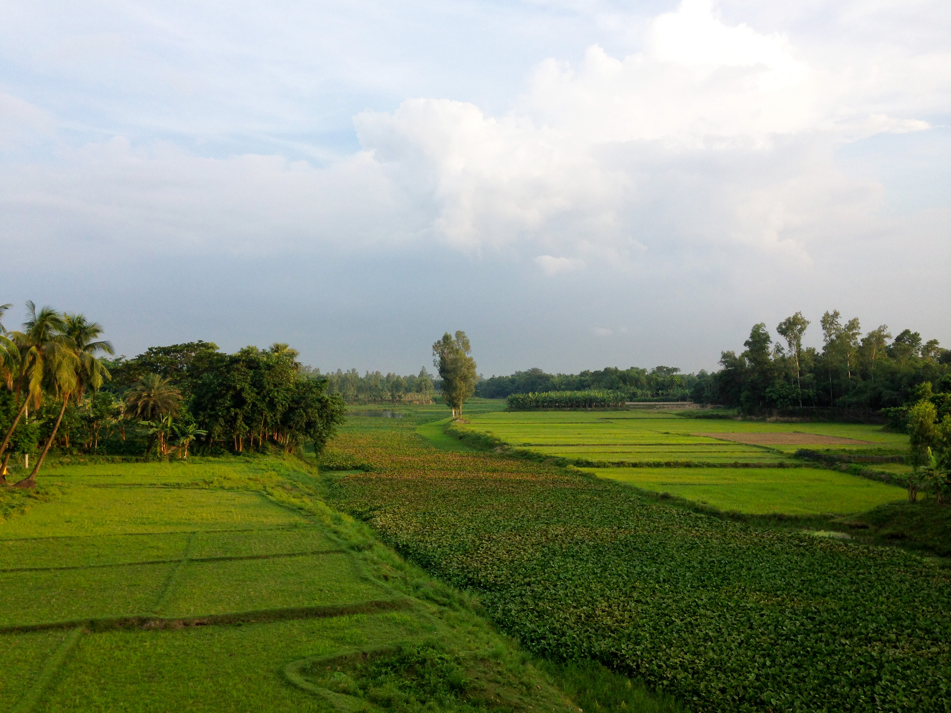
Outskirts of Bogra

into the whispering wind... #sariakandi #bogra #northbengal #wahidadnan #instagram #crop #house #everydaybangladesh #everydayeverywhere #love #gloomy #emotion #passion #asia #southasia #bangladesh #cropfield #assignment
Topographic Map of Bogra, Bangladesh
Find elevation by address:

Places in Bogra, Bangladesh:
Places near Bogra, Bangladesh:
Bogra District
Gobindaganj Upazila
Kazipur Upazila
Saghata Upazila
Jaipurhat District
Palashbari Upazila
Rajshahi Division
Hatikumrul
Aristocrat
Fulchari Thana
Jamalpur District
Burail
Ghoraghat Upazila
Sirajganj
Baazar Station
Sirajganj Railway Station
Kamarkhanda Upazila
Road
Jhawoil Gram
Hakimpur
Recent Searches:
- Elevation of Corso Fratelli Cairoli, 35, Macerata MC, Italy
- Elevation of Tallevast Rd, Sarasota, FL, USA
- Elevation of 4th St E, Sonoma, CA, USA
- Elevation of Black Hollow Rd, Pennsdale, PA, USA
- Elevation of Oakland Ave, Williamsport, PA, USA
- Elevation of Pedrógão Grande, Portugal
- Elevation of Klee Dr, Martinsburg, WV, USA
- Elevation of Via Roma, Pieranica CR, Italy
- Elevation of Tavkvetili Mountain, Georgia
- Elevation of Hartfords Bluff Cir, Mt Pleasant, SC, USA