Elevation map of Sirajganj District, Bangladesh
Location: Bangladesh > Rajshahi Division >
Longitude: 89.5699615
Latitude: 24.3141115
Elevation: 17m / 56feet
Barometric Pressure: 101KPa
Elevation Map:
Satellite Map:
Related Photos:
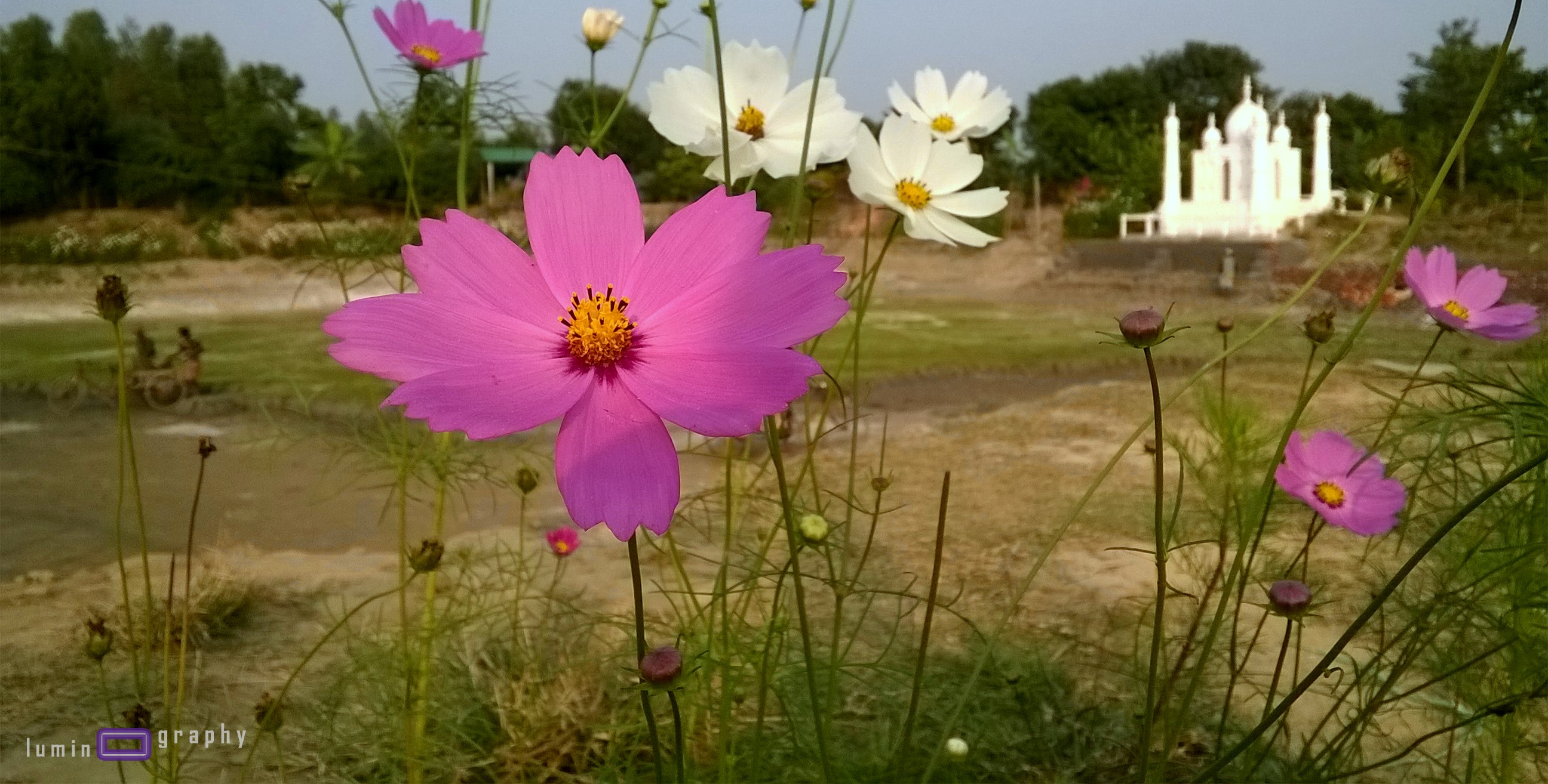
Village View

Village View
Village View

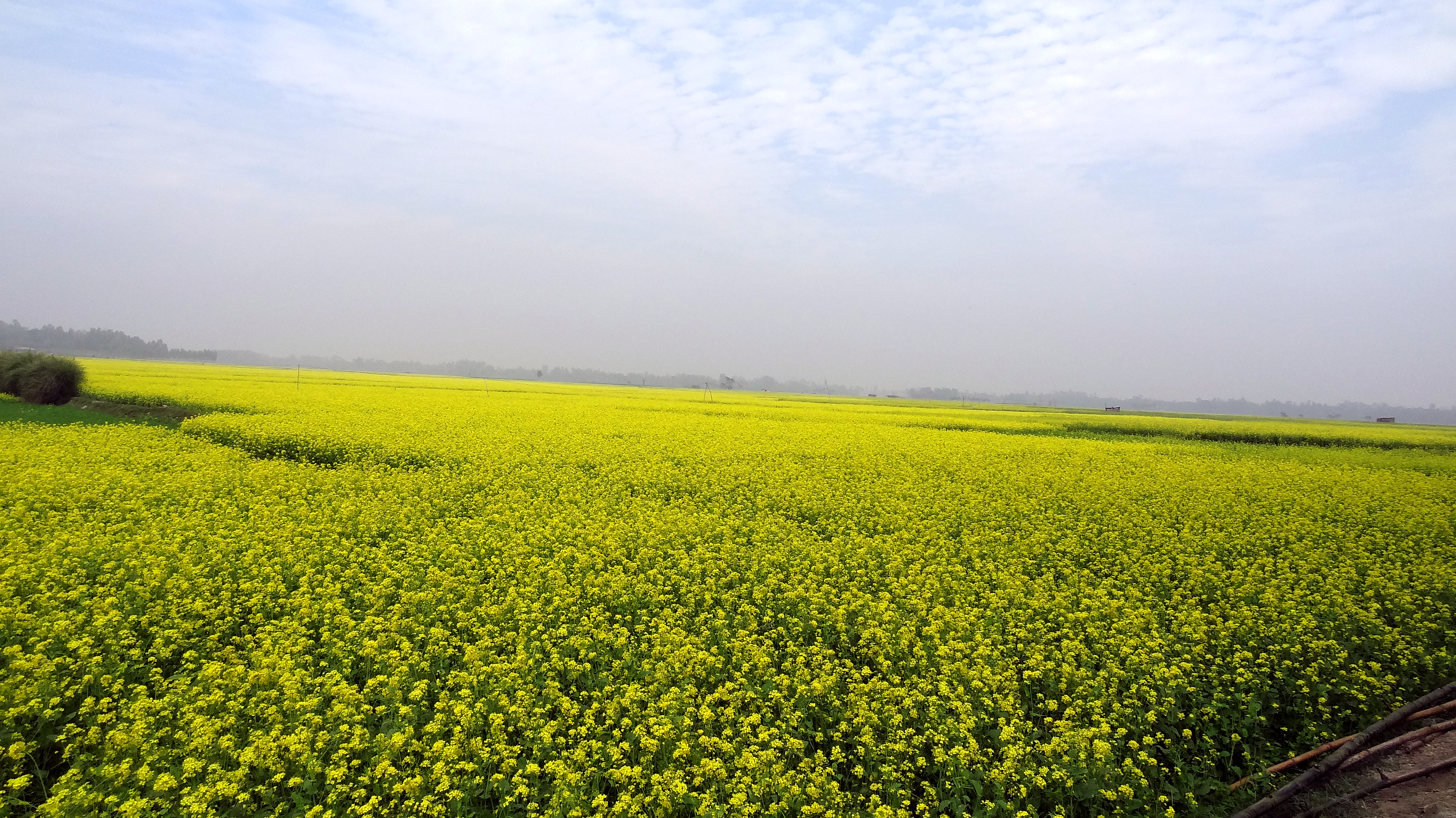
Rice Paddies

2014-07-25_10-55-18

Boat Racing Moment

A smile can change everything
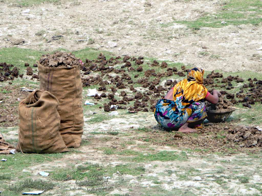
Drying Cow Dung
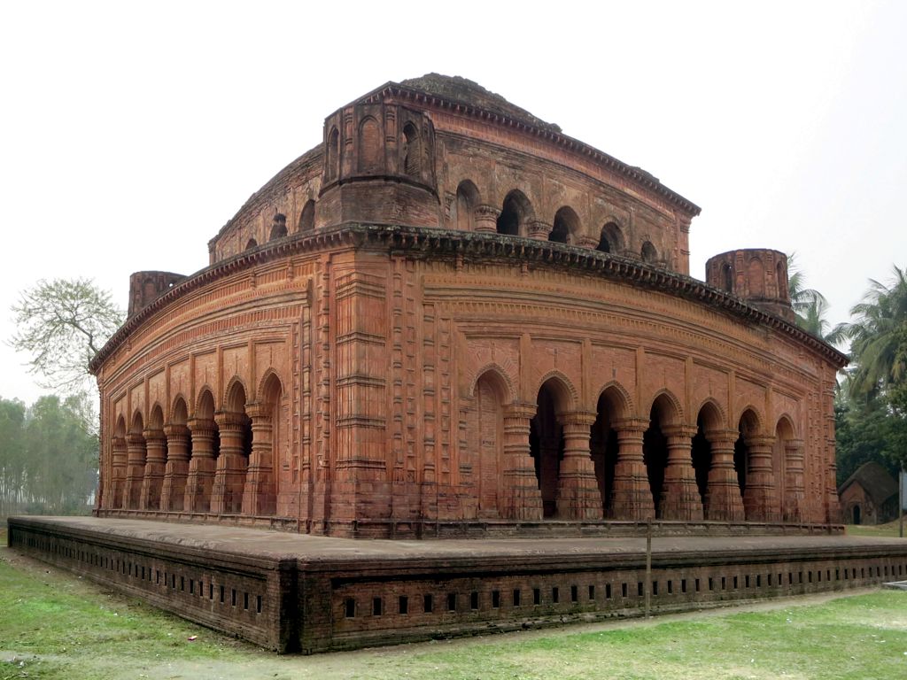
Navaratna Temple

Hatikumrul Woman

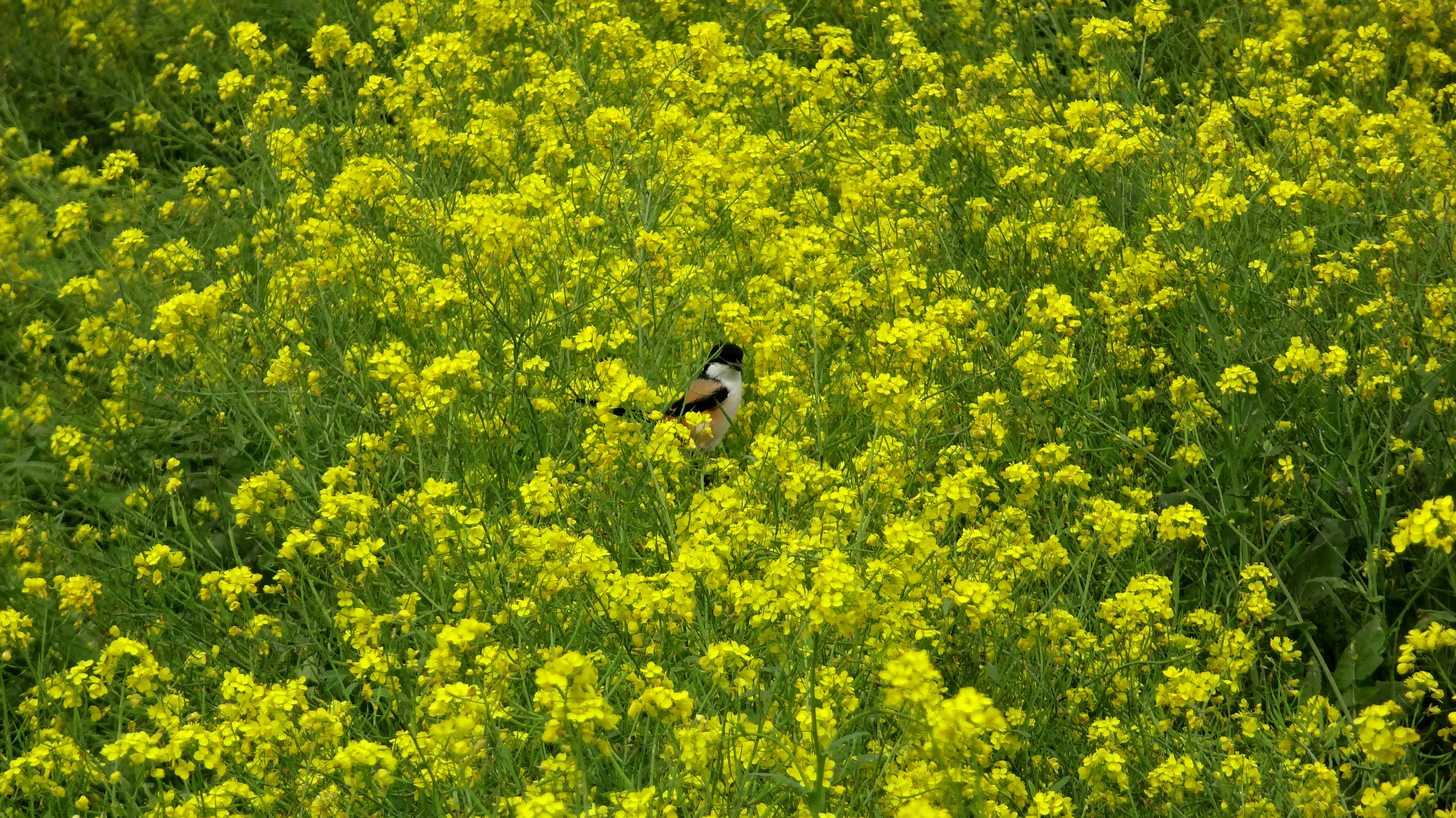
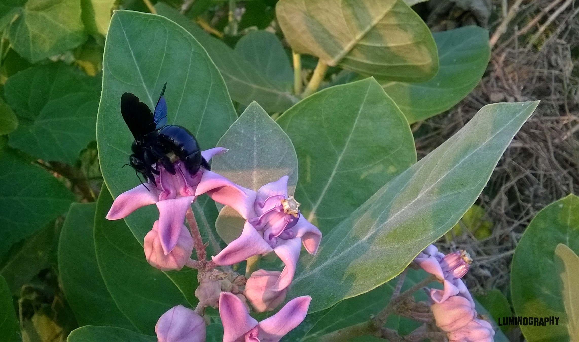
Olive Leaf

Breakfast at highway #perfectpixelza

Light of Life's speed
gxdg (2)
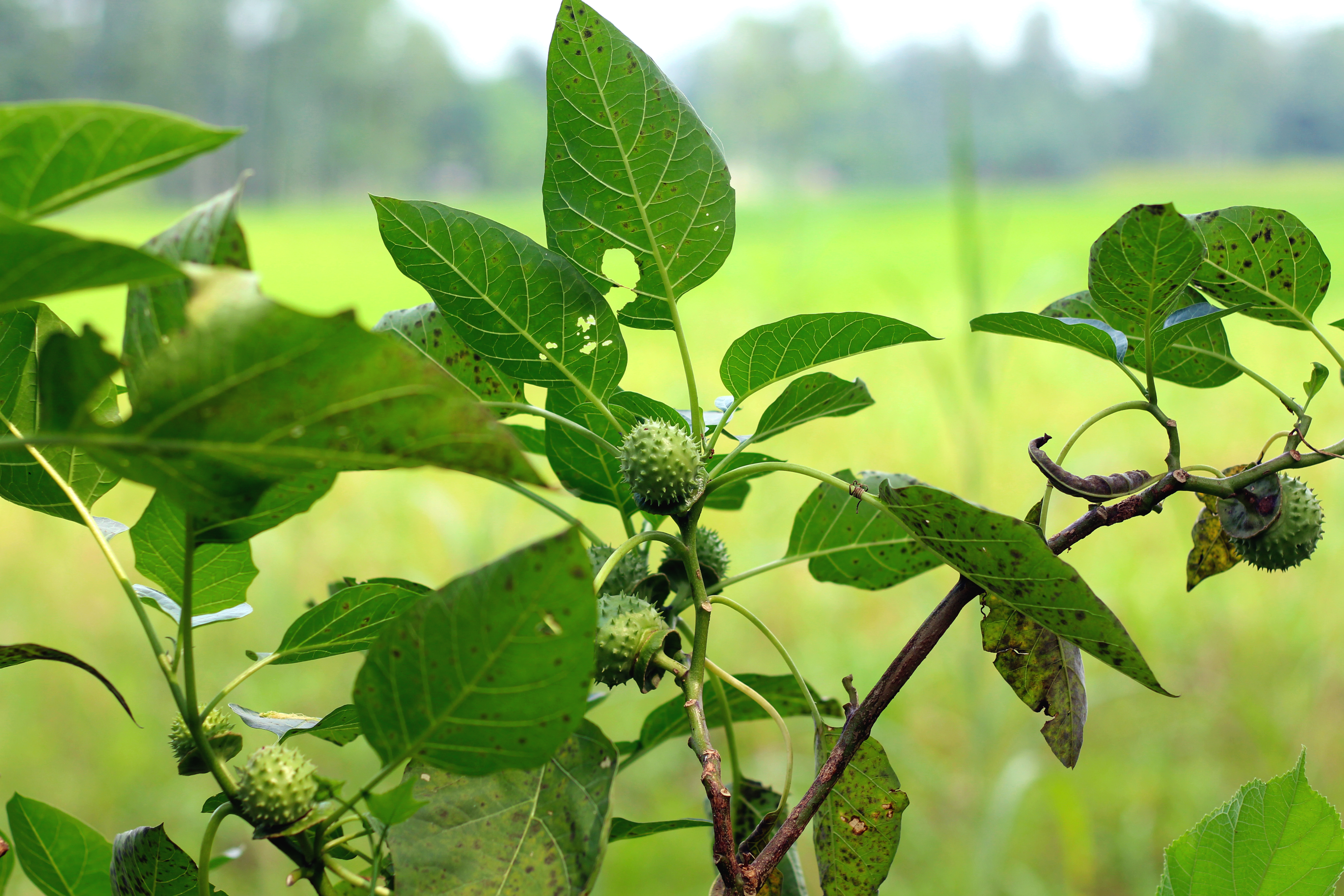
Datura Metel

naim (3)
naim (9)

naim (6)
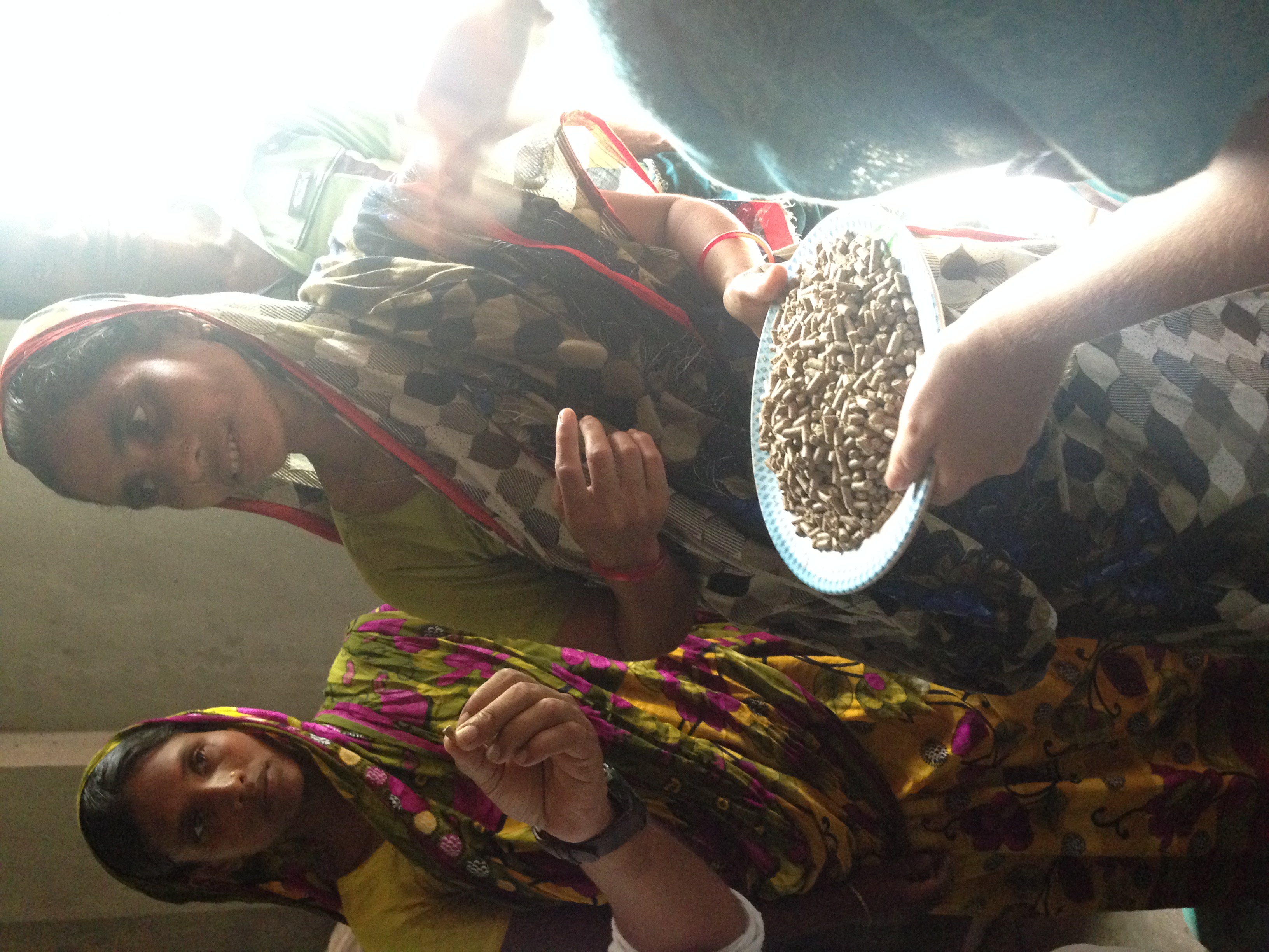
Woman showing her cow feed

naim (5)

A aspirante a fotógrafa do @balladavip #balladavip #VoceVIPSempre #parceria #extouroooo #cowboyvagabundo #sabadãoderode eio

naim_new (2)

.... to curtindo com a galera, e dando vaia pra tu...???????????? #soastops #gatasdecedral #balladavip #VoceVIPSempre #rerumeventos #parceria #extouroooo
Esse meu amigo num sabe brincá.....kkkkkkkk lascooo #balladavip #VoceVIPSempre #play #fdsbruto #sócomeçando #queimadoalho #villamix #curuuuuiiizzzzzz
Topographic Map of Sirajganj District, Bangladesh
Find elevation by address:

Places in Sirajganj District, Bangladesh:
Places near Sirajganj District, Bangladesh:
Aristocrat
Kamarkhanda Upazila
Hatikumrul
Jhawoil Gram
Road
Sirajganj
Sirajganj Railway Station
Baazar Station
Pabna District
Chauhali Upazila
Bhuapur
Tangail
Kalihati Upazila
Kazipur Upazila
Tangail District
Pabna
Gopalpur
Ishwardi Upazila
Ishwardi
Bogra
Recent Searches:
- Elevation of Corso Fratelli Cairoli, 35, Macerata MC, Italy
- Elevation of Tallevast Rd, Sarasota, FL, USA
- Elevation of 4th St E, Sonoma, CA, USA
- Elevation of Black Hollow Rd, Pennsdale, PA, USA
- Elevation of Oakland Ave, Williamsport, PA, USA
- Elevation of Pedrógão Grande, Portugal
- Elevation of Klee Dr, Martinsburg, WV, USA
- Elevation of Via Roma, Pieranica CR, Italy
- Elevation of Tavkvetili Mountain, Georgia
- Elevation of Hartfords Bluff Cir, Mt Pleasant, SC, USA