Elevation of Pittim Dr, Redding, CA, USA

Location: United States > California > Shasta County > Redding >

Longitude: -122.41934

Latitude: 40.620439

Elevation: 217m / 712feet

Barometric Pressure: 99KPa

Elevation Map:

elevation map of Pittim Dr, Redding, CA, USA

Satellite Map:

Satellite map of Pittim Dr, Redding, CA, USA

Related Photos:

mossbraefallsdunsmuirburneyfallsmanzanitalakelassennatio mossbraefallsdunsmuirburneyfallsmanzanitalakelassennationalparkdayphotographywitherno
Sundial Bridge Lightning, The Sundial Bridge, Redding, CA
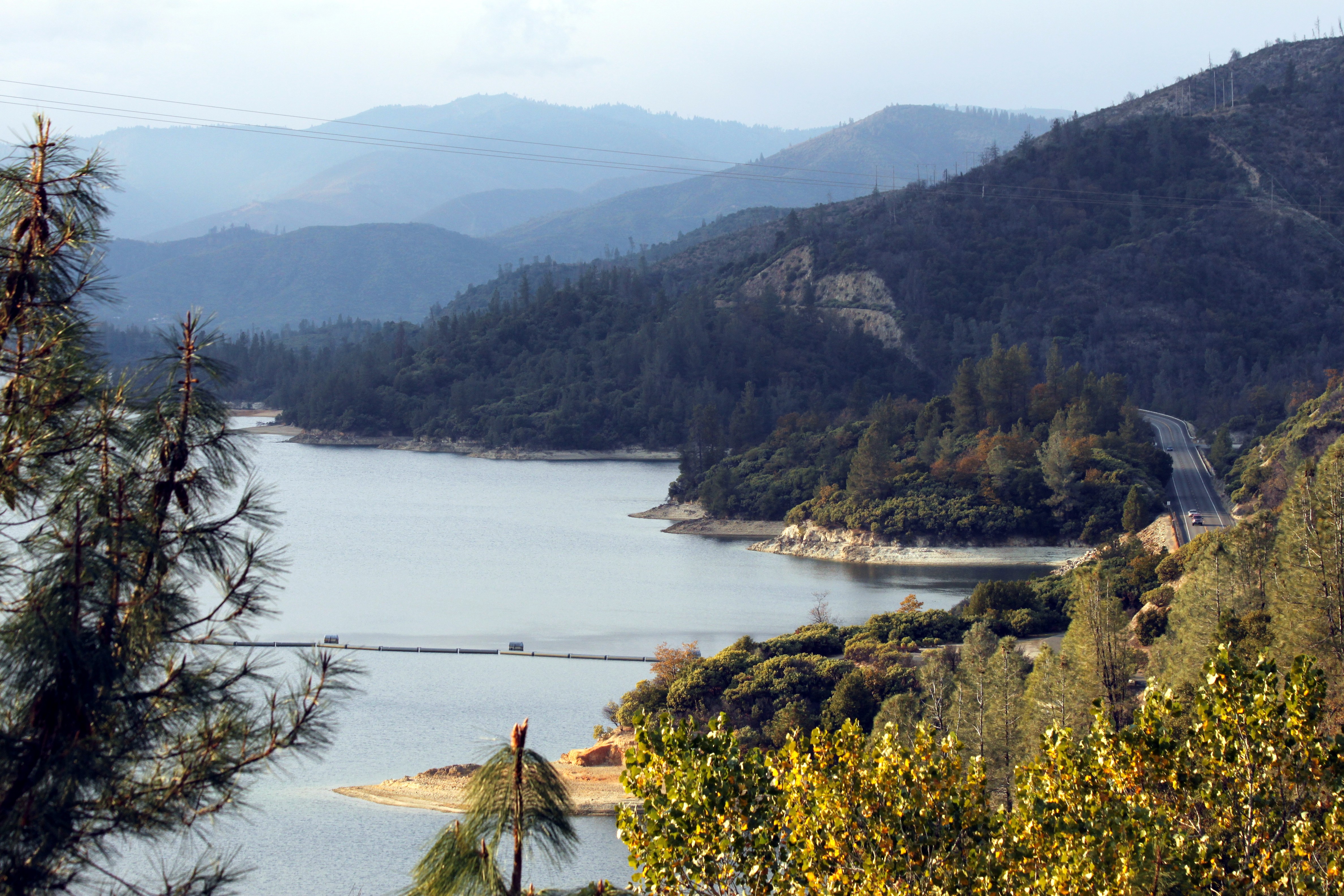
california county ca mountain lake beautiful town view scenic whiskey shasta whiskeytown konomark
Whiskeytown Lake
Sundial Bridge at Turtle Bay Exploration Park facing Sacramento River west view in Redding, California.
Sundial Bridge at Turtle Bay Exploration Park facing west view in Redding, California.
california county ca snow top mount covered shasta mtshasta redding montain konomark
Mt. Shasta
Sundial Bridge at Turtle Bay Exploration Park facing north view in Redding, California.
california park ca mountain church parish lady catholic peace roman mary north iglesia queen national igreja mtn nocal northern catolica volcanic redding mercy lassen gereja queenofpeace katholic ourladyofmercy konomark
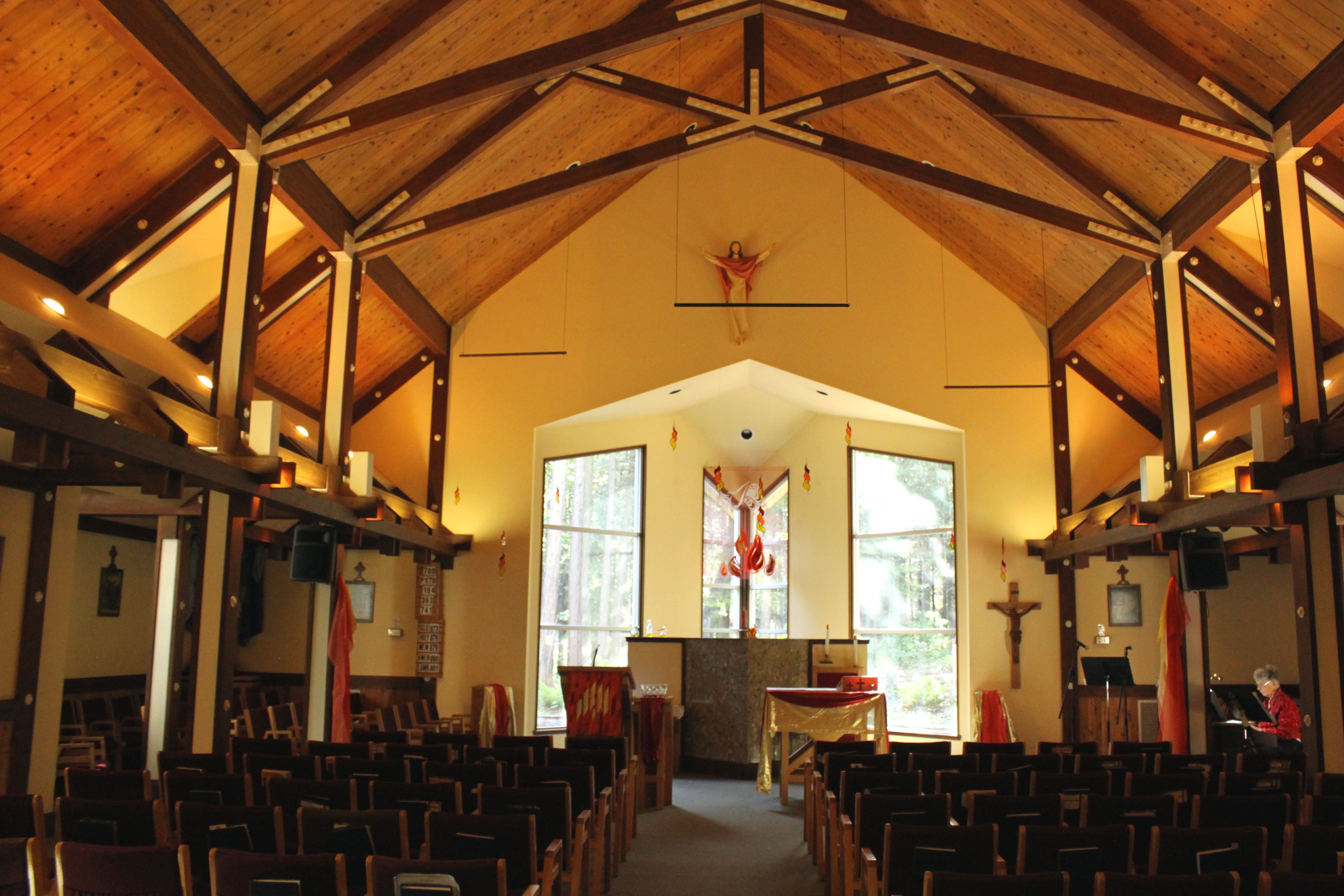
Our Lady of Mercy Parish
Sundial Bridge at Turtle Bay Exploration Park facing north view in Redding, California.
two people woman holiday male men beautiful beauty smile horizontal female naked relax healthy women couple hand adult natural skin body head young lifestyle romance indoors health together enjoy massage blonde attractive oil romantic salon serene resting therapy chiropractic care relaxation sideview lying spa luxury pleasure chiropractor wellness treatment caucasian wellbeing masseur bodycare alternativemedicine closedeye massaging headmassage pampering beautytreatment healthspa healthylifestyle spatreatment healthcareandmedicine beautyspa chiropractorreddingca chiropracticreddingca reddingcachiropractor reddingcachiropractic
Chiropractic First (530) 243-0889
Interstate 5 Northbound Shasta Valley Freeway approaching Exit 681 - Twin View Blvd. 1/2 mile, Exit 682 - Oasis Road 1 1/2 miles and Exit 684 - Pine Grove Avenue 3 miles with this roadside sign located at Shasta County - Redding, California.
california bridge sunrise calatrava redding sundialbridge
Calatrava's Sundial Bridge, Redding, California
square squareformat hudson iphoneography instagramapp uploaded:by=instagram foursquare:venue=4ba45d0bf964a520b09838e3
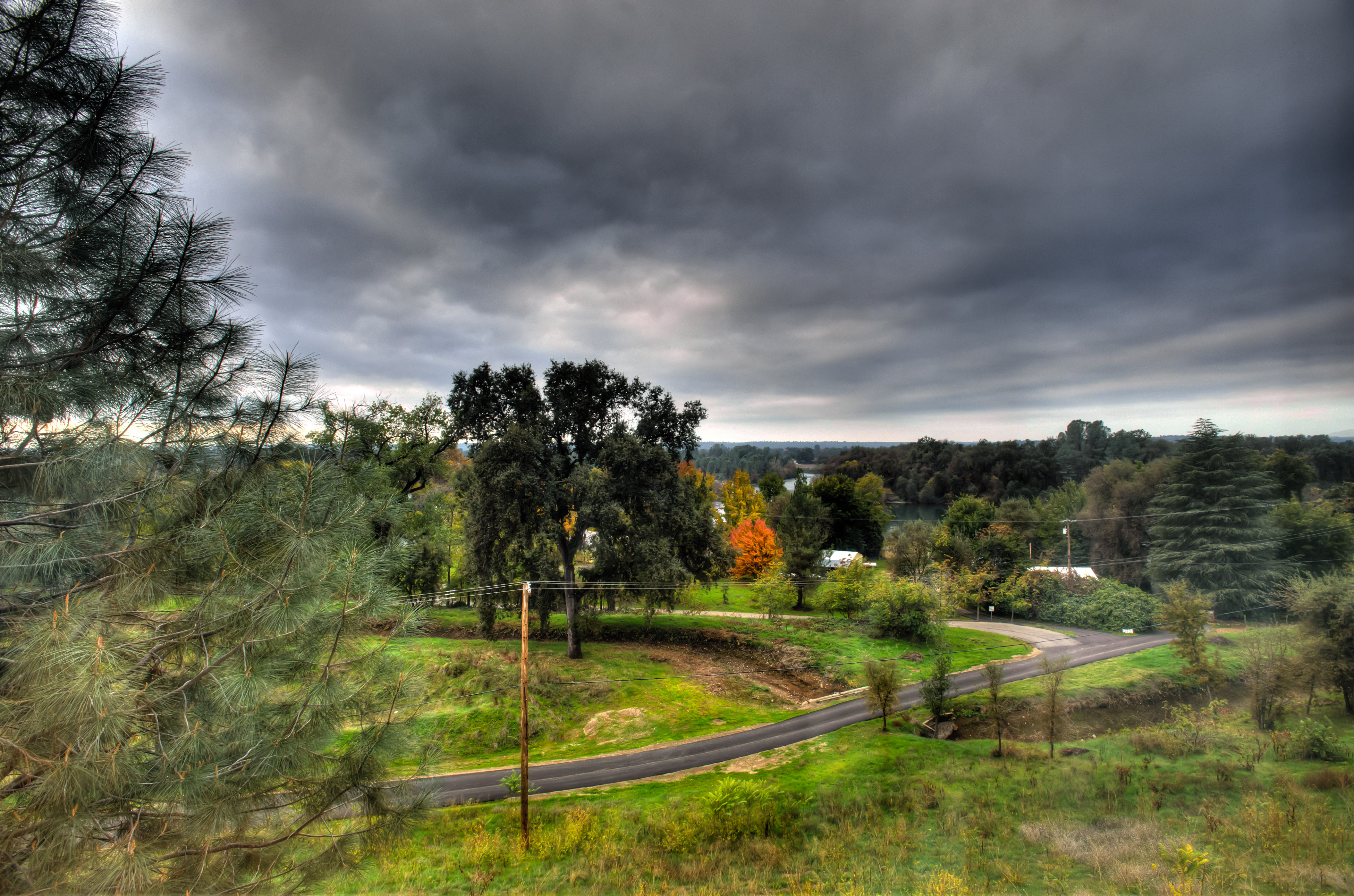
Changed hotels. Here's the view from the room - sunset on the Sacramento River. #roadtrip #redding #california #hotel #view #Sacramento #river #instagold #instagood #instagram #igdaily #igaddicts #ipodtouch #ipod
square toaster squareformat iphoneography instagramapp uploaded:by=instagram foursquare:venue=4ea77bd95c5cc8e498cabe72
View from the overflow. Who'd have though you wouldn't be able to find a seat at an 8.30am service. Love this place!
california bridge sky detail reflection photo graphic suspension cable redding santiagocalatrava sacramentoriver novideo sundialbridge photosonly
Sundial in Blue
california blue trees vacation sky usa white mountain lake snow reflection green water beautiful pine america forest river season relax energy rocks peace power flood dam peaceful drop calm falls fresh resort clear mount hydro shore valley shasta romantic rest serene sacramento relaxation northern redding irrigation hydroelectric spillway
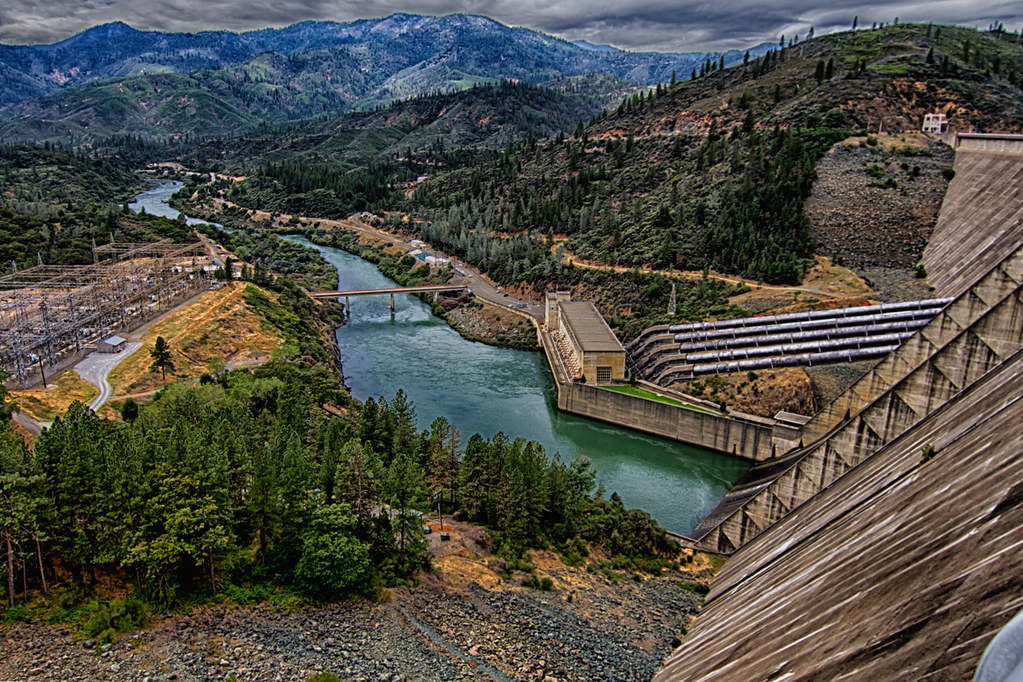
Shasta Dam Overlook 1533
selfportrait canon naturallight 5dmarkii 70200mmf28lisiiusm cinemastylephotography
Self Portrait - 3
square squareformat normal iphoneography instagramapp uploaded:by=instagram foursquare:venue=4b0e1a9bf964a520085523e3
View just now from the hotel room. #sunset #colorful #clouds #sky #evening #winter #redding #california #roadtrip #Creation #beauty #ipod #ipodtouch #igdaily #igaddicts #instagold #instagood #instagram
california ca mountain lake mt mount mtn shasta dame konomark
Mt. Shasta
california unitedstates redding hiltongardeninn
Morning View
selfportrait canon naturallight 5dmarkii 70200mmf28lisiiusm
Self Portrait - 2
unionpacific9900
Redding, CASD59MX-UP 9900
autumn whiskeytown brandycreek
Heart of Gold (Brand Creek)
california longexposure travel vacation water river landscape photography nikon stream unitedstates shastalake frenchgulch d7100 littlebackbonecreek
Crystal Clear - Shasta National Forest, CA, USA
california longexposure travel vacation water landscape photography waterfall nikon rocks unitedstates shastalake frenchgulch d7100 photographersontumblr
Tears of Solitude
california ca blue light sunset mountain lake mountains reflection nature water forest canon landscape eos mirror woods pretty mark wide scenic national valley norcal westcoast f28 mk recreational whiskeytown ultrawideangle 14mm 14l 35d f28l areanational 5d3 iii5d arearecreational areawhiskeytown angle5dmk35dmkiii5d iiiwhiskeytown
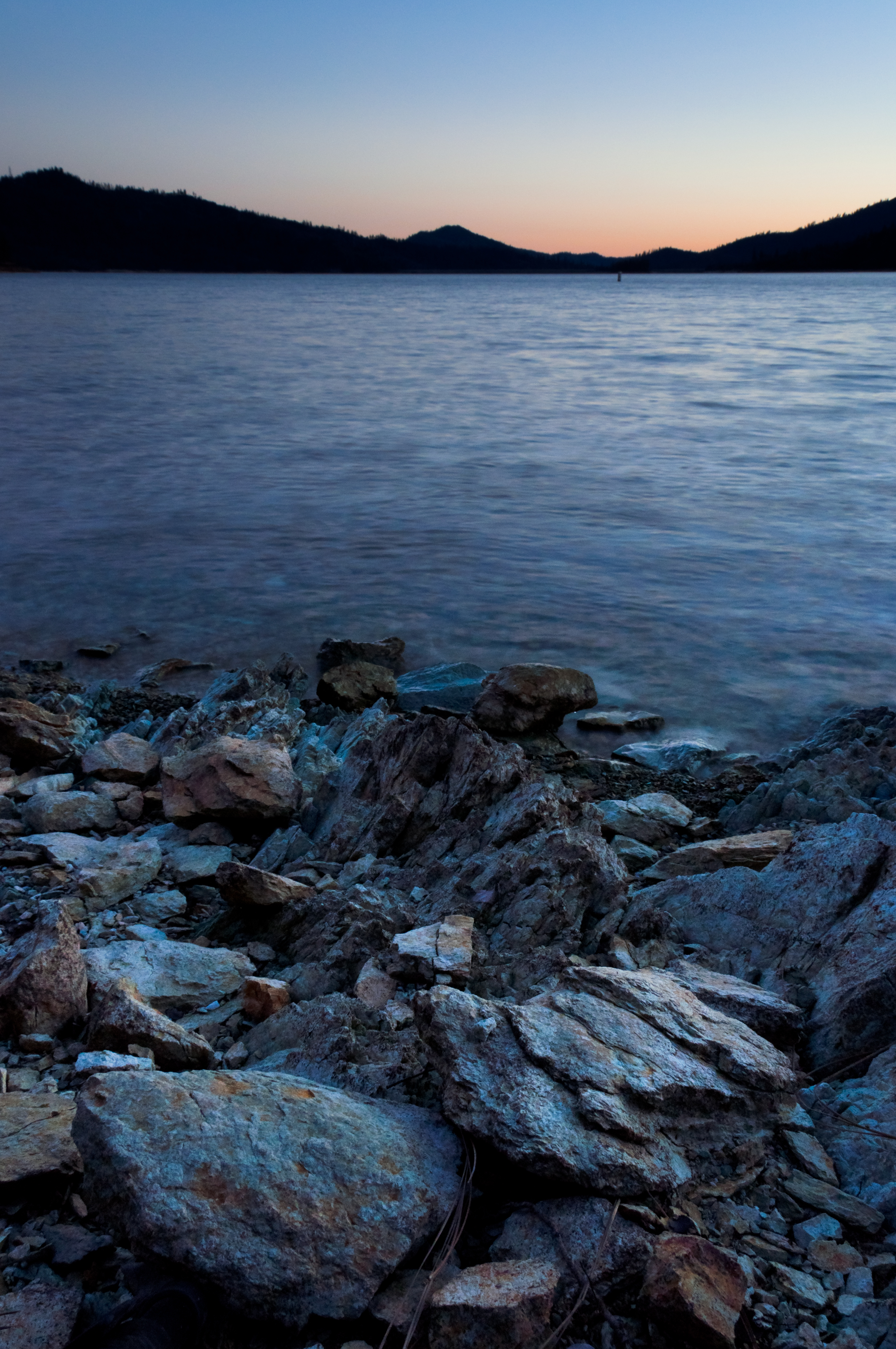
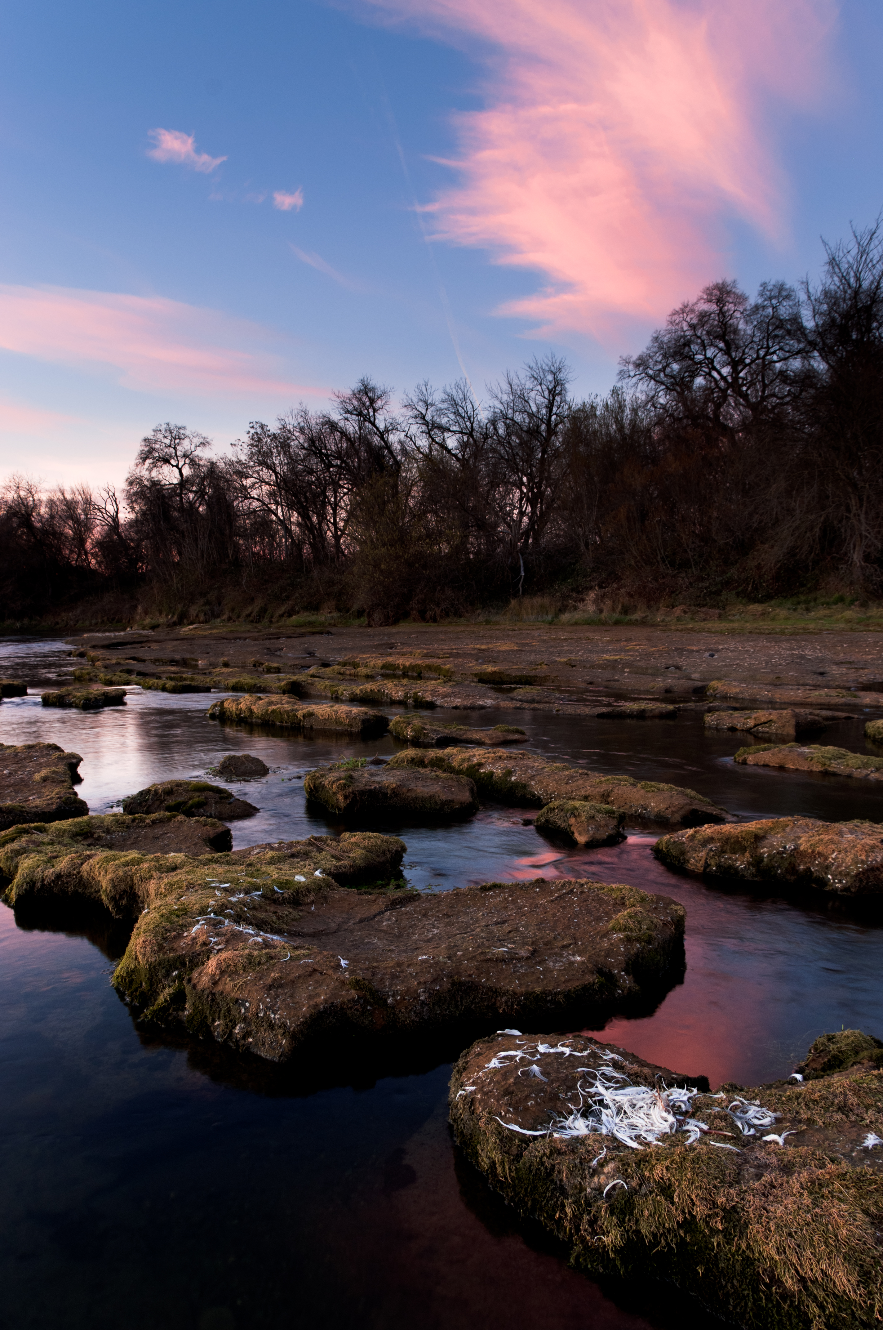
Whiskeytown Lake Sunset [04.02.13]
california ca autumn creek waterfall whiskeytown brandycreek
There we go (Brandy Creek)
california water creek landscape waterfall moss unitedstates whiskeytown brandycreek lowerbrandycreekfalls
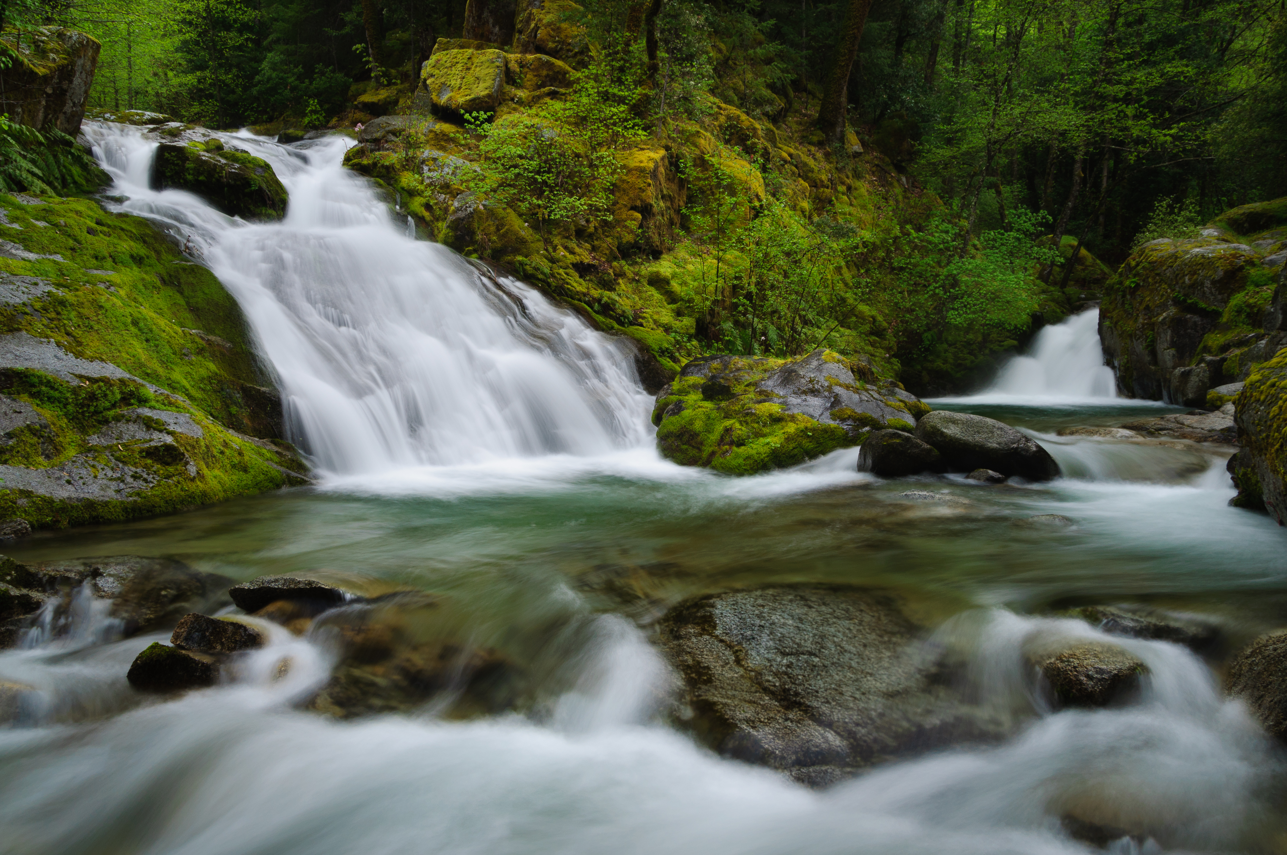
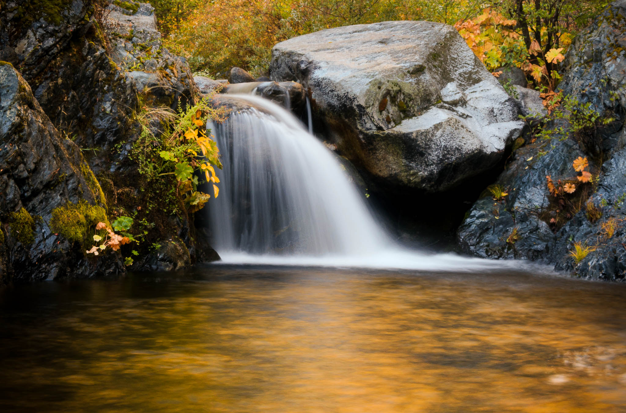
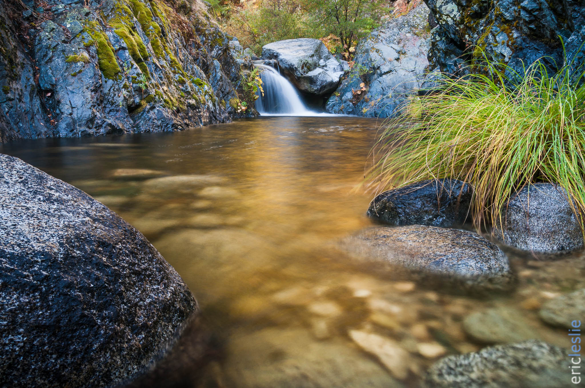
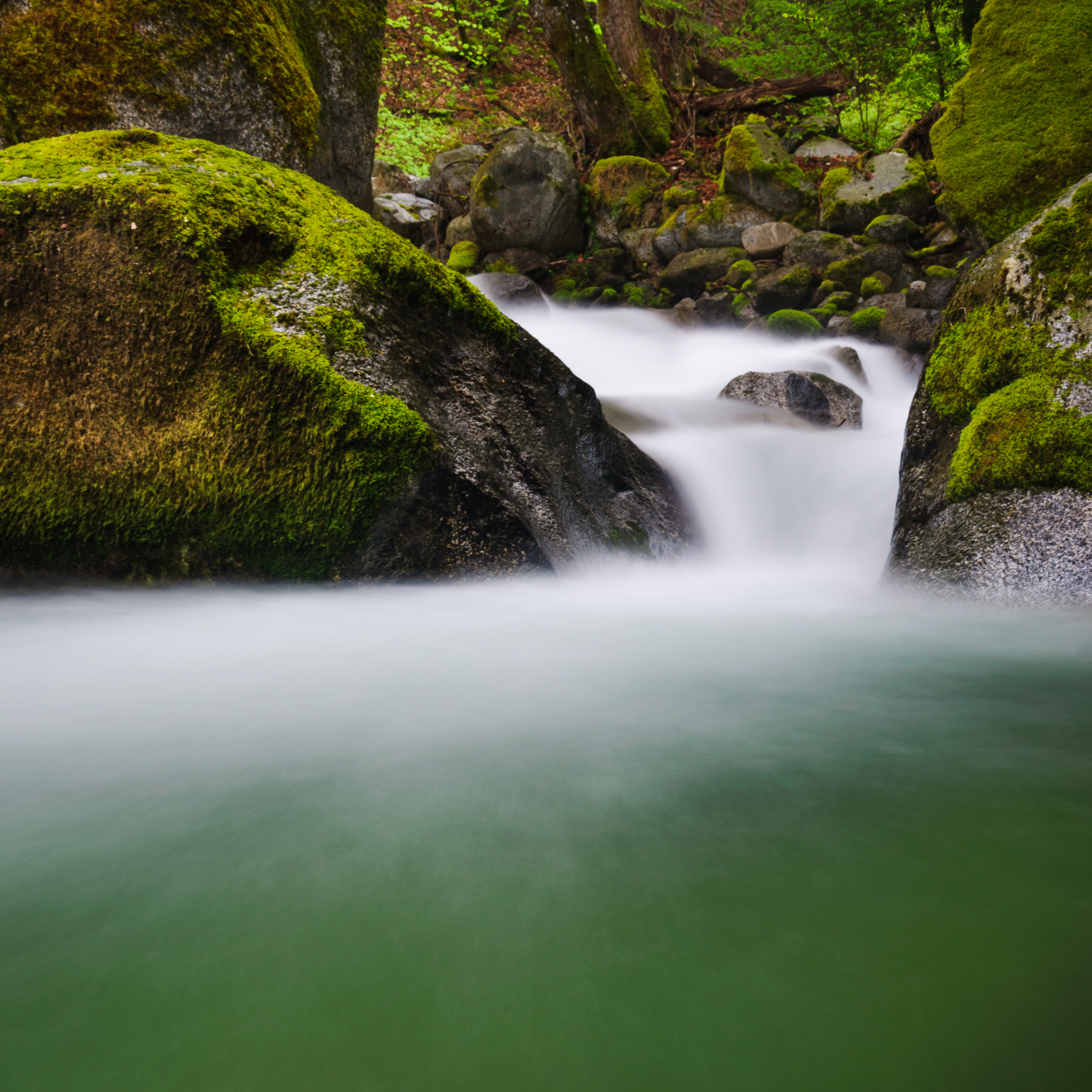
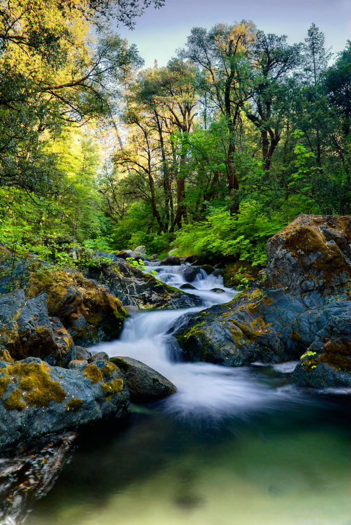
Lower Brand Creek Falls (Been a Long Time Coming)
california ca fern water creek moss cascade redding whiskeytown brandycreek
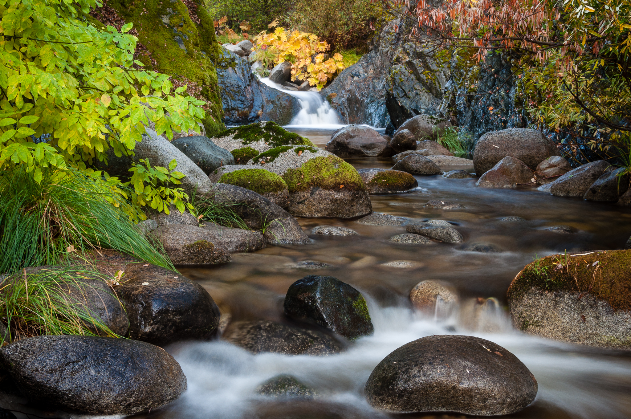
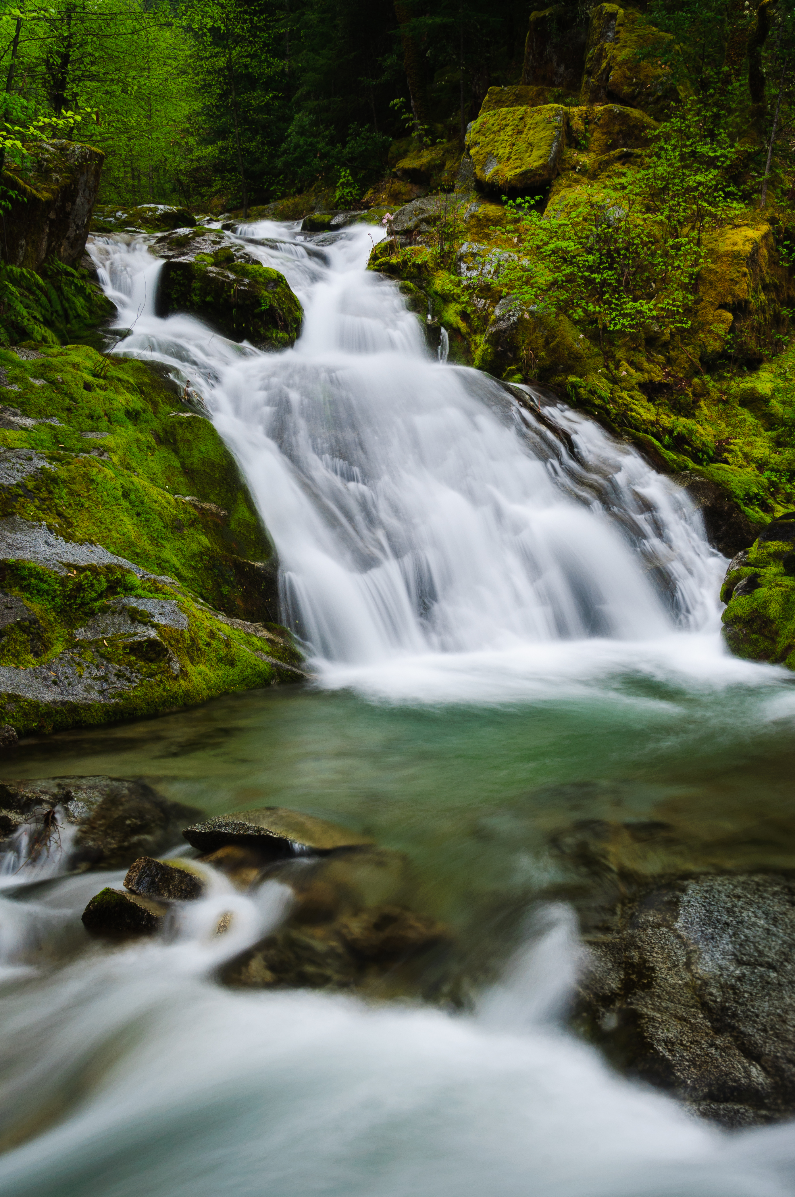
Brand Creek (Hold On)
southernpacific amtrak gp60 sp spshastaroute shastacascadewonderland excursiontrain emd amtk amtrakexcursion railroads trains trestle
Almost there
ca sunset water us solitude peaceful simple redding lowwater whiskeytown whiskeytownlake d90 quietude rockyshoreline nohdr nikoncpl induroakb2tripod
Quiescense - Whiskeytown Lake
california ca autumn river waterfall cascade redding beargrass whiskeytown brandycreek indianrhubarb
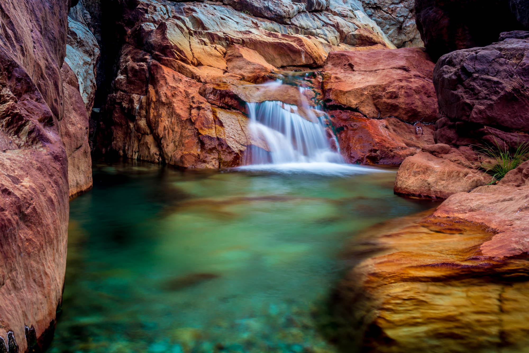
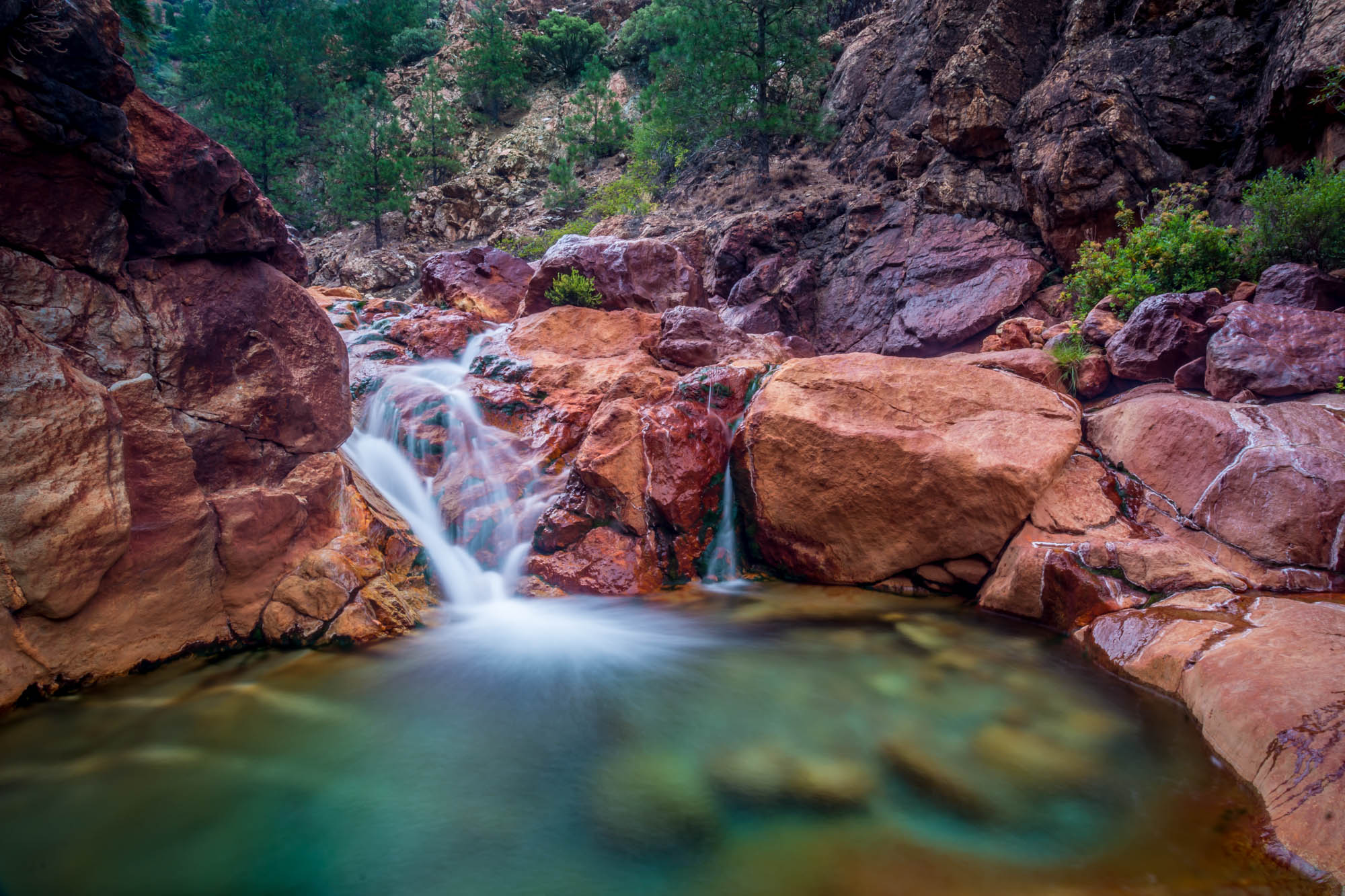
Golden Ticket (Brandy Creek Falls)
california water creek landscape waterfall moss unitedstates whiskeytown brandycreek richgulchfalls
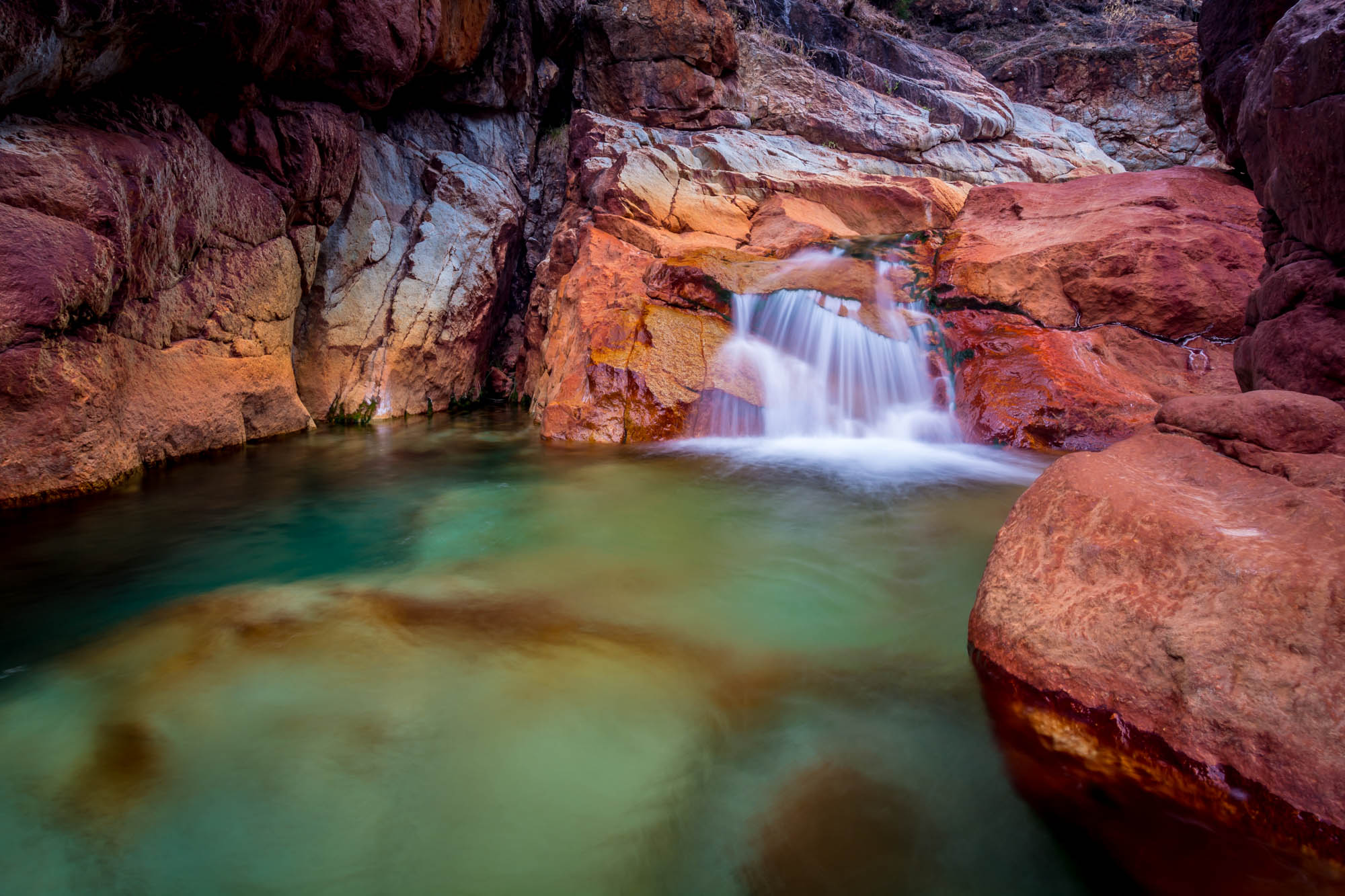
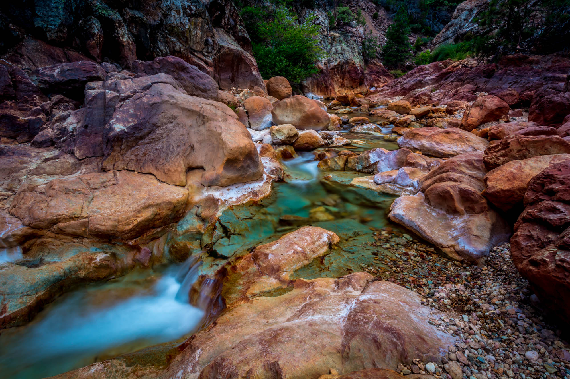
Rich Gulch Falls (Bloomed for You)
ca lake snow reflection water rock clouds landscape clarity whiskeytown lowlake nothdr
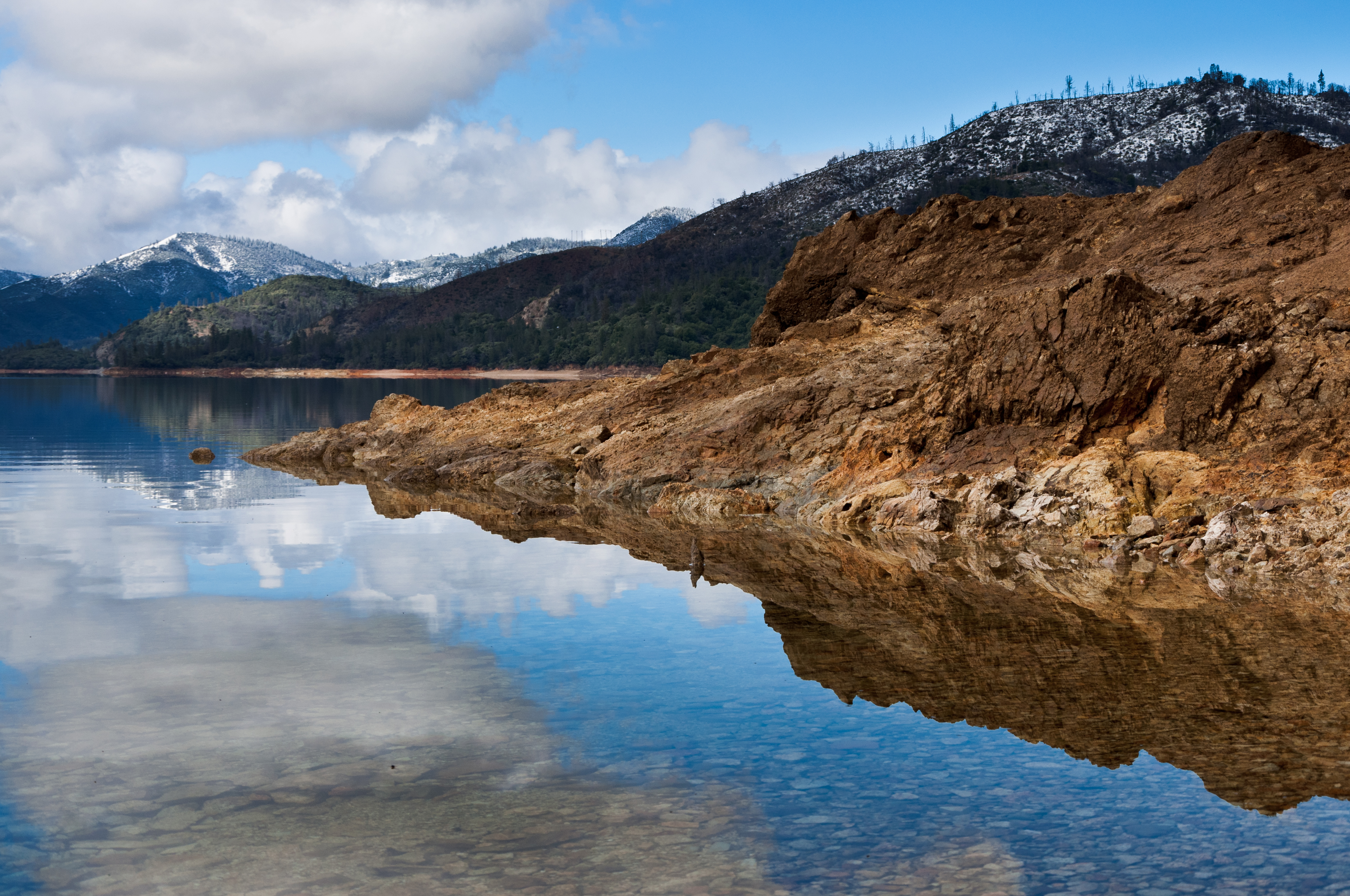
Reflecting on Whiskeytown Lake
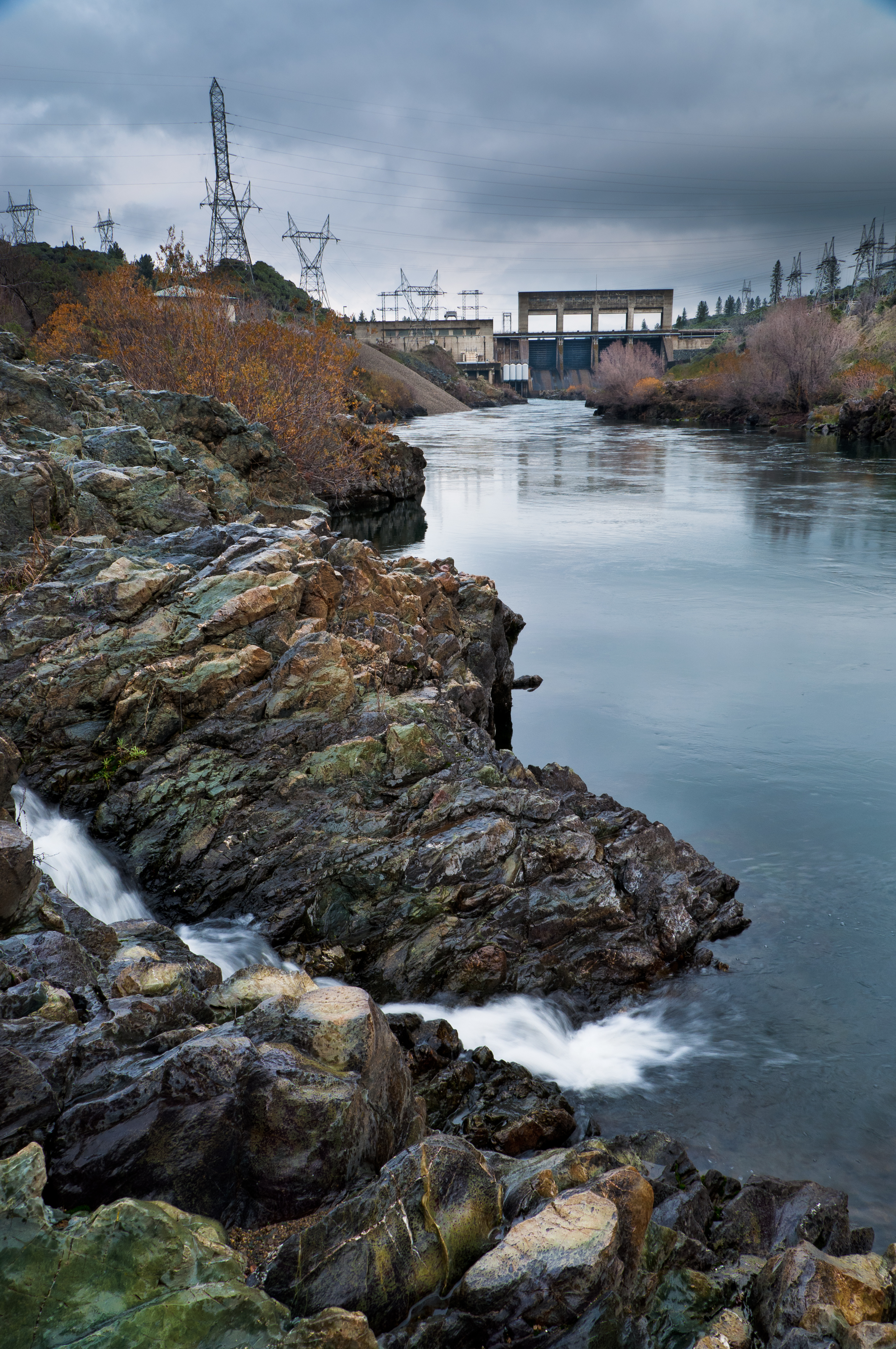
ca rain creek us waterfall reservoir boulders powerlines redding keswick sacramentoriver bedrock keswickdam
Keswick Dam
green creek landscape moss cascade whiskeytown brandycreek
Brandy Creek (Least Expectations)
california longexposure travel vacation water colors river landscape photography waterfall nikon rocks stream unitedstates shastalake frenchgulch d7100 littlebackbonecreek photographersontumblr
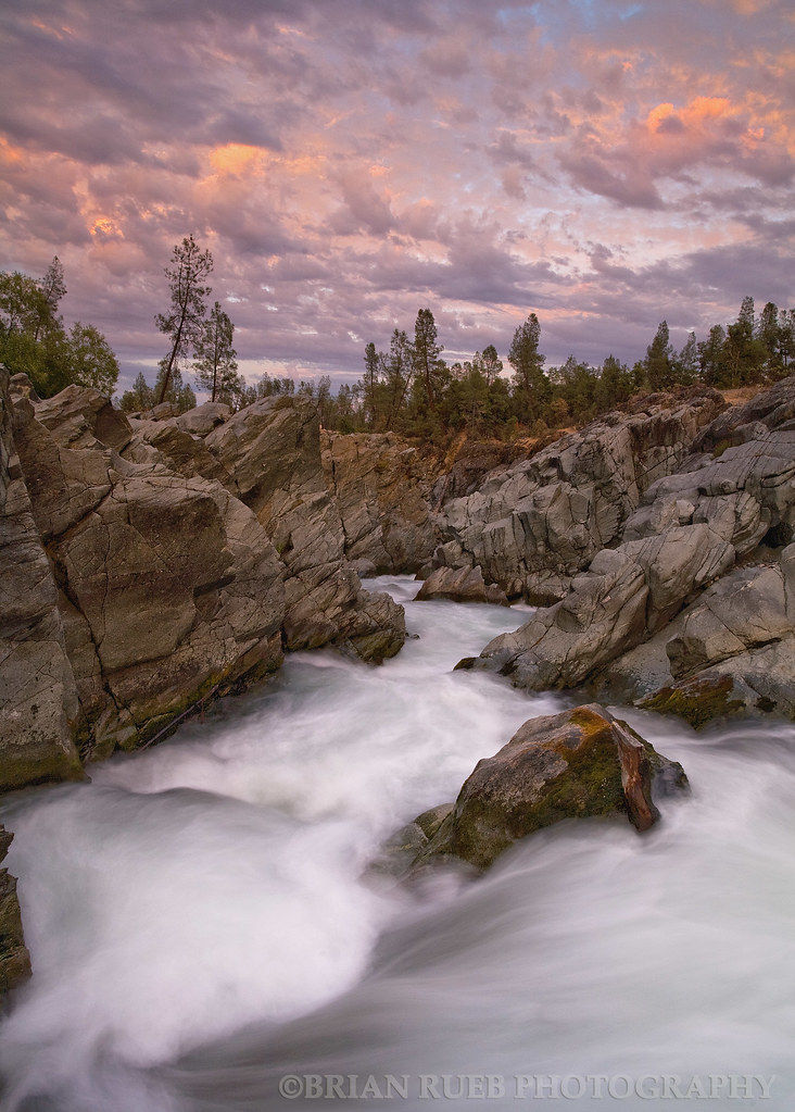
Valley of Colors - Little Backbone Creek, Shasta Lake, CA, USA
ca sunset bird rock stone landscape dead death us feathers bones redding sacramentoriver furrows lifecycle carcas nohdr
Beautiful Ending
california longexposure travel vacation water river landscape photography waterfall nikon rocks stream unitedstates shastalake frenchgulch d7100 littlebackbonecreek photographersontumblr
Little Backbone Creek, Shasta Lake, CA, USA
california reservoir whiskeytownlake
Whiskeytown Lake, California, USA
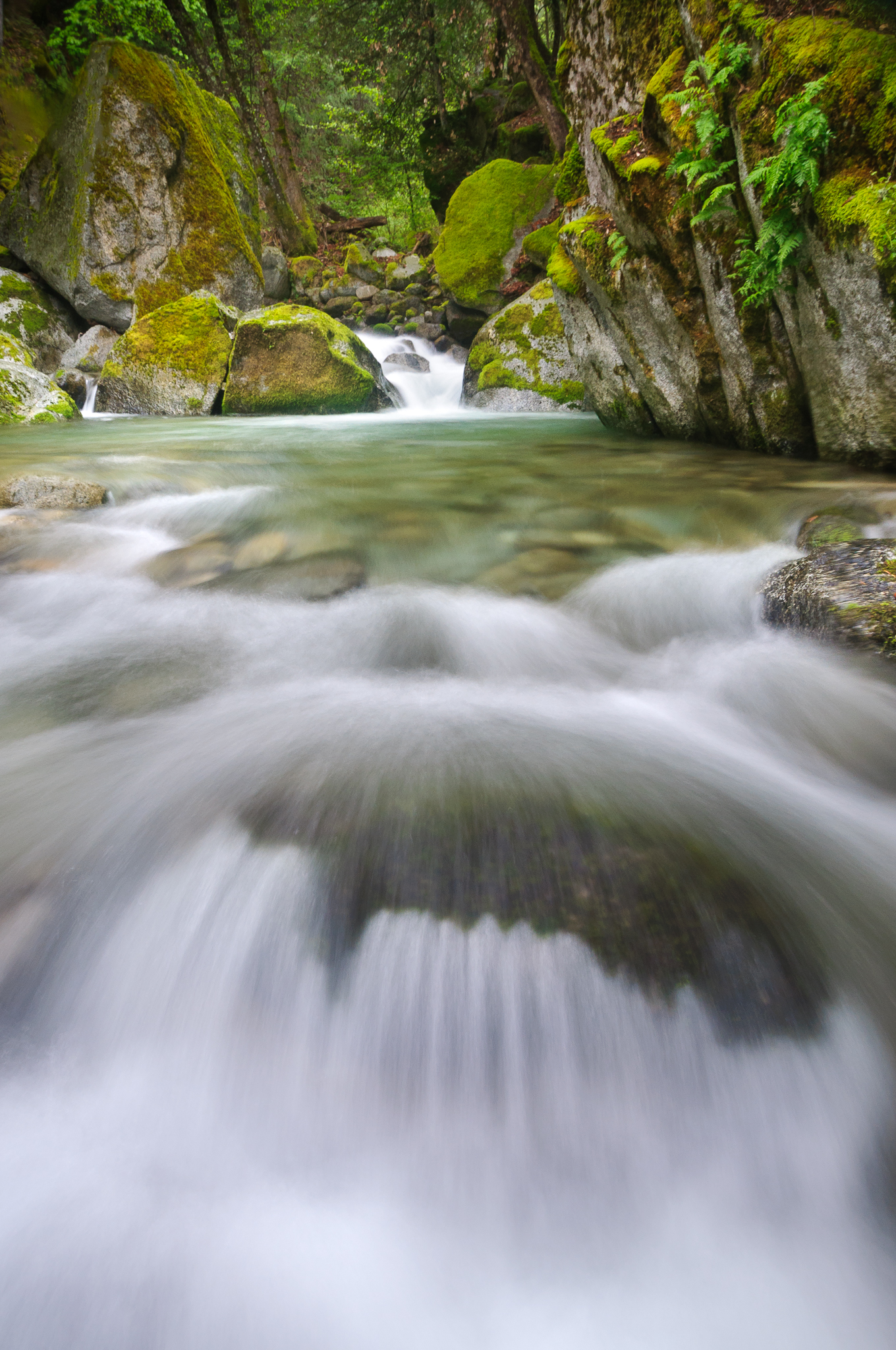
pink trees sunset orange nature water clouds landscape outdoors movement rocks searchthebest rapids waterblur purples visiongroup brianruebphotography vision100 cearcreek
Clear Creek
park longexposure nature water northerncalifornia forest waterfall nikon filter lee nd tropical d200 redding 18200 whiskeytown brandycreek
Brandy Creek 2
brandycreek
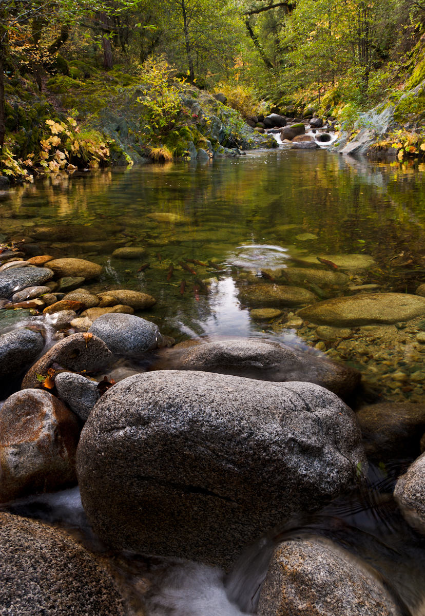
Salmon in Brandy Creek