Elevation of Underwood Dr, Redding, CA, USA
Location: United States > California > Shasta County > Redding >
Longitude: -122.38083
Latitude: 40.6148112
Elevation: 217m / 712feet
Barometric Pressure: 99KPa
Elevation Map:
Satellite Map:
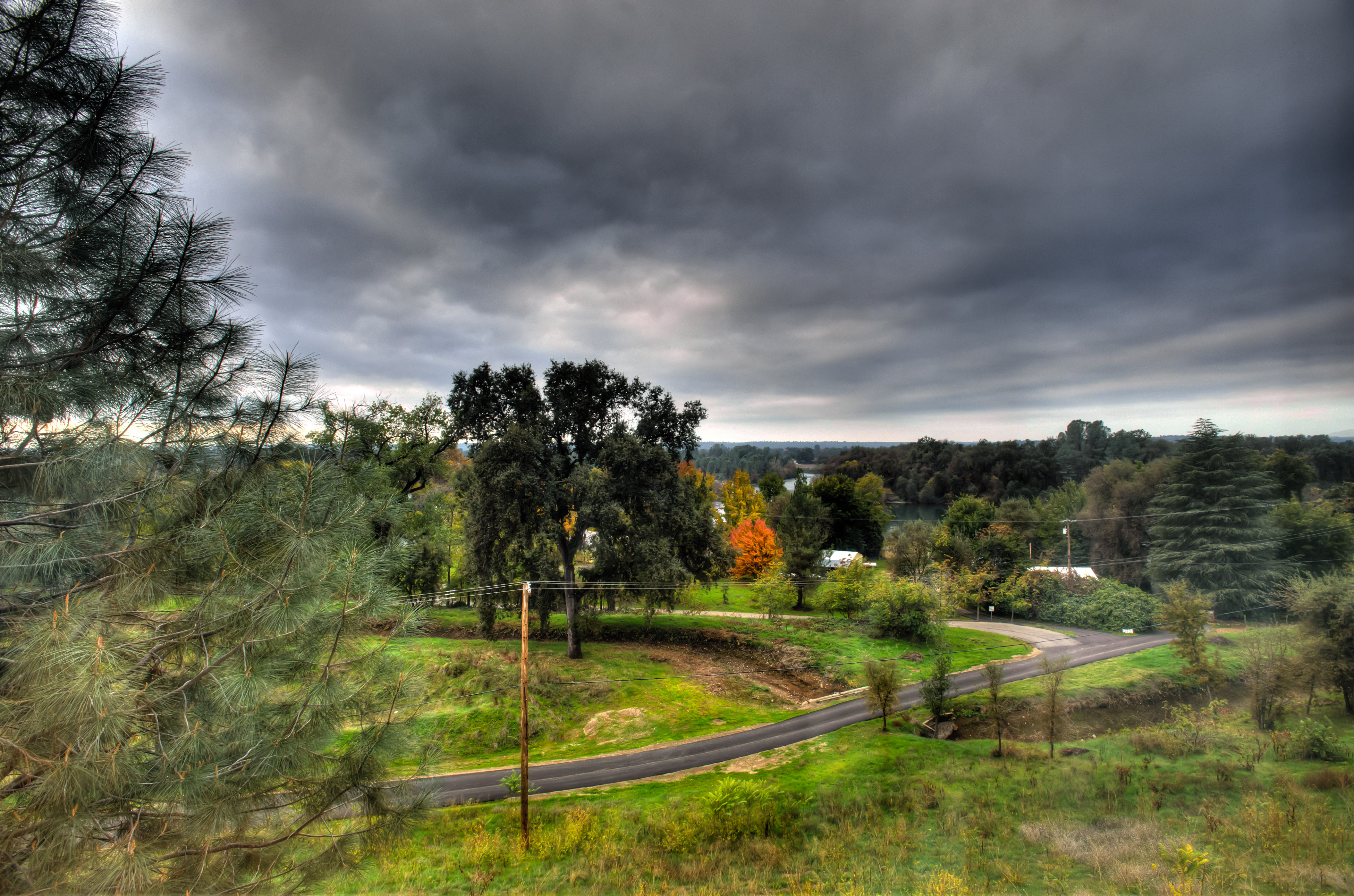
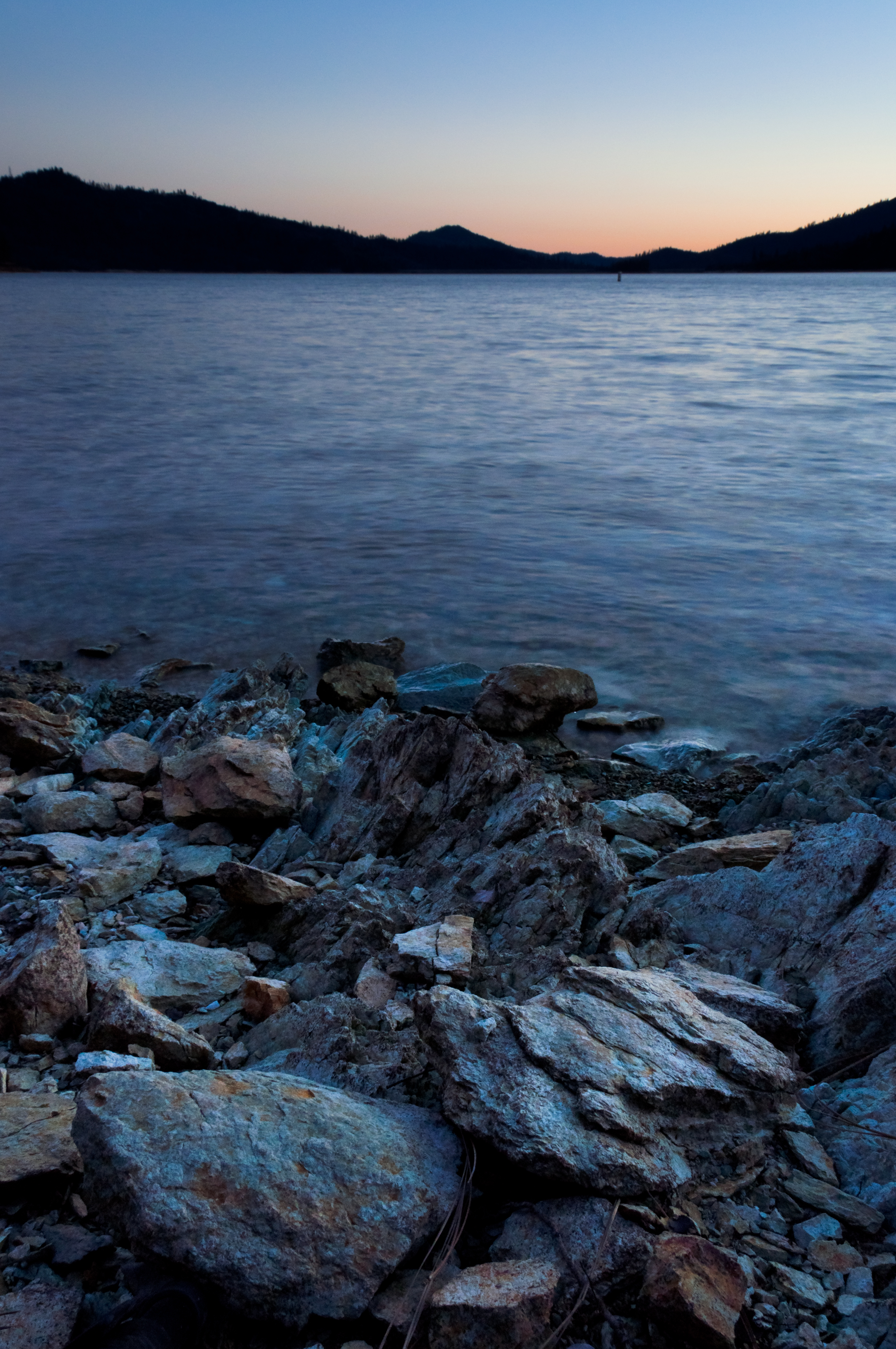
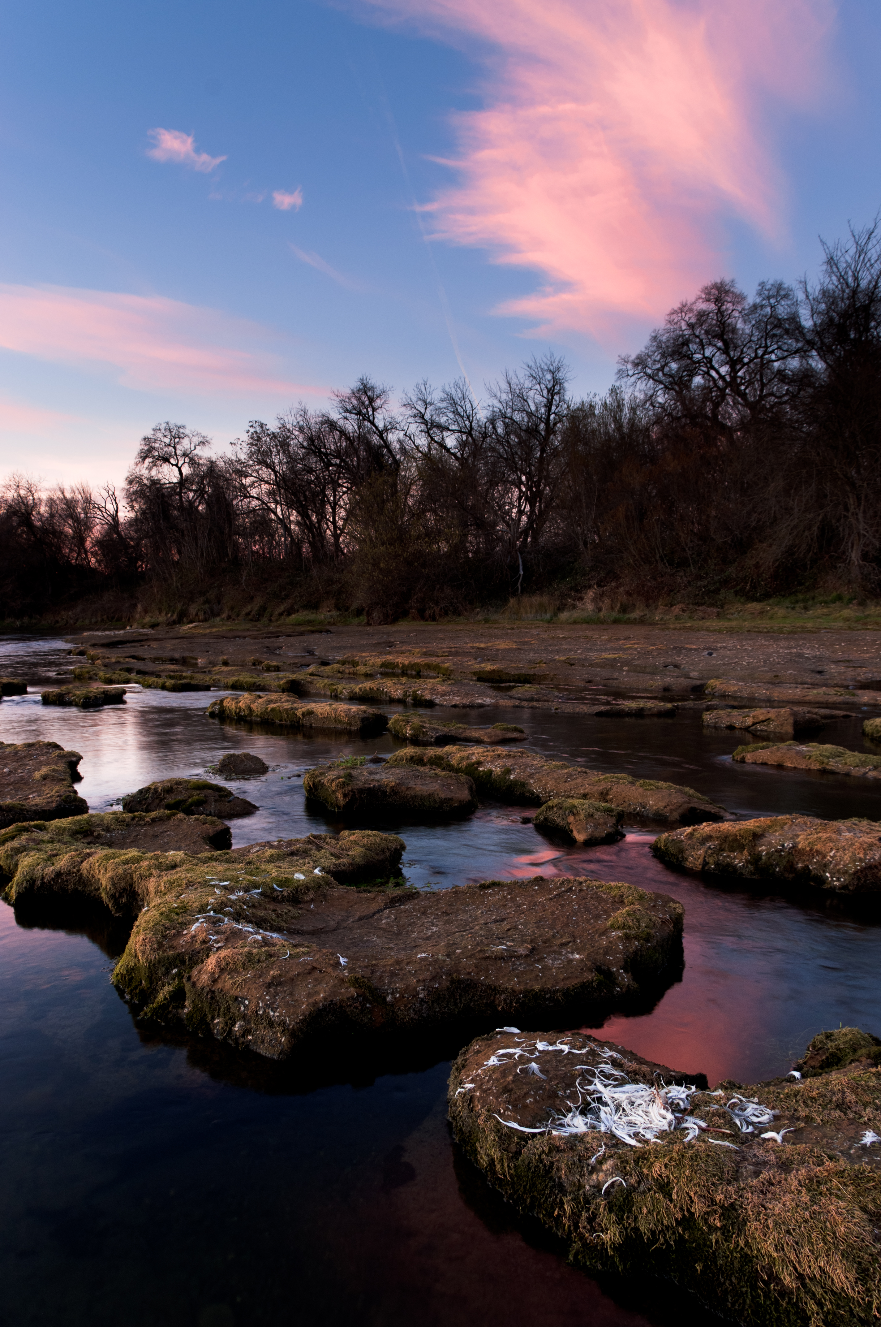
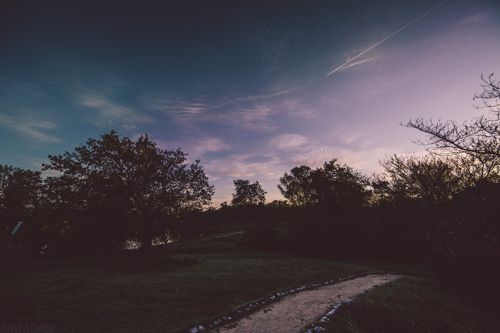
Related Photos:

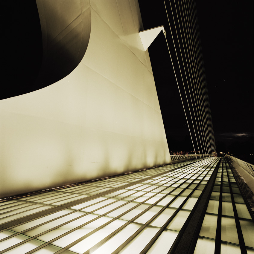
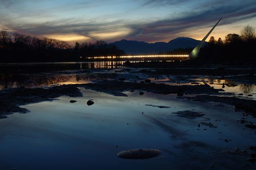
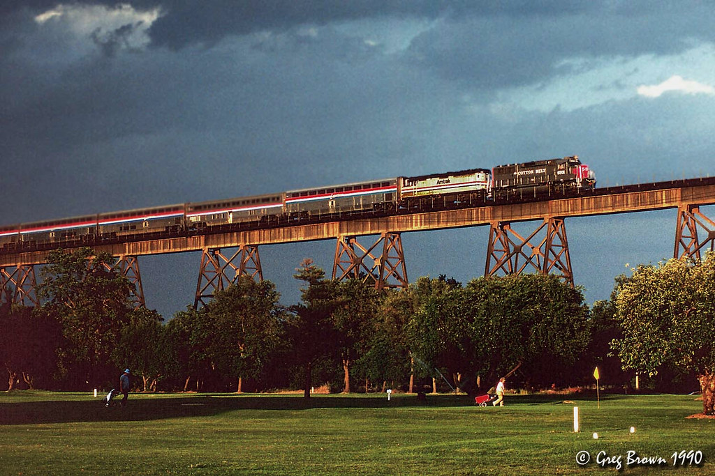
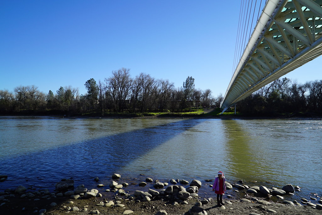
Sundial Bridge at Turtle Bay (II)

Sundial Bridge Lightning, The Sundial Bridge, Redding, CA

Sundial Bridge at Turtle Bay
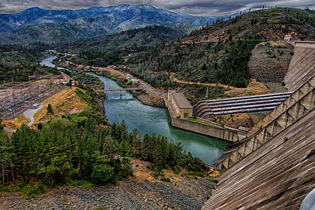
Shasta Dam Overlook 1533
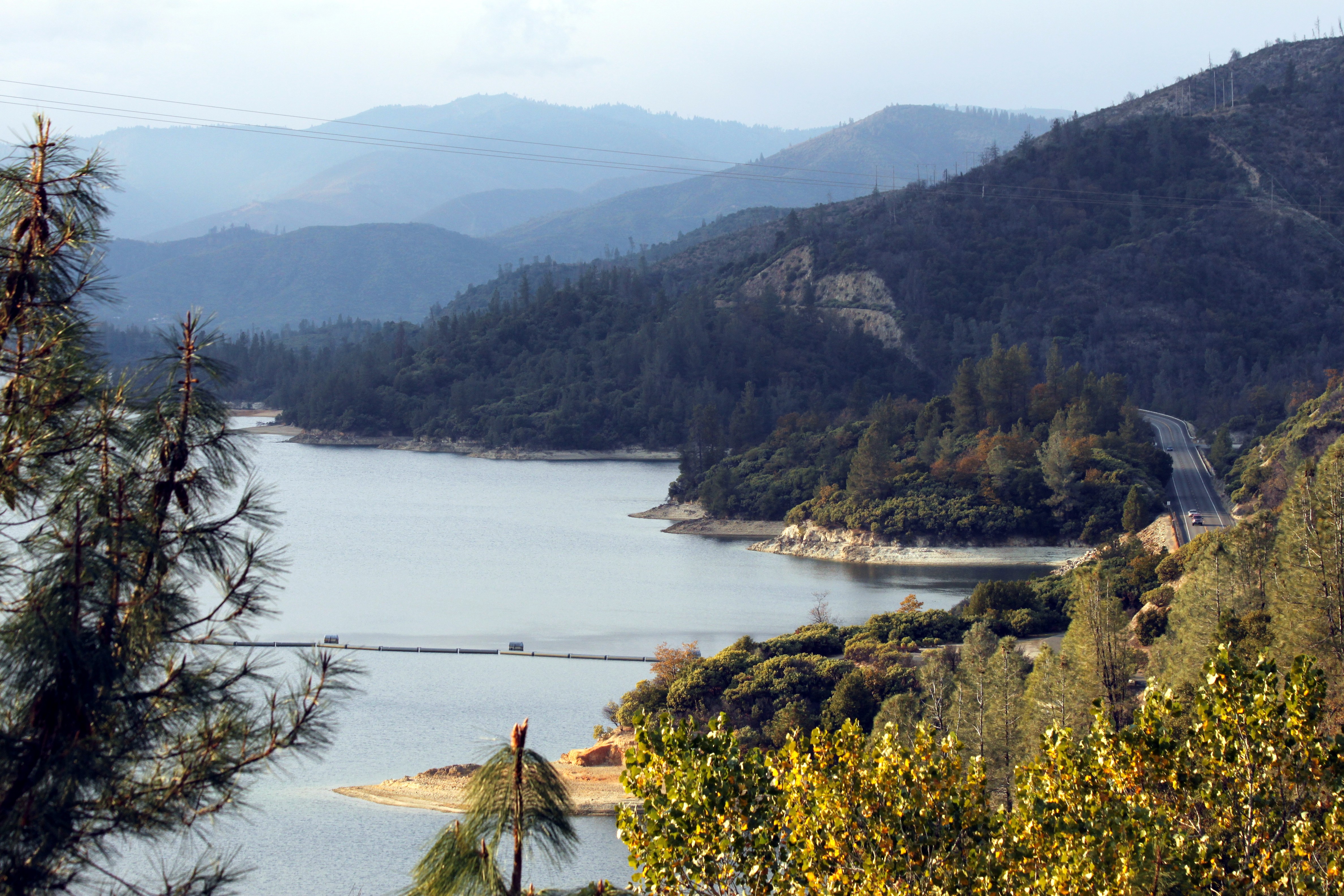
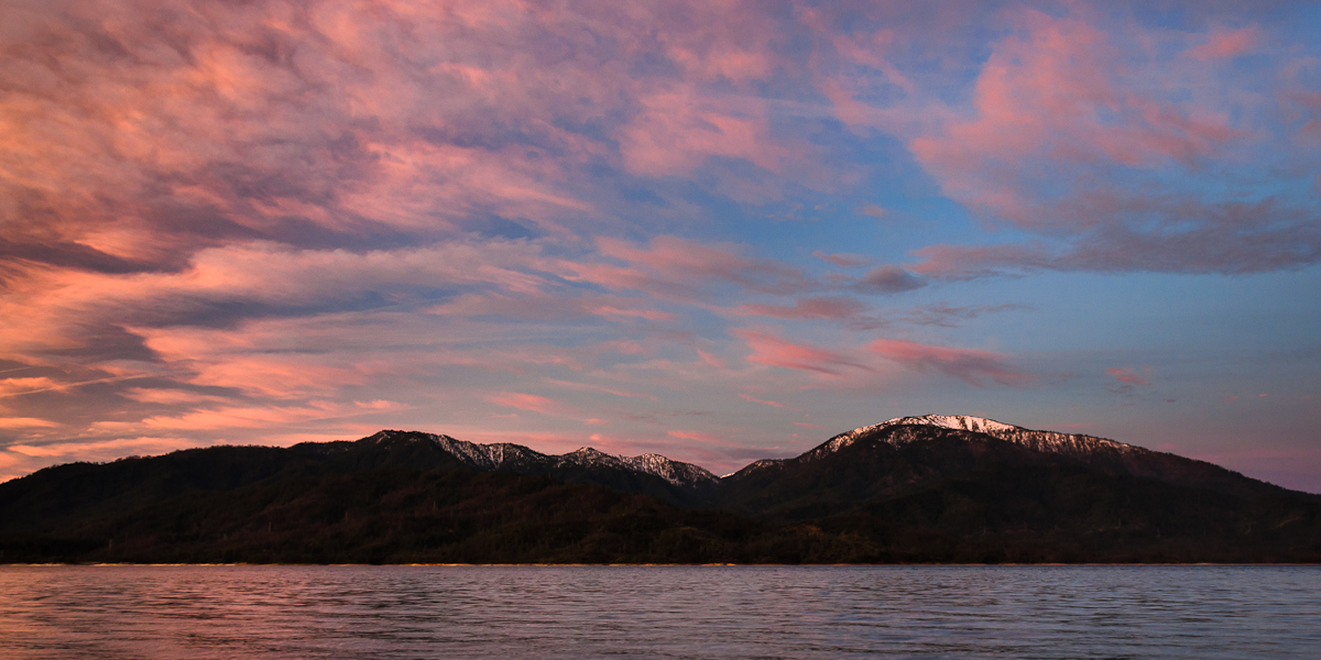
Whiskeytown Lake

Self Portrait - 1

Sundial Bridge at Turtle Bay Exploration Park facing Sacramento River west view in Redding, California.

Sundial Bridge at Turtle Bay Exploration Park facing southeast view in Redding, California.

Sundial Bridge at Turtle Bay Exploration Park facing west view in Redding, California.

Mt. Shasta

Sundial Bridge at Turtle Bay Exploration Park facing north view in Redding, California.

Sundial Bridge at Turtle Bay Exploration Park facing south view in Redding, California.

Calatrava's Sundial Bridge, Redding, California

Changed hotels. Here's the view from the room - sunset on the Sacramento River. #roadtrip #redding #california #hotel #view #Sacramento #river #instagold #instagood #instagram #igdaily #igaddicts #ipodtouch #ipod
Learning to Glow
Sundial Bridge, Redding

Sunset over Sacramento River

Self Portrait - 3

View just now from the hotel room. #sunset #colorful #clouds #sky #evening #winter #redding #california #roadtrip #Creation #beauty #ipod #ipodtouch #igdaily #igaddicts #instagold #instagood #instagram

Mt. Shasta
Morning View
Quiescense - Whiskeytown Lake
Beautiful Ending
Sunrise at Simpson [03.29.13]
Sundial Bridge / Sacramento River
Shasta Dam Boulevard [03.28.13]
Whiskeytown Lake (Rekindled Expectations)

A Path of Exploration and Learning - Turtle Bay Exploration Park - Redding, Shasta County, California
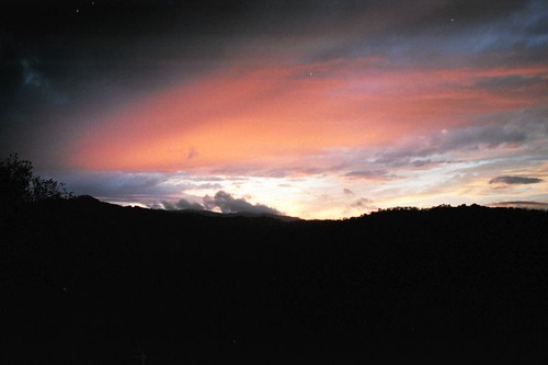
Redding Sunset

Whiskeytown Lake [04.02.13]

Whiskeytown Lake, California, USA
Almost there
John iPhone Oct 25 2018 2018-08-17 023

Sundial Bridge

Flower Save the Hours
Mount Shasta

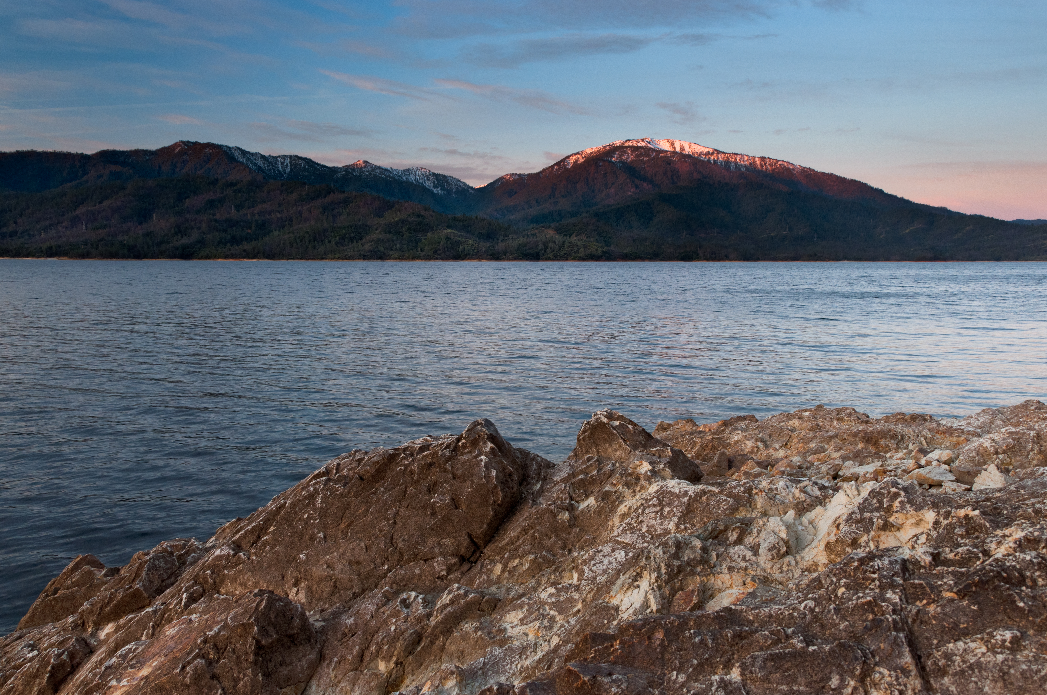
Lake Shasta
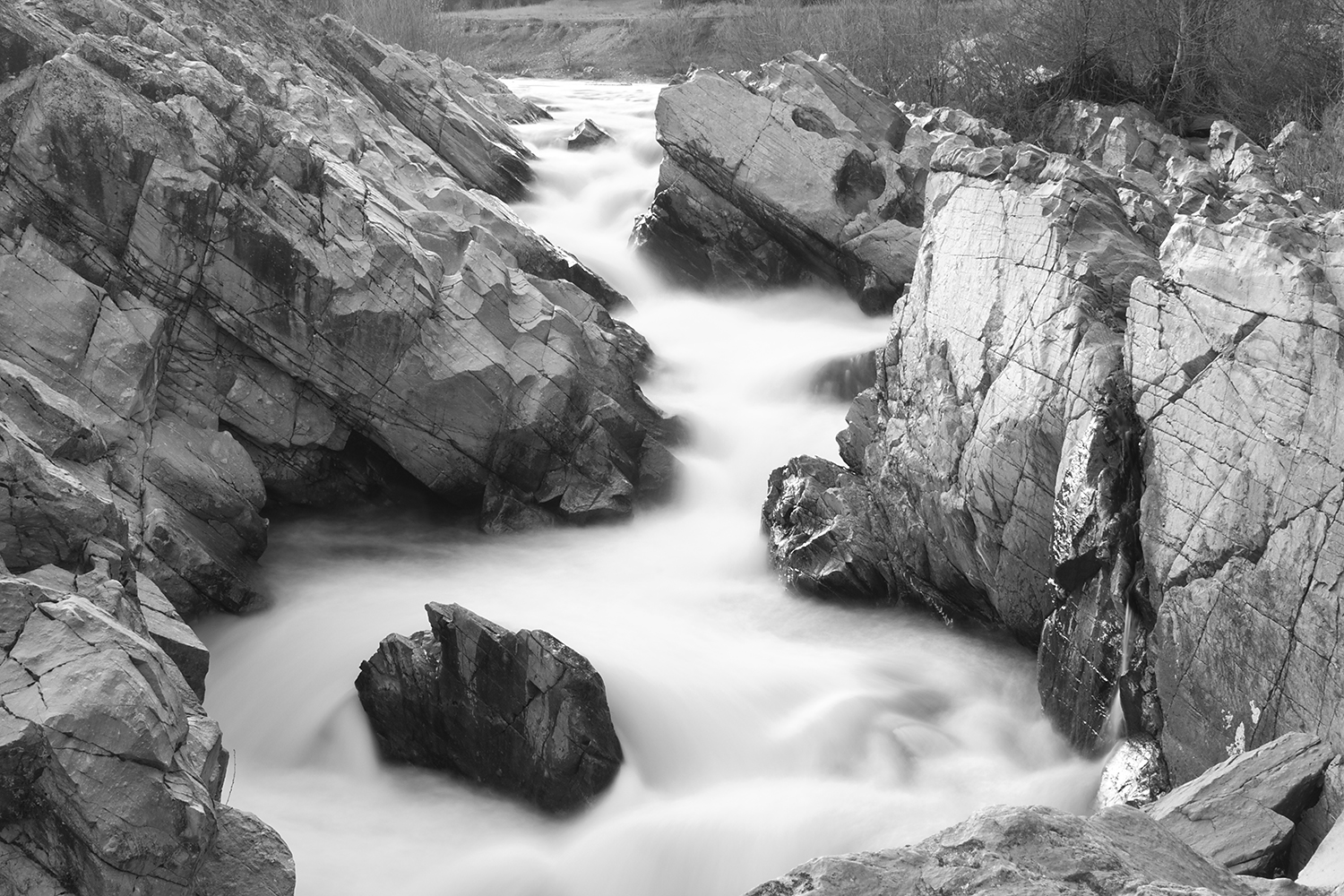
Clear Creek, near Redding
Topographic Map of Underwood Dr, Redding, CA, USA
Find elevation by address:

Places near Underwood Dr, Redding, CA, USA:
4480 Alder St
4544 Hickory Trail
481 Twin View Blvd
146 Woodhill Dr
Mountain Lakes Industrial Park
4650 Caterpillar Rd
4356 Caterpillar Rd
598 Ridge Rd
Woodcliff Estates
Mountain View Drive
Twinview
Midway
5849 Fairmont Dr
1235 Bonhurst Dr
Oasis Road
Twin View Boulevard
1950 Gold Hills Dr
132 Yolla Bolly Trail
Shasta Hills Estates
416 Mammoth Path
Recent Searches:
- Elevation of Corso Fratelli Cairoli, 35, Macerata MC, Italy
- Elevation of Tallevast Rd, Sarasota, FL, USA
- Elevation of 4th St E, Sonoma, CA, USA
- Elevation of Black Hollow Rd, Pennsdale, PA, USA
- Elevation of Oakland Ave, Williamsport, PA, USA
- Elevation of Pedrógão Grande, Portugal
- Elevation of Klee Dr, Martinsburg, WV, USA
- Elevation of Via Roma, Pieranica CR, Italy
- Elevation of Tavkvetili Mountain, Georgia
- Elevation of Hartfords Bluff Cir, Mt Pleasant, SC, USA