Elevation of Lake Blvd, Redding, CA, USA
Location: United States > California > Shasta County > Redding >
Longitude: -122.39424
Latitude: 40.645883
Elevation: 227m / 745feet
Barometric Pressure: 99KPa
Elevation Map:
Satellite Map:
Related Photos:

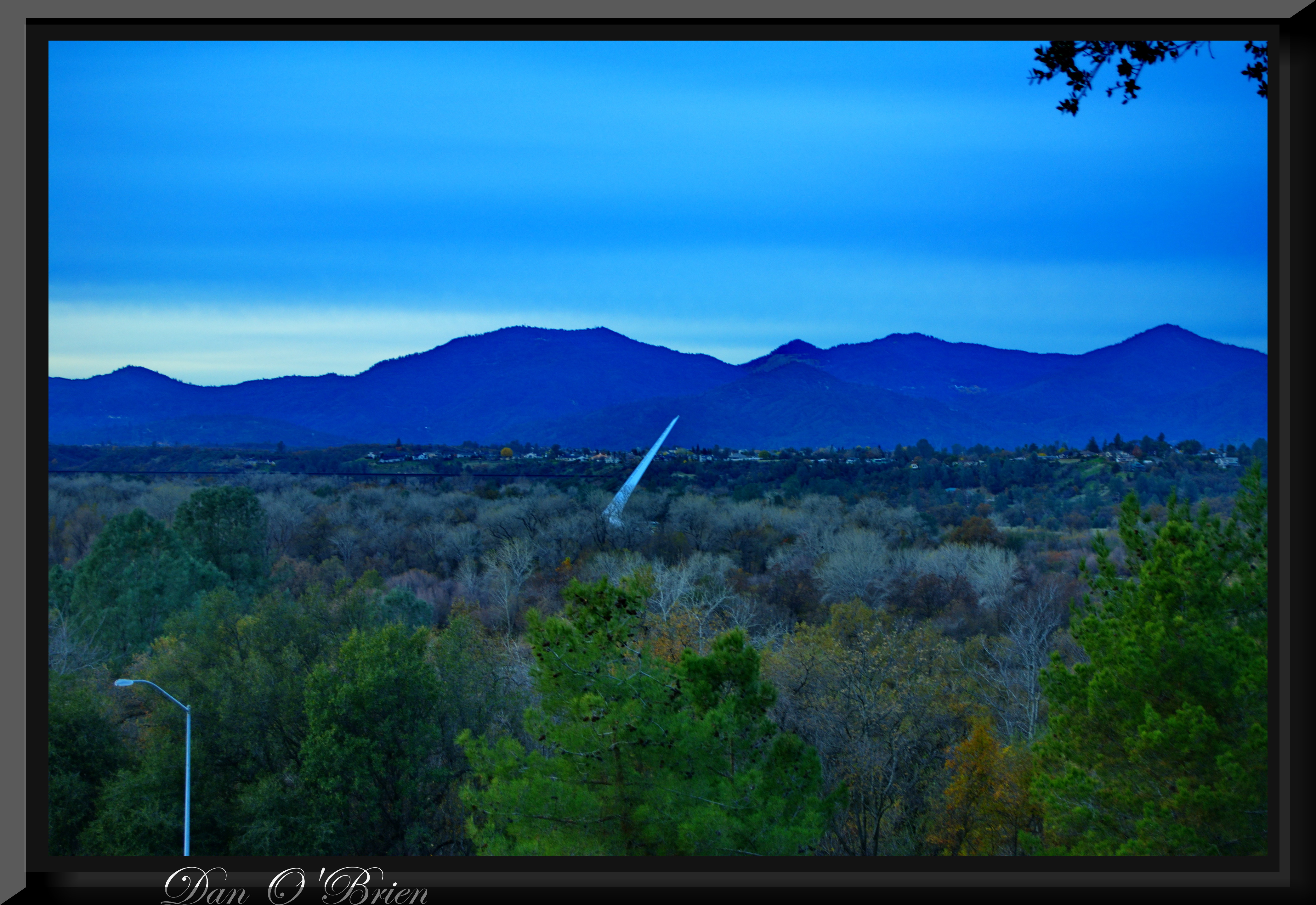
Sundial Bridge at Turtle Bay (II)

Sundial Bridge Lightning, The Sundial Bridge, Redding, CA

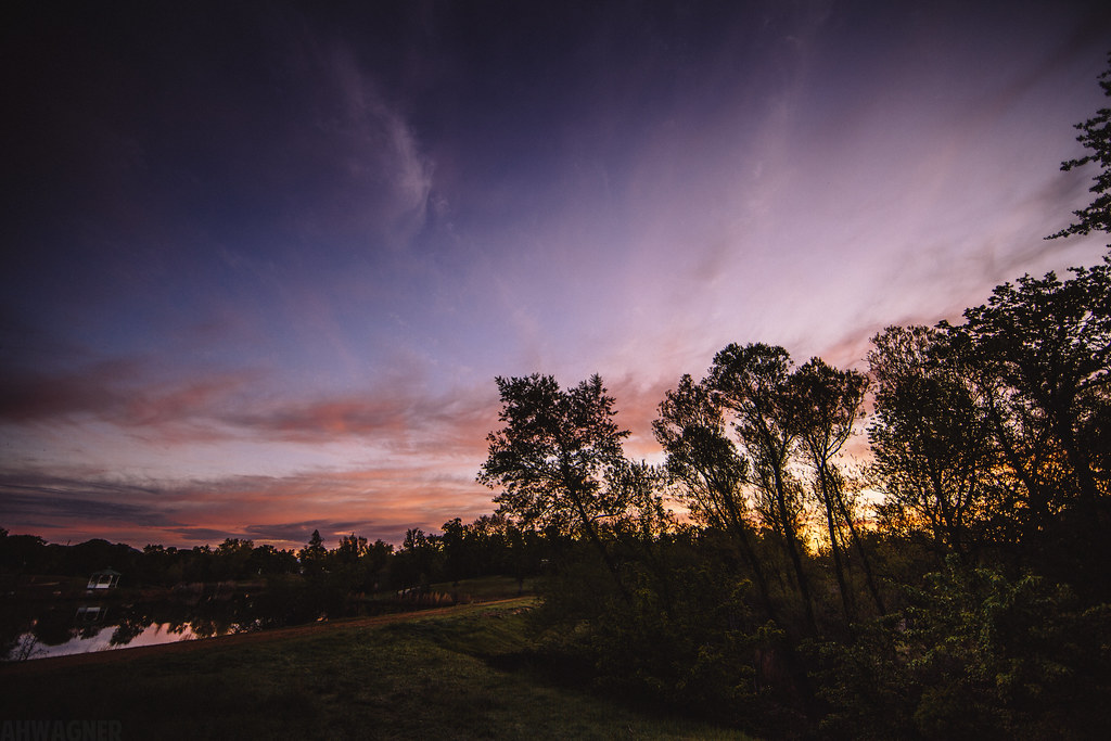
Sunset over Sacramento River
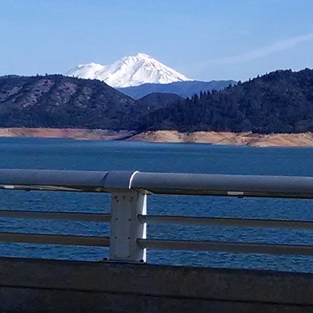
A beautiful view of Mt. Shasta from Shasta Dam.

Self Portrait - 2

Self Portrait - 1

Bald Eagle with Fish in Talons - This is "Liberty", the female of the nesting pair at Turtle Bay, Redding, California

View from the overflow. Who'd have though you wouldn't be able to find a seat at an 8.30am service. Love this place!

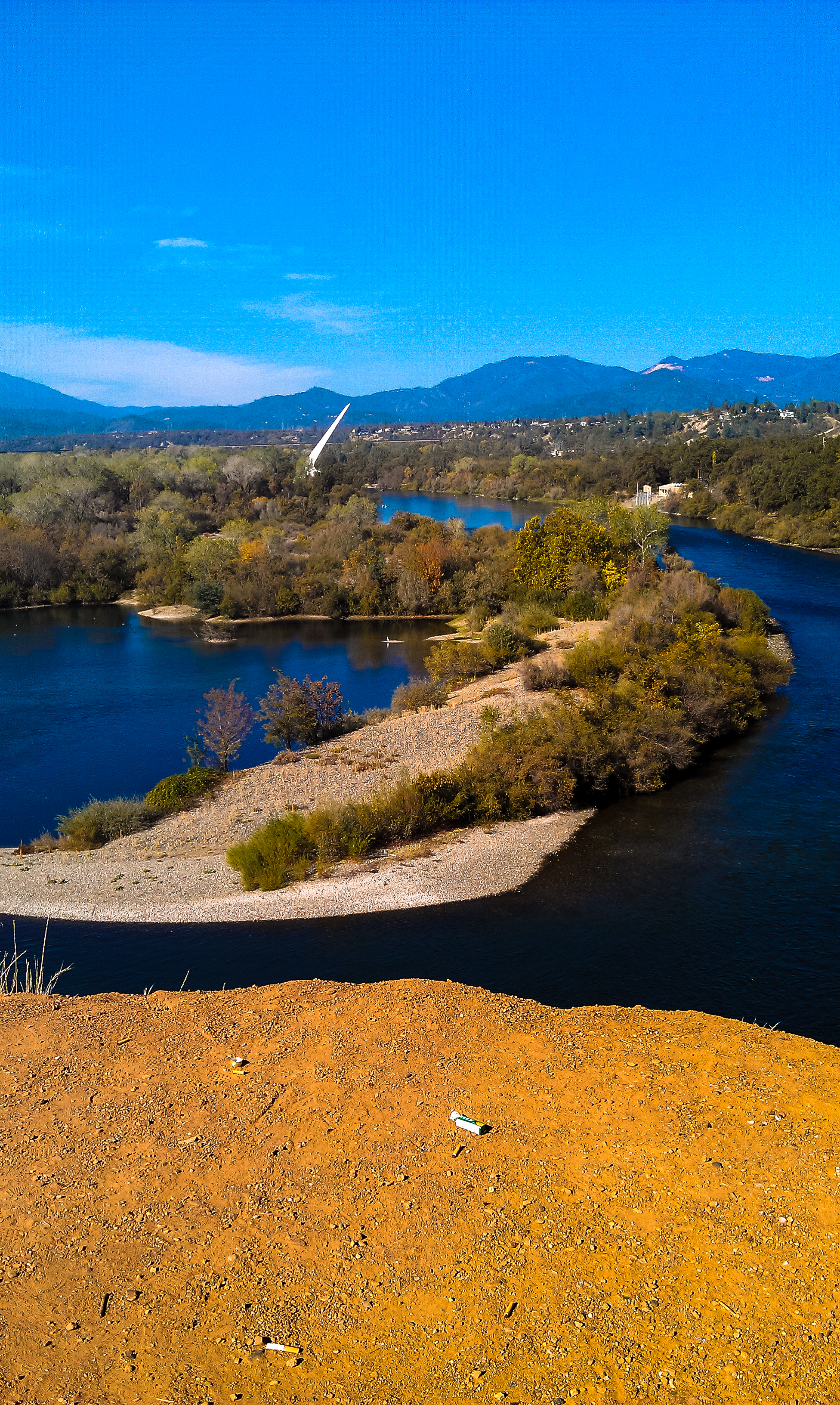
Sundial Bridge at Turtle Bay

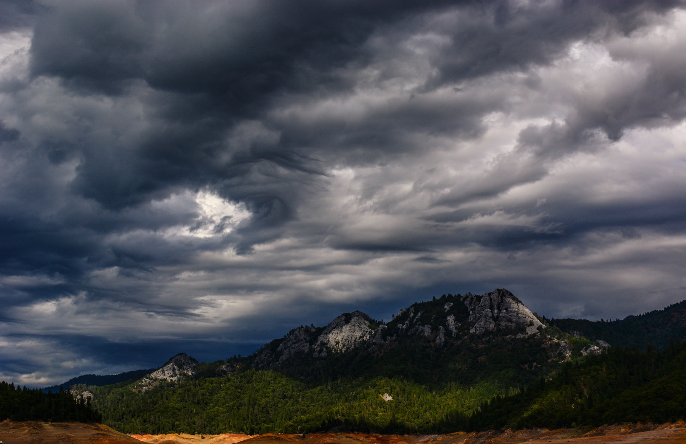
3 Shastas in HDR

View of Lake Shasta Fire Nov 3rd 2013, California

Mt. Shasta

Interstate 5 Southbound Shasta Valley Freeway approaching 1/4 = 0.25 mile to Exit 681A - Twin View Blvd. followed by Exit 680 - State Highway Junction Route CA-299 Lake Blvd. 3/4 = 0.75 miles with this overhead sign located at
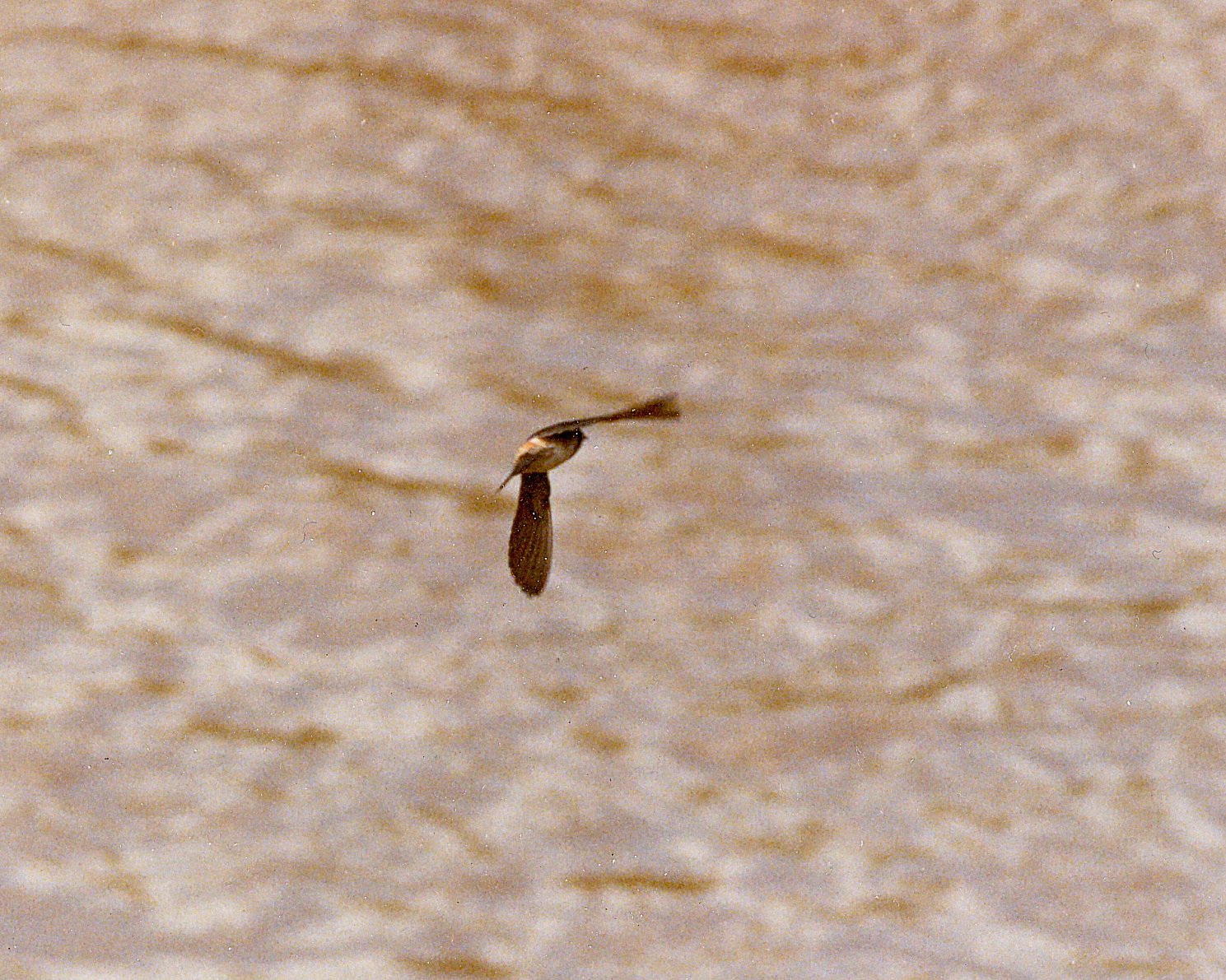
Cliff Swallow Redding 1991 7
The view leaving moms house today.
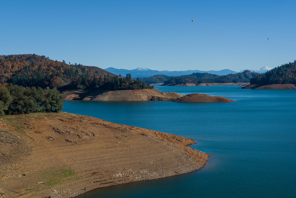
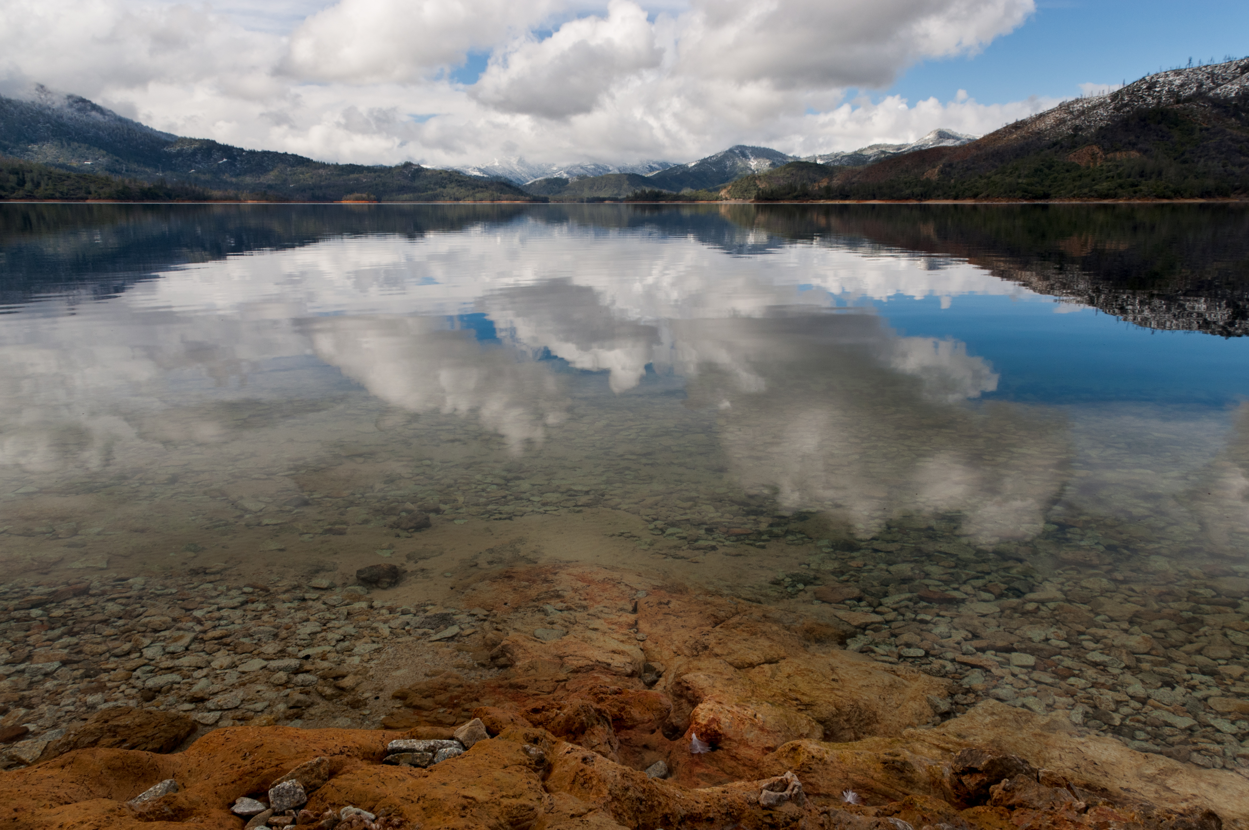
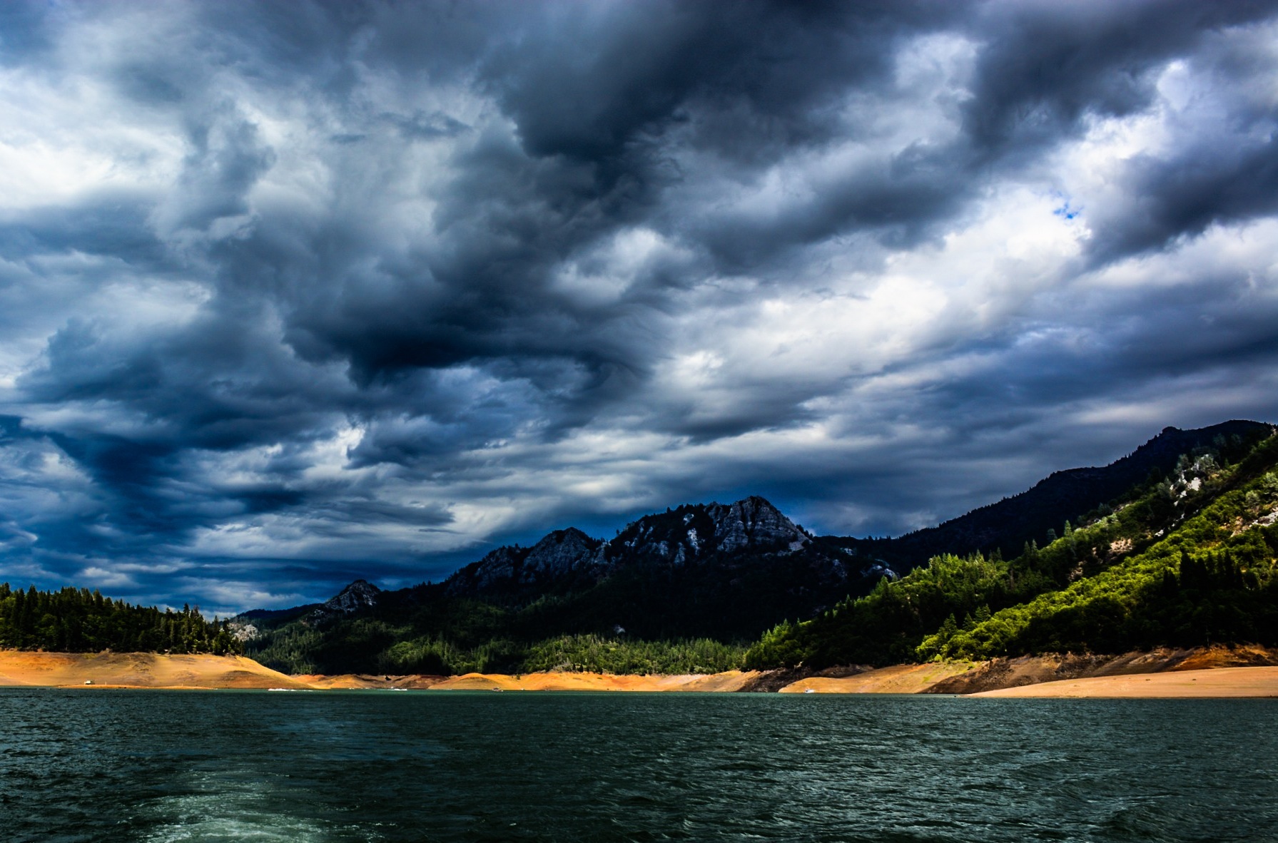
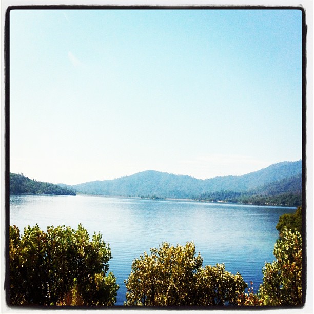
Lake Shasta, California, USA

View from the top
Sundial Bridge in September

Self Portrait - 3
Heaven Came Down
O'B (5)
Random photography

Sunset at the Sundial Bridge

Lake Sentinel
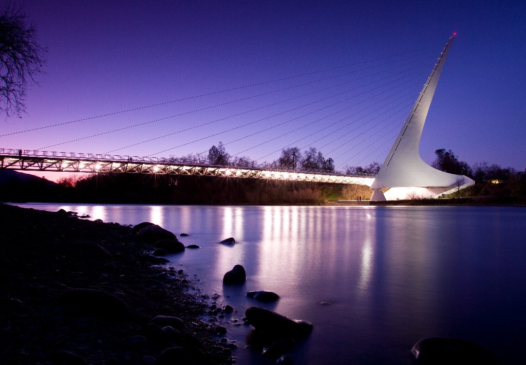
Sundial Bridge Redding Ca.
Random photography
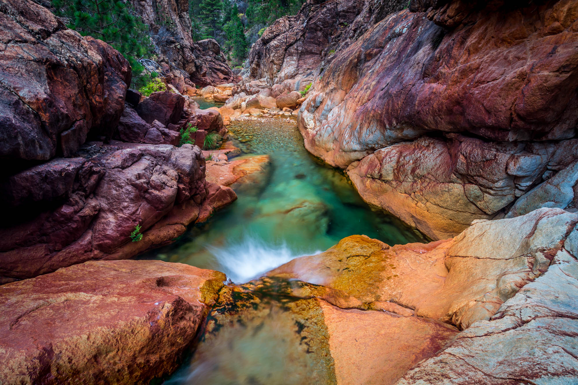
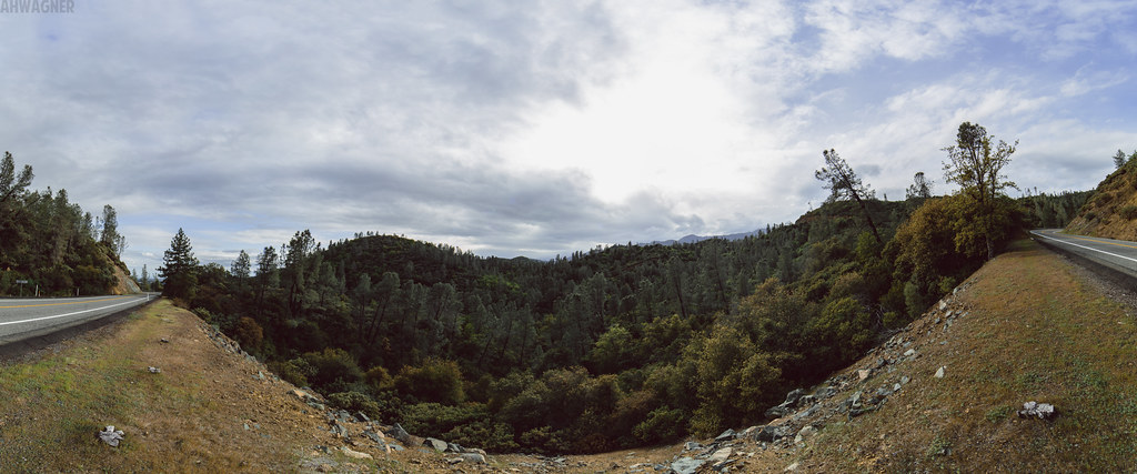
Towards Destiny - Shasta National Forest, CA, USA

Shasta Lake
Sunrise at Simpson [03.30.13]
Lake Shasta
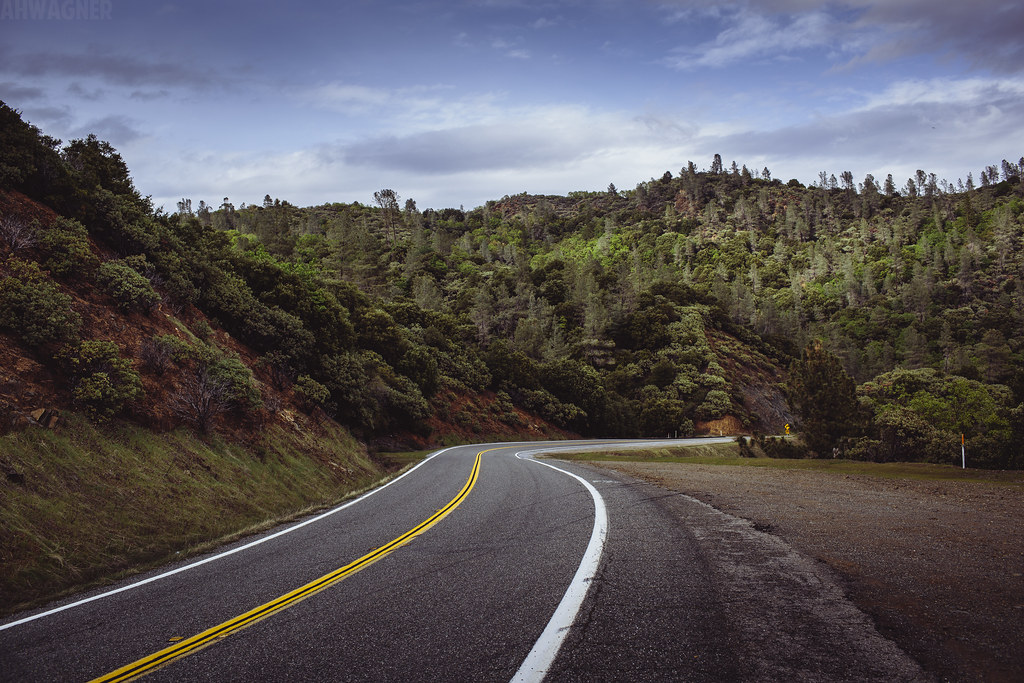
Shasta Dam Boulevard [03.28.13]
Pretty views at #whiskeytown lake
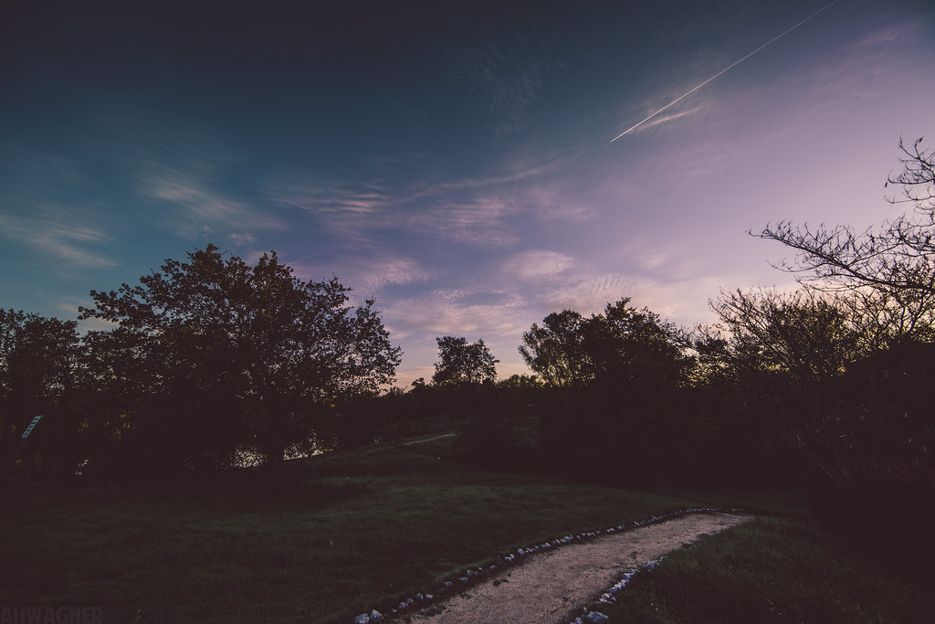
Sunrise at Simpson [03.29.13]
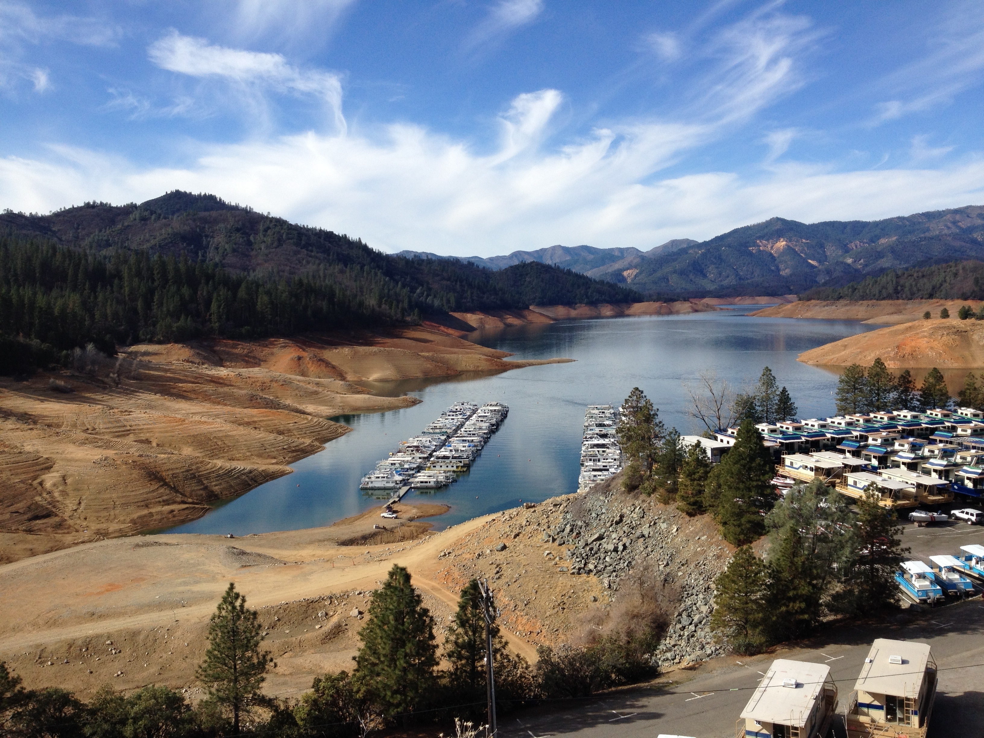
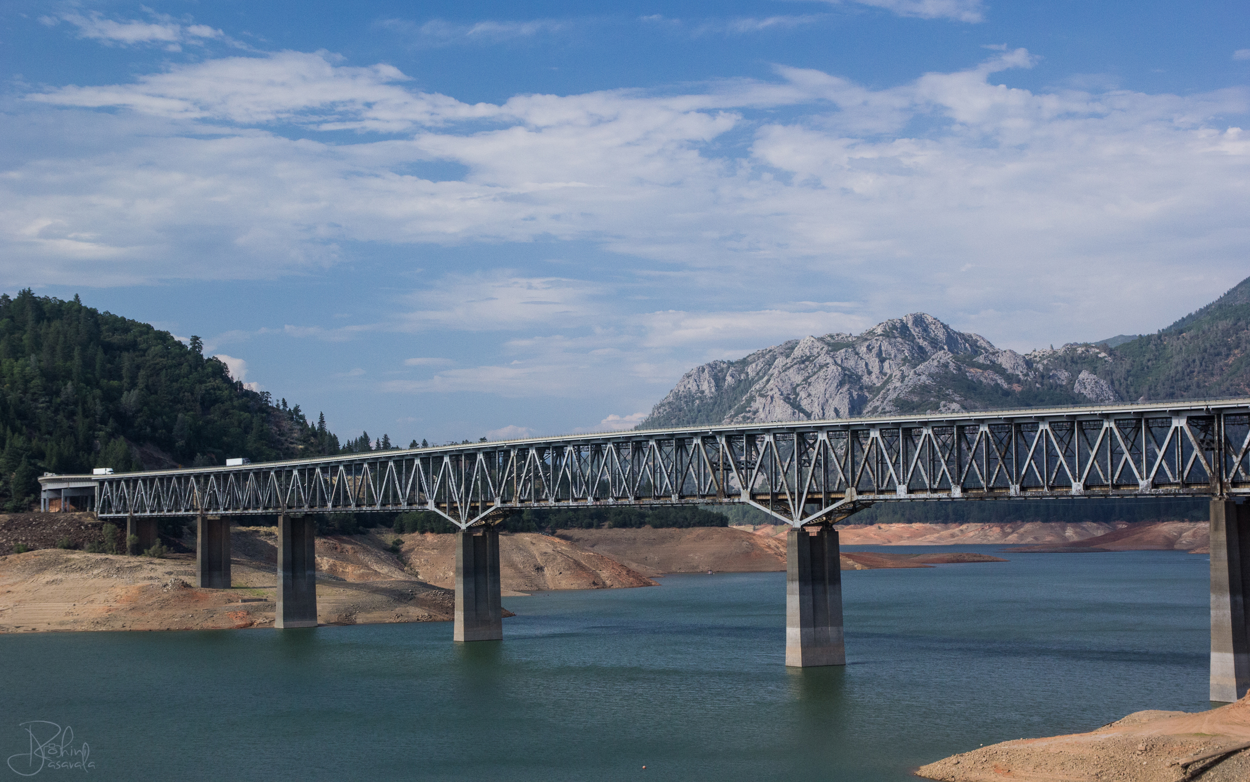
Lake Shasta is very low (Calif. drought)

Shasta Lake
Shasta Dam Boulevard [03.28.13]
Topographic Map of Lake Blvd, Redding, CA, USA
Find elevation by address:

Places near Lake Blvd, Redding, CA, USA:
12538 Lake Blvd
17684 Petty Ln
12125 Lake Blvd
3760 Lakey Ln
Buckeye
4356 Caterpillar Rd
Oasis Road
17764 Yellow Pine Ave
4650 Caterpillar Rd
Mountain Lakes Industrial Park
2490 Cana Dr
17600 Yellow Pine Ave
3833 Arlene Ct
4544 Hickory Trail
2495 Impression Way
3104 Wandsworth Dr
Twin View Boulevard
3818 Craftsman Ave
3145 Butterfly Ln
Sierra Pacific Industries
Recent Searches:
- Elevation of Corso Fratelli Cairoli, 35, Macerata MC, Italy
- Elevation of Tallevast Rd, Sarasota, FL, USA
- Elevation of 4th St E, Sonoma, CA, USA
- Elevation of Black Hollow Rd, Pennsdale, PA, USA
- Elevation of Oakland Ave, Williamsport, PA, USA
- Elevation of Pedrógão Grande, Portugal
- Elevation of Klee Dr, Martinsburg, WV, USA
- Elevation of Via Roma, Pieranica CR, Italy
- Elevation of Tavkvetili Mountain, Georgia
- Elevation of Hartfords Bluff Cir, Mt Pleasant, SC, USA