Elevation of Keswick Dam Road, Keswick Dam Rd, California, USA
Location: United States > California > Shasta County > Redding > Lake Keswick Estates >
Longitude: -122.43158
Latitude: 40.615307
Elevation: 229m / 751feet
Barometric Pressure: 99KPa
Elevation Map:
Satellite Map:
Related Photos:

Heaven Came Down

Sundial Bridge Lightning, The Sundial Bridge, Redding, CA

Self Portrait - 1

Mount Shasta
Learning to Glow

Cliff Swallow Redding 1991 7

Chiropractic First (530) 243-0889

Our Lady of Mercy Parish

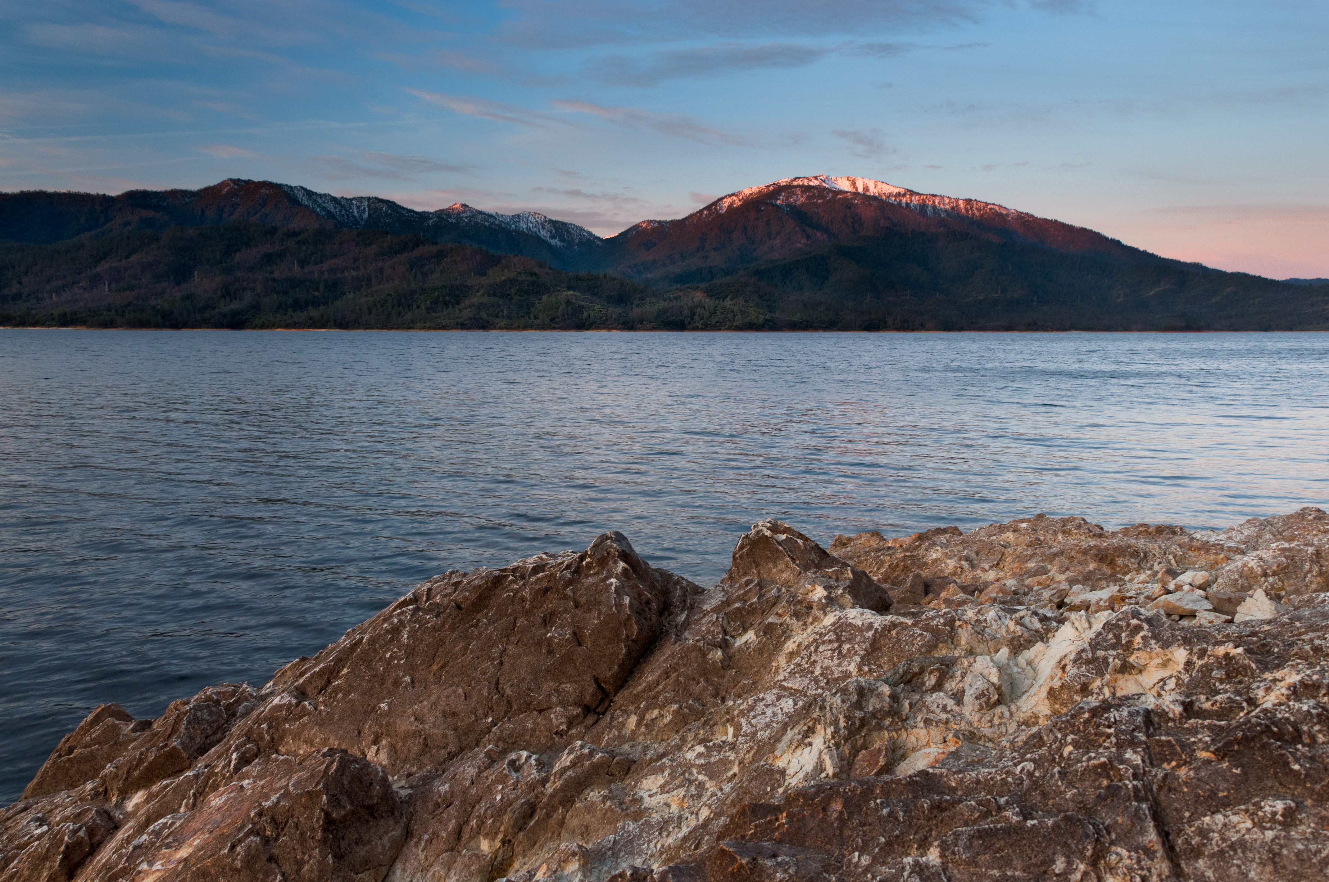
Shasta and the Dam

Interstate 5 Northbound Shasta Valley Freeway - Cascade Wonderland Highway approaches at Exit 680 - State Highway Junction Route CA-299 Lake Blvd. (Exit Ramp 50 MPH - Intersection Traffic Signal Lights Ahead at this Exit Off-Ramp) followed by

Shasta Dam Overlook 1533

Sundial Bridge, Redding

Sunset over Sacramento River

Self Portrait - 3

Sundial in Blue

Self Portrait - 2
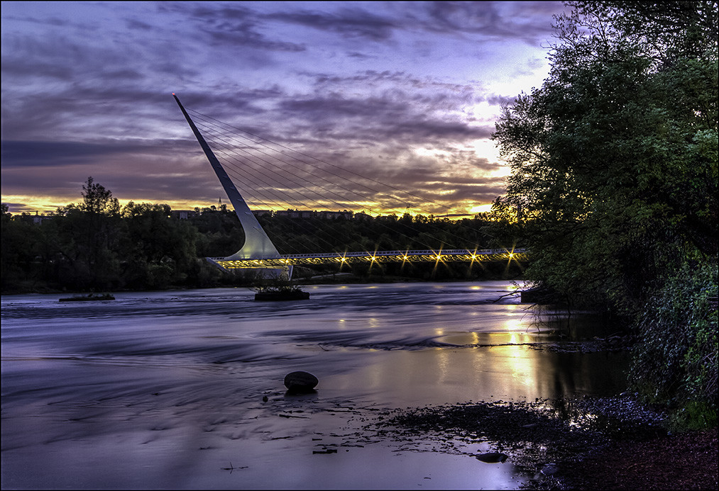
Calatrava's Sundial Bridge, Redding, California

Girl By Bridges

Whiskeytown Lake

Smoke!
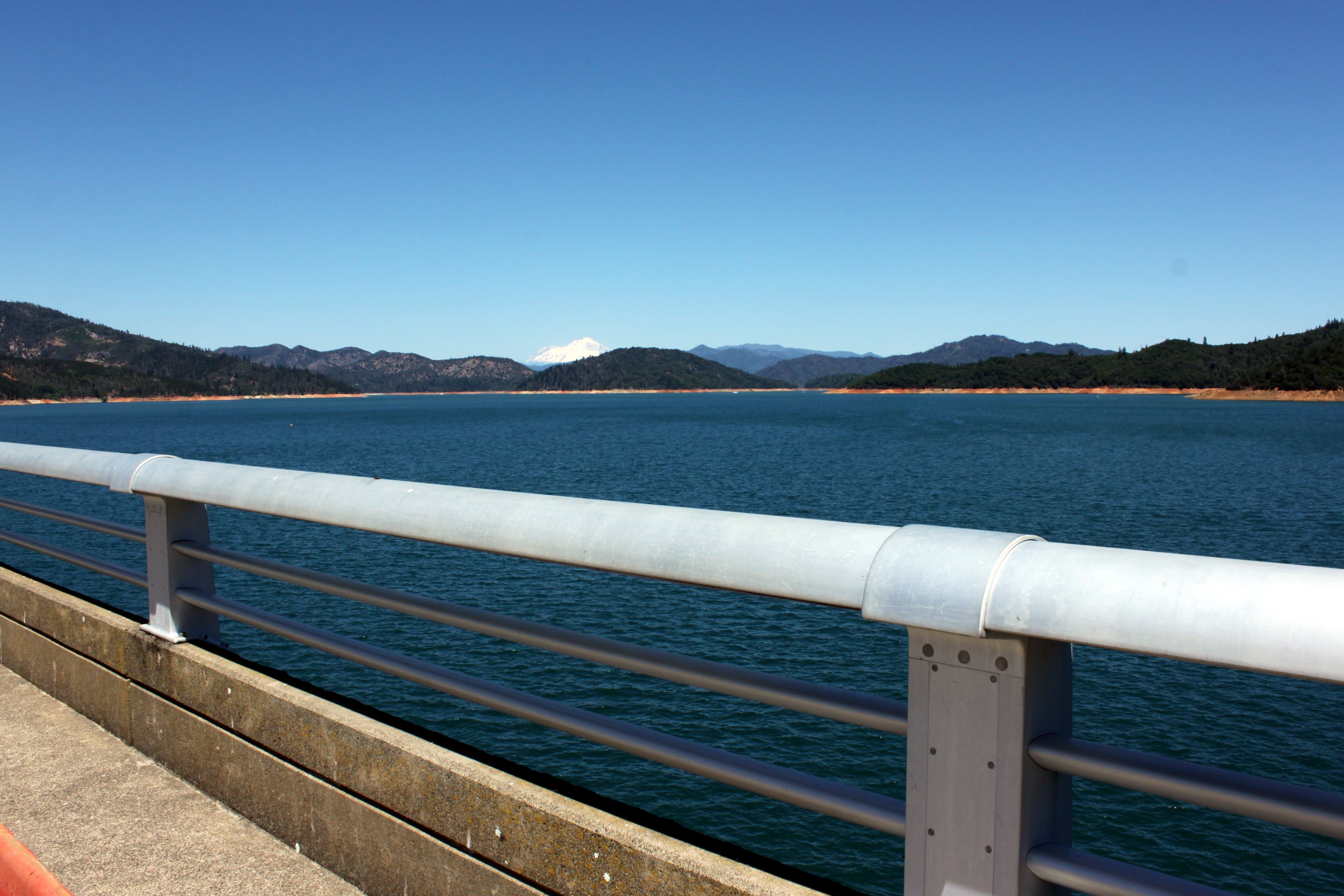
Mt. Shasta

Structure of a Bridge

Park Lake

Almost there

Lights/abstract

There we go (Brandy Creek)

Tree silhouette

sundial sunbeams

Spring Day--DSC1065--Whiskeytown Lake, CA

Birds in the Sunset

Red Along a River

Salmon in Brandy Creek

Sunrise at Simpson [03.30.13]

Shasta Dam last night 3 miles from home... second day July 24th, two days before CarrFire

171124 Black Friday gold-001J

Whiskeytown Lake, California, USA

Delta Fire 2018

Birds Barely Awake (p)

Last Light

Reap The Benefits (p)
Topographic Map of Keswick Dam Road, Keswick Dam Rd, California, USA
Find elevation by address:

Places near Keswick Dam Road, Keswick Dam Rd, California, USA:
Cape Cod Drive
Lake Keswick Estates
17264 Clarks Ln
17301 Pittim Dr
3372 Old Lantern Dr
11690 Pine Oaks Dr
16990 Pine Oaks Dr
Buckeye
3760 Lakey Ln
287 Ironwood Ln
Bud Ln, Redding, CA, USA
Iron Mountain Rd, Redding, CA, USA
12125 Lake Blvd
17684 Petty Ln
12005 Iron Mountain Rd
4356 Caterpillar Rd
4480 Alder St
Lake Blvd, Redding, CA, USA
4544 Hickory Trail
12538 Lake Blvd
Recent Searches:
- Elevation of Corso Fratelli Cairoli, 35, Macerata MC, Italy
- Elevation of Tallevast Rd, Sarasota, FL, USA
- Elevation of 4th St E, Sonoma, CA, USA
- Elevation of Black Hollow Rd, Pennsdale, PA, USA
- Elevation of Oakland Ave, Williamsport, PA, USA
- Elevation of Pedrógão Grande, Portugal
- Elevation of Klee Dr, Martinsburg, WV, USA
- Elevation of Via Roma, Pieranica CR, Italy
- Elevation of Tavkvetili Mountain, Georgia
- Elevation of Hartfords Bluff Cir, Mt Pleasant, SC, USA