Elevation map of Pithoragarh, Uttarakhand, India
Location: India > Uttarakhand >
Longitude: 80.365865
Latitude: 30.0815485
Elevation: 2931m / 9616feet
Barometric Pressure: 0KPa
Related Photos:
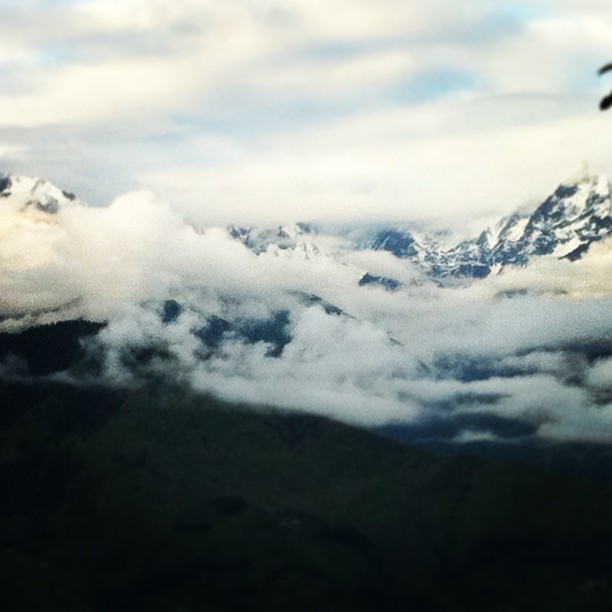
Your #purity make the #Nature run through you and virgin snow have the honor to make the #beautiful scarf for you. You are absolutely #pure. We salute you O’ Great #Saint - The Great Himalayas. ~ Ricky Saikia #ShimlaLife Physically back from The Great
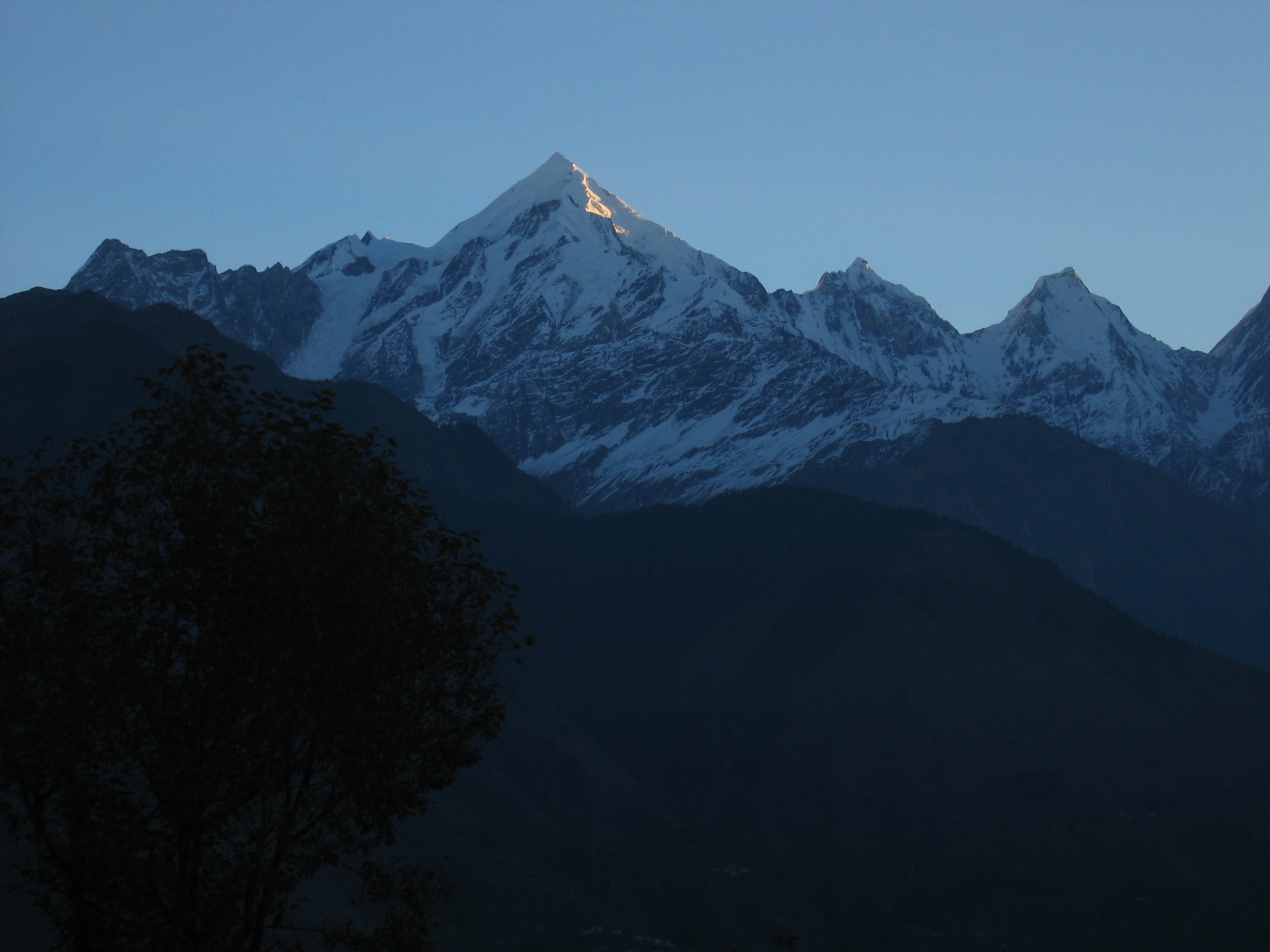
Munsyari morning
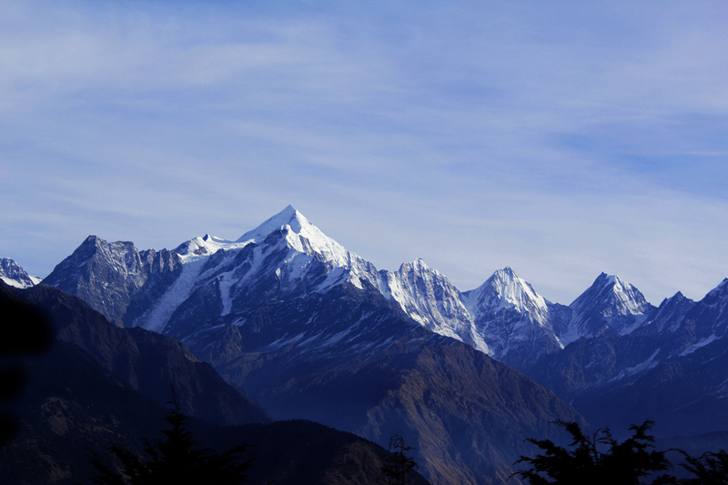
Panchachulli from Munsiyari
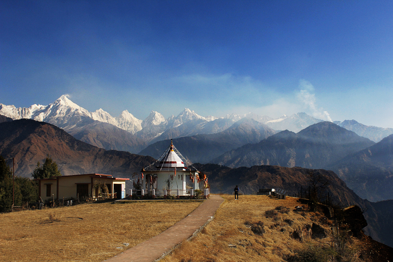
Nanda Devi Temple at Munsiyari
#iPhone #iphoneonly #himalaya #uttarakhand, #cottage, #panchchuliranges

Aberrant Bush –Warbler at Thal, Uttarakhand
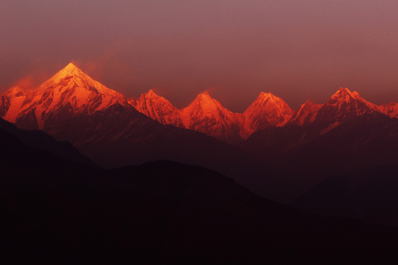
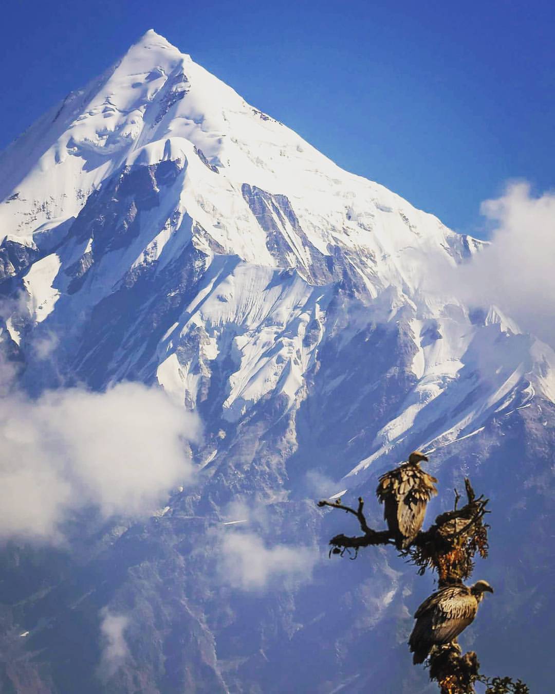
Burning Panchachulli from Munsiyari

Burning Panchachulli from Munsiyari
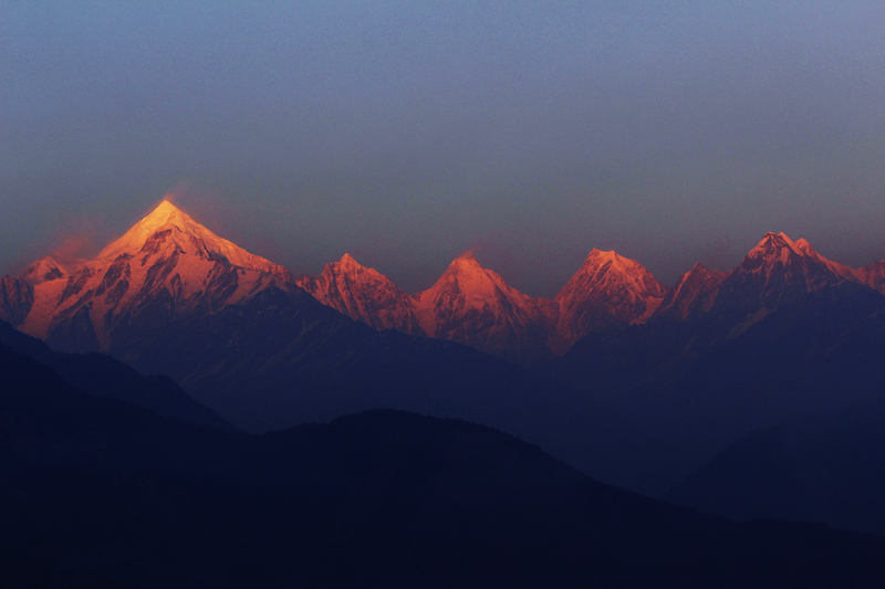
Burning Panchachulli from Munsiyari
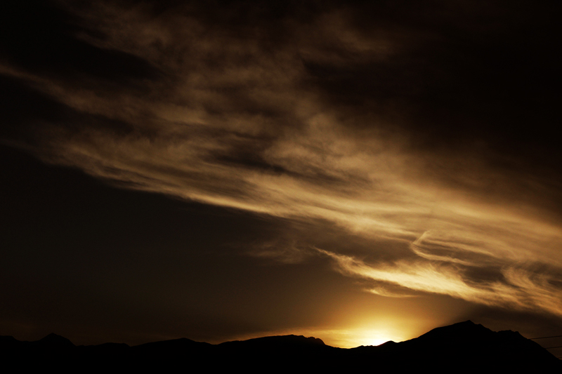
sunrise at Munsiyari

Panchachulli from Munsiyari

And the structures of old live on to see a new dawn ... #sunrise #naturelovers #morning #mountains #himalaya #hillstation #india #munsyari #kmvn #kumaon
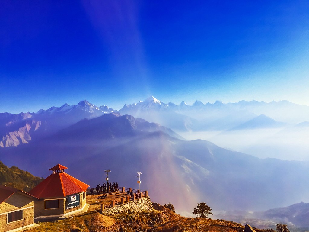
Munsyari, Pithoragarh
Topographic Map of Pithoragarh, Uttarakhand, India
Find elevation by address:

Places in Pithoragarh, Uttarakhand, India:
Pithoragarh
Muna Kote
Gaina
Patal Bhuvaneshwar
Chaukori
Digrani
Munsyari
Kanda Jhusiya
Mostamanu Temple
Askote
Darma
Sarmoli
Berinag
Gangora
Places near Pithoragarh, Uttarakhand, India:
Darma
Munsyari
Sarmoli
Khalanga
Askote
Government Primary School, Panagarh
Kanda Jhusiya
Api
Darchula
Mostamanu Temple
Gaina
Govt.polytechnic Munakot
Muna Kote
Govt.polytechnic Munakot(pithoragarh)
Pithoragarh
Munsyari Dharchula Shop
Wadda
Digrani
Api
Byash
Recent Searches:
- Elevation of Dharamkot Tahsil, Punjab, India
- Elevation of Bhinder Khurd, Dharamkot Tahsil, Punjab, India
- Elevation of 2881, Chabot Drive, San Bruno, San Mateo County, California, 94066, USA
- Elevation of 10370, West 107th Circle, Westminster, Jefferson County, Colorado, 80021, USA
- Elevation of 611, Roman Road, Old Ford, Bow, London, England, E3 2RW, United Kingdom
- Elevation of 116, Beartown Road, Underhill, Chittenden County, Vermont, 05489, USA
- Elevation of Window Rock, Colfax County, New Mexico, 87714, USA
- Elevation of 4807, Rosecroft Street, Kempsville Gardens, Virginia Beach, Virginia, 23464, USA
- Elevation map of Matawinie, Quebec, Canada
- Elevation of Sainte-Émélie-de-l'Énergie, Matawinie, Quebec, Canada
- Elevation of Rue du Pont, Sainte-Émélie-de-l'Énergie, Matawinie, Quebec, J0K2K0, Canada
- Elevation of 8, Rue de Bécancour, Blainville, Thérèse-De Blainville, Quebec, J7B1N2, Canada
- Elevation of Wilmot Court North, 163, University Avenue West, Northdale, Waterloo, Region of Waterloo, Ontario, N2L6B6, Canada
- Elevation map of Panamá Province, Panama
- Elevation of Balboa, Panamá Province, Panama
- Elevation of San Miguel, Balboa, Panamá Province, Panama
- Elevation of Isla Gibraleón, San Miguel, Balboa, Panamá Province, Panama
- Elevation of 4655, Krischke Road, Schulenburg, Fayette County, Texas, 78956, USA
- Elevation of Carnegie Avenue, Downtown Cleveland, Cleveland, Cuyahoga County, Ohio, 44115, USA
- Elevation of Walhonding, Coshocton County, Ohio, USA