Elevation of Government Primary School, Panagarh, Kanda Jhusiya, Uttarakhand, India
Location: India > Uttarakhand > Pithoragarh > Kanda Jhusiya >
Longitude: 80.3041064
Latitude: 29.7691388
Elevation: 1594m / 5230feet
Barometric Pressure: 0KPa
Related Photos:

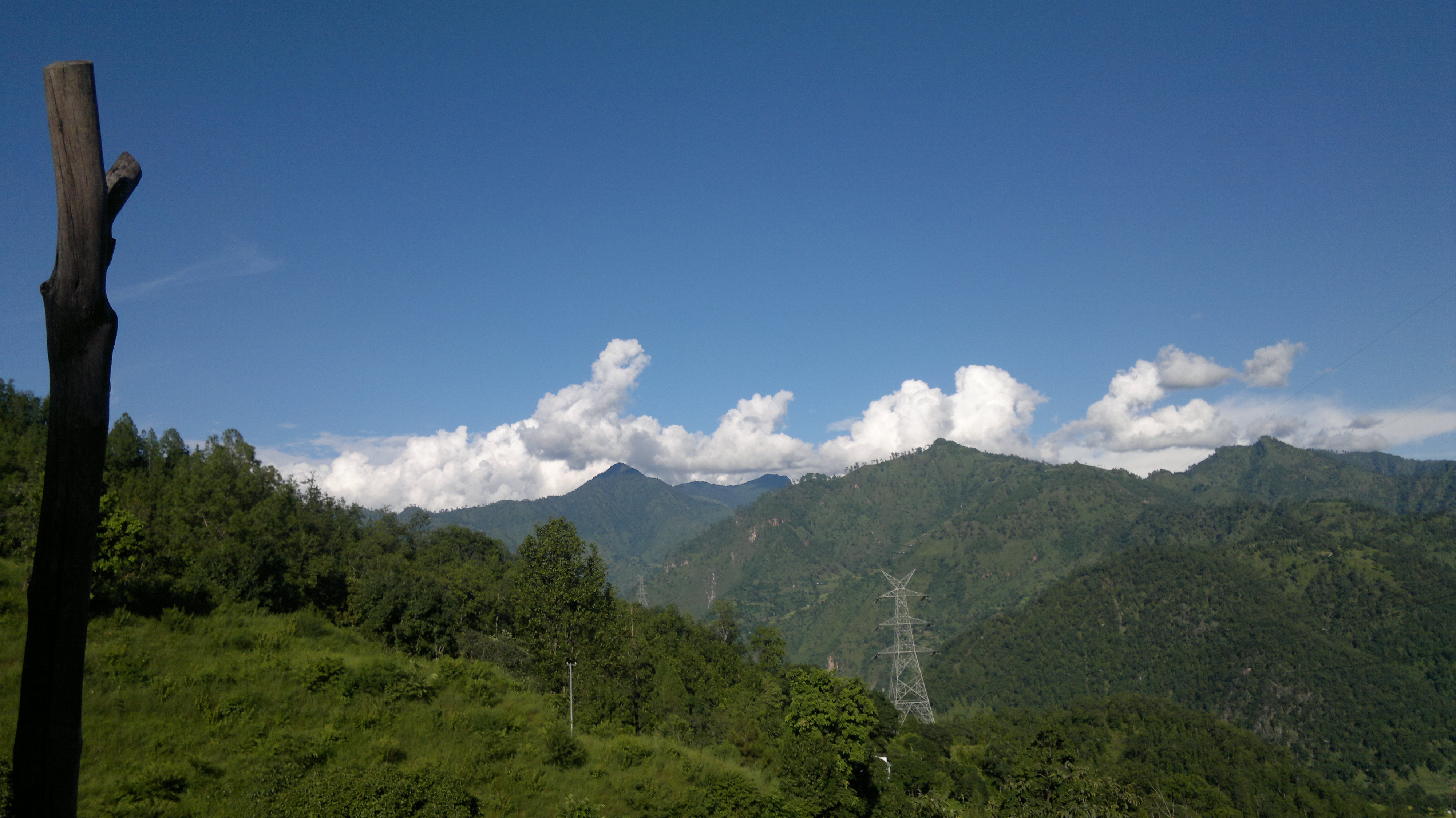
At #Chandaak #Pithoragarh #Uttarakhand #Nikon #Forest #Trees

Road less travelled... #Pithoragarh #Uttarakhand #Trees #Forest #Nikon

Cloudy day... #Pithoragarh #Uttarakhand #Clouds #Monsoon #Nikon
Standing Still in Silence

anil kapri

Amateur Photograph

Just I Am

Sun sets on Panchachuli, Munsiyari, Uttarakhand
Topographic Map of Government Primary School, Panagarh, Kanda Jhusiya, Uttarakhand, India
Find elevation by address:

Places near Government Primary School, Panagarh, Kanda Jhusiya, Uttarakhand, India:
Kanda Jhusiya
Askote
Mostamanu Temple
Muna Kote
Gaina
Govt.polytechnic Munakot(pithoragarh)
Govt.polytechnic Munakot
Pithoragarh
Wadda
Digrani
Darma
Munsyari Dharchula Shop
Khalanga
Api
Munsyari
Sarmoli
Pithoragarh
Darchula
Api
Byash
Recent Searches:
- Elevation of 10370, West 107th Circle, Westminster, Jefferson County, Colorado, 80021, USA
- Elevation of 611, Roman Road, Old Ford, Bow, London, England, E3 2RW, United Kingdom
- Elevation of 116, Beartown Road, Underhill, Chittenden County, Vermont, 05489, USA
- Elevation of Window Rock, Colfax County, New Mexico, 87714, USA
- Elevation of 4807, Rosecroft Street, Kempsville Gardens, Virginia Beach, Virginia, 23464, USA
- Elevation map of Matawinie, Quebec, Canada
- Elevation of Sainte-Émélie-de-l'Énergie, Matawinie, Quebec, Canada
- Elevation of Rue du Pont, Sainte-Émélie-de-l'Énergie, Matawinie, Quebec, J0K2K0, Canada
- Elevation of 8, Rue de Bécancour, Blainville, Thérèse-De Blainville, Quebec, J7B1N2, Canada
- Elevation of Wilmot Court North, 163, University Avenue West, Northdale, Waterloo, Region of Waterloo, Ontario, N2L6B6, Canada
- Elevation map of Panamá Province, Panama
- Elevation of Balboa, Panamá Province, Panama
- Elevation of San Miguel, Balboa, Panamá Province, Panama
- Elevation of Isla Gibraleón, San Miguel, Balboa, Panamá Province, Panama
- Elevation of 4655, Krischke Road, Schulenburg, Fayette County, Texas, 78956, USA
- Elevation of Carnegie Avenue, Downtown Cleveland, Cleveland, Cuyahoga County, Ohio, 44115, USA
- Elevation of Walhonding, Coshocton County, Ohio, USA
- Elevation of Clifton Down, Clifton, Bristol, City of Bristol, England, BS8 3HU, United Kingdom
- Elevation map of Auvergne-Rhône-Alpes, France
- Elevation map of Upper Savoy, Auvergne-Rhône-Alpes, France