Elevation of Gaina, Uttarakhand, India
Location: India > Uttarakhand > Pithoragarh >
Longitude: 80.3227033
Latitude: 29.5697152
Elevation: 1360m / 4462feet
Barometric Pressure: 0KPa
Related Photos:
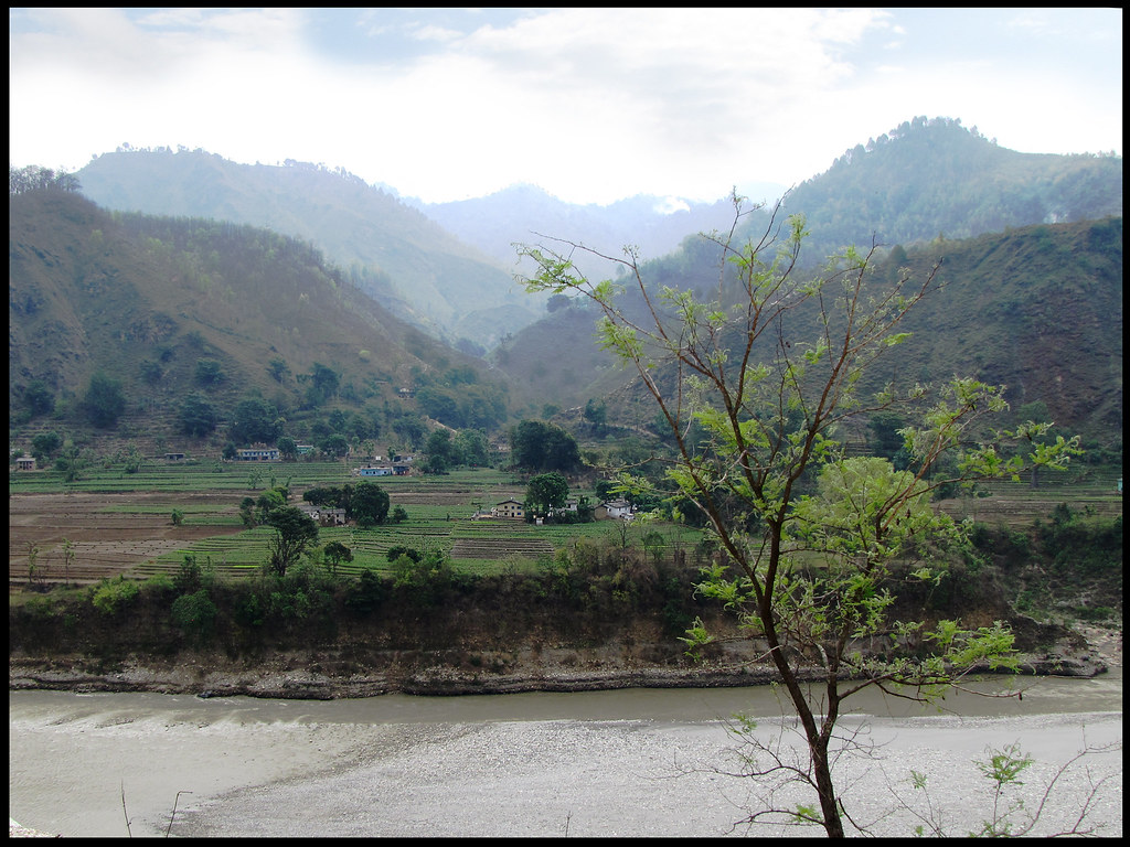
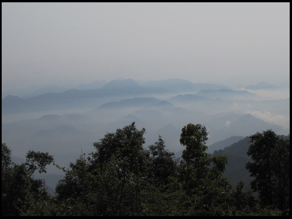
A village of Nepal, seen from India
beautiful #Uttarakhand #travel #photography #mountain #himalaya
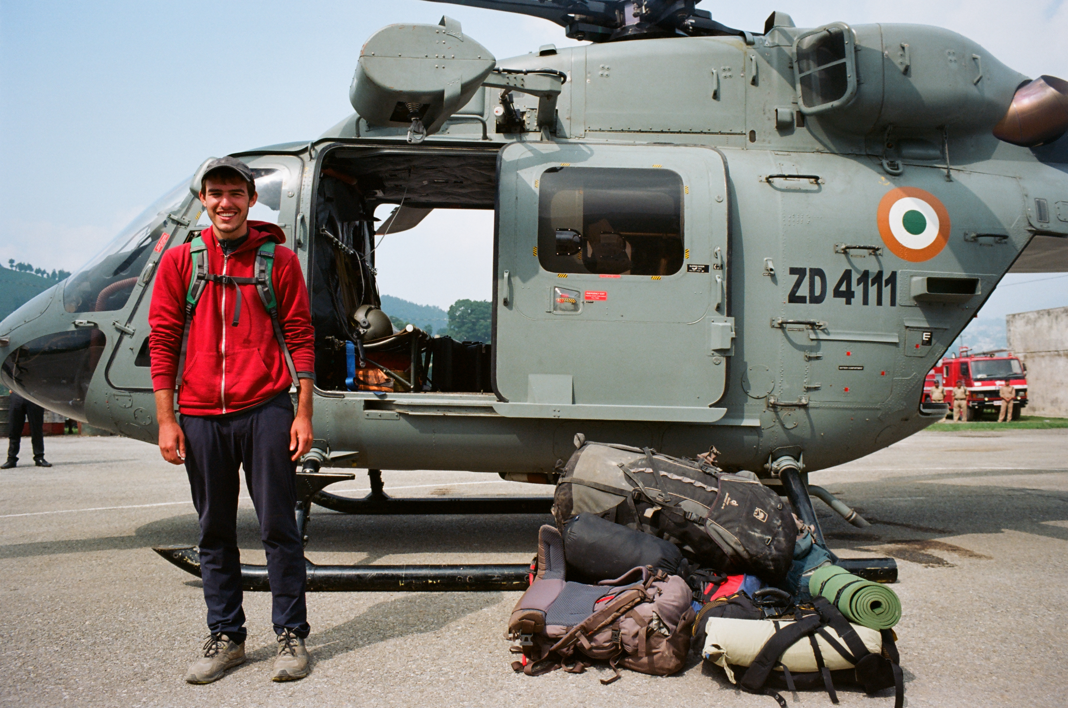
Mike and the Chopper

anil kapri

choliya dance

Python molurus

1 a (saify furniture house)
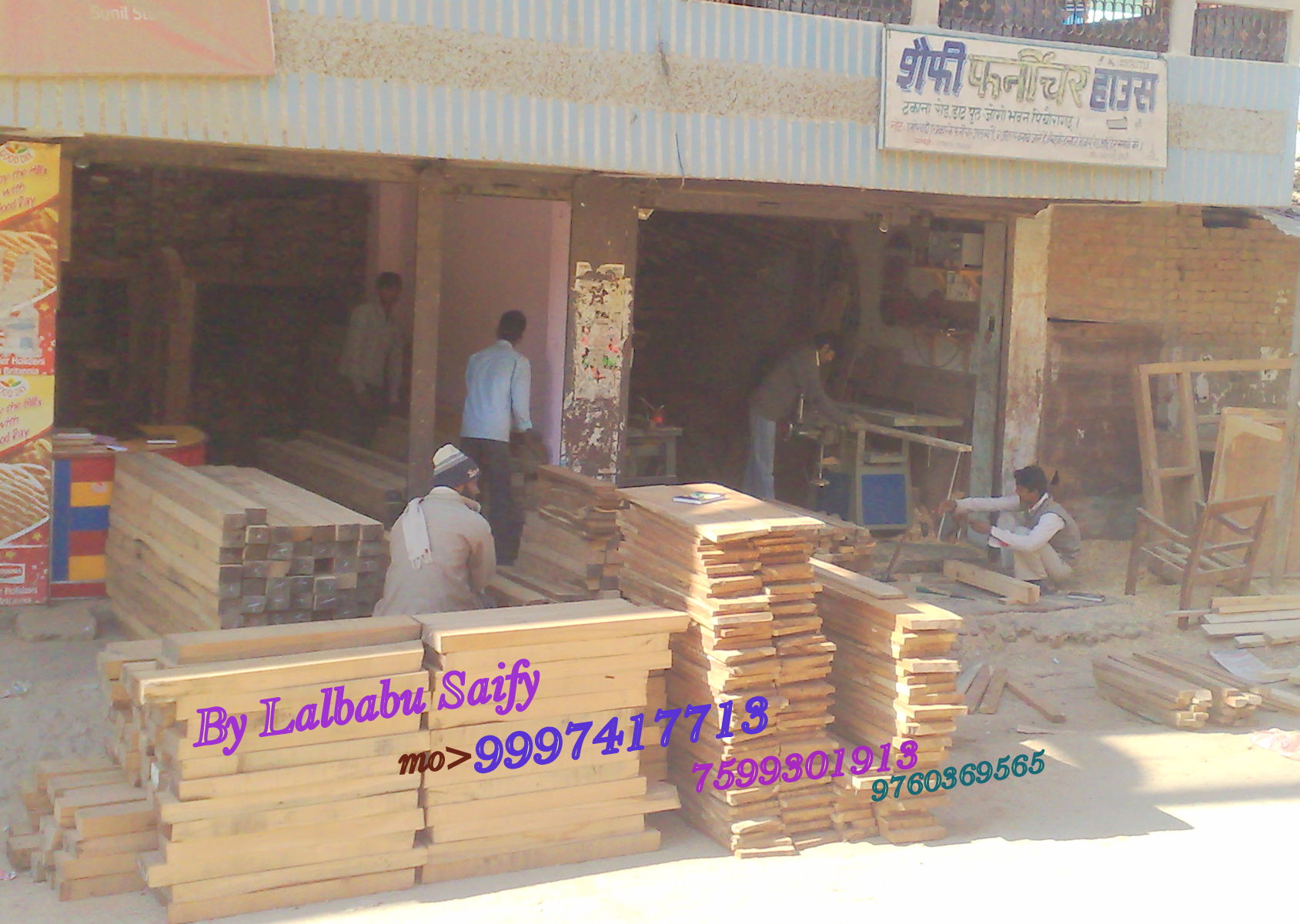
saify furniture house

looking out of the window
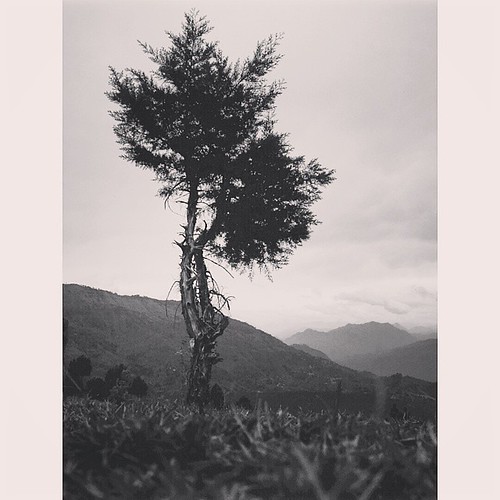
Clouds between hills

Smoking sadhu
Topographic Map of Gaina, Uttarakhand, India
Find elevation by address:

Places in Gaina, Uttarakhand, India:
Places near Gaina, Uttarakhand, India:
Govt.polytechnic Munakot
Muna Kote
Govt.polytechnic Munakot(pithoragarh)
Digrani
Wadda
Pithoragarh
Munsyari Dharchula Shop
Mostamanu Temple
Askote
Government Primary School, Panagarh
Kanda Jhusiya
Api
Khalanga
Darma
Munsyari
Pithoragarh
Sarmoli
Darchula
Api
Byash
Recent Searches:
- Elevation map of Greenland, Greenland
- Elevation of Sullivan Hill, New York, New York, 10002, USA
- Elevation of Morehead Road, Withrow Downs, Charlotte, Mecklenburg County, North Carolina, 28262, USA
- Elevation of 2800, Morehead Road, Withrow Downs, Charlotte, Mecklenburg County, North Carolina, 28262, USA
- Elevation of Yangbi Yi Autonomous County, Yunnan, China
- Elevation of Pingpo, Yangbi Yi Autonomous County, Yunnan, China
- Elevation of Mount Malong, Pingpo, Yangbi Yi Autonomous County, Yunnan, China
- Elevation map of Yongping County, Yunnan, China
- Elevation of North 8th Street, Palatka, Putnam County, Florida, 32177, USA
- Elevation of 107, Big Apple Road, East Palatka, Putnam County, Florida, 32131, USA
- Elevation of Jiezi, Chongzhou City, Sichuan, China
- Elevation of Chongzhou City, Sichuan, China
- Elevation of Huaiyuan, Chongzhou City, Sichuan, China
- Elevation of Qingxia, Chengdu, Sichuan, China
- Elevation of Corso Fratelli Cairoli, 35, Macerata MC, Italy
- Elevation of Tallevast Rd, Sarasota, FL, USA
- Elevation of 4th St E, Sonoma, CA, USA
- Elevation of Black Hollow Rd, Pennsdale, PA, USA
- Elevation of Oakland Ave, Williamsport, PA, USA
- Elevation of Pedrógão Grande, Portugal