Elevation of Govt.Polytechnic Munakot, Pithoragarh - Jhulaghat Rd, Muna Kote, Uttarakhand, India
Location: India > Uttarakhand > Pithoragarh > Gaina >
Longitude: 80.3213904
Latitude: 29.5687372
Elevation: 1255m / 4117feet
Barometric Pressure: 87KPa
Elevation Map:
Satellite Map:
Related Photos:
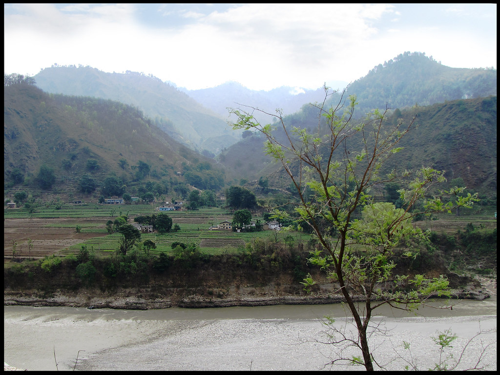
A village of Nepal, seen from India
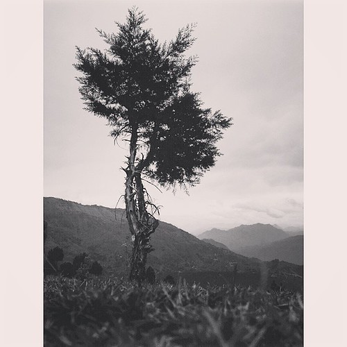
beautiful #Uttarakhand #travel #photography #mountain #himalaya
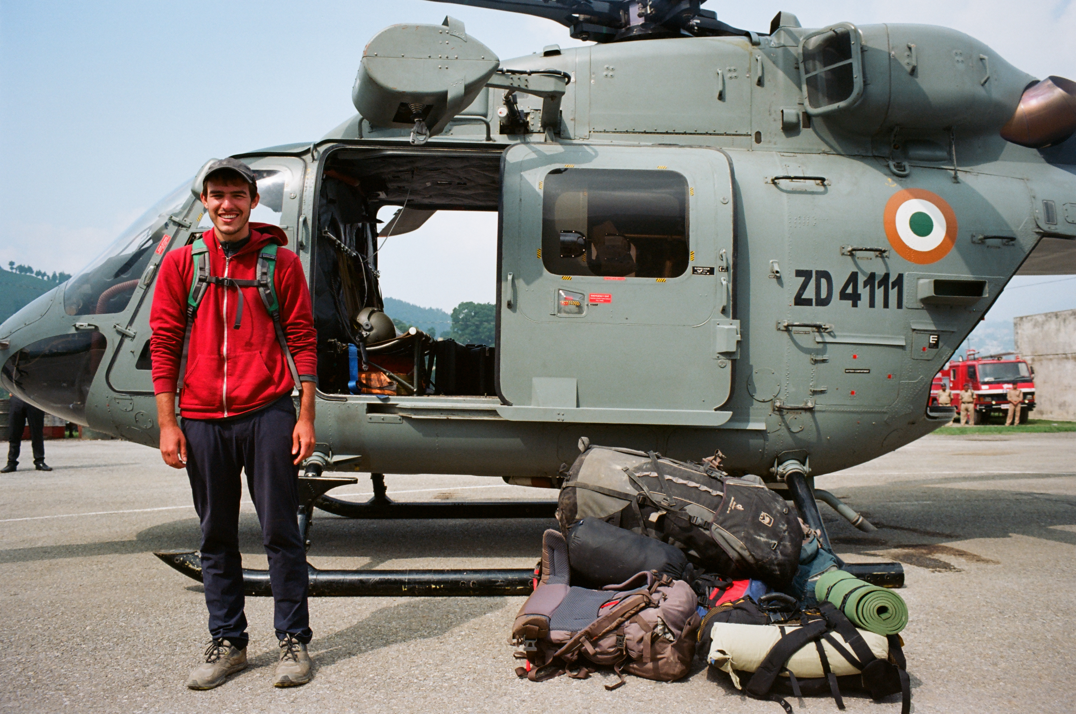
Mike and the Chopper

anil kapri

choliya dance
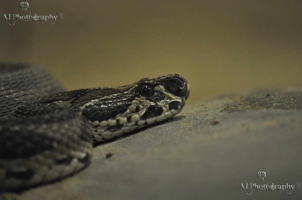
Python molurus

1 a (saify furniture house)
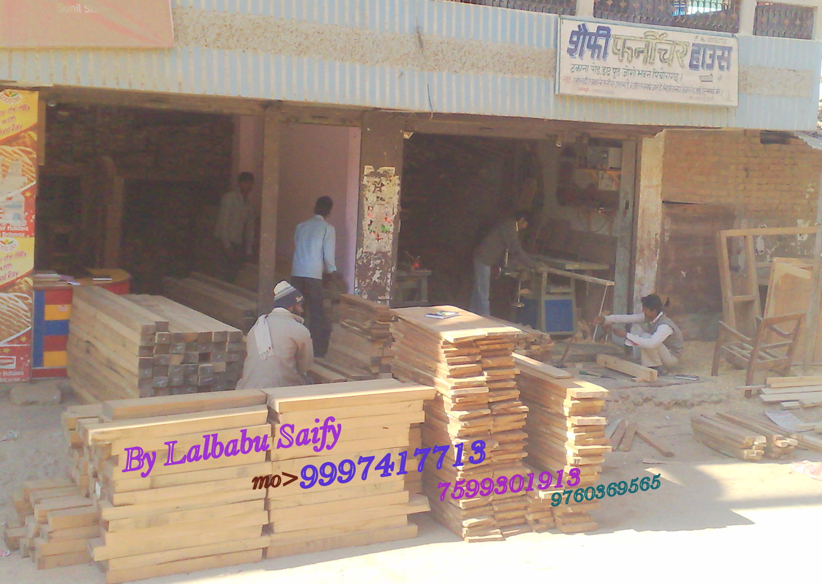
saify furniture house
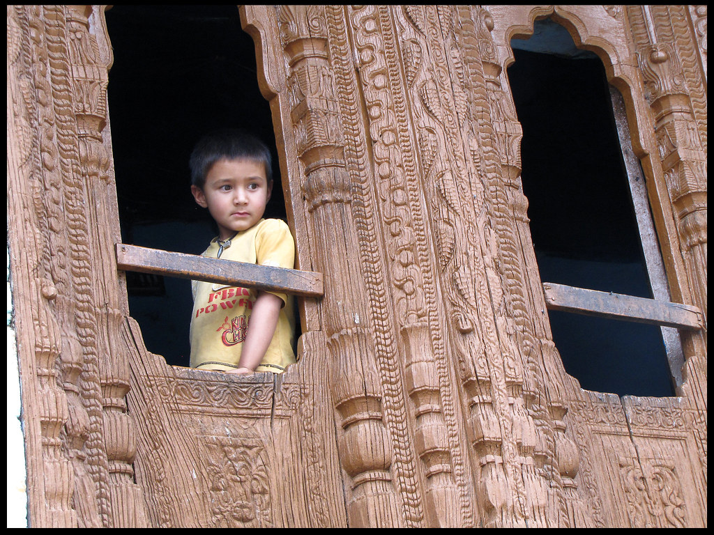
looking out of the window
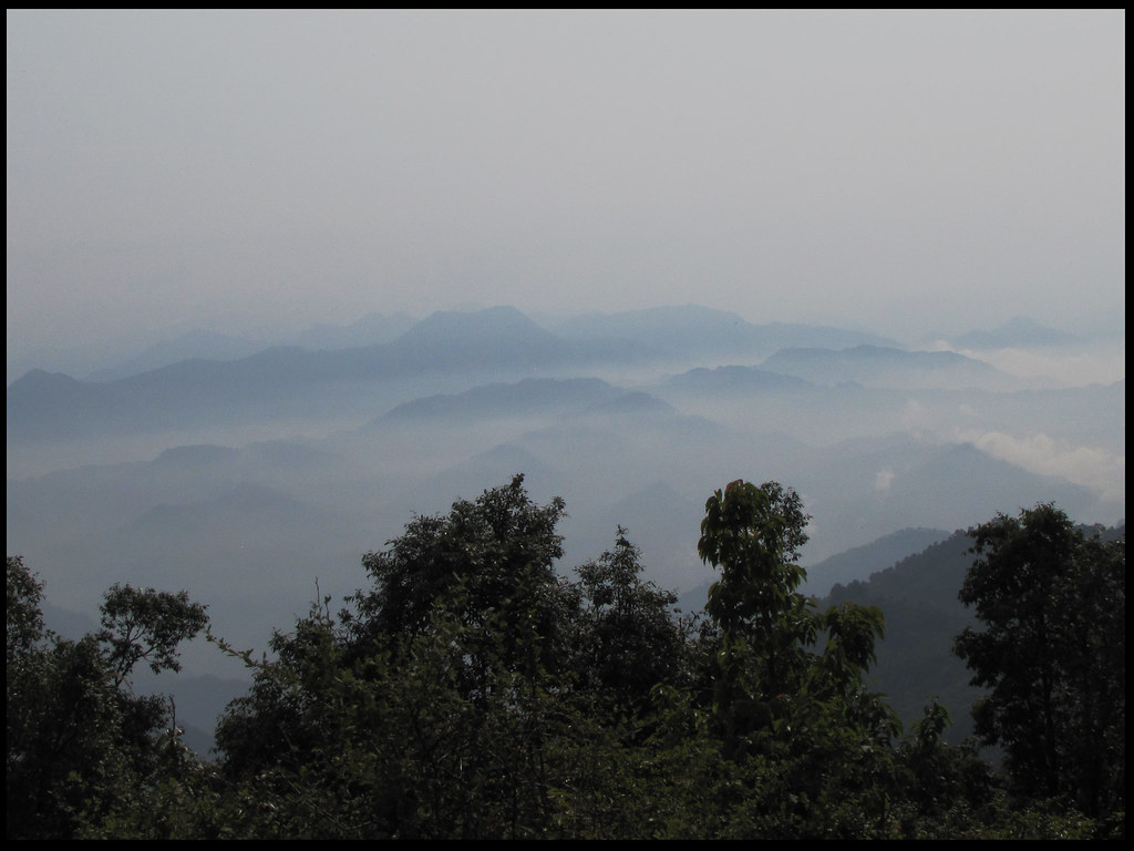
Clouds between hills

Smoking sadhu
Topographic Map of Govt.Polytechnic Munakot, Pithoragarh - Jhulaghat Rd, Muna Kote, Uttarakhand, India
Find elevation by address:

Places near Govt.Polytechnic Munakot, Pithoragarh - Jhulaghat Rd, Muna Kote, Uttarakhand, India:
Gaina
Govt.polytechnic Munakot(pithoragarh)
Muna Kote
Digrani
Wadda
Pithoragarh
Munsyari Dharchula Shop
Mostamanu Temple
Askote
Government Primary School, Panagarh
Kanda Jhusiya
Api
Khalanga
Darma
Munsyari
Pithoragarh
Sarmoli
Darchula
Api
Byash
Recent Searches:
- Elevation of Corso Fratelli Cairoli, 35, Macerata MC, Italy
- Elevation of Tallevast Rd, Sarasota, FL, USA
- Elevation of 4th St E, Sonoma, CA, USA
- Elevation of Black Hollow Rd, Pennsdale, PA, USA
- Elevation of Oakland Ave, Williamsport, PA, USA
- Elevation of Pedrógão Grande, Portugal
- Elevation of Klee Dr, Martinsburg, WV, USA
- Elevation of Via Roma, Pieranica CR, Italy
- Elevation of Tavkvetili Mountain, Georgia
- Elevation of Hartfords Bluff Cir, Mt Pleasant, SC, USA