Elevation of Kanda Jhusiya, Uttarakhand, India
| Latitude | 29.7688898 |
|---|---|
| Longitude | 80.3004177 |
| Elevation | 1643m / 5390feet |
| Barometric Pressure | 831KPa |
Related Photos:

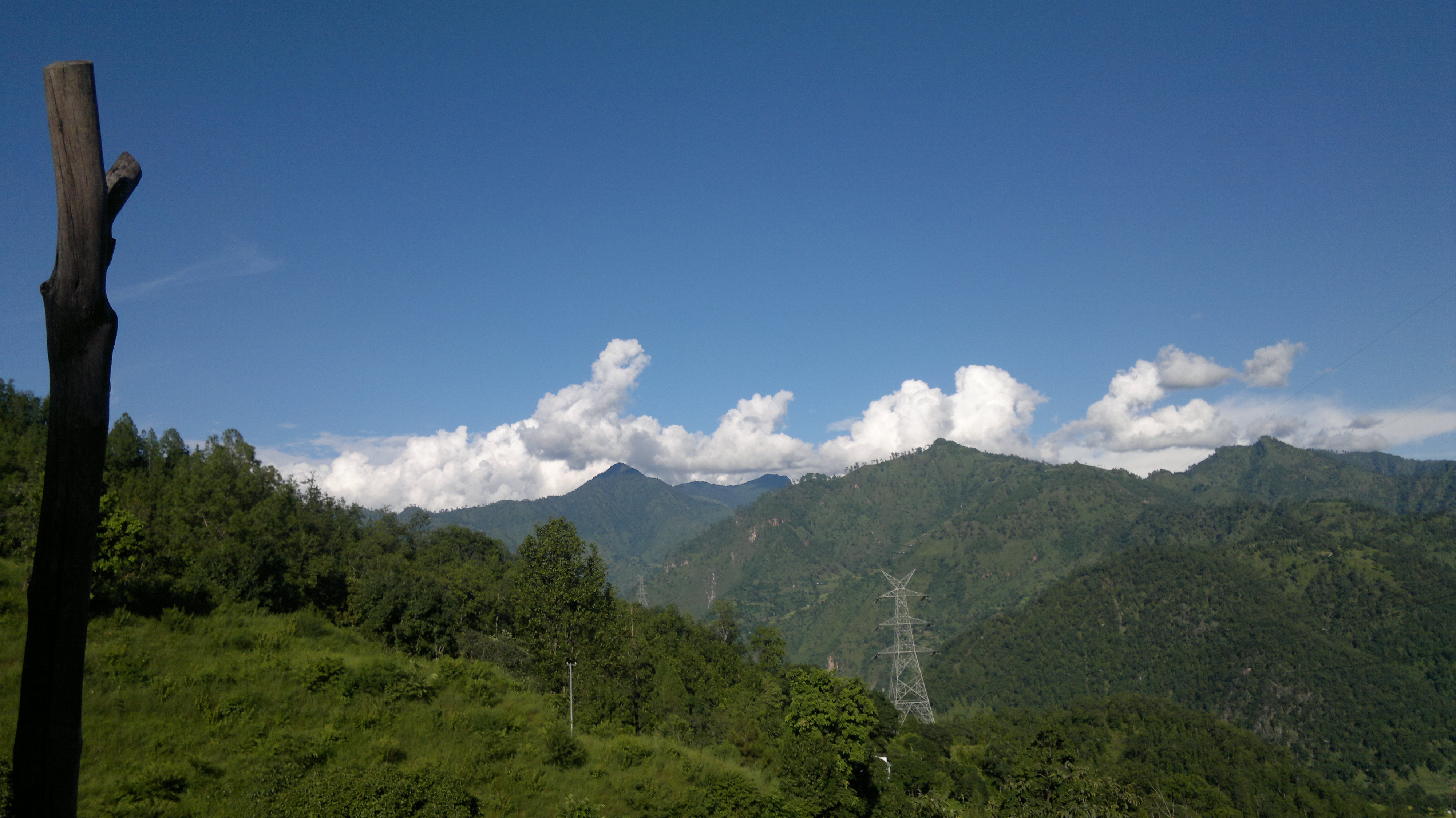
At #Chandaak #Pithoragarh #Uttarakhand #Nikon #Forest #Trees

Road less travelled... #Pithoragarh #Uttarakhand #Trees #Forest #Nikon

Cloudy day... #Pithoragarh #Uttarakhand #Clouds #Monsoon #Nikon
Standing Still in Silence

anil kapri

Amateur Photograph

Just I Am

Sun sets on Panchachuli, Munsiyari, Uttarakhand
Topographic Map of Kanda Jhusiya, Uttarakhand, India
Find elevation by address:
Places in Kanda Jhusiya, Uttarakhand, India:
Places near Kanda Jhusiya, Uttarakhand, India:
Government Primary School, Panagarh
Askote
Mostamanu Temple
Muna Kote
Govt.polytechnic Munakot(pithoragarh)
Gaina
Govt.polytechnic Munakot
Pithoragarh
Wadda
Digrani
Darma
Munsyari Dharchula Shop
Khalanga
Api
Munsyari
Sarmoli
Pithoragarh
Darchula
Api
Byash
Recent Searches:
- Elevation of 104, Chancery Road, Middletown Township, Bucks County, Pennsylvania, 19047, USA
- Elevation of 1212, Cypress Lane, Dayton, Liberty County, Texas, 77535, USA
- Elevation map of Central Hungary, Hungary
- Elevation map of Pest, Central Hungary, Hungary
- Elevation of Pilisszentkereszt, Pest, Central Hungary, Hungary
- Elevation of Dharamkot Tahsil, Punjab, India
- Elevation of Bhinder Khurd, Dharamkot Tahsil, Punjab, India
- Elevation of 2881, Chabot Drive, San Bruno, San Mateo County, California, 94066, USA
- Elevation of 10370, West 107th Circle, Westminster, Jefferson County, Colorado, 80021, USA
- Elevation of 611, Roman Road, Old Ford, Bow, London, England, E3 2RW, United Kingdom
- Elevation of 116, Beartown Road, Underhill, Chittenden County, Vermont, 05489, USA
- Elevation of Window Rock, Colfax County, New Mexico, 87714, USA
- Elevation of 4807, Rosecroft Street, Kempsville Gardens, Virginia Beach, Virginia, 23464, USA
- Elevation map of Matawinie, Quebec, Canada
- Elevation of Sainte-Émélie-de-l'Énergie, Matawinie, Quebec, Canada
- Elevation of Rue du Pont, Sainte-Émélie-de-l'Énergie, Matawinie, Quebec, J0K2K0, Canada
- Elevation of 8, Rue de Bécancour, Blainville, Thérèse-De Blainville, Quebec, J7B1N2, Canada
- Elevation of Wilmot Court North, 163, University Avenue West, Northdale, Waterloo, Region of Waterloo, Ontario, N2L6B6, Canada
- Elevation map of Panamá Province, Panama
- Elevation of Balboa, Panamá Province, Panama