Elevation of Pine Forest Rd, Goldendale, WA, USA
Location: United States > Washington > Klickitat County > Goldendale >
Longitude: -120.8364164
Latitude: 45.8505658
Elevation: 518m / 1699feet
Barometric Pressure: 0KPa
Related Photos:

Mt Hood in twilight's pink glow

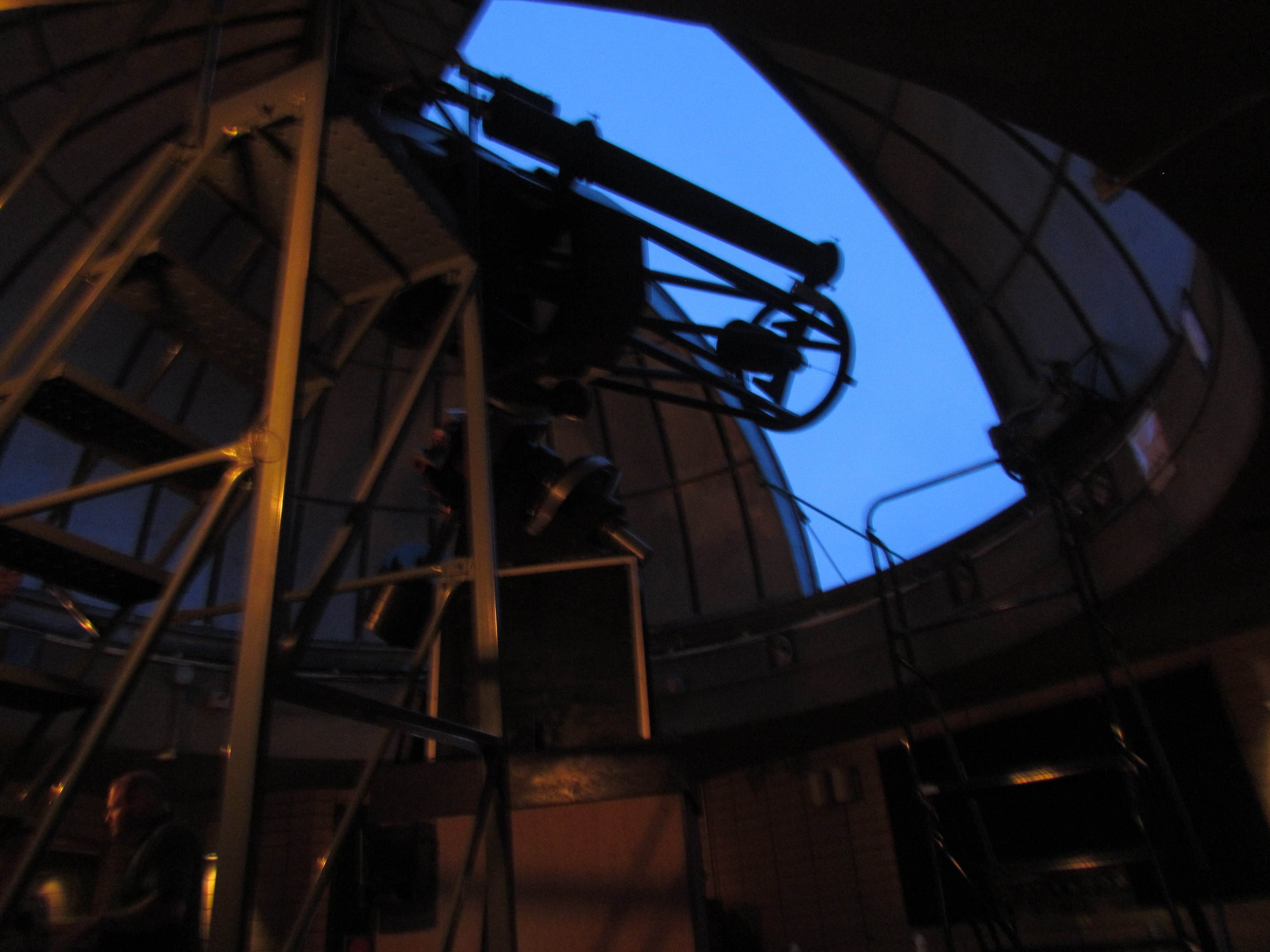
Goldendale Observatory

View from Goldendale Observatory

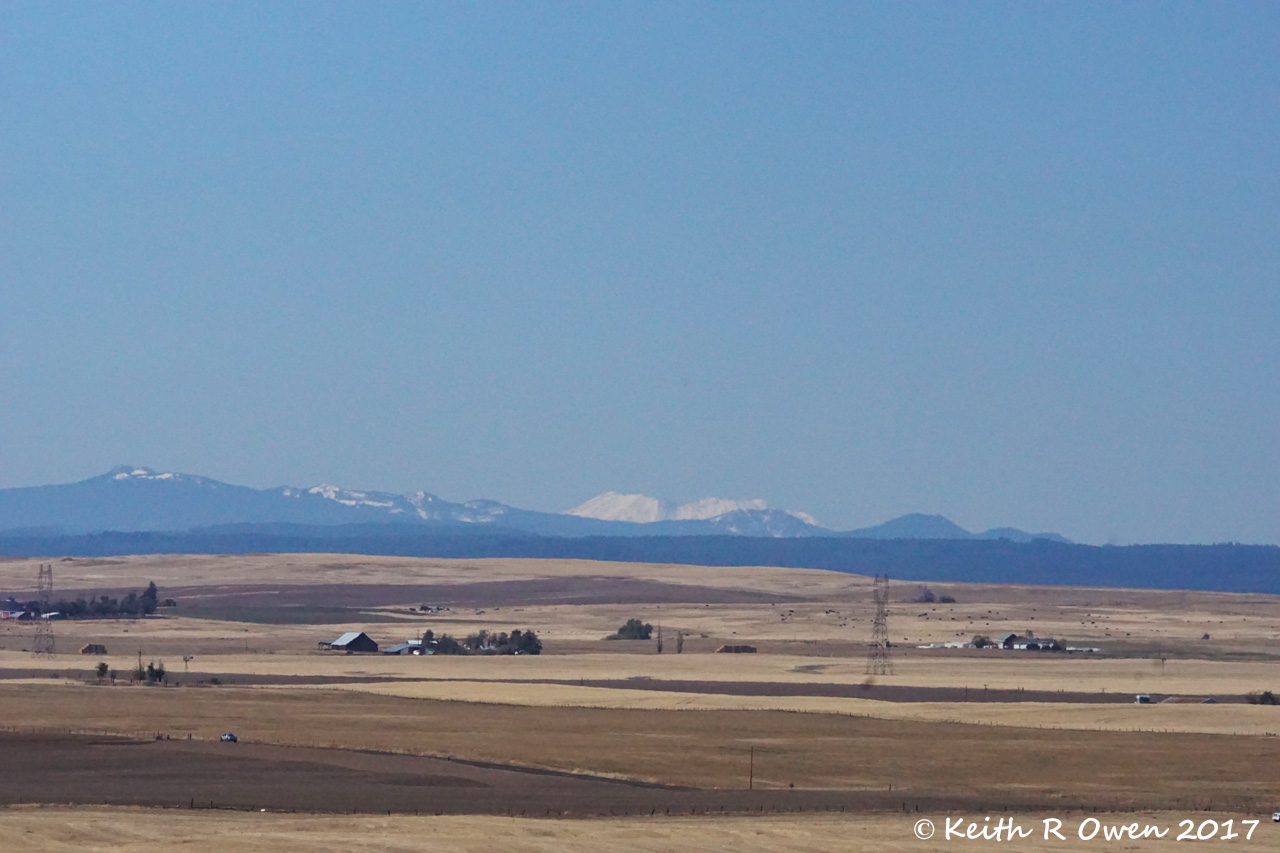
A Bizarre Scene, Mt. Adams Behind Desert, US-97, WA

Piece of the past

Mt Adams

Winter Stream
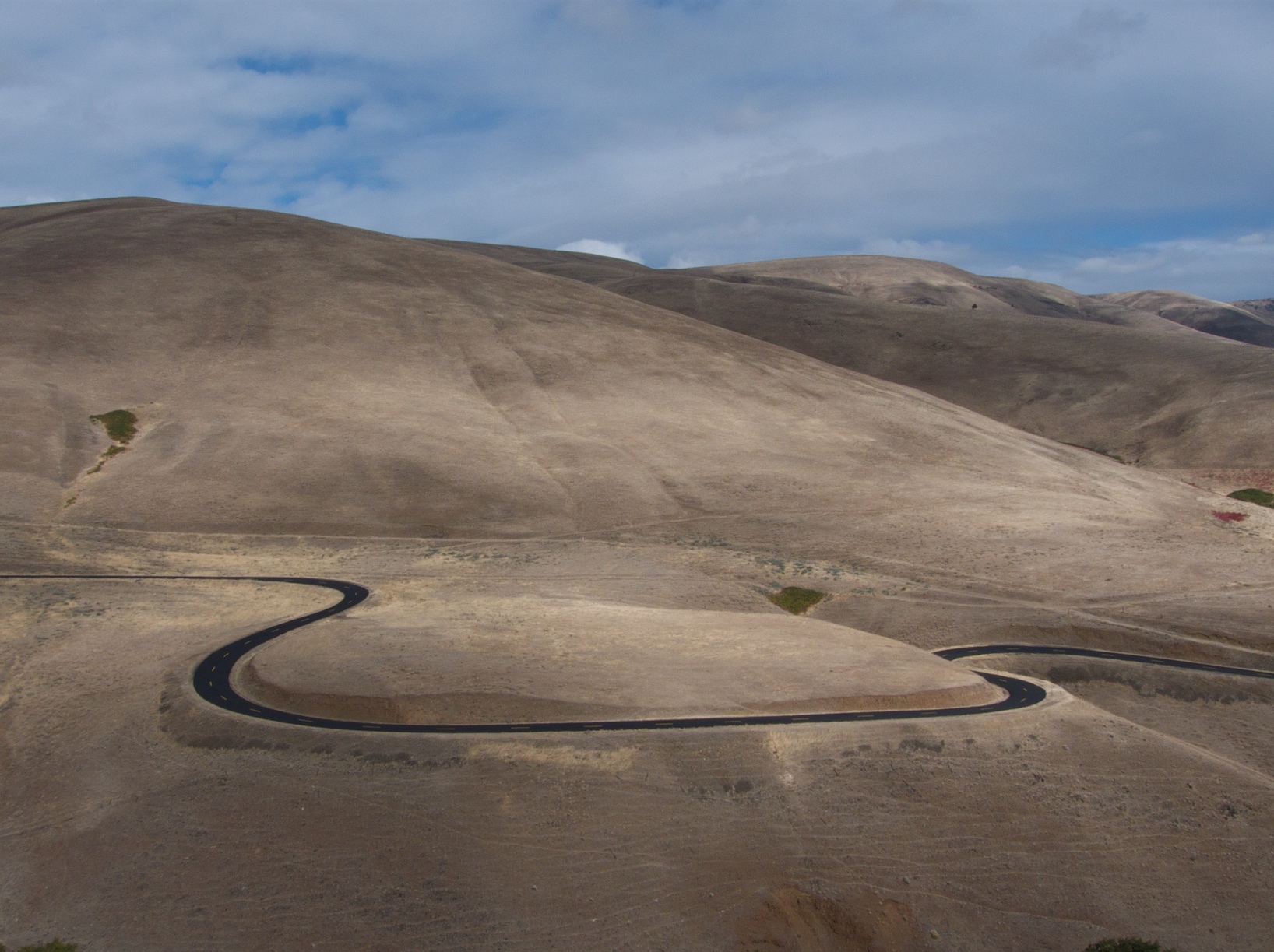
Fresh curves

Mount Adams from Klickitat Valley DSC_3003
Viewing portal

The windmills came over the horizon

View from our motel room

DSC00179 (4) Cemetery View

WA_13103_wind mills

My view today... I love the mountains.

WA_13098_scenic view
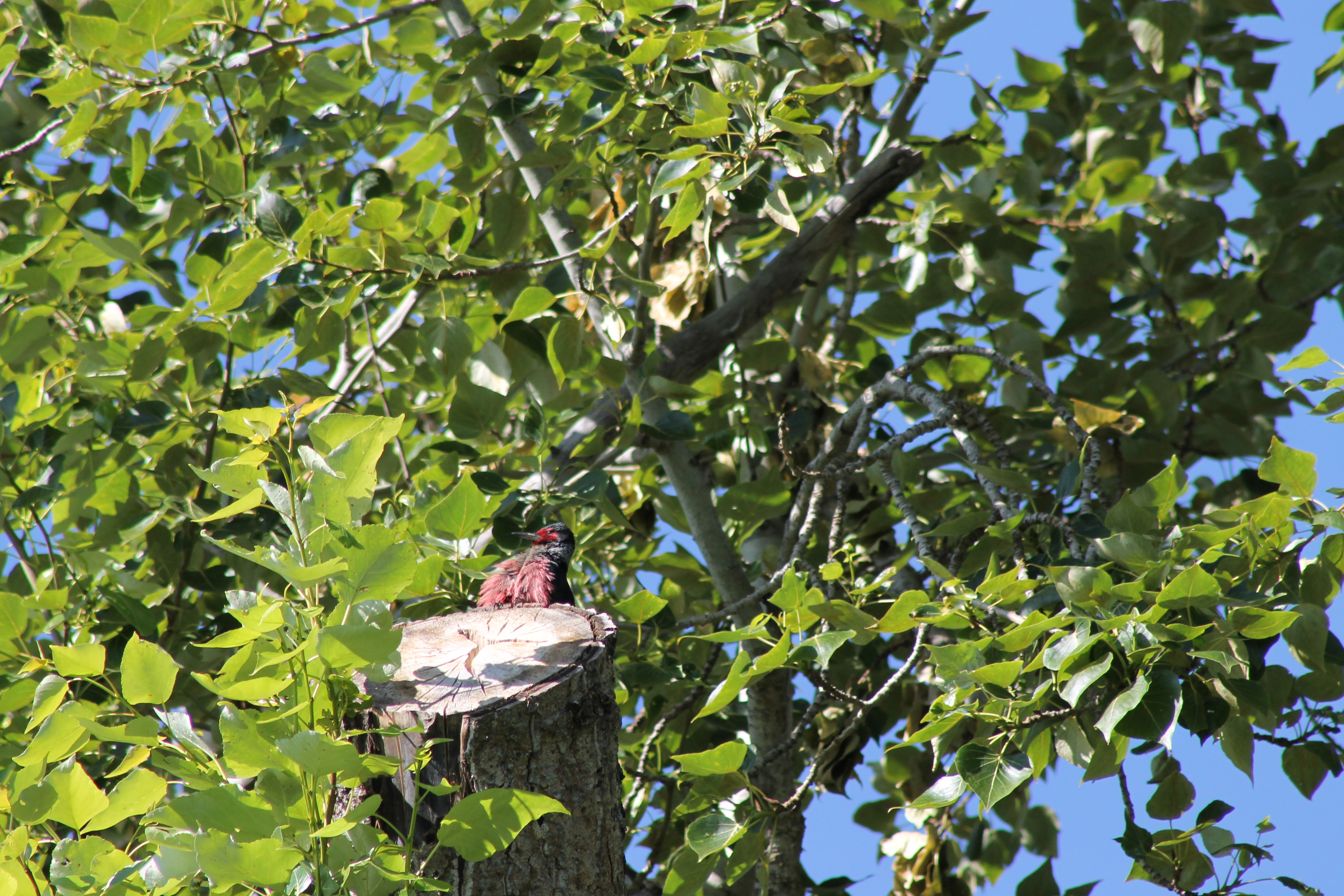
IMG_1321 Lewis Woodpecker
Mount Rainer

visible from this viewpoint

Our front yard.

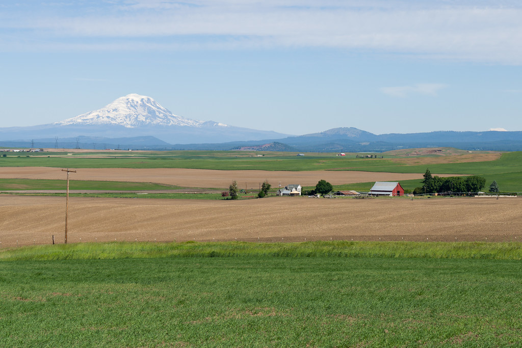
Red barn and Mount Adams

Abandoned in Klickitat County

mount adams

Mt Adams sunrise

Little Klickitat Falls
Mt St Helens

Mt Adams was almost out
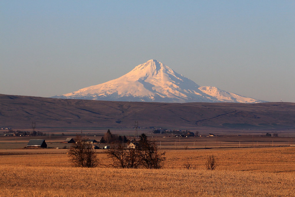
Mount Hood from Goldendale

Abandoned House, Goldendale, Washington

Windy Point/Windy Flats

Possibly a Haunted House

"You got your 'dales' mixed up!"

Sunset via window of quality inn, goldendale.
Topographic Map of Pine Forest Rd, Goldendale, WA, USA
Find elevation by address:

Places near Pine Forest Rd, Goldendale, WA, USA:
115 W Court St
Goldendale
552 Pine Forest Rd
2 Sara View Dr
1595 Us-97
35 Cole Mountain Loop
69 Van Hoy Rd
4 Bailey Loop Dr
284 Rimrock Rd
274 Rimrock Rd
770 Cedar Valley Rd
Centerville
28 Payne Ln
Trowbridge Road
Munson Prairie Road
Biggs Junction
Rufus
256 Hawks Wind Rd
256 Hawks Wind Rd
Badger Gulch Road
Recent Searches:
- Elevation of 116, Beartown Road, Underhill, Chittenden County, Vermont, 05489, USA
- Elevation of Window Rock, Colfax County, New Mexico, 87714, USA
- Elevation of 4807, Rosecroft Street, Kempsville Gardens, Virginia Beach, Virginia, 23464, USA
- Elevation map of Matawinie, Quebec, Canada
- Elevation of Sainte-Émélie-de-l'Énergie, Matawinie, Quebec, Canada
- Elevation of Rue du Pont, Sainte-Émélie-de-l'Énergie, Matawinie, Quebec, J0K2K0, Canada
- Elevation of 8, Rue de Bécancour, Blainville, Thérèse-De Blainville, Quebec, J7B1N2, Canada
- Elevation of Wilmot Court North, 163, University Avenue West, Northdale, Waterloo, Region of Waterloo, Ontario, N2L6B6, Canada
- Elevation map of Panamá Province, Panama
- Elevation of Balboa, Panamá Province, Panama
- Elevation of San Miguel, Balboa, Panamá Province, Panama
- Elevation of Isla Gibraleón, San Miguel, Balboa, Panamá Province, Panama
- Elevation of 4655, Krischke Road, Schulenburg, Fayette County, Texas, 78956, USA
- Elevation of Carnegie Avenue, Downtown Cleveland, Cleveland, Cuyahoga County, Ohio, 44115, USA
- Elevation of Walhonding, Coshocton County, Ohio, USA
- Elevation of Clifton Down, Clifton, Bristol, City of Bristol, England, BS8 3HU, United Kingdom
- Elevation map of Auvergne-Rhône-Alpes, France
- Elevation map of Upper Savoy, Auvergne-Rhône-Alpes, France
- Elevation of Chamonix-Mont-Blanc, Upper Savoy, Auvergne-Rhône-Alpes, France
- Elevation of 908, Northwood Drive, Bridge Field, Chesapeake, Virginia, 23322, USA