Elevation of US-97, Goldendale, WA, USA
Location: United States > Washington > Klickitat County > Goldendale >
Longitude: -120.77684
Latitude: 45.8588246
Elevation: 542m / 1778feet
Barometric Pressure: 95KPa
Elevation Map:
Satellite Map:
Related Photos:
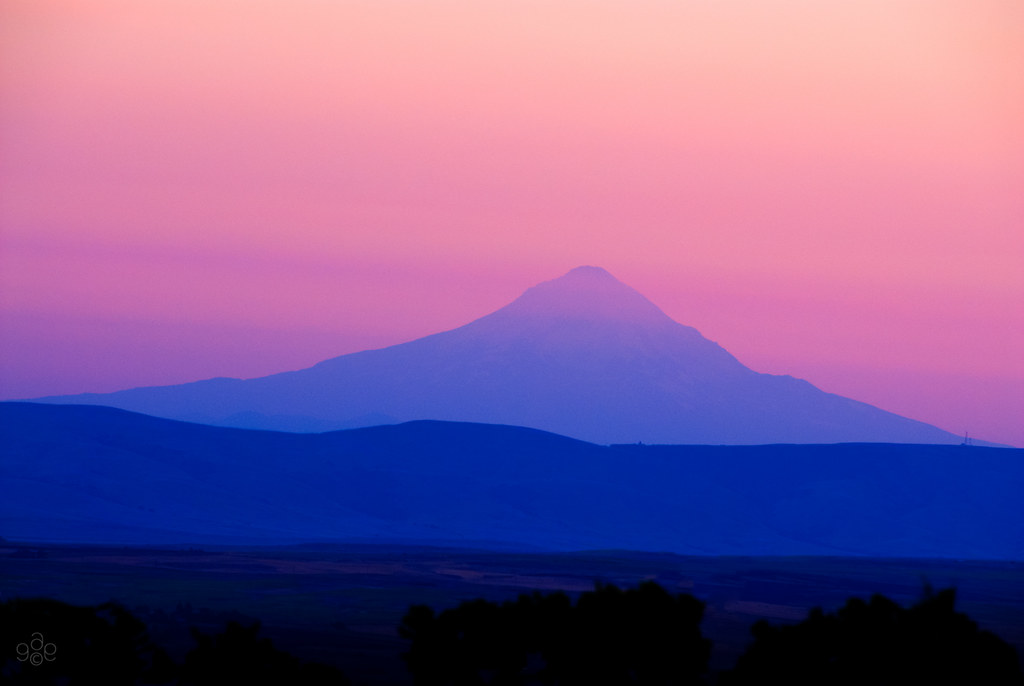
Mt Hood in twilight's pink glow

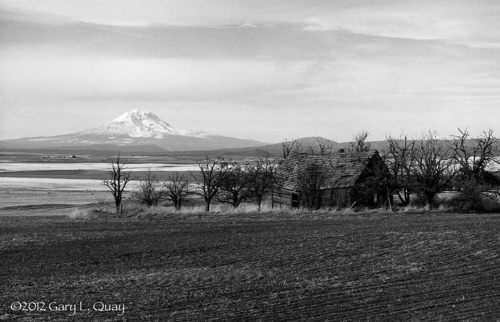
Piece of the past

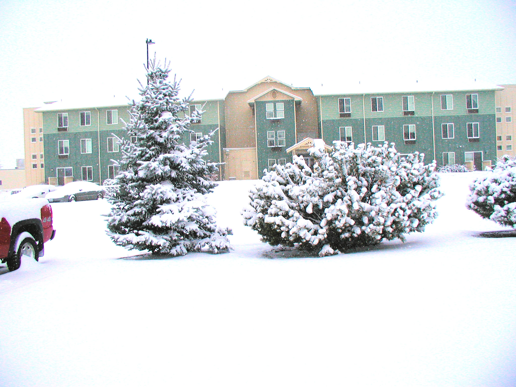
View from our motel room
Our front yard.
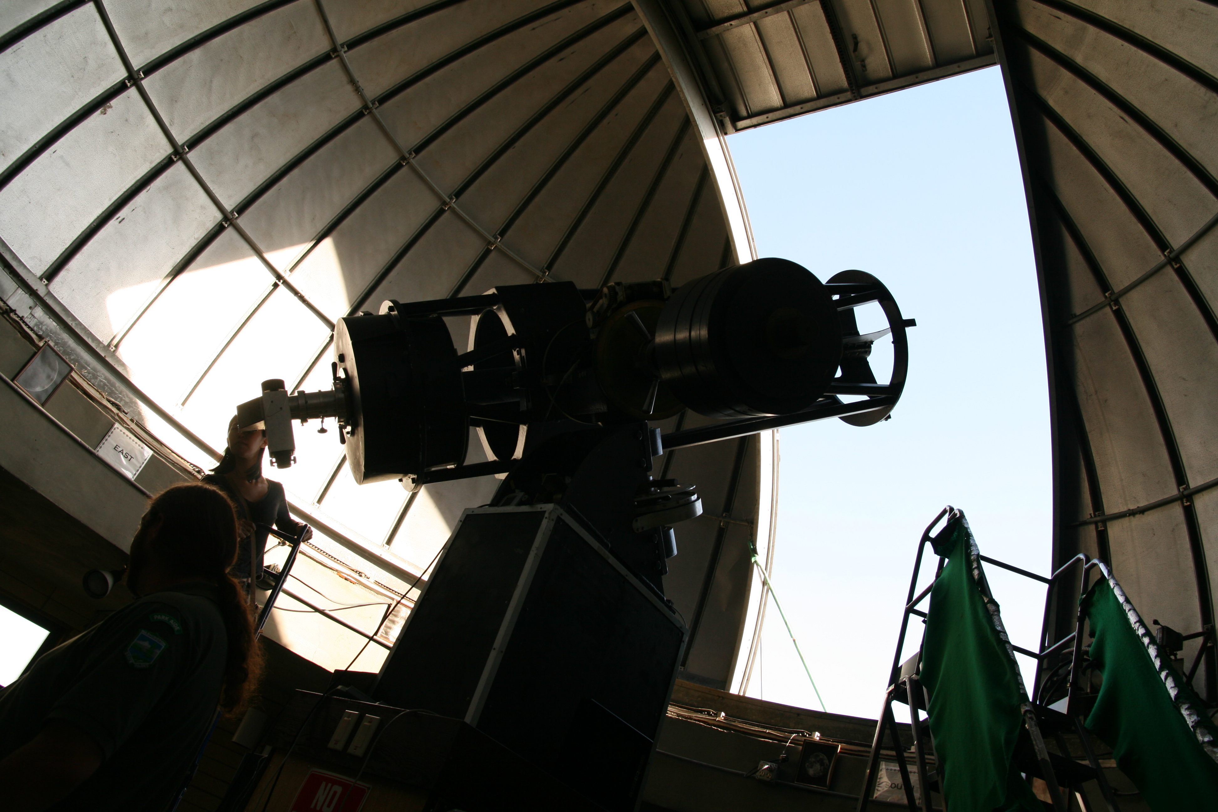
Goldendale Observatory
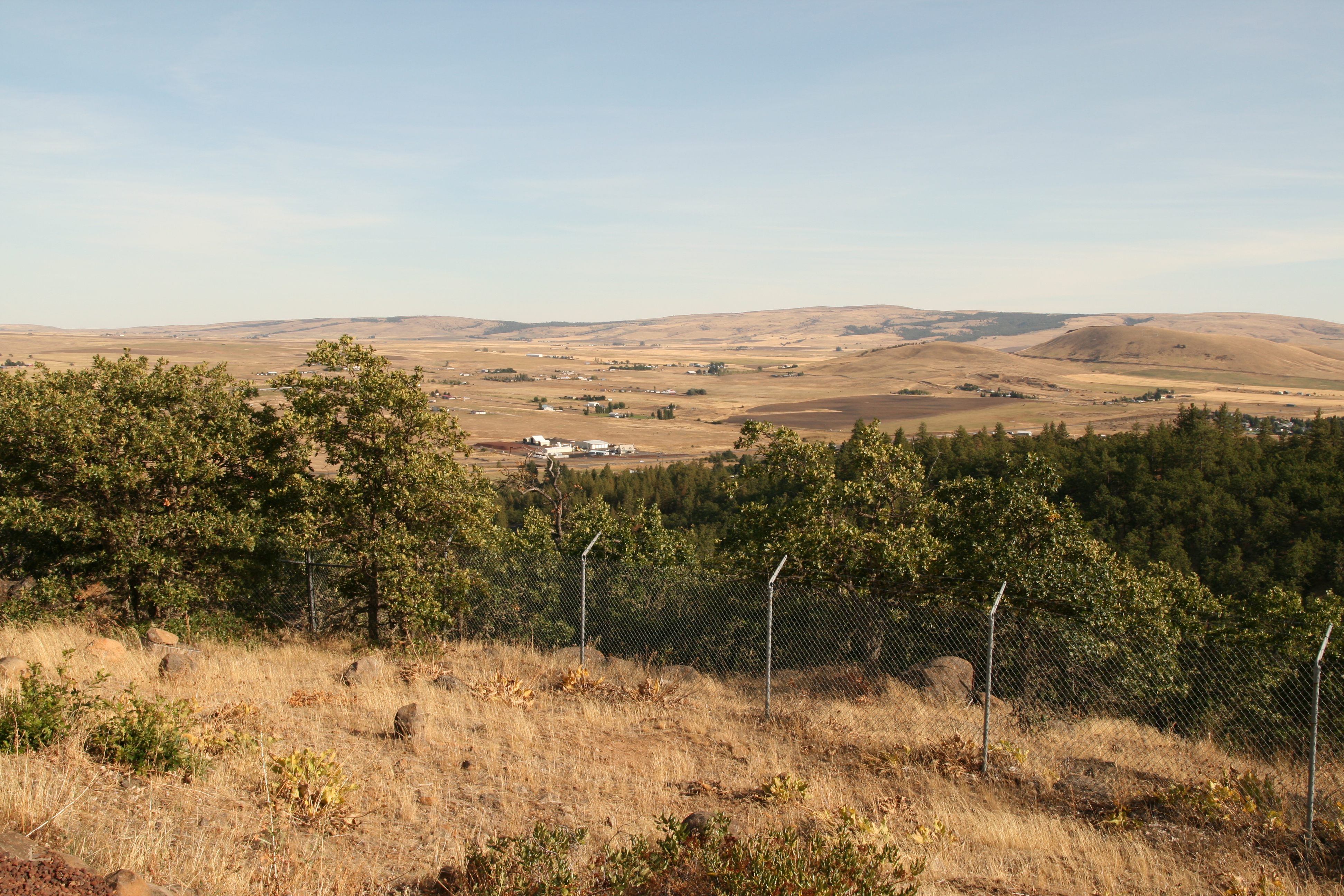
View from Goldendale Observatory
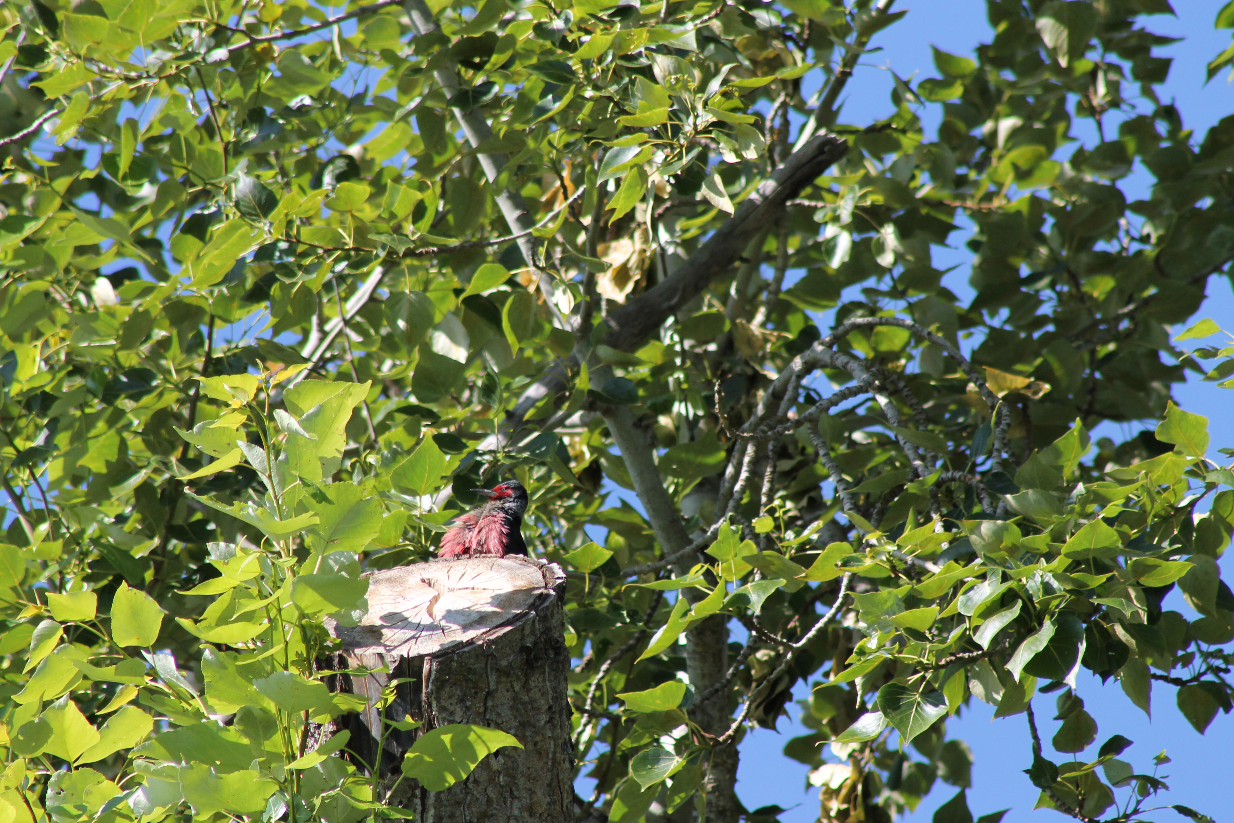
IMG_1321 Lewis Woodpecker
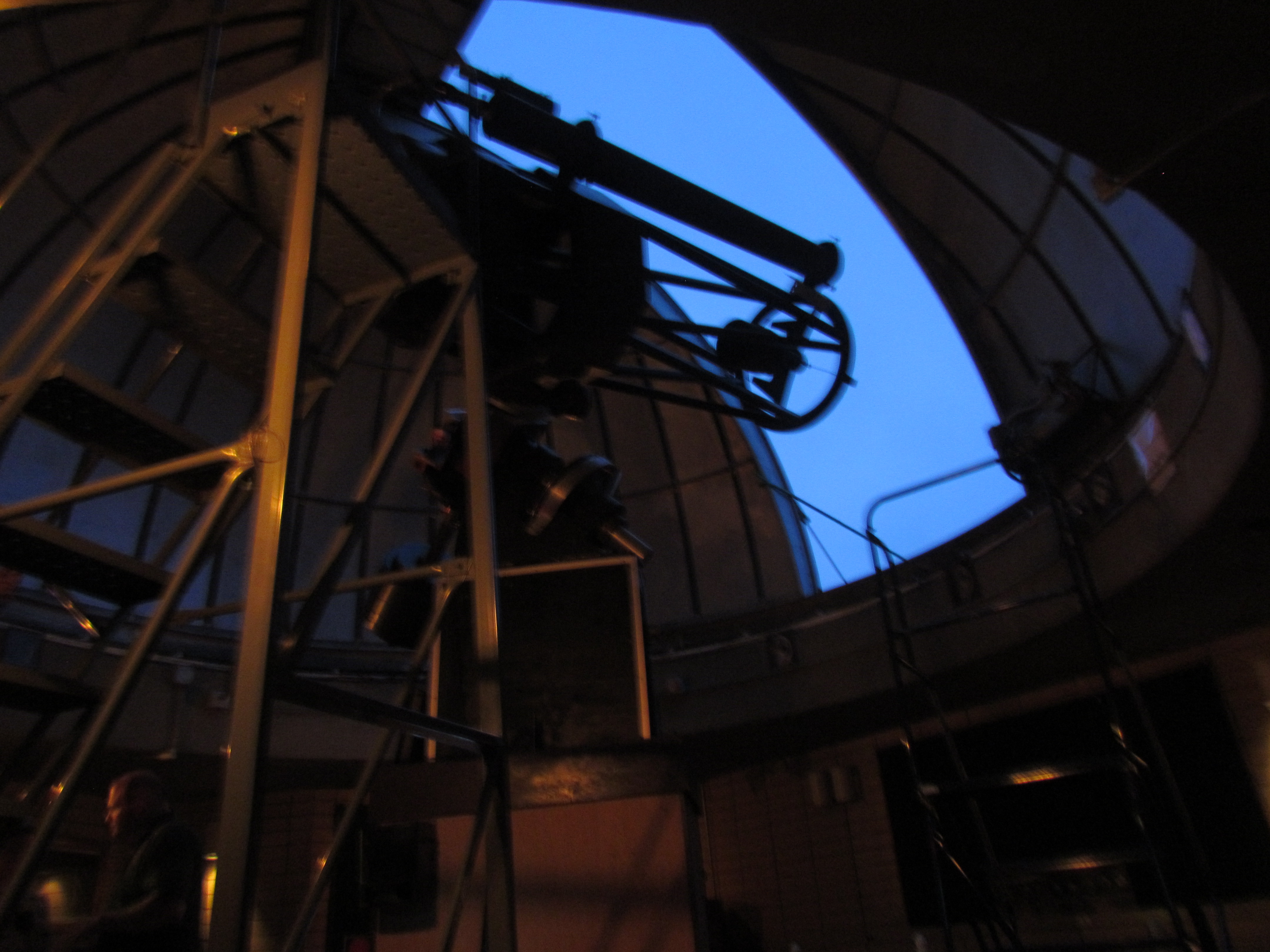
Viewing portal
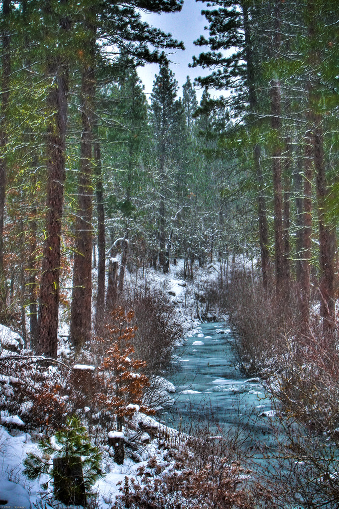
Winter Stream
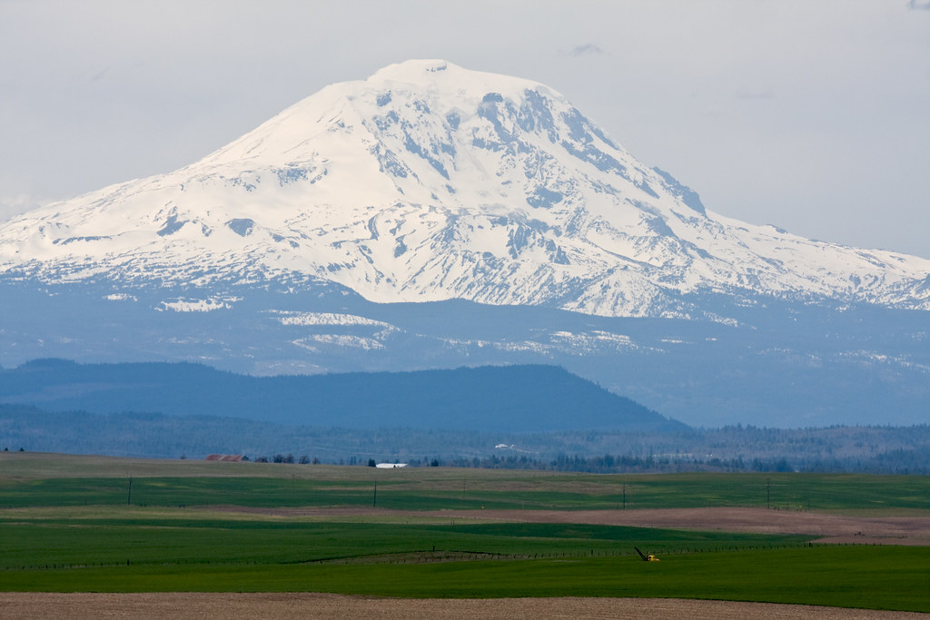
Mt Adams
My view today... I love the mountains.
Mount Adams from Klickitat Valley DSC_3003
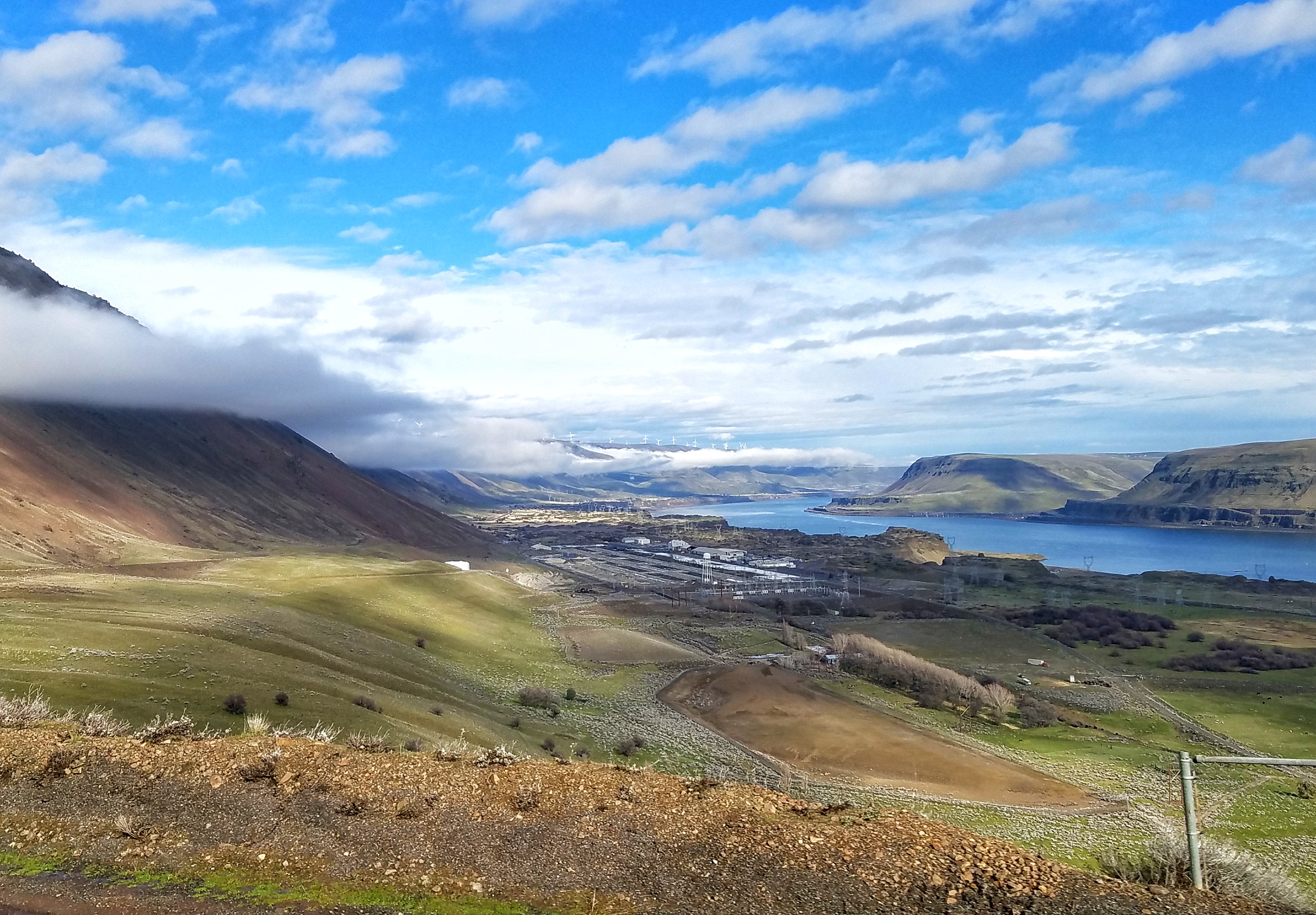
WA_13098_scenic view
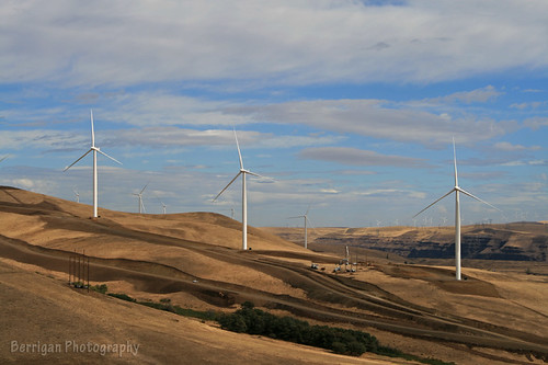
WA_13103_wind mills
Fresh curves

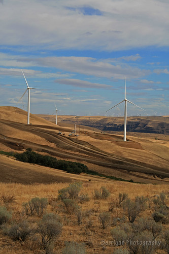
The windmills came over the horizon
visible from this viewpoint

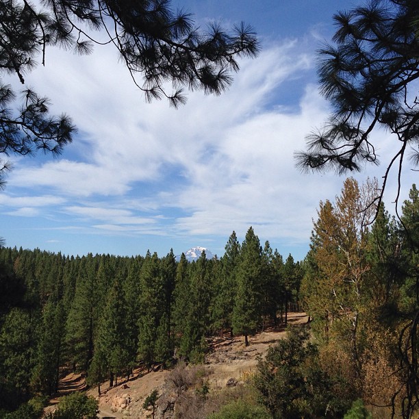
Scenic views
Maryhill Noobs Freeride 2013
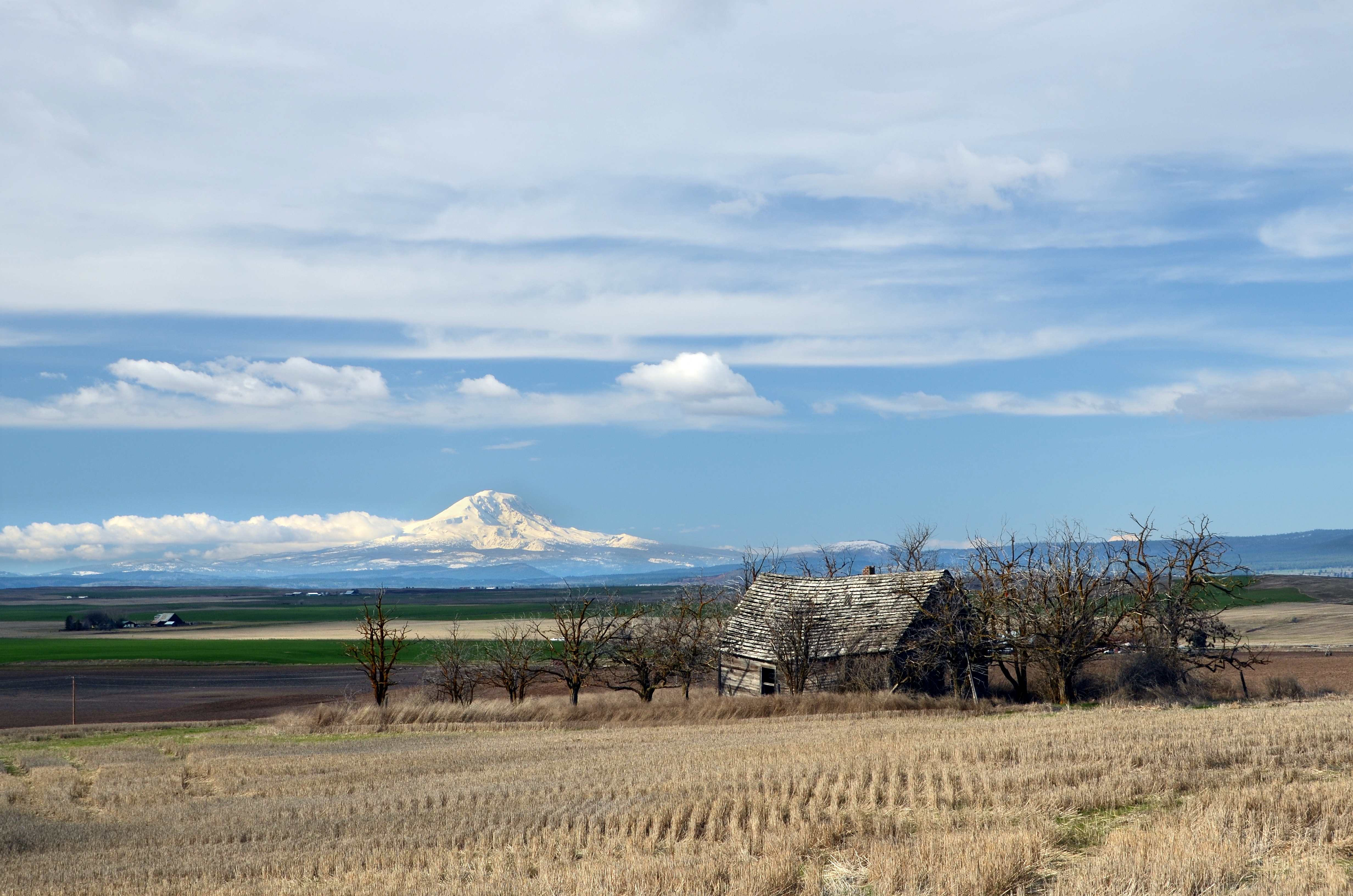
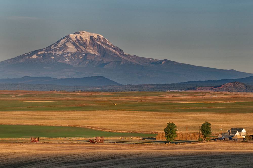
Red barn and Mount Adams
John Day Damm, Washington
Golden Adams

Windmills, Maryhill, Washington # 2
Golden Adams
Mt. Adams

mount adams

Mt Adams was almost out

Mt Adams

Maryhill Loops
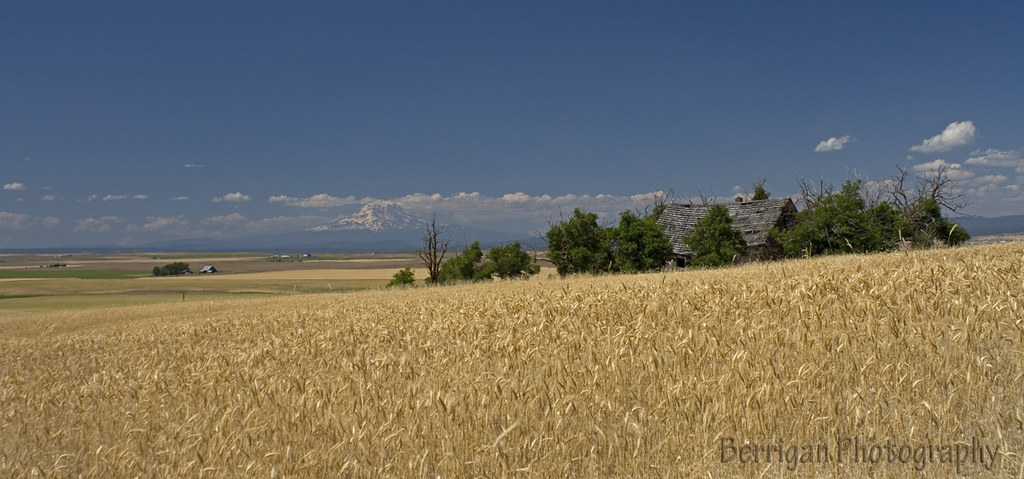
Abandoned House, Goldendale, Washington
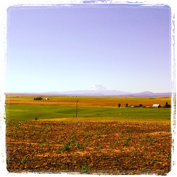
WA_10569_Mt Adams_crop

Mt Adams sunrise

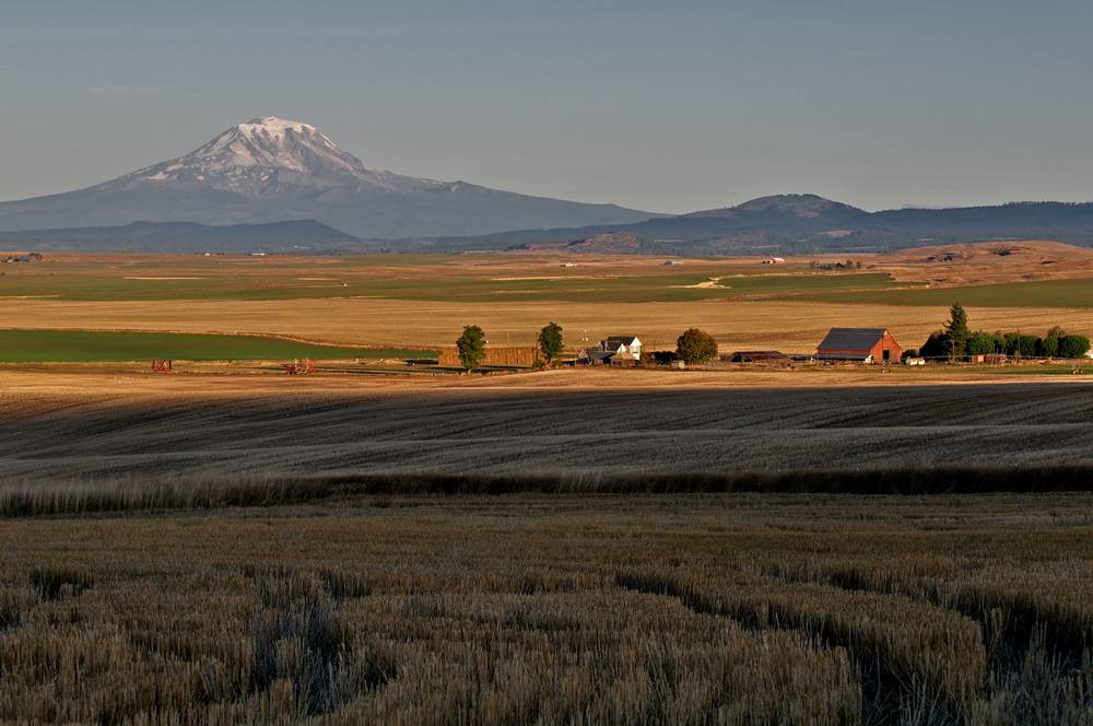
Mount Adams from Goldendale
Topographic Map of US-97, Goldendale, WA, USA
Find elevation by address:

Places near US-97, Goldendale, WA, USA:
2 Sara View Dr
284 Rimrock Rd
274 Rimrock Rd
Goldendale
115 W Court St
185 Pine Forest Rd
28 Payne Ln
4 Bailey Loop Dr
35 Cole Mountain Loop
69 Van Hoy Rd
Trowbridge Road
552 Pine Forest Rd
Munson Prairie Road
256 Hawks Wind Rd
256 Hawks Wind Rd
Badger Gulch Road
770 Cedar Valley Rd
Centerville
Rufus
1156 Ownby Rd
Recent Searches:
- Elevation of Corso Fratelli Cairoli, 35, Macerata MC, Italy
- Elevation of Tallevast Rd, Sarasota, FL, USA
- Elevation of 4th St E, Sonoma, CA, USA
- Elevation of Black Hollow Rd, Pennsdale, PA, USA
- Elevation of Oakland Ave, Williamsport, PA, USA
- Elevation of Pedrógão Grande, Portugal
- Elevation of Klee Dr, Martinsburg, WV, USA
- Elevation of Via Roma, Pieranica CR, Italy
- Elevation of Tavkvetili Mountain, Georgia
- Elevation of Hartfords Bluff Cir, Mt Pleasant, SC, USA