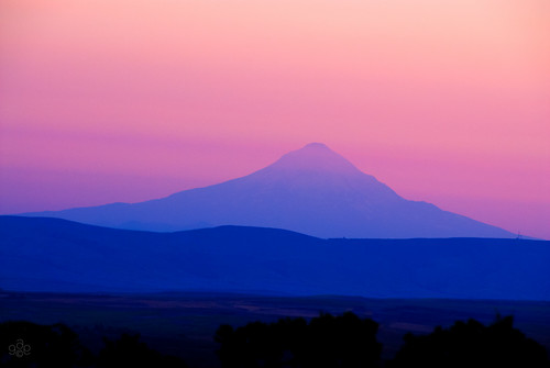
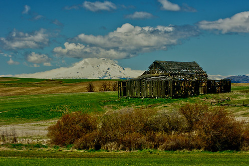
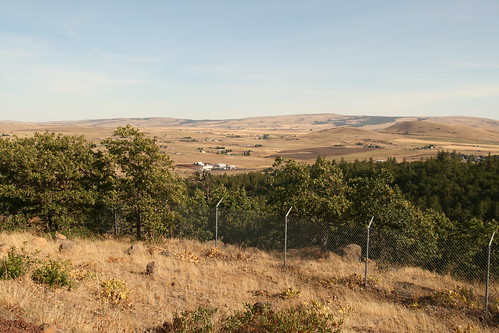
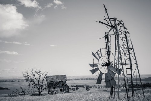
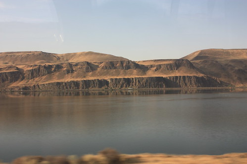
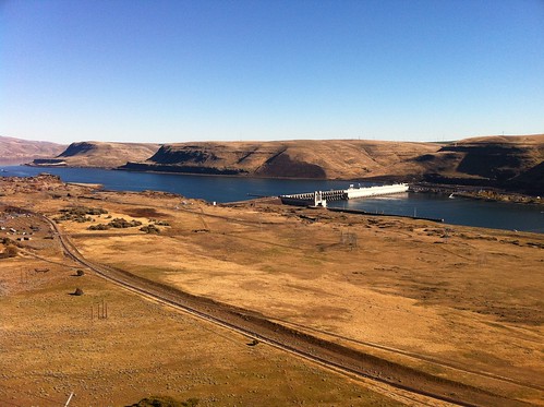
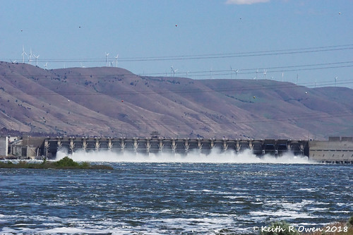
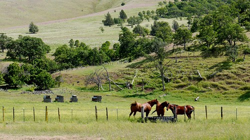
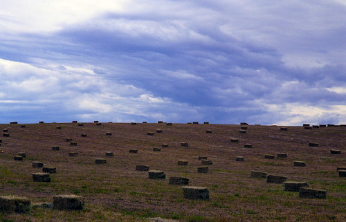
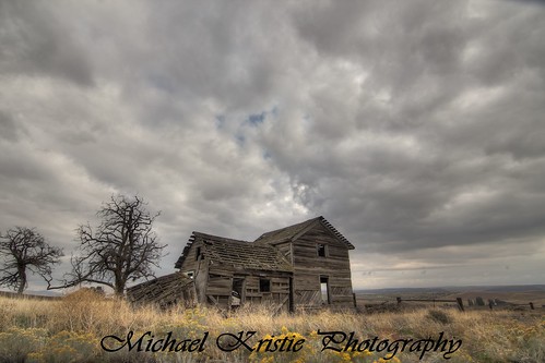
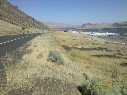
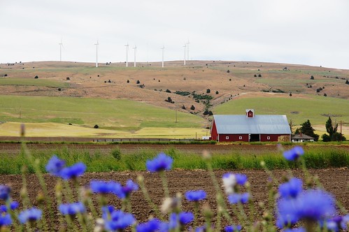
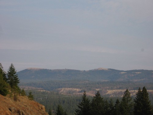
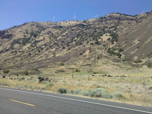
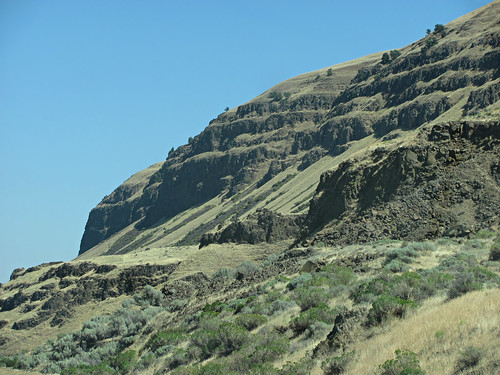
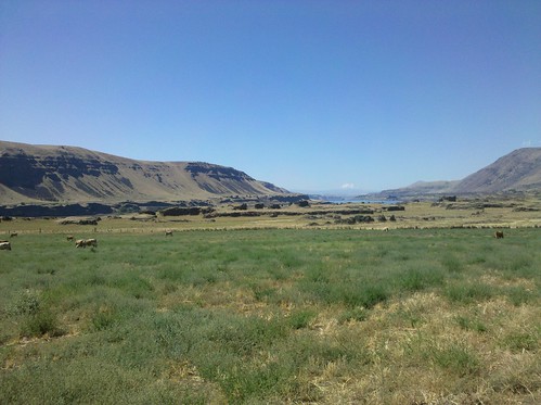
Elevation of Badger Gulch Road, Badger Gulch Rd, Washington, USA
Location: United States > Washington > Klickitat County > Goldendale >
Longitude: -120.637125
Latitude: 45.8526664
Elevation: 642m / 2106feet
Barometric Pressure: 0KPa
Related Photos:
Topographic Map of Badger Gulch Road, Badger Gulch Rd, Washington, USA
Find elevation by address:

Places near Badger Gulch Road, Badger Gulch Rd, Washington, USA:
Munson Prairie Road
28 Payne Ln
256 Hawks Wind Rd
256 Hawks Wind Rd
1156 Ownby Rd
Trowbridge Road
274 Rimrock Rd
284 Rimrock Rd
1595 Us-97
2 Sara View Dr
Rufus
Goldendale
115 W Court St
185 Pine Forest Rd
Bickleton Ridge
4 Bailey Loop Dr
69 Van Hoy Rd
35 Cole Mountain Loop
552 Pine Forest Rd
Clark St, Wasco, OR, USA
Recent Searches:
- Elevation of North 8th Street, Palatka, Putnam County, Florida, 32177, USA
- Elevation of 107, Big Apple Road, East Palatka, Putnam County, Florida, 32131, USA
- Elevation of Jiezi, Chongzhou City, Sichuan, China
- Elevation of Chongzhou City, Sichuan, China
- Elevation of Huaiyuan, Chongzhou City, Sichuan, China
- Elevation of Qingxia, Chengdu, Sichuan, China
- Elevation of Corso Fratelli Cairoli, 35, Macerata MC, Italy
- Elevation of Tallevast Rd, Sarasota, FL, USA
- Elevation of 4th St E, Sonoma, CA, USA
- Elevation of Black Hollow Rd, Pennsdale, PA, USA
- Elevation of Oakland Ave, Williamsport, PA, USA
- Elevation of Pedrógão Grande, Portugal
- Elevation of Klee Dr, Martinsburg, WV, USA
- Elevation of Via Roma, Pieranica CR, Italy
- Elevation of Tavkvetili Mountain, Georgia
- Elevation of Hartfords Bluff Cir, Mt Pleasant, SC, USA
- Elevation of SW Barberry Dr, Beaverton, OR, USA
- Elevation of Old Ahsahka Grade, Ahsahka, ID, USA
- Elevation of State Hwy F, Pacific, MO, USA
- Elevation of Chemin de Bel air, Chem. de Bel air, Mougins, France
