Elevation of Nicholas County, KY, USA
Location: United States > Kentucky >
Longitude: -84.059029
Latitude: 38.3767625
Elevation: 280m / 919feet
Barometric Pressure: 98KPa
Elevation Map:
Satellite Map:
Related Photos:
Licking River view from bridge
Front Porch View

sunset on lake
Sunrise @ Blue Licks
River at Blue Licks 2
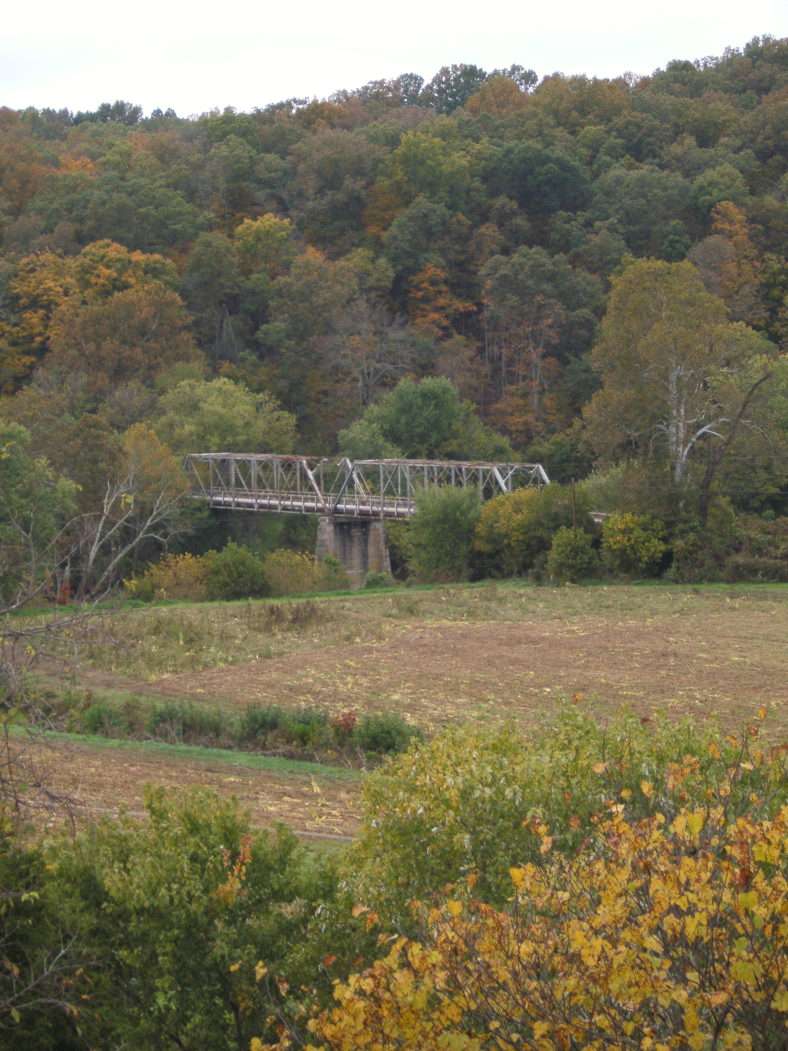
US 68 Licking River Bridge, Nicholas County, KY from new bridge
Barn near Johnson Creek covered bridge

Daisies w clover

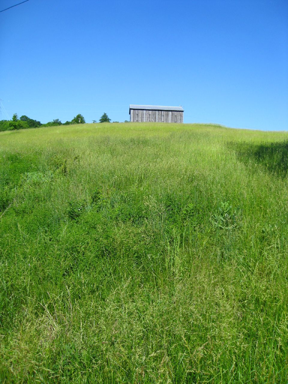
Old Kentucky Barn
Hangin on the farm today #countryfresh #countrylivin
Topographic Map of Nicholas County, KY, USA
Find elevation by address:

Places in Nicholas County, KY, USA:
Places near Nicholas County, KY, USA:
424 N Elm St
E Main St, Carlisle, KY, USA
Carlisle
Collier Rd, Cynthiana, KY, USA
Licking River
Mint Ridge Rd, Carlisle, KY, USA
Main St, Paris, KY, USA
Robertson County
Millersburg Pike, Cynthiana, KY, USA
Mount Olivet
Upper Sharpsburg Rd, Carlisle, KY, USA
60 Locust Pointe
Oddville Pike, Cynthiana, KY, USA
1649 Old Ruddles Mill Rd
KY-, Paris, KY, USA
Ewing
1054 Millersburg Rd
75 Tranquil Ln
Sharpsburg
82 Tea Run Rd, Ewing, KY, USA
Recent Searches:
- Elevation of Corso Fratelli Cairoli, 35, Macerata MC, Italy
- Elevation of Tallevast Rd, Sarasota, FL, USA
- Elevation of 4th St E, Sonoma, CA, USA
- Elevation of Black Hollow Rd, Pennsdale, PA, USA
- Elevation of Oakland Ave, Williamsport, PA, USA
- Elevation of Pedrógão Grande, Portugal
- Elevation of Klee Dr, Martinsburg, WV, USA
- Elevation of Via Roma, Pieranica CR, Italy
- Elevation of Tavkvetili Mountain, Georgia
- Elevation of Hartfords Bluff Cir, Mt Pleasant, SC, USA