Elevation of Mint Ridge Rd, Carlisle, KY, USA
Location: United States > Kentucky >
Longitude: -83.955116
Latitude: 38.393608
Elevation: 227m / 745feet
Barometric Pressure: 99KPa
Elevation Map:
Satellite Map:
Related Photos:
Licking River view from bridge
Front Porch View
Barn near Johnson Creek covered bridge

sunset on lake
Sunrise @ Blue Licks
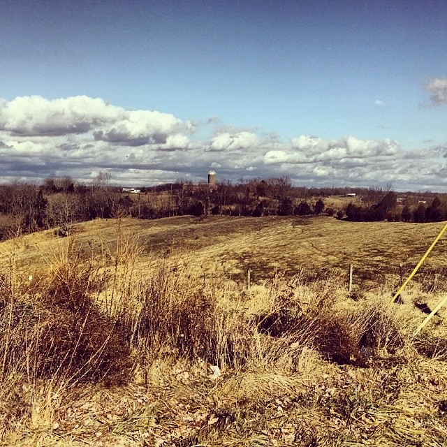
Hangin on the farm today #countryfresh #countrylivin
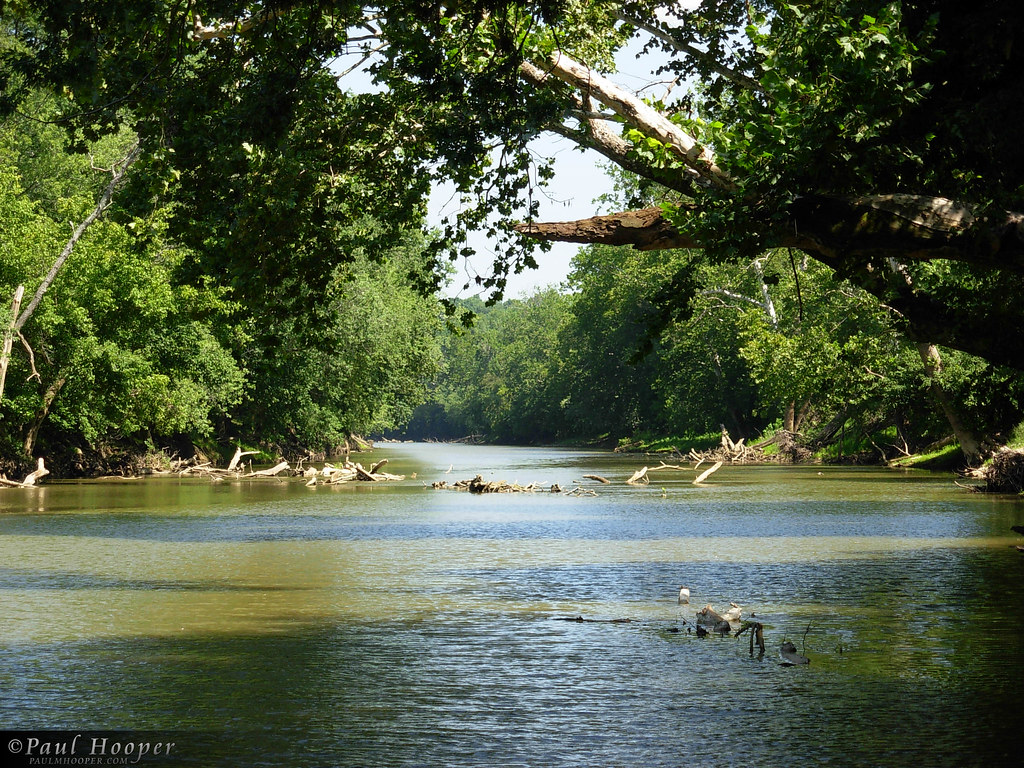
River at Blue Licks 2
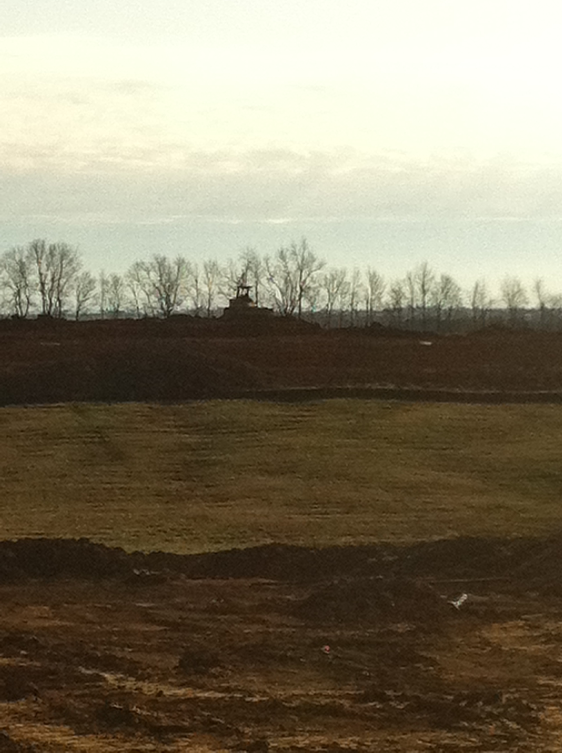
EES Construction 22
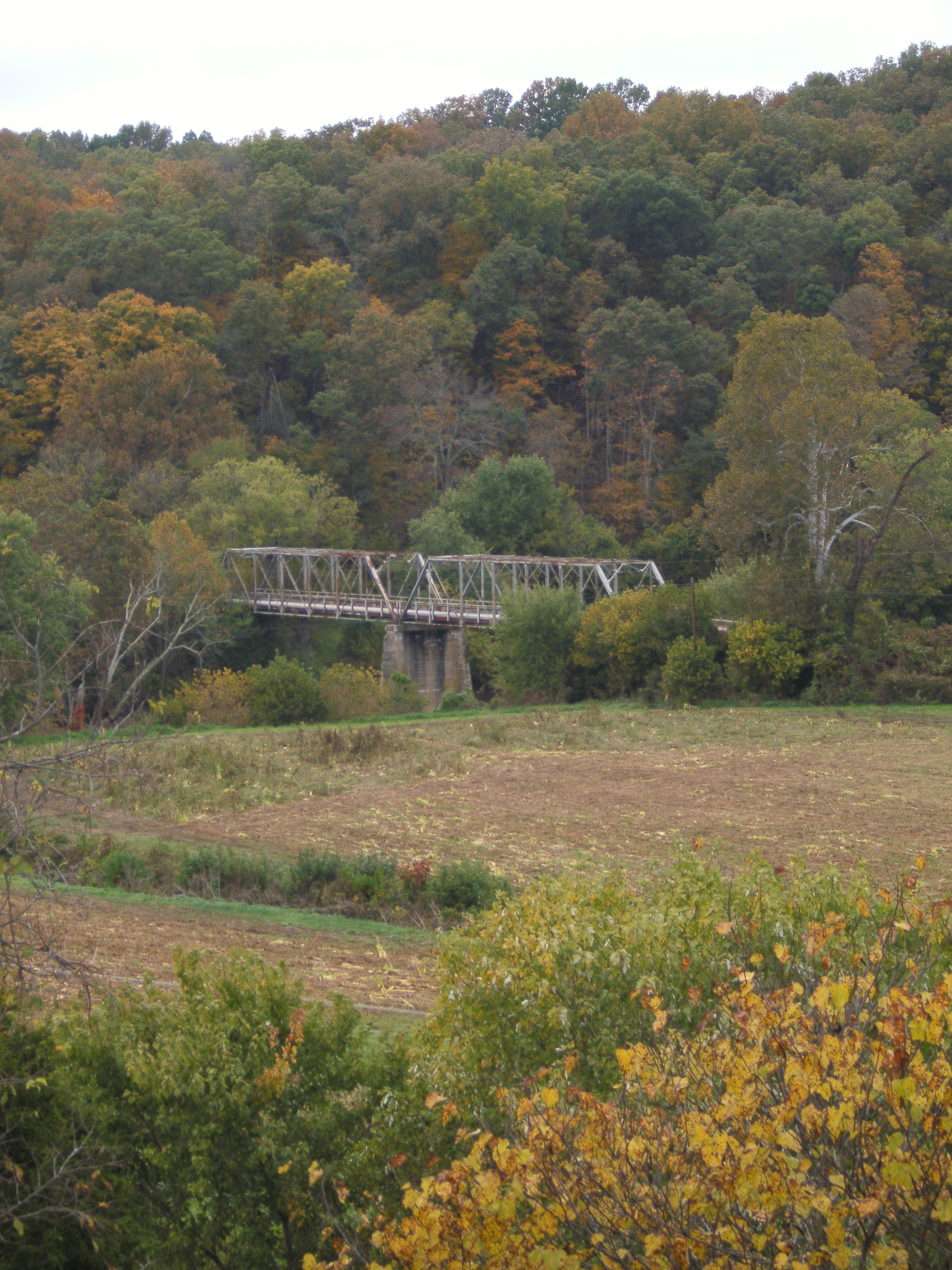
US 68 Licking River Bridge, Nicholas County, KY from new bridge
Daisies w clover

Old Kentucky Barn
Topographic Map of Mint Ridge Rd, Carlisle, KY, USA
Find elevation by address:

Places near Mint Ridge Rd, Carlisle, KY, USA:
Ewing
Nicholas County
424 N Elm St
Carlisle
E Main St, Carlisle, KY, USA
Licking River
82 Tea Run Rd, Ewing, KY, USA
53 Hilltop Rd, Ewing, KY, USA
Mayslick
Robertson County
Upper Sharpsburg Rd, Carlisle, KY, USA
60 Locust Pointe
Mount Olivet
KY-, Mayslick, KY, USA
Mays Lick
1366 Flemingsburg-mays Lick Rd
Bethel Ridge Rd, Sharpsburg, KY, USA
3 Lick Road
Pecks Ridge -tilton Road
6224 Helena Rd
Recent Searches:
- Elevation of Corso Fratelli Cairoli, 35, Macerata MC, Italy
- Elevation of Tallevast Rd, Sarasota, FL, USA
- Elevation of 4th St E, Sonoma, CA, USA
- Elevation of Black Hollow Rd, Pennsdale, PA, USA
- Elevation of Oakland Ave, Williamsport, PA, USA
- Elevation of Pedrógão Grande, Portugal
- Elevation of Klee Dr, Martinsburg, WV, USA
- Elevation of Via Roma, Pieranica CR, Italy
- Elevation of Tavkvetili Mountain, Georgia
- Elevation of Hartfords Bluff Cir, Mt Pleasant, SC, USA