Elevation of 60 Locust Pointe, Mt Olivet, KY, USA
Location: United States > Kentucky > Robertson County > Mount Olivet >
Longitude: -84.02119
Latitude: 38.5338928
Elevation: 290m / 951feet
Barometric Pressure: 98KPa
Elevation Map:
Satellite Map:
Related Photos:

Blue Licks
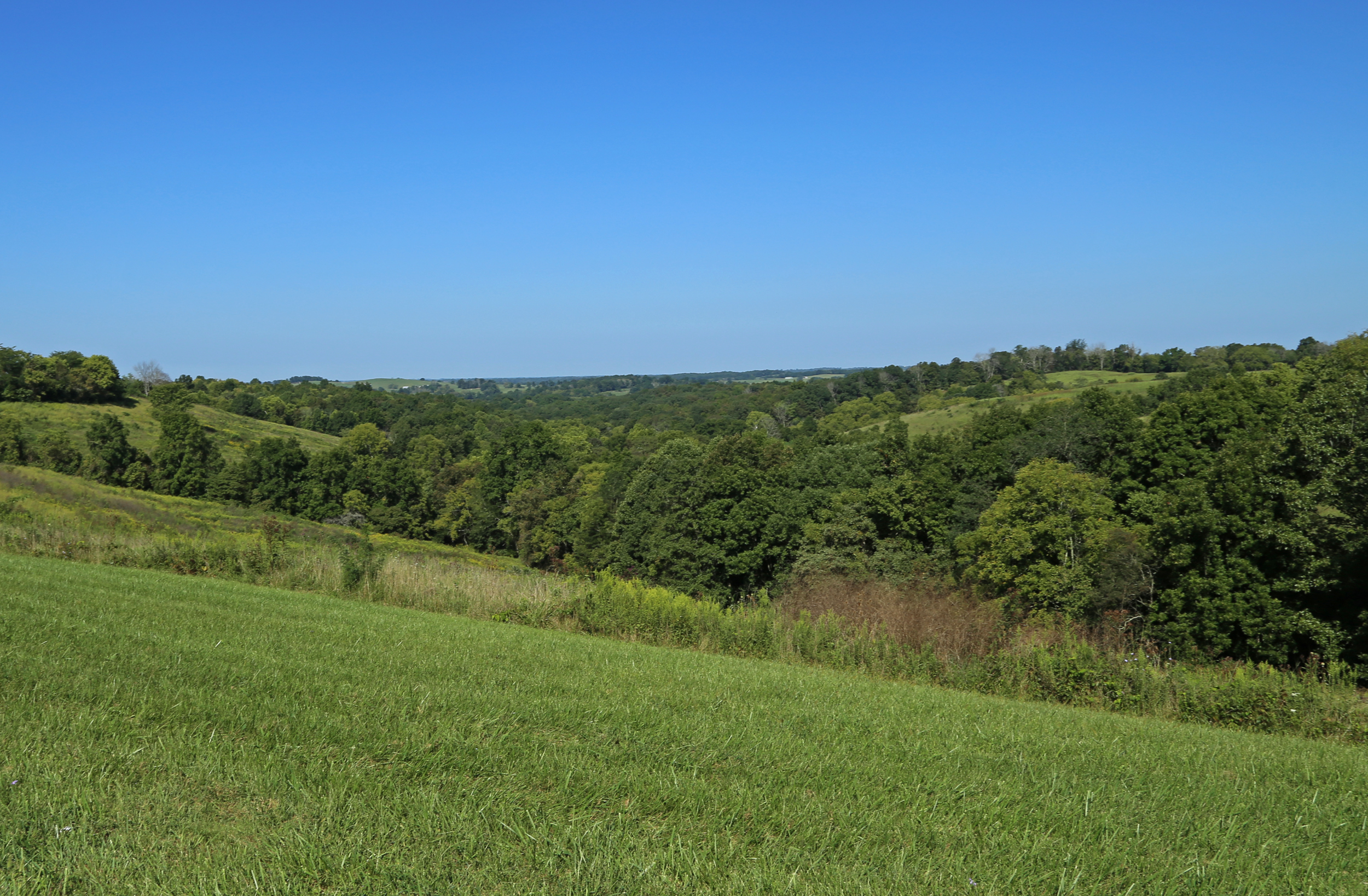
Landscape — Fairview Vicinity, Fleming County, Kentucky

Licking River view from bridge

Landscape — Fairview Vicinity, Fleming County, Kentucky

Landscape — Fairview Vicinity, Fleming County, Kentucky

New Corinth

Old US Hwy 68 Licking River Bridge

US 68 Licking River Bridge, Nicholas County, KY from new bridge

Mitchell Farm — May's Lick Vicinity, Mason County, Kentucky

Sunrise @ Blue Licks

Barn near Johnson Creek covered bridge

Hangin on the farm today #countryfresh #countrylivin

Daisies w clover

River at Blue Licks 2
Topographic Map of 60 Locust Pointe, Mt Olivet, KY, USA
Find elevation by address:

Places near 60 Locust Pointe, Mt Olivet, KY, USA:
3 Lick Road
Mayslick
Mason County
Mays Lick
1366 Flemingsburg-mays Lick Rd
2339 Cottonwood Ct
6224 Helena Rd
S Court St, Maysville, KY, USA
Old Washington
2279 Paxton Inn Dr
Boone Ave, Maysville, KY, USA
522 Valentine Dr
KY-11, Mayslick, KY, USA
404 W 2nd St
33 E 2nd St
Taylor Mill Rd, Maysville, KY, USA
Aberdeen
Maysville
Mason Lewis Rd, Maysville, KY, USA
Recent Searches:
- Elevation of Corso Fratelli Cairoli, 35, Macerata MC, Italy
- Elevation of Tallevast Rd, Sarasota, FL, USA
- Elevation of 4th St E, Sonoma, CA, USA
- Elevation of Black Hollow Rd, Pennsdale, PA, USA
- Elevation of Oakland Ave, Williamsport, PA, USA
- Elevation of Pedrógão Grande, Portugal
- Elevation of Klee Dr, Martinsburg, WV, USA
- Elevation of Via Roma, Pieranica CR, Italy
- Elevation of Tavkvetili Mountain, Georgia
- Elevation of Hartfords Bluff Cir, Mt Pleasant, SC, USA