Elevation of Valentine Dr, Maysville, KY, USA
Location: United States > Kentucky > Mason County > Maysville >
Longitude: -83.788743
Latitude: 38.6384535
Elevation: 267m / 876feet
Barometric Pressure: 98KPa
Elevation Map:
Satellite Map:
Related Photos:
Morning Glory
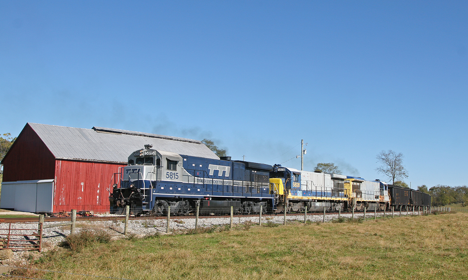
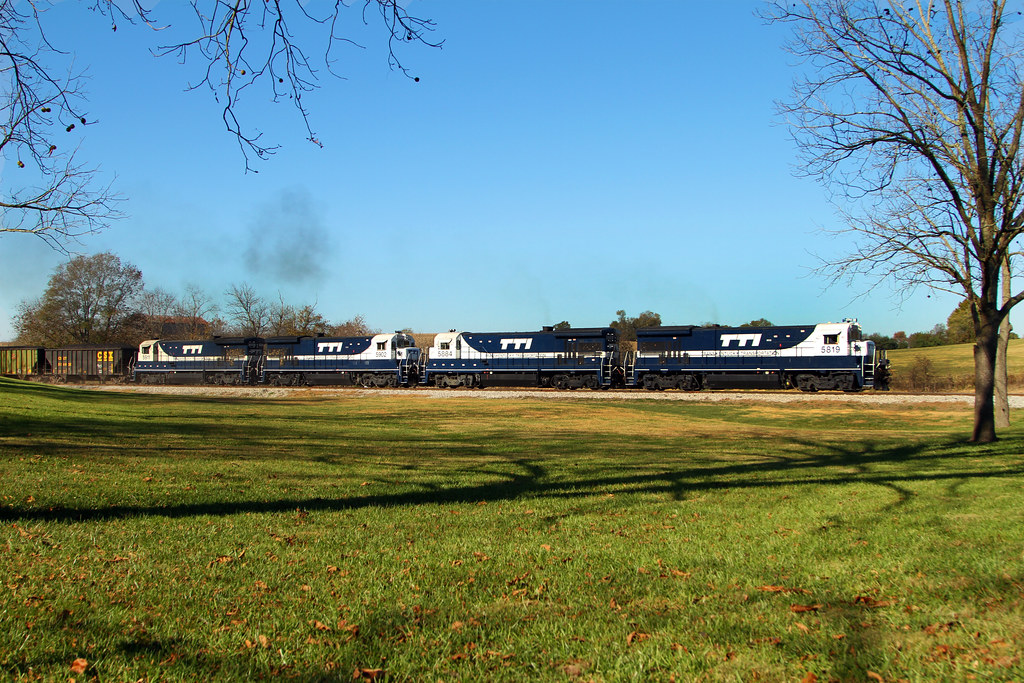
TTI 5819capronis
Backwards We Go
A Taste Of Maysville

Street level view of a Rock City Barn
John Rankin National Historic Site - Ripley, Ohio
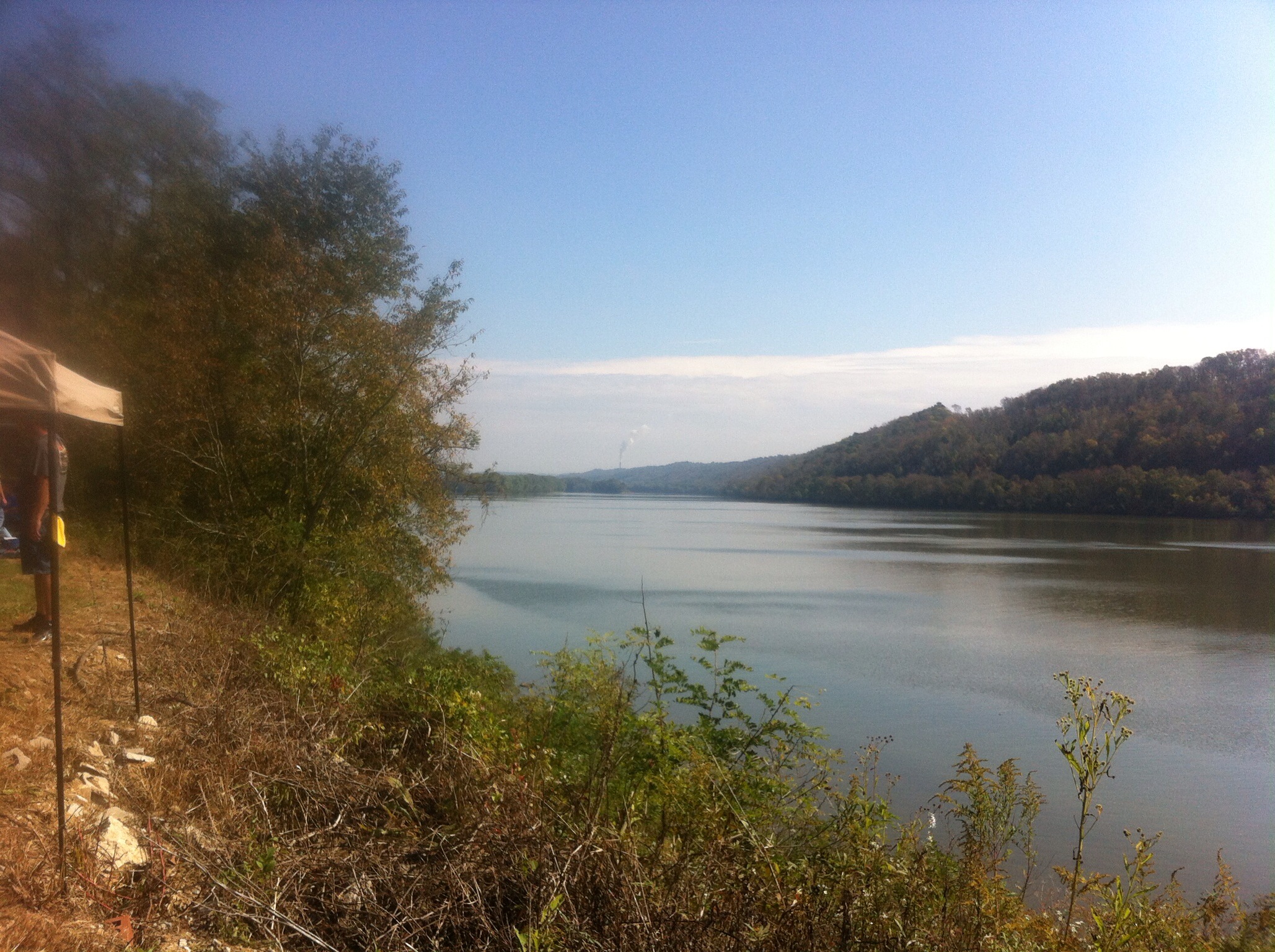
Fishing Gut Creek Valley
Chug Chug
View From a New Bridge
The Rankin House: Ripley Ohio
First view
Ohio River, Ripley (Ohio), 19 July 2005

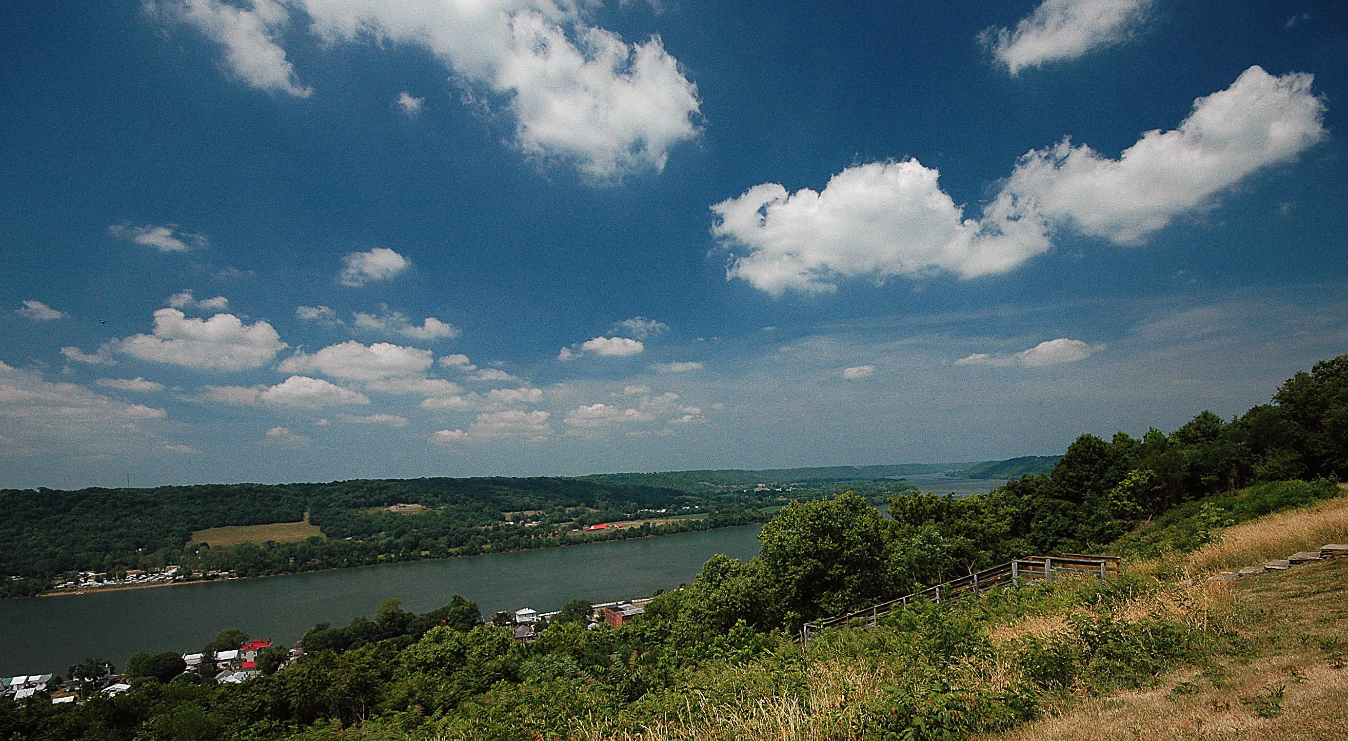
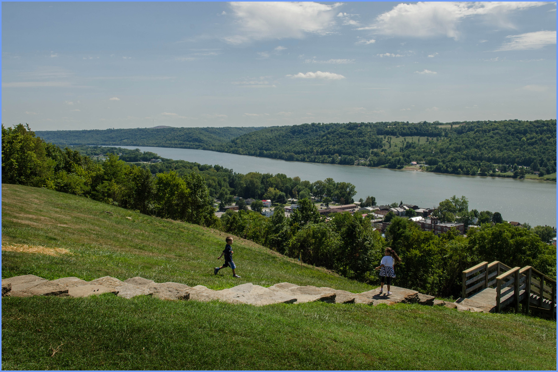
Ohio River- View of Maysville, KY
Upstream view of bridge

Rock Empties at Strodes Run
Pushers at Strodes Run
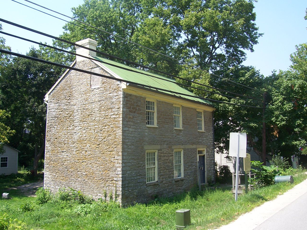
Day 4k Old Washington Stone House 2

Maysville Limestone Kentucky

Ohio River, Ripley (Ohio), 19 July 2005
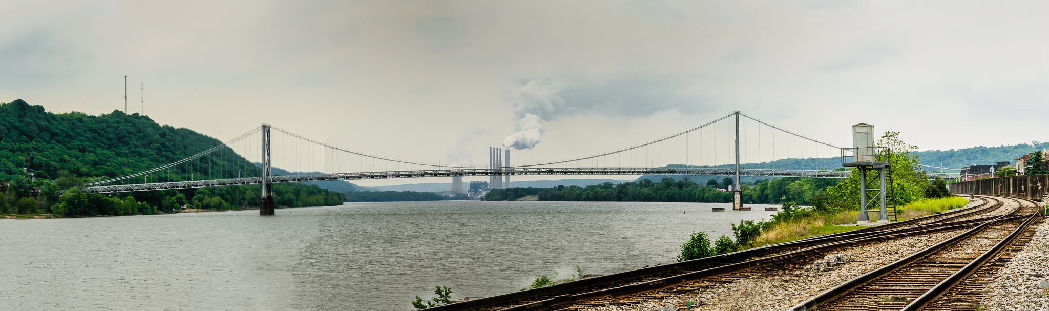
Simon Kenton Memorial Bridge, Maysville Kentucky
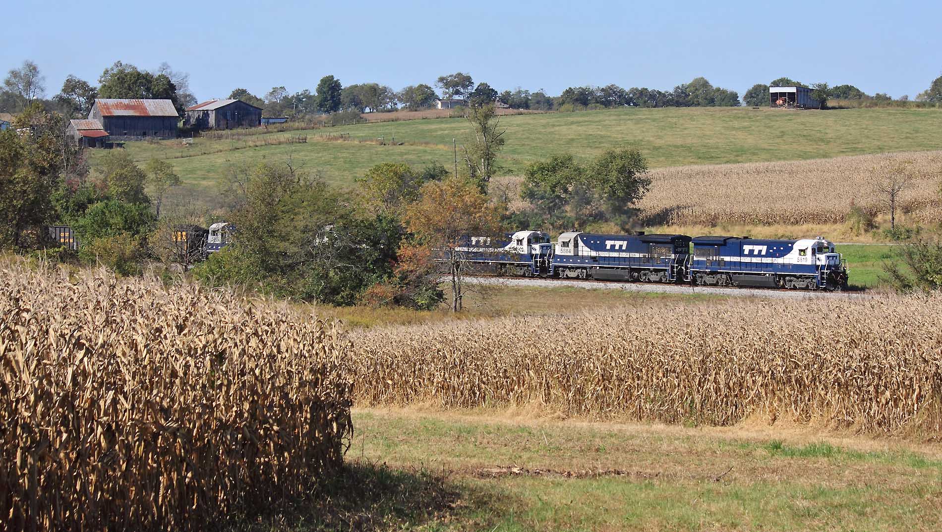
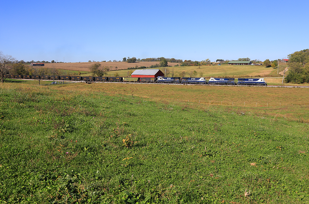
The brown corn of Fall and Blue & White GE's near Clarks Station
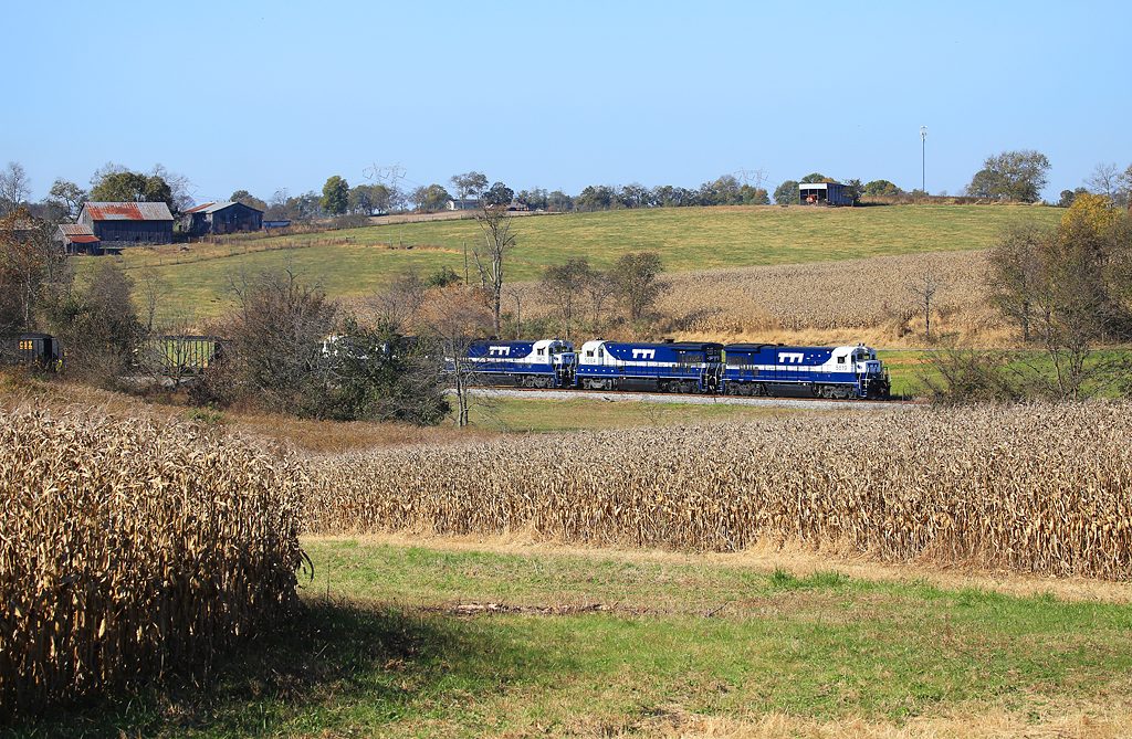
TTI NB Coal @ Somo

P5192585.jpg
Hill City Road
Hill City Road
Mason County Farm
Open Pastures

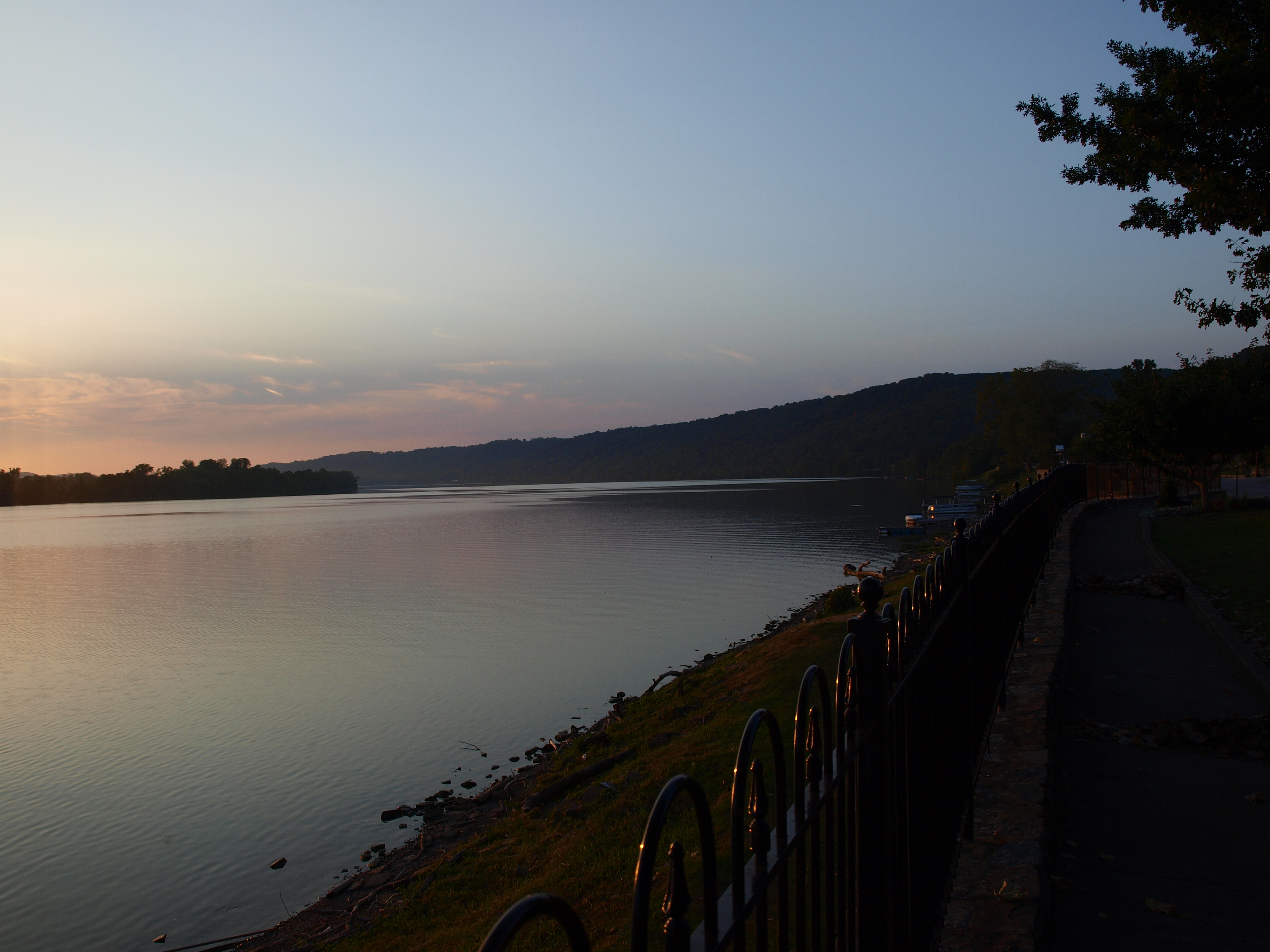
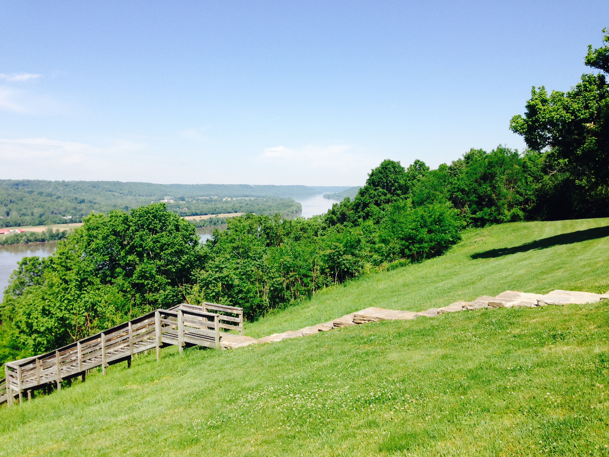
Ohio River
Ohio River from John Rankin Natl. Historic Site - Ripley, Ohio
Clark Station
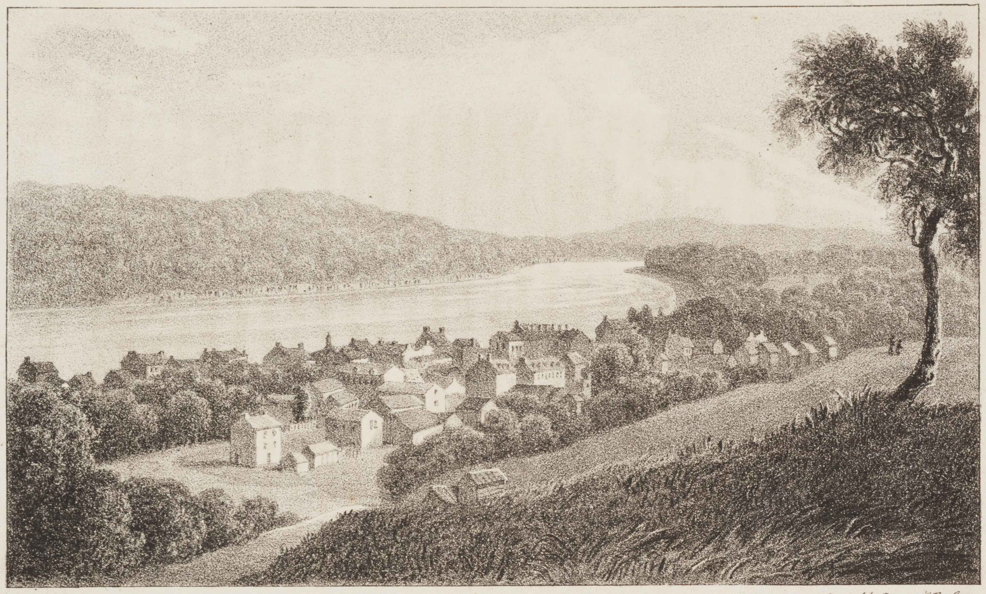
Maysville, on the Ohio, Kentucky
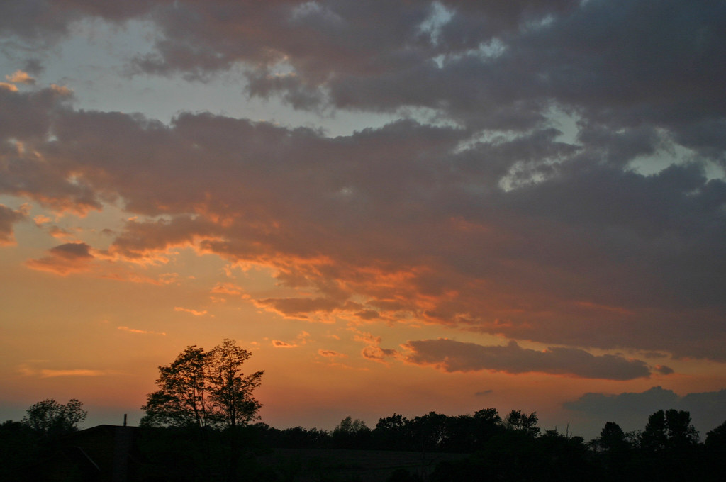
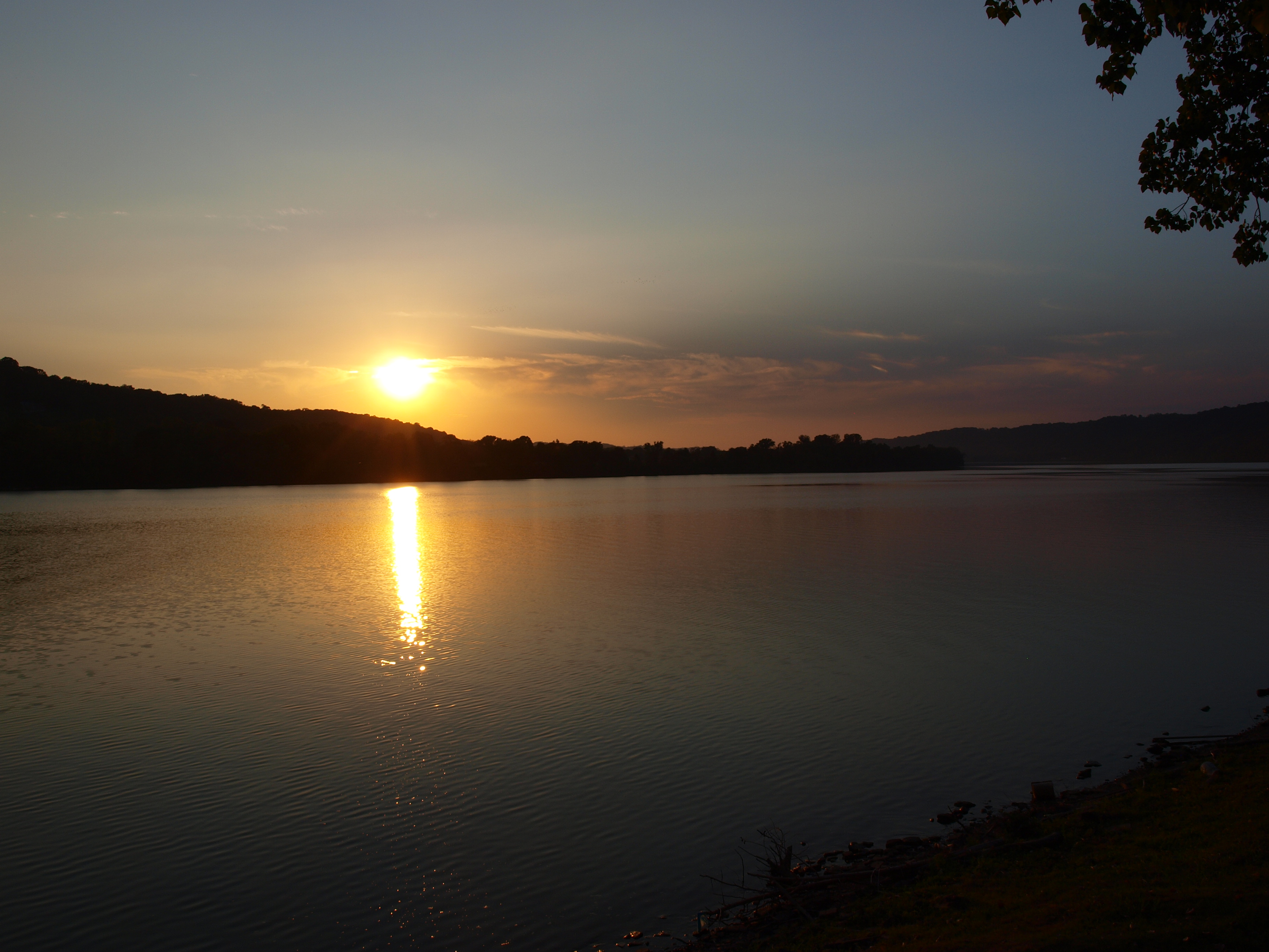
Ohio River at sunset, Ripley, Ohio

Picnic Trail
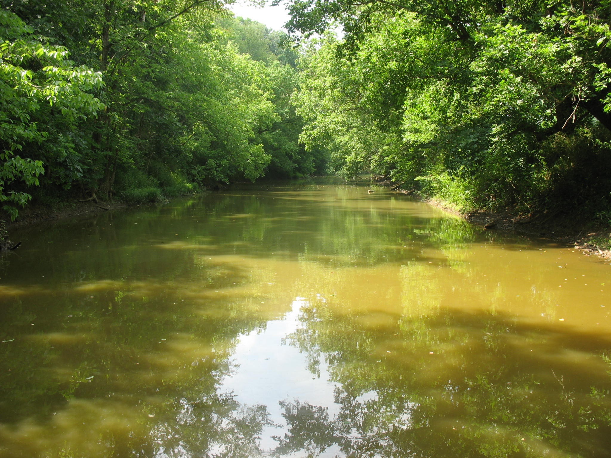
North Fork
jack Roush day 2013
...
Ohio River at sunset, Ripley, Ohio
Swisher Family Reunion 2014
Ohio River in Ripley, Ohio
John Rankin Property - Underground Railroad Station / Ripley, Ohio
Topographic Map of Valentine Dr, Maysville, KY, USA
Find elevation by address:

Places near Valentine Dr, Maysville, KY, USA:
Boone Ave, Maysville, KY, USA
404 W 2nd St
33 E 2nd St
2279 Paxton Inn Dr
Old Washington
S Court St, Maysville, KY, USA
Aberdeen
Maysville
2339 Cottonwood Ct
Taylor Mill Rd, Maysville, KY, USA
Mason County
Mason Lewis Rd, Maysville, KY, USA
6224 Helena Rd
Mays Lick
1366 Flemingsburg-mays Lick Rd
KY-11, Mayslick, KY, USA
3 Lick Road
Mayslick
60 Locust Pointe
Recent Searches:
- Elevation of Corso Fratelli Cairoli, 35, Macerata MC, Italy
- Elevation of Tallevast Rd, Sarasota, FL, USA
- Elevation of 4th St E, Sonoma, CA, USA
- Elevation of Black Hollow Rd, Pennsdale, PA, USA
- Elevation of Oakland Ave, Williamsport, PA, USA
- Elevation of Pedrógão Grande, Portugal
- Elevation of Klee Dr, Martinsburg, WV, USA
- Elevation of Via Roma, Pieranica CR, Italy
- Elevation of Tavkvetili Mountain, Georgia
- Elevation of Hartfords Bluff Cir, Mt Pleasant, SC, USA