Elevation of KY-11, Mayslick, KY, USA
Location: United States > Kentucky > Mason County >
Longitude: -83.757176
Latitude: 38.5006828
Elevation: 258m / 846feet
Barometric Pressure: 98KPa
Elevation Map:
Satellite Map:
Related Photos:

Morning Glory
Chug Chug

Rock Empties at Strodes Run
Pushers at Strodes Run
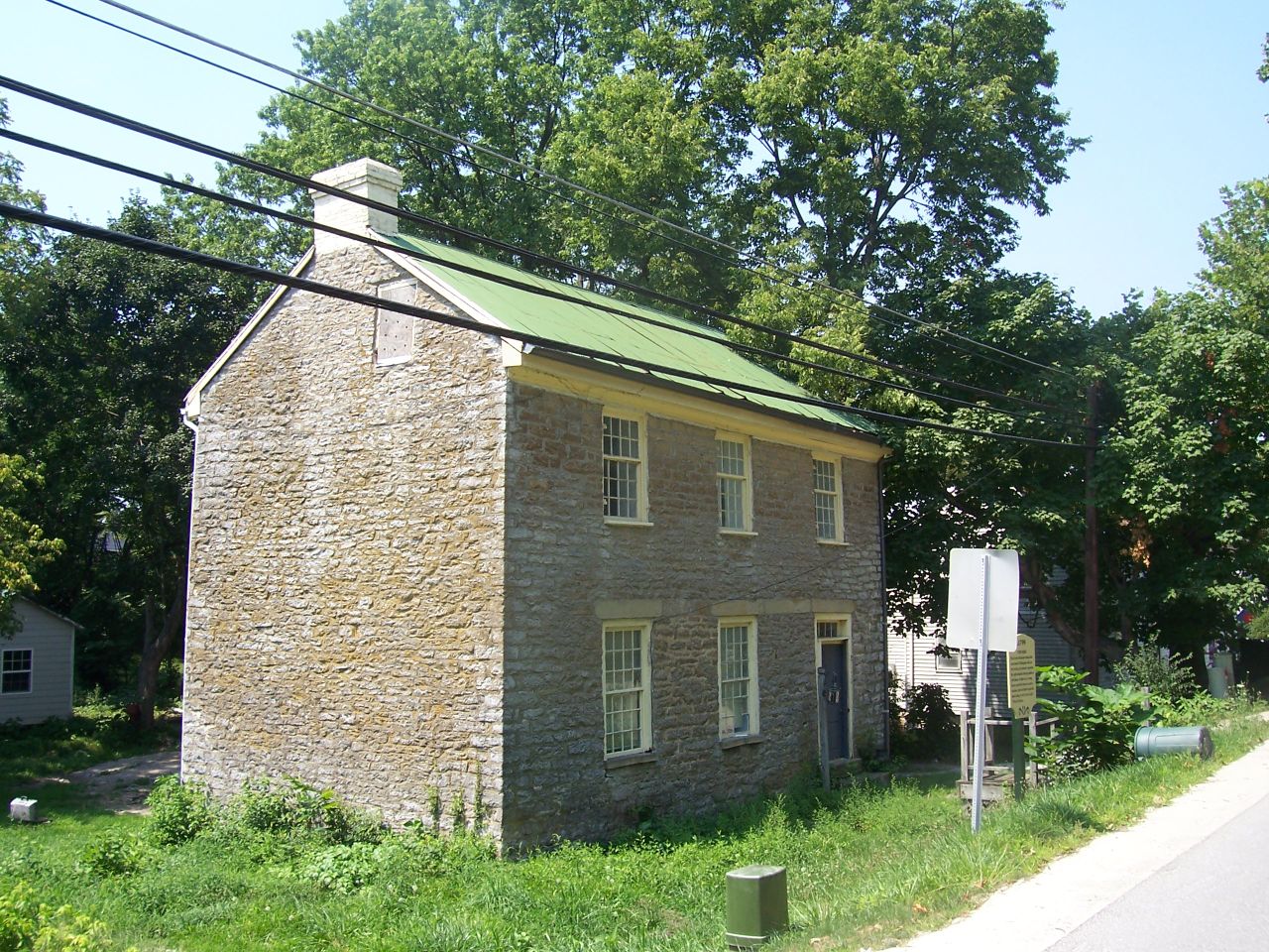
Day 4k Old Washington Stone House 2
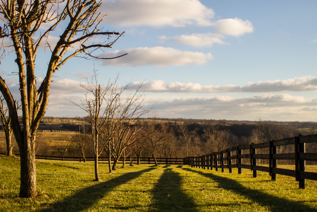
fence shadow
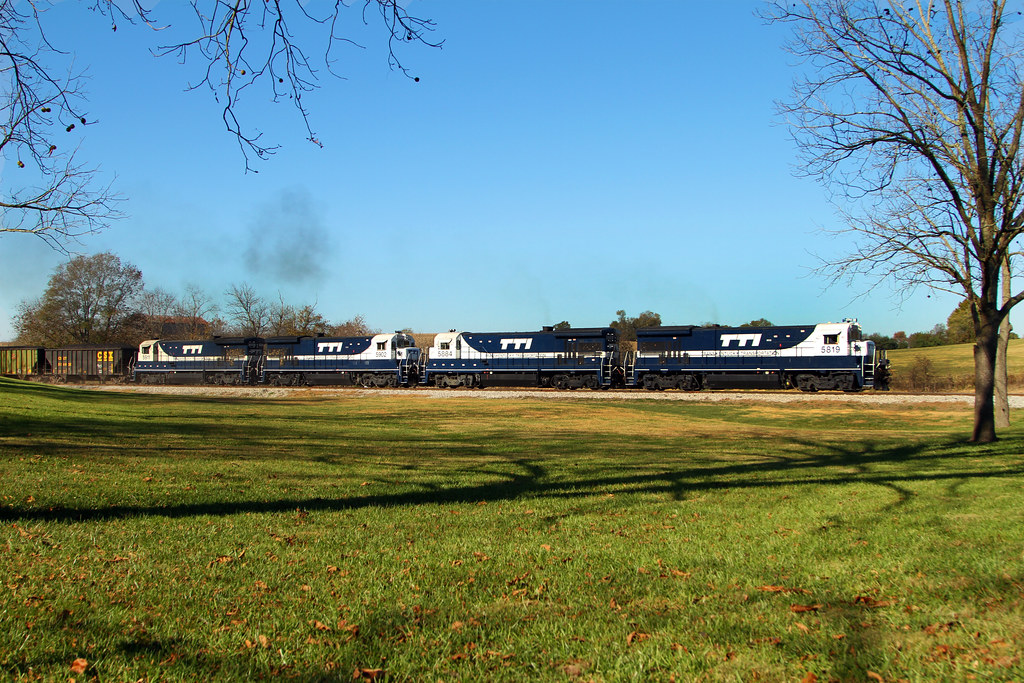
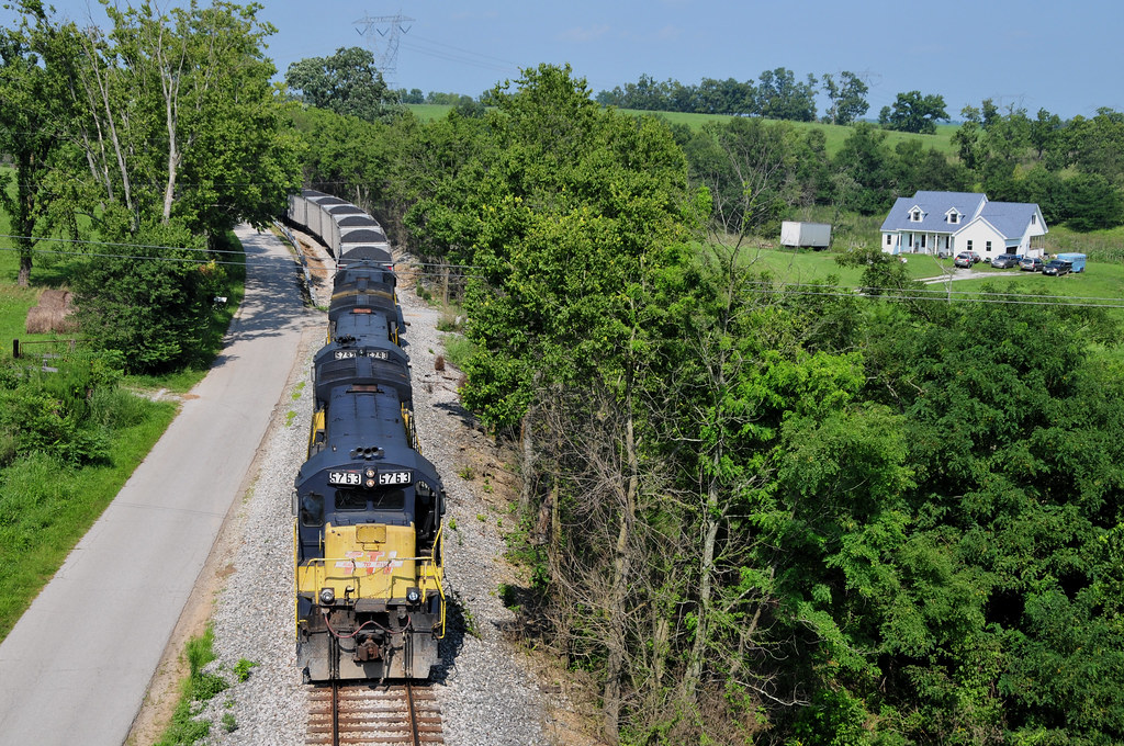
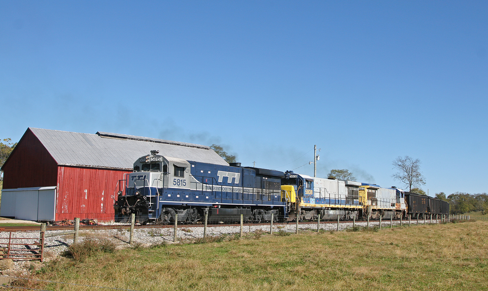
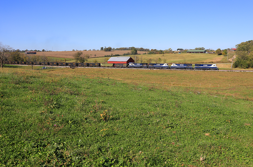
TTI NB Coal @ Somo
Hill City Road

A Sailor's Delight
Hill City Road

Purple Haze

...
trains1072015 228

IMG_9978.jpg
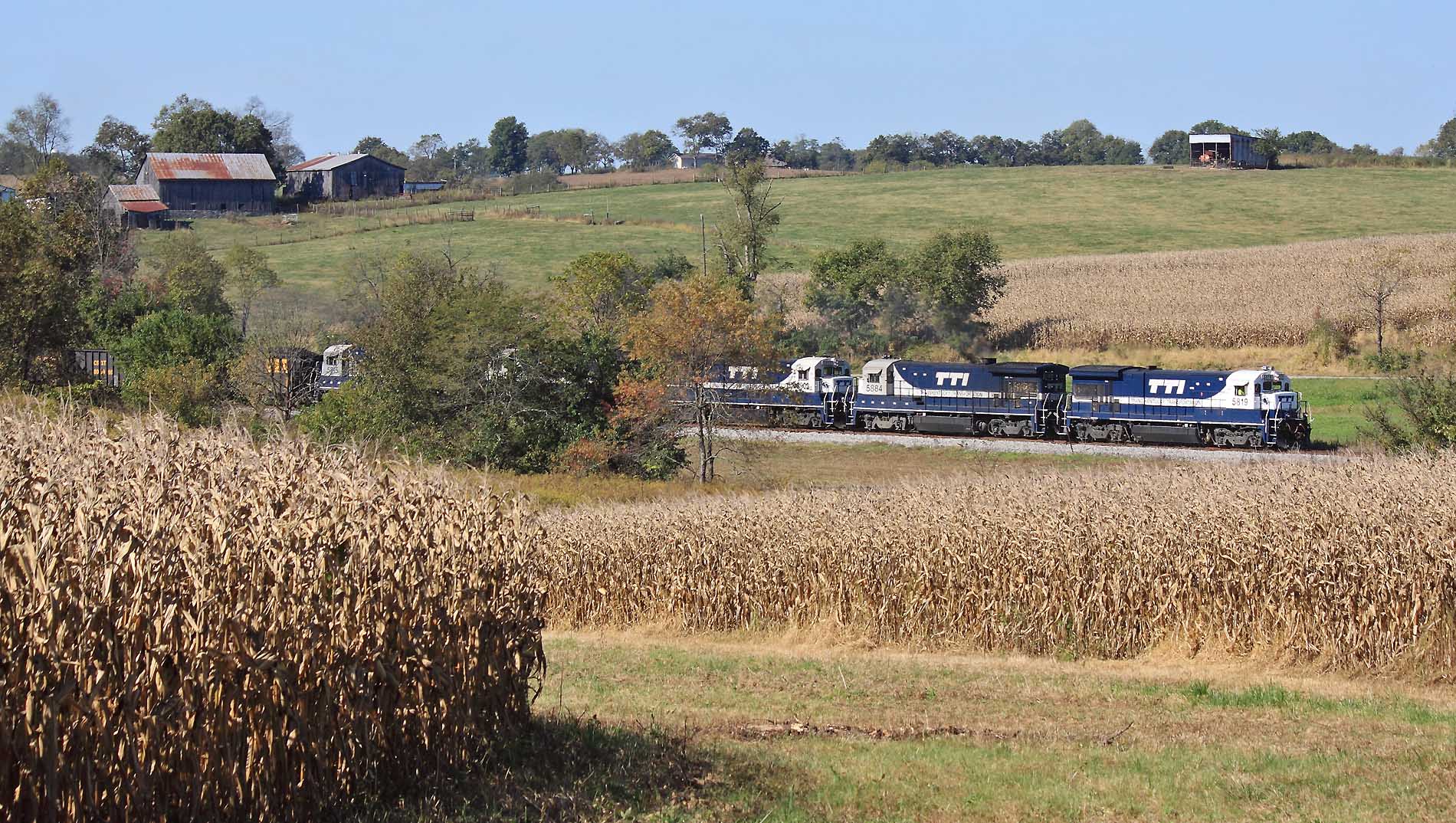
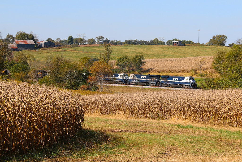
The brown corn of Fall and Blue & White GE's near Clarks Station
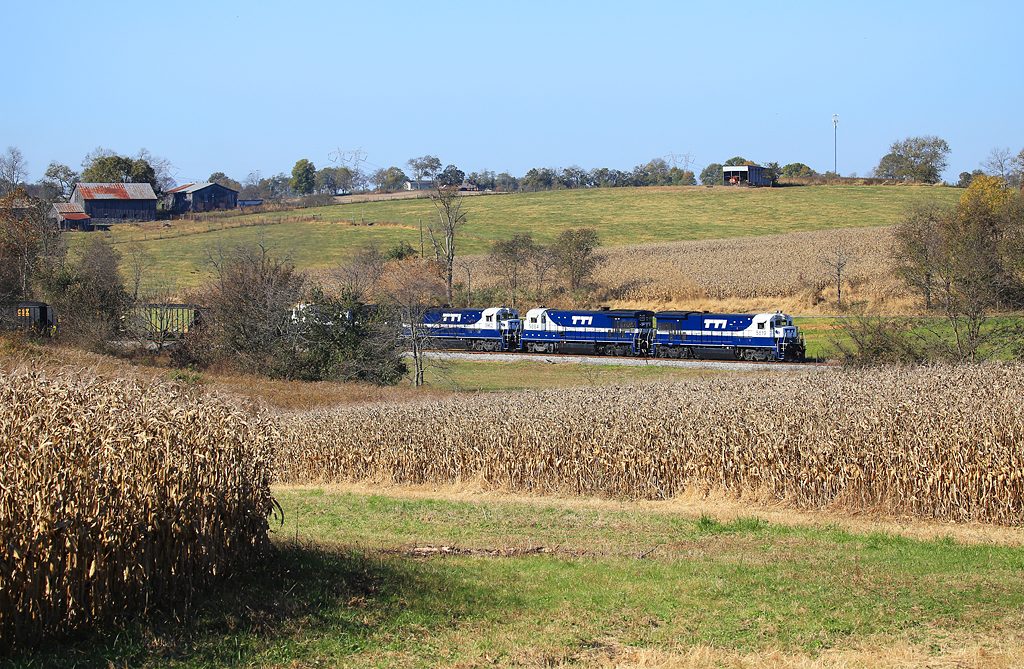
Clark Station
Open Pastures
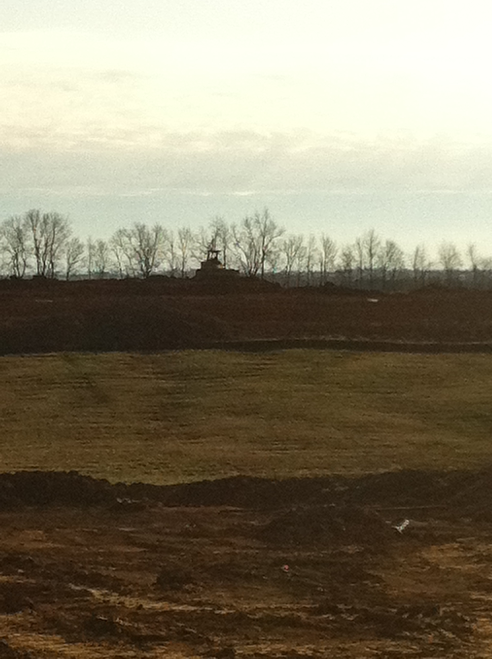
EES Construction 22
Topographic Map of KY-11, Mayslick, KY, USA
Find elevation by address:

Places near KY-11, Mayslick, KY, USA:
6224 Helena Rd
1366 Flemingsburg-mays Lick Rd
Mays Lick
Taylor Mill Rd, Maysville, KY, USA
Mayslick
2279 Paxton Inn Dr
S Court St, Maysville, KY, USA
Old Washington
2339 Cottonwood Ct
Mason Lewis Rd, Maysville, KY, USA
Boone Ave, Maysville, KY, USA
Maysville
522 Valentine Dr
33 E 2nd St
404 W 2nd St
Aberdeen
3 Lick Road
Mason County
60 Locust Pointe
Recent Searches:
- Elevation of Corso Fratelli Cairoli, 35, Macerata MC, Italy
- Elevation of Tallevast Rd, Sarasota, FL, USA
- Elevation of 4th St E, Sonoma, CA, USA
- Elevation of Black Hollow Rd, Pennsdale, PA, USA
- Elevation of Oakland Ave, Williamsport, PA, USA
- Elevation of Pedrógão Grande, Portugal
- Elevation of Klee Dr, Martinsburg, WV, USA
- Elevation of Via Roma, Pieranica CR, Italy
- Elevation of Tavkvetili Mountain, Georgia
- Elevation of Hartfords Bluff Cir, Mt Pleasant, SC, USA