Elevation of Robertson County, KY, USA
Location: United States > Kentucky >
Longitude: -84.037889
Latitude: 38.5224338
Elevation: 274m / 899feet
Barometric Pressure: 98KPa
Elevation Map:
Satellite Map:
Related Photos:
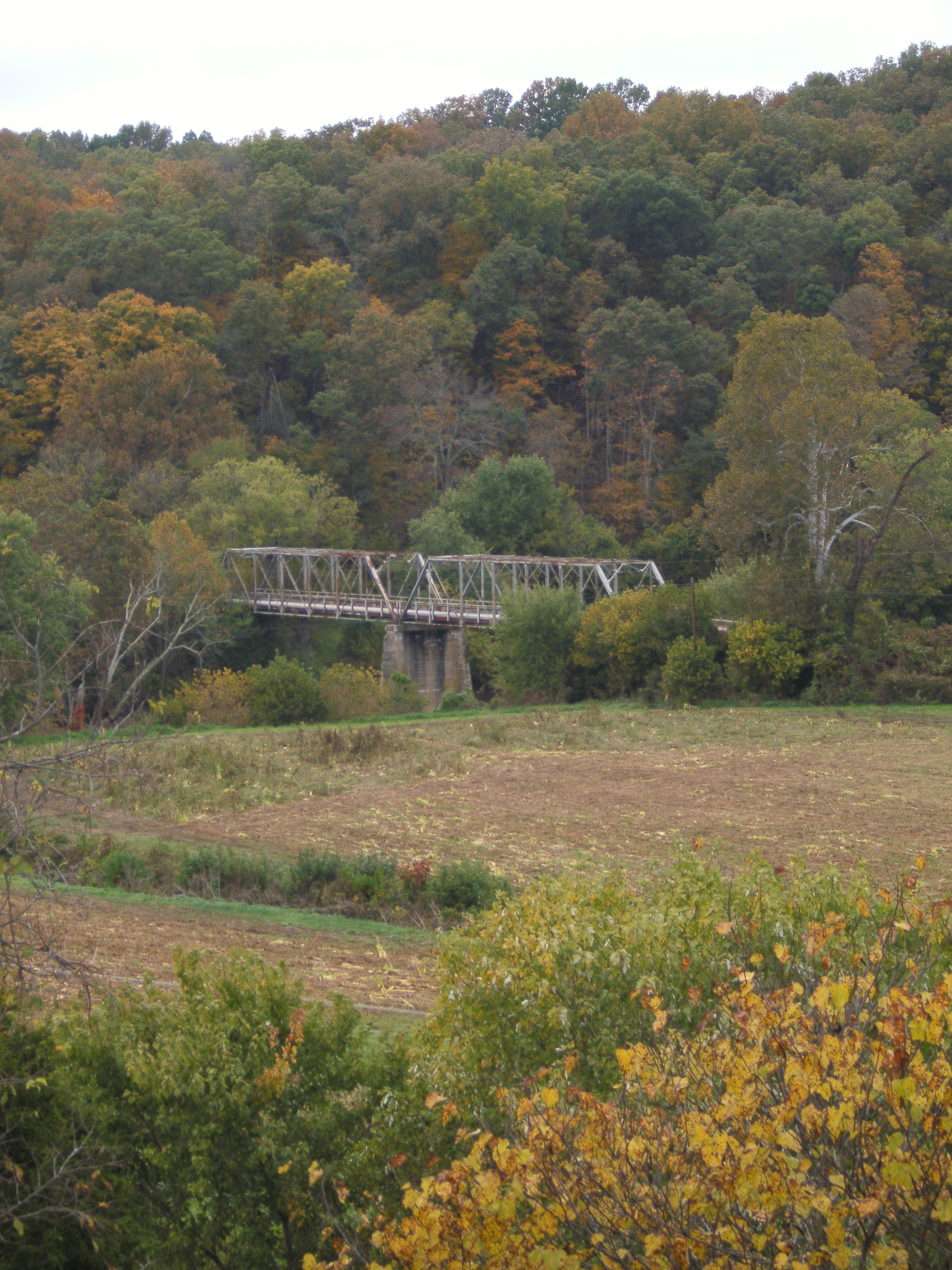
Licking River view from bridge

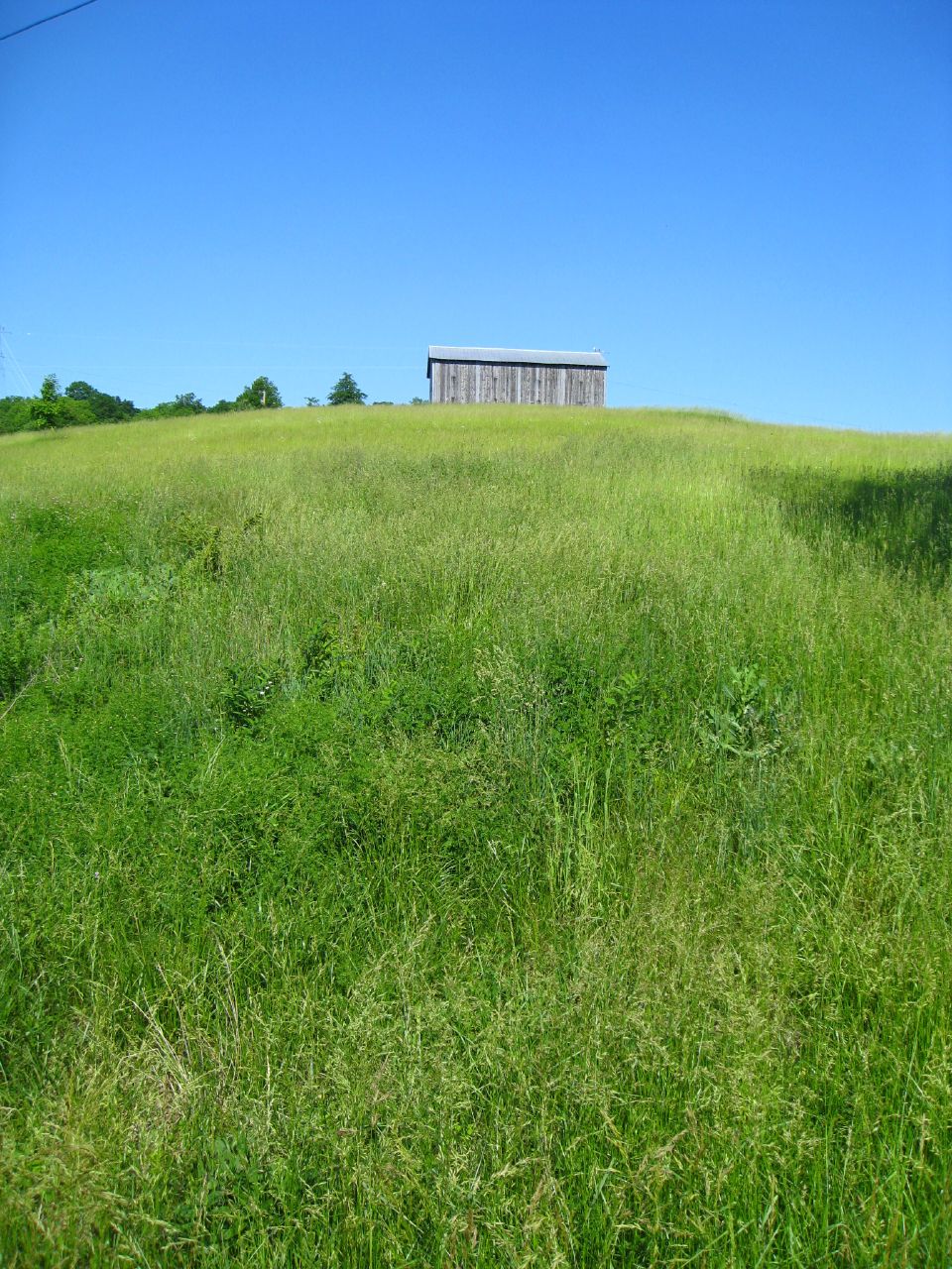
Old Kentucky Barn
Sunrise @ Blue Licks
Hangin on the farm today #countryfresh #countrylivin
River at Blue Licks 2
US 68 Licking River Bridge, Nicholas County, KY from new bridge
Barn near Johnson Creek covered bridge
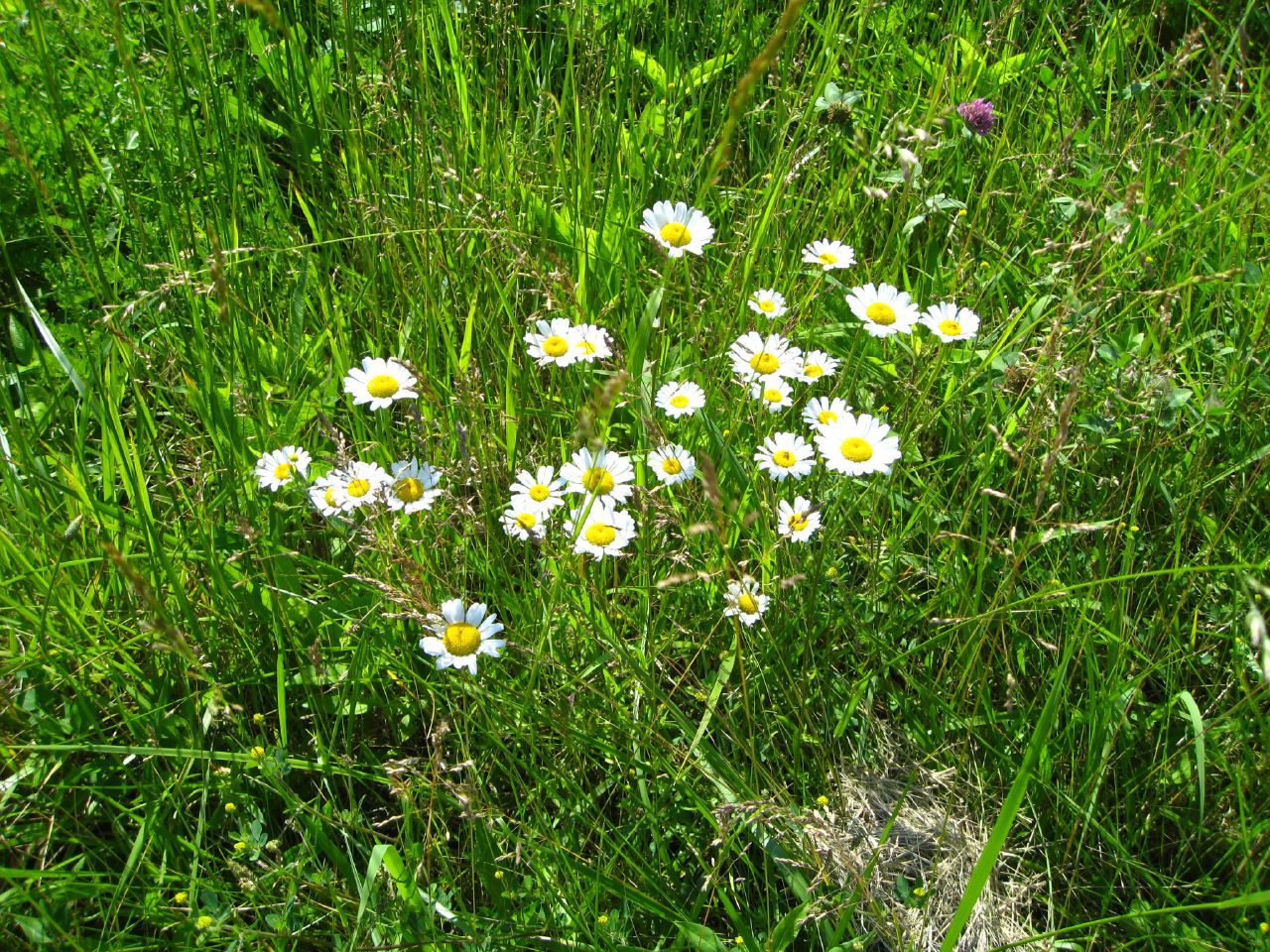
Daisies w clover

Licking River at Claysville
Topographic Map of Robertson County, KY, USA
Find elevation by address:

Places in Robertson County, KY, USA:
Places near Robertson County, KY, USA:
Mount Olivet
60 Locust Pointe
Licking River
3 Lick Road
Nicholas County
Mint Ridge Rd, Carlisle, KY, USA
Miami St, Brooksville, KY, USA
Brooksville
Mayslick
Powersville-Willow Rd, Brooksville, KY, USA
Mason County
Bracken County
Mays Lick
Willow Lenoxburg Rd, Brooksville, KY, USA
Ewing
Collier Rd, Cynthiana, KY, USA
8 State Hwy 22, Brooksville, KY, USA
1366 Flemingsburg-mays Lick Rd
424 N Elm St
Carlisle
Recent Searches:
- Elevation of Corso Fratelli Cairoli, 35, Macerata MC, Italy
- Elevation of Tallevast Rd, Sarasota, FL, USA
- Elevation of 4th St E, Sonoma, CA, USA
- Elevation of Black Hollow Rd, Pennsdale, PA, USA
- Elevation of Oakland Ave, Williamsport, PA, USA
- Elevation of Pedrógão Grande, Portugal
- Elevation of Klee Dr, Martinsburg, WV, USA
- Elevation of Via Roma, Pieranica CR, Italy
- Elevation of Tavkvetili Mountain, Georgia
- Elevation of Hartfords Bluff Cir, Mt Pleasant, SC, USA