Elevation of KY-, Mayslick, KY, USA
Location: United States > Kentucky > Fleming County >
Longitude: -83.806265
Latitude: 38.4620055
Elevation: 275m / 902feet
Barometric Pressure: 98KPa
Elevation Map:
Satellite Map:
Related Photos:
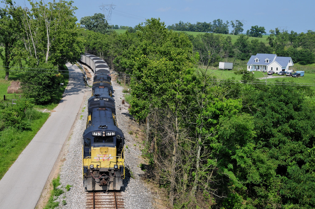
Chug Chug

Rock Empties at Strodes Run
Pushers at Strodes Run

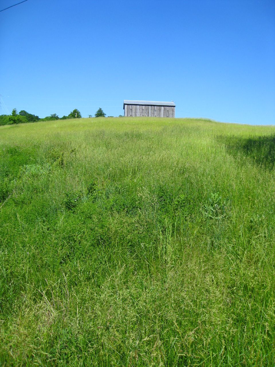
fence shadow
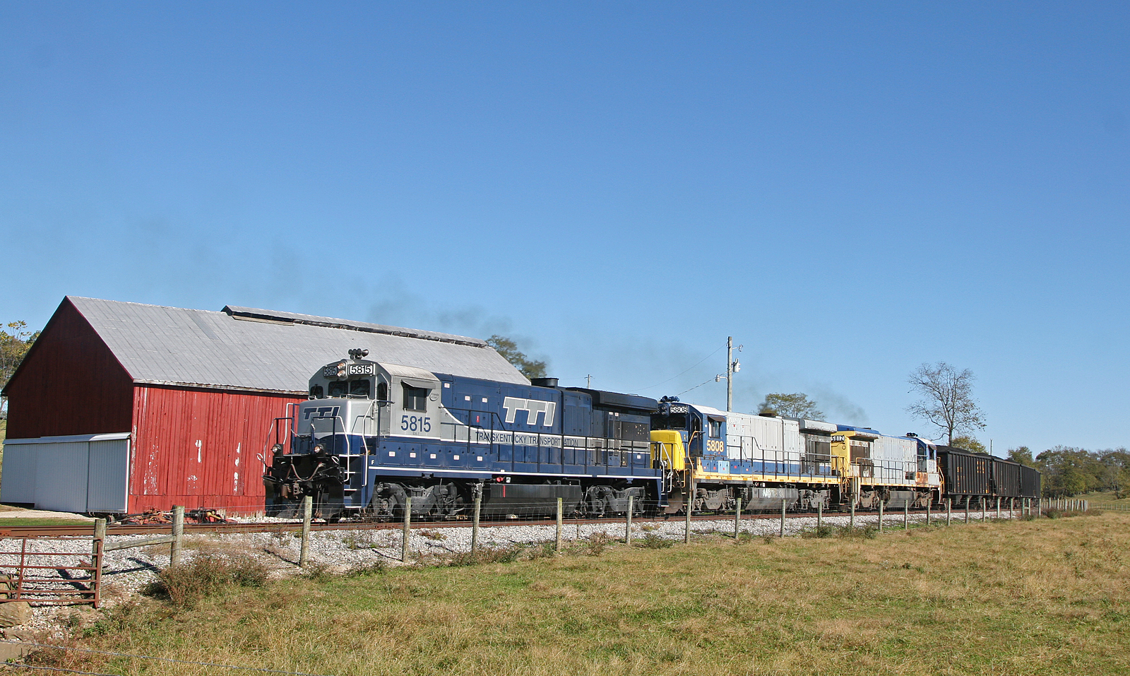
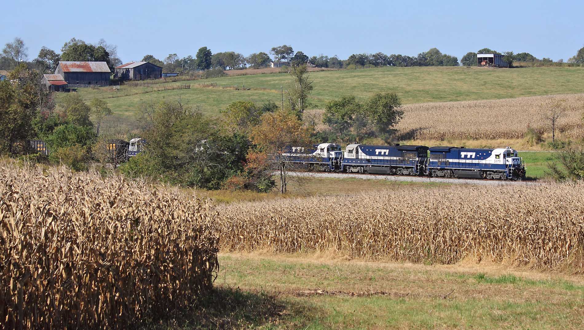
TTI NB Coal @ Somo
EES Construction 22
trains1072015 228
Barn near Johnson Creek covered bridge

IMG_9978.jpg

Daisies w clover
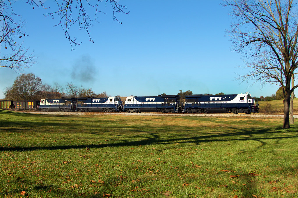
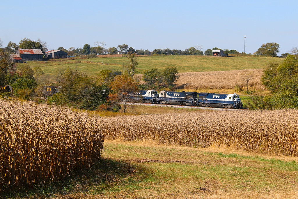
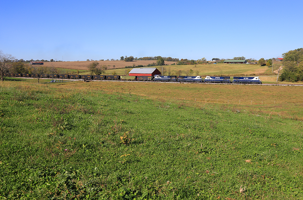
The brown corn of Fall and Blue & White GE's near Clarks Station
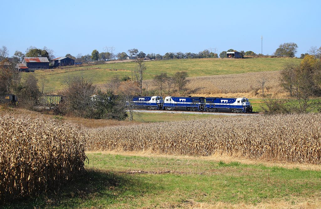
Clark Station
Open Pastures
Topographic Map of KY-, Mayslick, KY, USA
Find elevation by address:

Places near KY-, Mayslick, KY, USA:
6080 Ky-324
53 Hilltop Rd, Ewing, KY, USA
6224 Helena Rd
1366 Flemingsburg-mays Lick Rd
KY-11, Mayslick, KY, USA
Mays Lick
Ewing
Mayslick
Flemingsburg
Fleming County Sheriff's Office
82 Tea Run Rd, Ewing, KY, USA
Pecks Ridge -tilton Road
2677 Wallingford Rd
Tilton
Fleming County
122 Crump Ln
2339 Cottonwood Ct
Popular Plains Rd, Flemingsburg, KY, USA
494 Crump Ln
Taylor Mill Rd, Maysville, KY, USA
Recent Searches:
- Elevation of Corso Fratelli Cairoli, 35, Macerata MC, Italy
- Elevation of Tallevast Rd, Sarasota, FL, USA
- Elevation of 4th St E, Sonoma, CA, USA
- Elevation of Black Hollow Rd, Pennsdale, PA, USA
- Elevation of Oakland Ave, Williamsport, PA, USA
- Elevation of Pedrógão Grande, Portugal
- Elevation of Klee Dr, Martinsburg, WV, USA
- Elevation of Via Roma, Pieranica CR, Italy
- Elevation of Tavkvetili Mountain, Georgia
- Elevation of Hartfords Bluff Cir, Mt Pleasant, SC, USA