Elevation of KY-, Mayslick, KY, USA
Location: United States > Kentucky > Mason County > Mayslick >
Longitude: -83.792384
Latitude: 38.4951912
Elevation: -10000m / -32808feet
Barometric Pressure: 295KPa
Elevation Map:
Satellite Map:
Related Photos:

Morning Glory

Rock Empties at Strodes Run
Pushers at Strodes Run

Day 4k Old Washington Stone House 2

Open Pastures

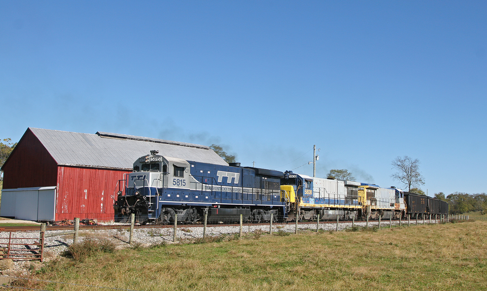
TTI NB Coal @ Somo

TTI 5819 North, Maysville,KY 10/7/2015

fence shadow

A Sailor's Delight
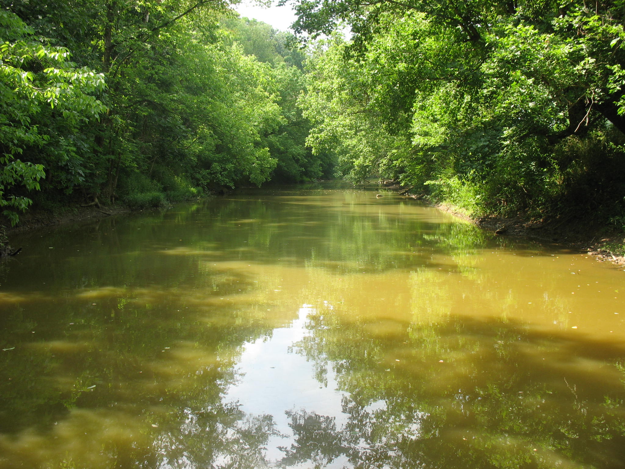
North Fork

IMG_4720.JPG

Purple Haze

IMG_3743.JPG

Mitchell Farm — May's Lick Vicinity, Mason County, Kentucky

IMG_9978.jpg

Landscape — Mount Carmel Vicinity, Fleming County, Kentucky

Cotton Candy

The brown corn of Fall and Blue & White GE's near Clarks Station

EES Construction 22
Topographic Map of KY-, Mayslick, KY, USA
Find elevation by address:

Places near KY-, Mayslick, KY, USA:
6224 Helena Rd
KY-11, Mayslick, KY, USA
KY-, Mayslick, KY, USA
1366 Flemingsburg-mays Lick Rd
Mays Lick
Mayslick
53 Hilltop Rd, Ewing, KY, USA
Flemingsburg
Fleming County Sheriff's Office
Ewing
Taylor Mill Rd, Maysville, KY, USA
2339 Cottonwood Ct
2279 Paxton Inn Dr
S Court St, Maysville, KY, USA
Old Washington
2677 Wallingford Rd
Boone Ave, Maysville, KY, USA
82 Tea Run Rd, Ewing, KY, USA
522 Valentine Dr
3 Lick Road
Recent Searches:
- Elevation of Corso Fratelli Cairoli, 35, Macerata MC, Italy
- Elevation of Tallevast Rd, Sarasota, FL, USA
- Elevation of 4th St E, Sonoma, CA, USA
- Elevation of Black Hollow Rd, Pennsdale, PA, USA
- Elevation of Oakland Ave, Williamsport, PA, USA
- Elevation of Pedrógão Grande, Portugal
- Elevation of Klee Dr, Martinsburg, WV, USA
- Elevation of Via Roma, Pieranica CR, Italy
- Elevation of Tavkvetili Mountain, Georgia
- Elevation of Hartfords Bluff Cir, Mt Pleasant, SC, USA