Elevation of Tilton, KY, USA
Location: United States > Kentucky > Fleming County >
Longitude: -83.759641
Latitude: 38.3464666
Elevation: 255m / 837feet
Barometric Pressure: 98KPa
Elevation Map:
Satellite Map:
Related Photos:

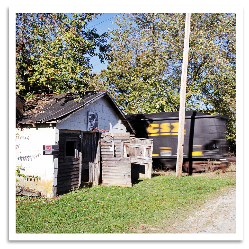
House of Cards
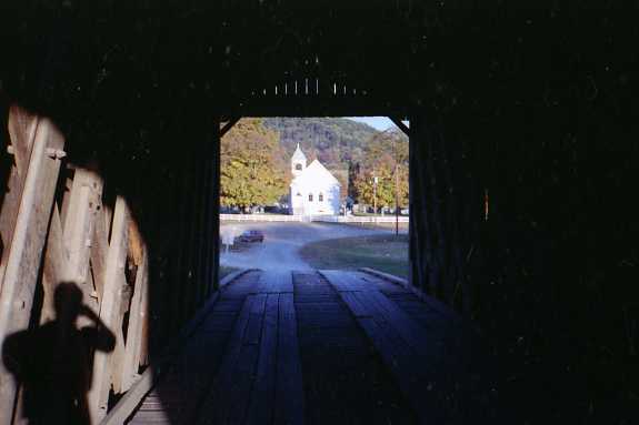
Church view through the Goddard-White Bridge

One Dead, One Living

Goddard Bridge 3

Grange City Bridge 1

EES Construction 22
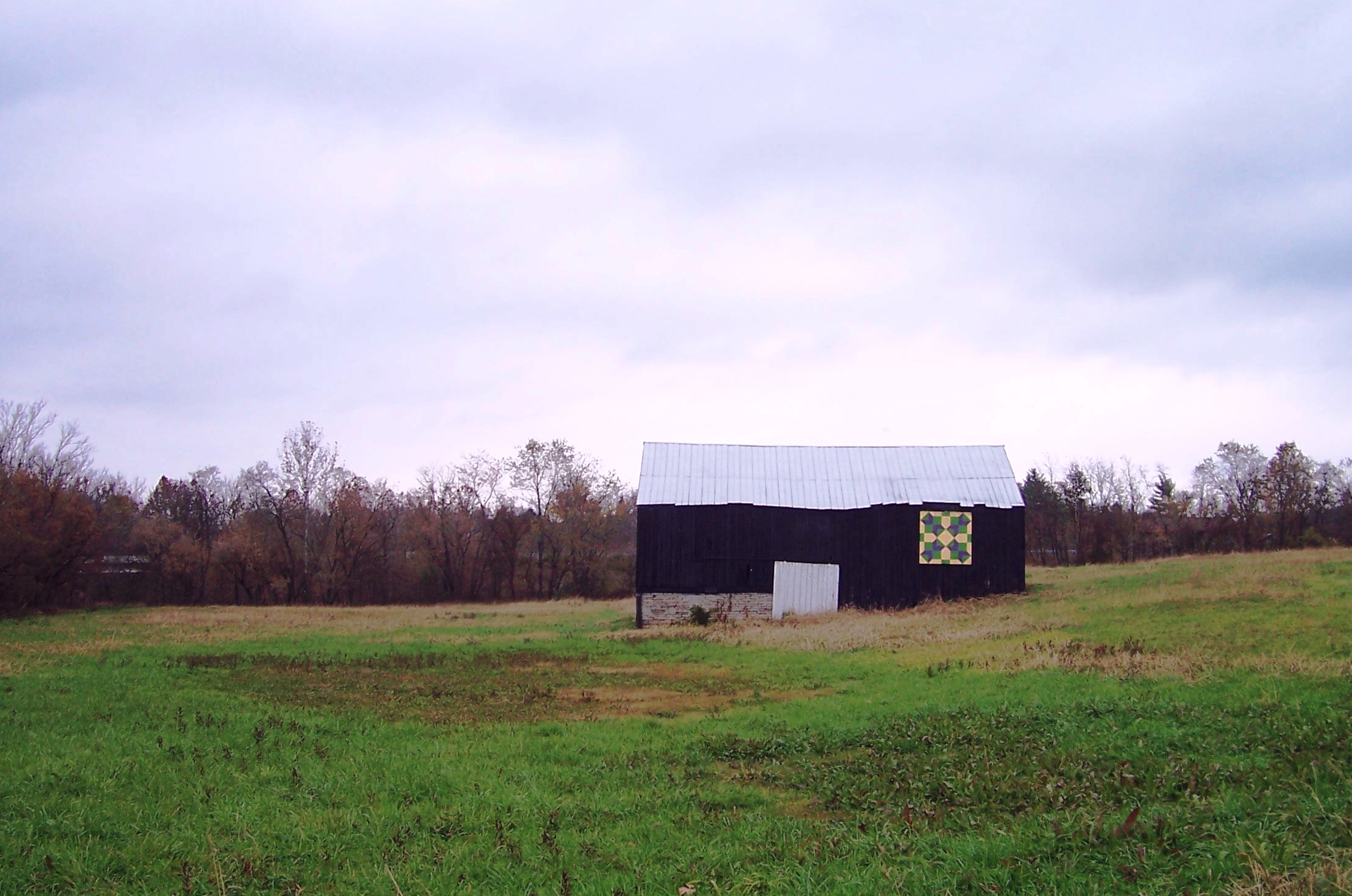
Old Country Barn

Clouds over Kentucky
Ewing, Kentucky
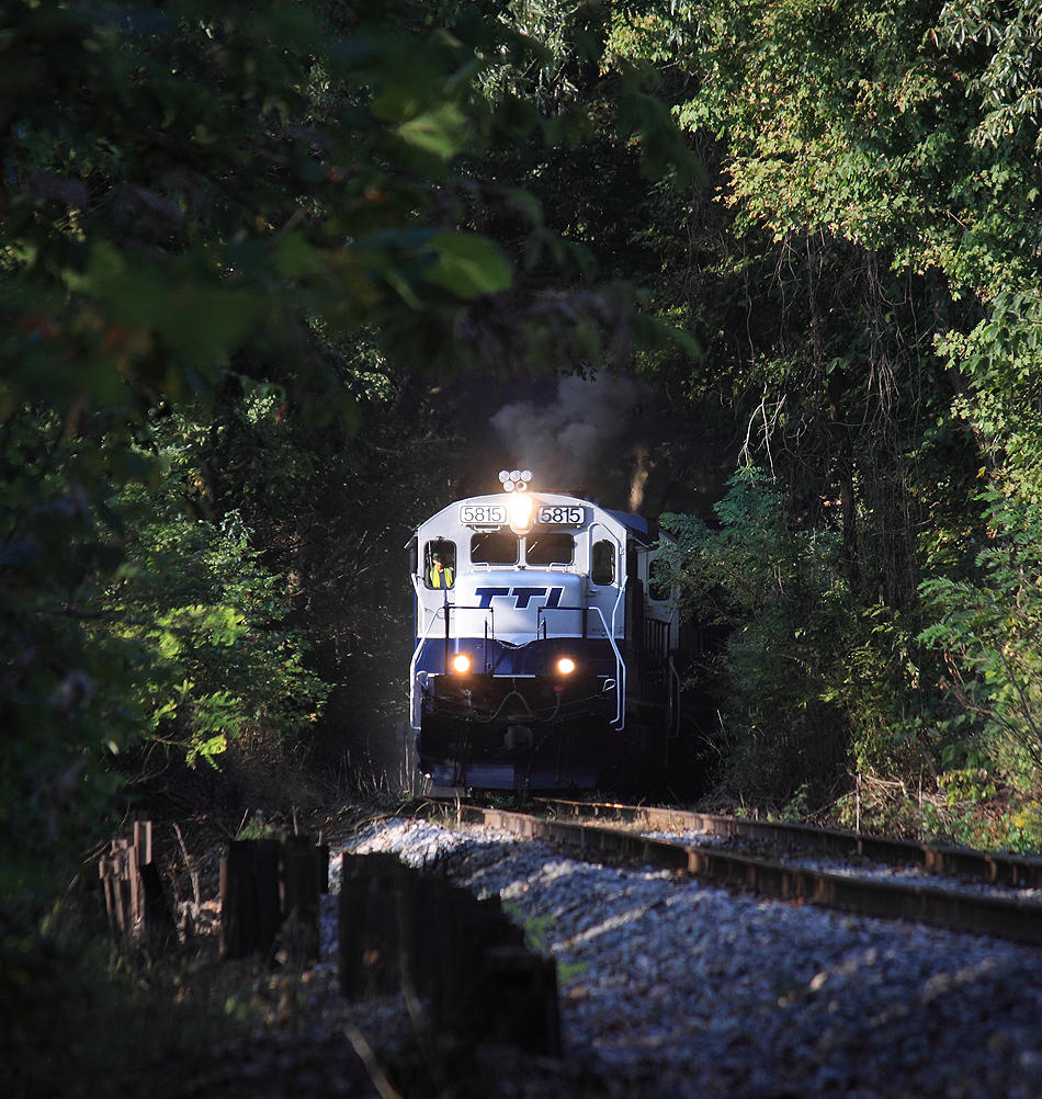
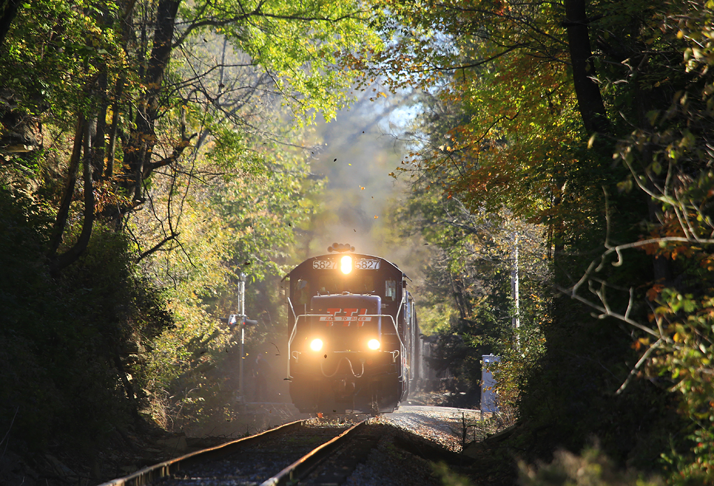
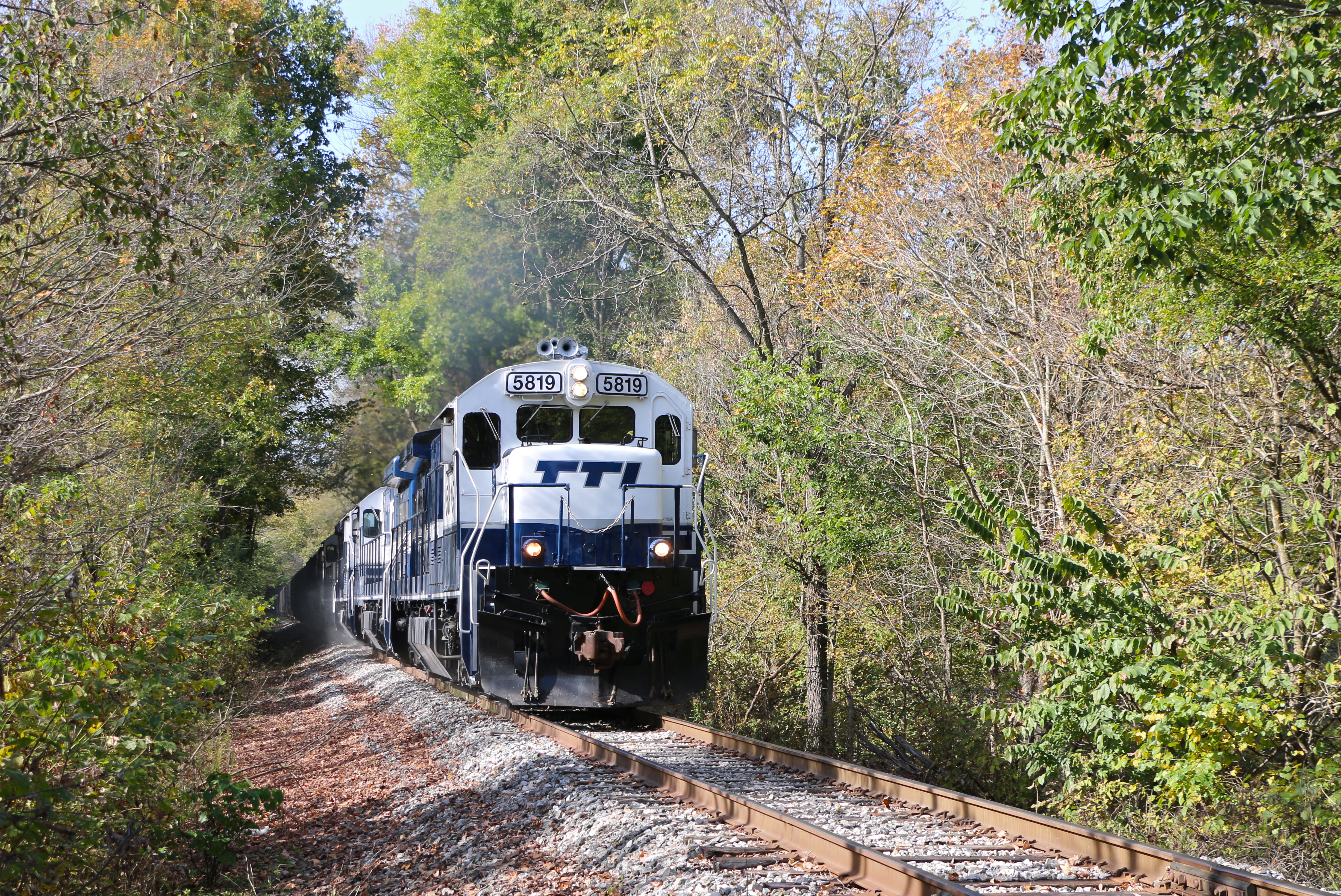
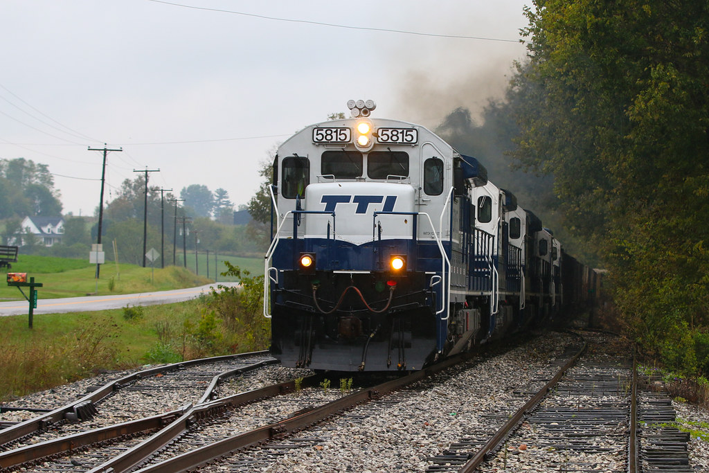
TTI 5815 emerges from a tree tunnel and finds a sliver of sunlight at Pleasant Valley

The morning sun is just starting to filter into the valley as a Northbound climbs away from the Licking River at Pleasant Valley , Kentucky
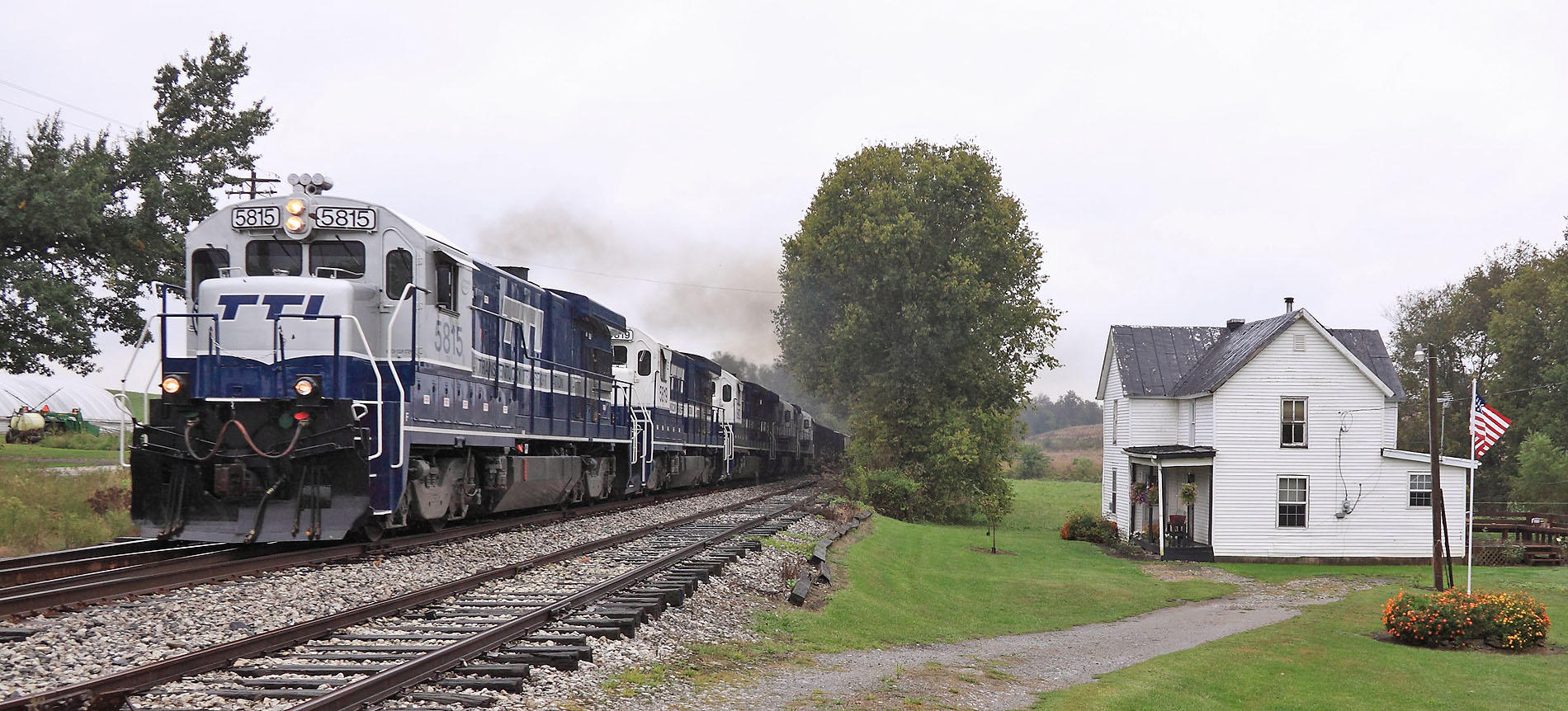
A cloudy day at Flemingsburg Junction

Northbound Grinding up the hill out of the Licking River valley at Pleasant Valley, Kentucky

Southbound approaching Cowen Tunnel Cowen, Kentucky
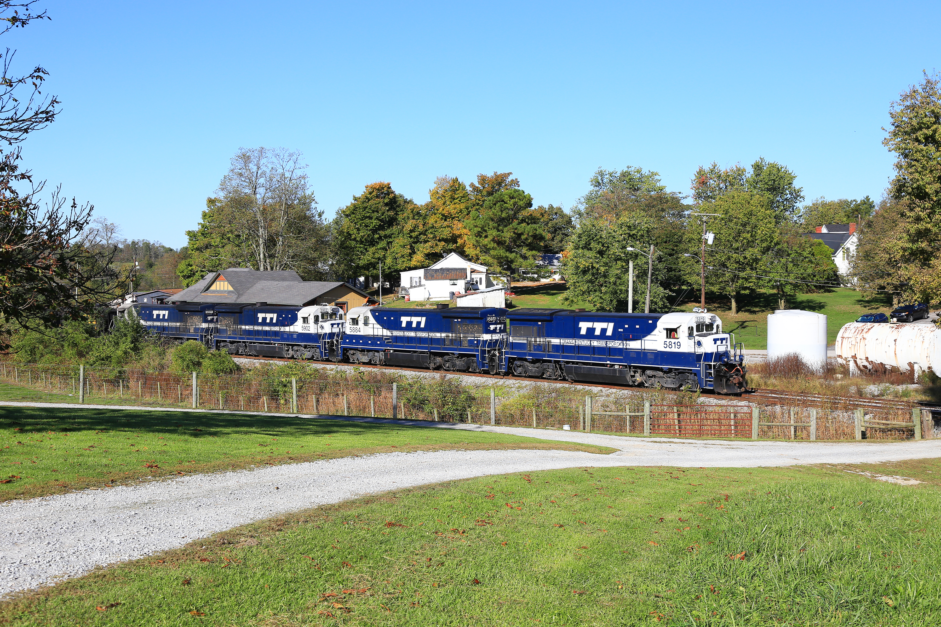
TTI NB Coal @ Ewing
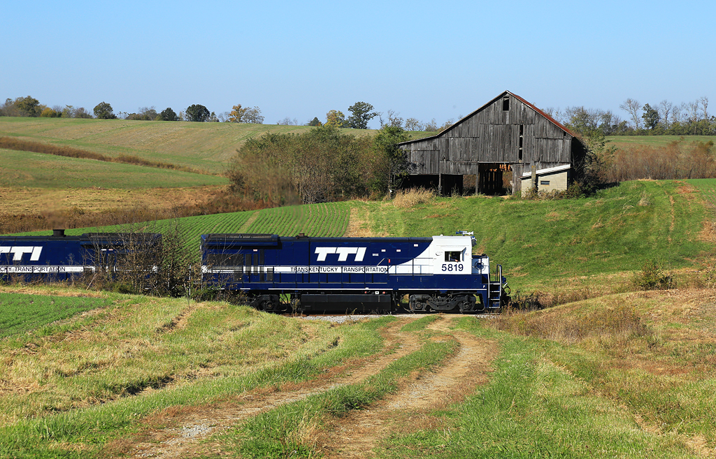
Through the Tobacco Barns
Cowan Helpers
Cowan Tunnel
Pleasant Valley
Fall Canopy
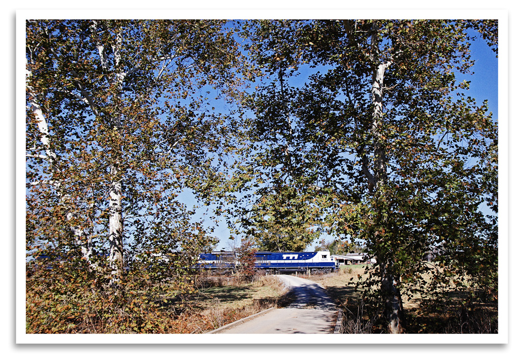
Driveway Crossing
Kentucky Black Diamonds
Pushers at Ewing
Cowan, Kentucky
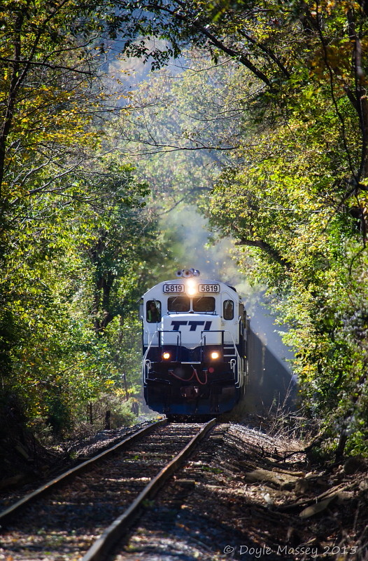
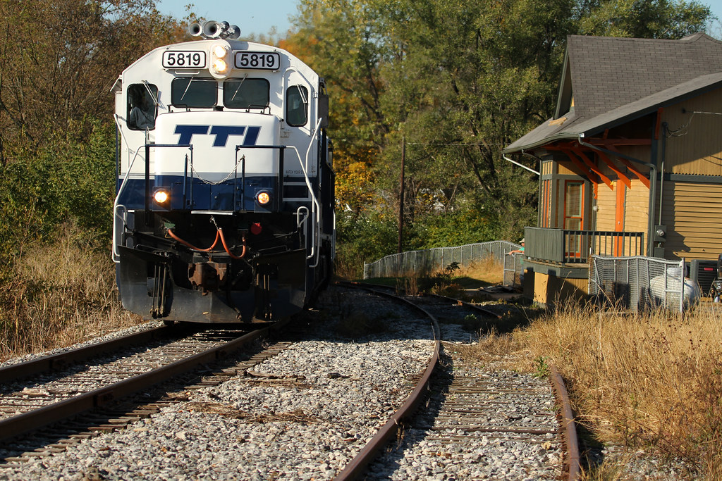
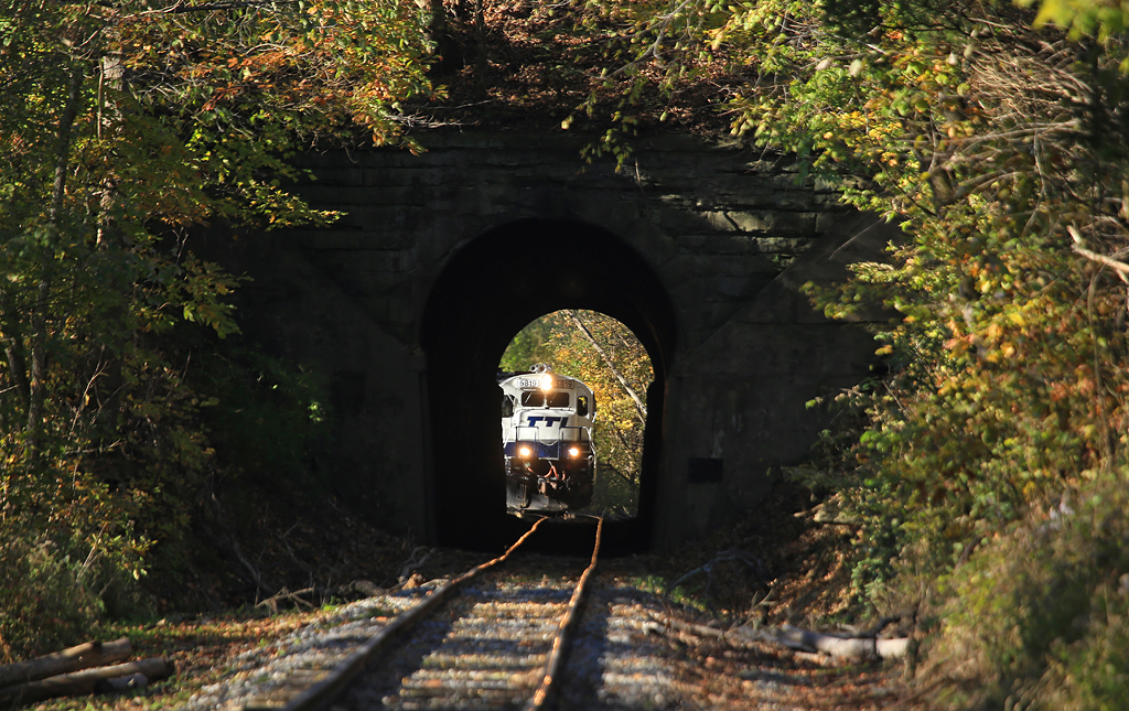
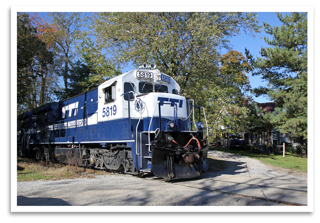
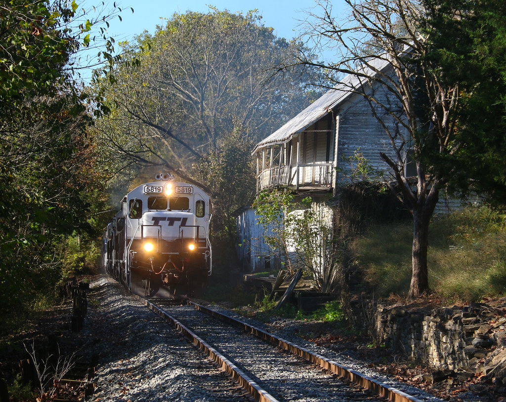
TTI 5819 Cowan Tunnel
trains1072015 144
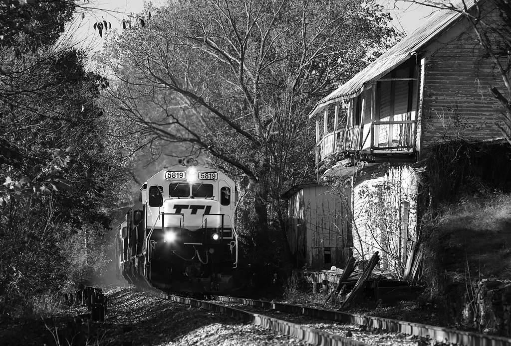
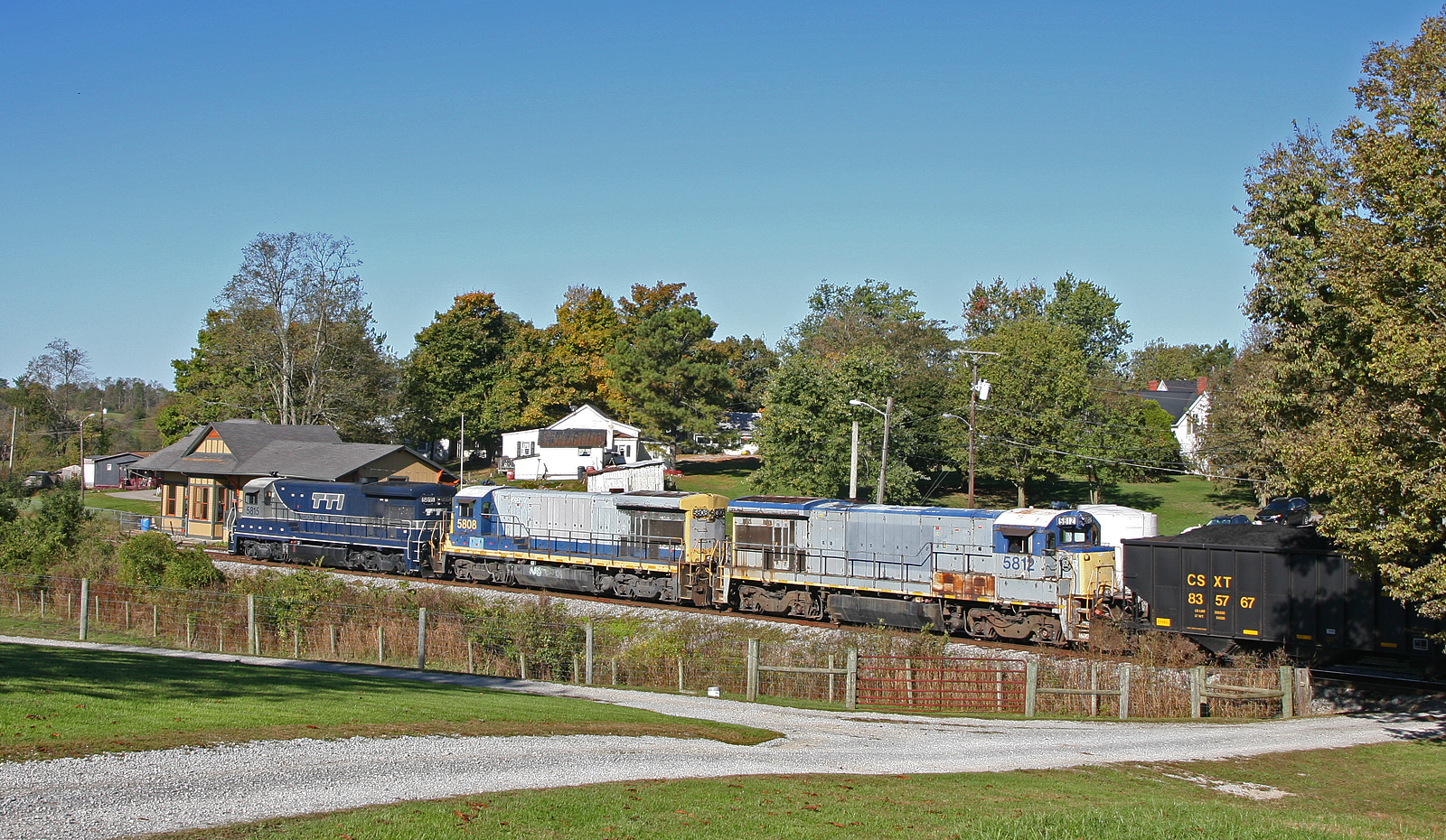
TTI 5818, Flemingsburg Junction,KY 9/30/2015

Out of the Forest
Topographic Map of Tilton, KY, USA
Find elevation by address:

Places near Tilton, KY, USA:
Pecks Ridge -tilton Road
Popular Plains Rd, Flemingsburg, KY, USA
Flemingsburg
Fleming County Sheriff's Office
82 Tea Run Rd, Ewing, KY, USA
KY-, Flemingsburg, KY, USA
53 Hilltop Rd, Ewing, KY, USA
Fleming County
2677 Wallingford Rd
122 Crump Ln
KY-32, Flemingsburg, KY, USA
494 Crump Ln
KY-, Hillsboro, KY, USA
Hillsboro
KY-, Mayslick, KY, USA
Ewing
Magnolia Road
Colfax Rd, Hillsboro, KY, USA
Bethel Ridge Rd, Sharpsburg, KY, USA
Wallingford Rd, Flemingsburg, KY, USA
Recent Searches:
- Elevation of Corso Fratelli Cairoli, 35, Macerata MC, Italy
- Elevation of Tallevast Rd, Sarasota, FL, USA
- Elevation of 4th St E, Sonoma, CA, USA
- Elevation of Black Hollow Rd, Pennsdale, PA, USA
- Elevation of Oakland Ave, Williamsport, PA, USA
- Elevation of Pedrógão Grande, Portugal
- Elevation of Klee Dr, Martinsburg, WV, USA
- Elevation of Via Roma, Pieranica CR, Italy
- Elevation of Tavkvetili Mountain, Georgia
- Elevation of Hartfords Bluff Cir, Mt Pleasant, SC, USA