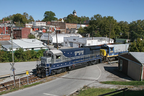
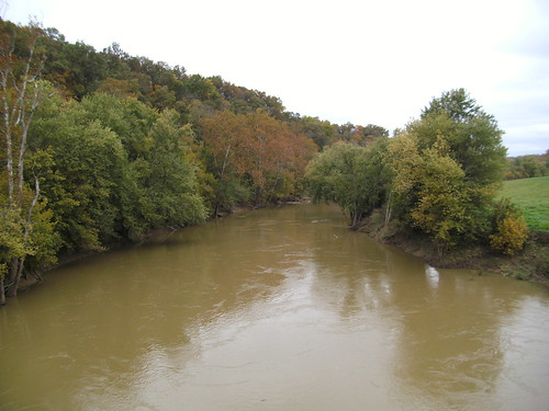
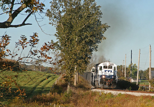
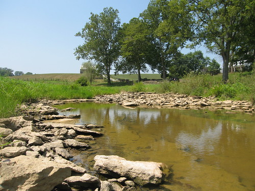
Elevation of E Main St, Carlisle, KY, USA
Location: United States > Kentucky > Nicholas County > Carlisle >
Longitude: -84.027552
Latitude: 38.3119946
Elevation: 261m / 856feet
Barometric Pressure: 98KPa
Related Photos:
Topographic Map of E Main St, Carlisle, KY, USA
Find elevation by address:

Places near E Main St, Carlisle, KY, USA:
Carlisle
424 N Elm St
Nicholas County
Upper Sharpsburg Rd, Carlisle, KY, USA
Mint Ridge Rd, Carlisle, KY, USA
Main St, Paris, KY, USA
Collier Rd, Cynthiana, KY, USA
Sharpsburg
Licking River
1821 Cecil Rd
Bethel Ridge Rd, Sharpsburg, KY, USA
Five Forks Hill
Thatchers Mill Rd, Paris, KY, USA
Millersburg Pike, Cynthiana, KY, USA
82 Tea Run Rd, Ewing, KY, USA
1054 Millersburg Rd
Ewing
Robertson County
1649 Old Ruddles Mill Rd
KY-, Paris, KY, USA
Recent Searches:
- Elevation of Corso Fratelli Cairoli, 35, Macerata MC, Italy
- Elevation of Tallevast Rd, Sarasota, FL, USA
- Elevation of 4th St E, Sonoma, CA, USA
- Elevation of Black Hollow Rd, Pennsdale, PA, USA
- Elevation of Oakland Ave, Williamsport, PA, USA
- Elevation of Pedrógão Grande, Portugal
- Elevation of Klee Dr, Martinsburg, WV, USA
- Elevation of Via Roma, Pieranica CR, Italy
- Elevation of Tavkvetili Mountain, Georgia
- Elevation of Hartfords Bluff Cir, Mt Pleasant, SC, USA
