Elevation of Millersburg Pike, Cynthiana, KY, USA
Location: United States > Kentucky > Harrison County > Cynthiana >
Longitude: -84.210673
Latitude: 38.3656012
Elevation: 272m / 892feet
Barometric Pressure: 98KPa
Elevation Map:
Satellite Map:
Related Photos:
Back Porch View
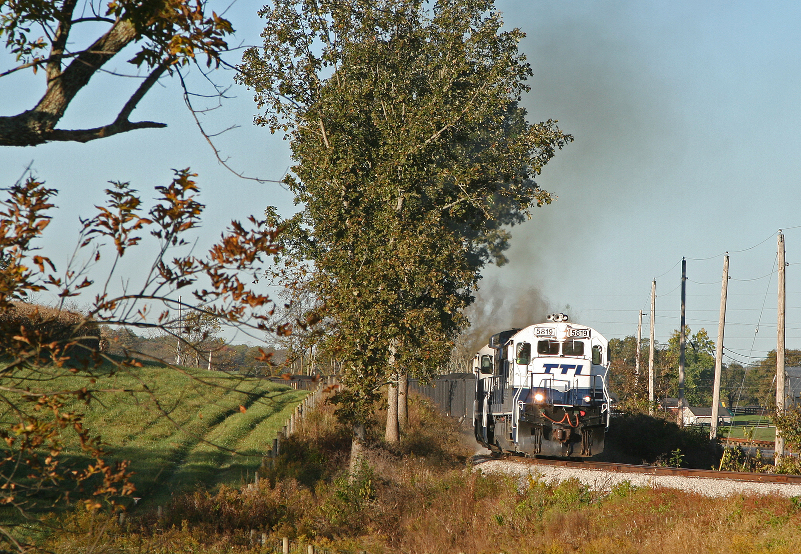
TTI 5819 Tarr Road

Remember Our Own Land

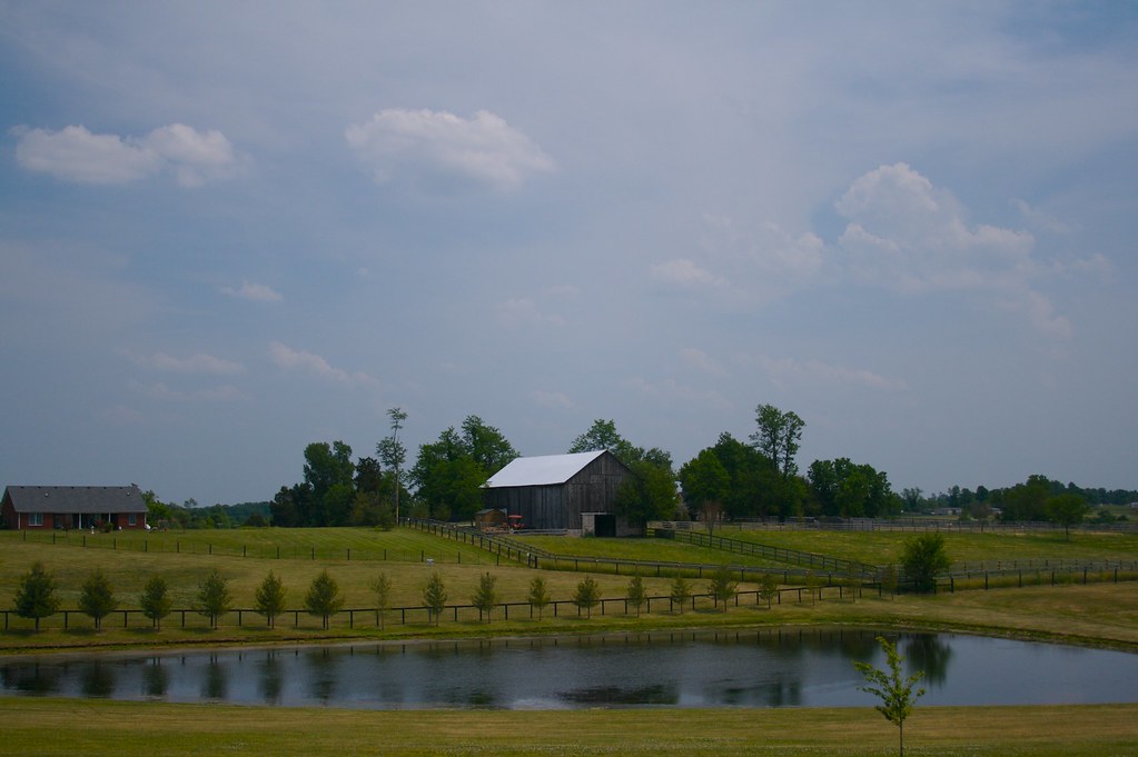
Kentucky Rolling Hills

sunset on lake

2012-07-30_19-55-03_440
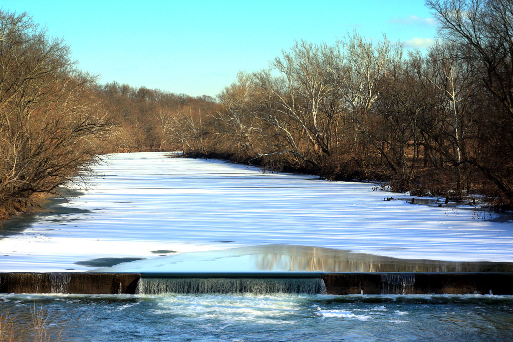
Poindexter Dam on a Sunny Evening

2012-07-30_19-50-38_258

2012-07-30_19-21-30_935

2012-07-30_19-52-05_913

2012-07-30_19-52-02_585

2012-07-30_19-52-12_466

2012-07-30_19-51-35_667

2012-07-30_19-26-18_665

2012-07-30_19-51-41_711

2012-07-30_19-51-32_95

2012-07-30_19-22-29_145

2012-07-30_19-52-14_973

2012-07-30_19-29-06_389
20140616_140352_Republican%20Pike
Topographic Map of Millersburg Pike, Cynthiana, KY, USA
Find elevation by address:

Places near Millersburg Pike, Cynthiana, KY, USA:
Collier Rd, Cynthiana, KY, USA
1649 Old Ruddles Mill Rd
KY-, Paris, KY, USA
75 Tranquil Ln
405 E Bridge St
2 S Church St, Cynthiana, KY, USA
Cynthiana
Main St, Paris, KY, USA
104 E Pleasant St
Oddville Pike, Cynthiana, KY, USA
401 W Pleasant St
215 Old Us Hwy 27
US-27, Cynthiana, KY, USA
95 Wornall Ln
1054 Millersburg Rd
Bourbon County
Nicholas County
54 Russell Cave Rd, Cynthiana, KY, USA
100 E Main St
Hanson Heights
Recent Searches:
- Elevation of Corso Fratelli Cairoli, 35, Macerata MC, Italy
- Elevation of Tallevast Rd, Sarasota, FL, USA
- Elevation of 4th St E, Sonoma, CA, USA
- Elevation of Black Hollow Rd, Pennsdale, PA, USA
- Elevation of Oakland Ave, Williamsport, PA, USA
- Elevation of Pedrógão Grande, Portugal
- Elevation of Klee Dr, Martinsburg, WV, USA
- Elevation of Via Roma, Pieranica CR, Italy
- Elevation of Tavkvetili Mountain, Georgia
- Elevation of Hartfords Bluff Cir, Mt Pleasant, SC, USA