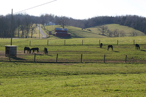
Elevation of W Pleasant St, Cynthiana, KY, USA
Location: United States > Kentucky > Harrison County > Cynthiana >
Longitude: -84.303801
Latitude: 38.3903172
Elevation: 220m / 722feet
Barometric Pressure: 99KPa
Related Photos:
Topographic Map of W Pleasant St, Cynthiana, KY, USA
Find elevation by address:

Places near W Pleasant St, Cynthiana, KY, USA:
104 E Pleasant St
Cynthiana
2 S Church St, Cynthiana, KY, USA
405 E Bridge St
75 Tranquil Ln
US-27, Cynthiana, KY, USA
95 Wornall Ln
215 Old Us Hwy 27
Harrison County
54 Russell Cave Rd, Cynthiana, KY, USA
Oddville Pike, Cynthiana, KY, USA
161 Hicks Pike
Millersburg Pike, Cynthiana, KY, USA
1649 Old Ruddles Mill Rd
KY-, Paris, KY, USA
Kelat
Collier Rd, Cynthiana, KY, USA
1054 Millersburg Rd
Hanson Heights
Main St, Paris, KY, USA
Recent Searches:
- Elevation of Corso Fratelli Cairoli, 35, Macerata MC, Italy
- Elevation of Tallevast Rd, Sarasota, FL, USA
- Elevation of 4th St E, Sonoma, CA, USA
- Elevation of Black Hollow Rd, Pennsdale, PA, USA
- Elevation of Oakland Ave, Williamsport, PA, USA
- Elevation of Pedrógão Grande, Portugal
- Elevation of Klee Dr, Martinsburg, WV, USA
- Elevation of Via Roma, Pieranica CR, Italy
- Elevation of Tavkvetili Mountain, Georgia
- Elevation of Hartfords Bluff Cir, Mt Pleasant, SC, USA
