Elevation of 75 Tranquil Ln, Cynthiana, KY, USA

Location: United States > Kentucky > Harrison County > Cynthiana >

Longitude: -84.269691

Latitude: 38.4104108

Elevation: -10000m / -32808feet

Barometric Pressure: 295KPa

Elevation Map:

elevation map of 75 Tranquil Ln, Cynthiana, KY, USA

Satellite Map:

Satellite map of 75 Tranquil Ln, Cynthiana, KY, USA

Related Photos:

landscape harrisoncounty kentucky view scenic countryside topography hills trees edenshale road guardrail kelat
Landscape — Kelat Vicinity, Harrison County, Kentucky
landscape harrisoncounty kentucky view scenic countryside topography hills trees edenshale road guardrail kelat
Landscape — Kelat Vicinity, Harrison County, Kentucky
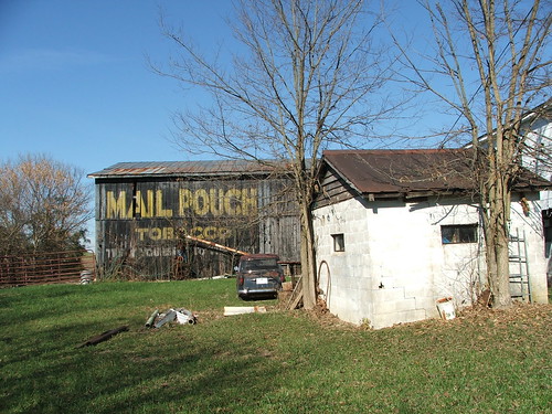
kentucky backroad mailpouchbarns
17-49-02, Harrison County, Kentucky
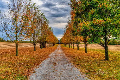
kentucky unitedstatesofamerica nikon d850 lightroom art bokeh lens light landscape happy naturephotography outside nature people white green red black pink skyportrait location architecture building city square squareformat instagramapp shot awesome supershot beauty cute new flickr amazing photo photograph fav favorite favs picture me explore interestingness friends dof sunset sky flower night tree flowers portrait fineart sun clouds travelky fall autumn colors road house bourboncounty
Fall in Kentucky
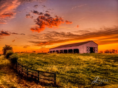
light art lens bokeh lightroom pink red people white black green nature architecture landscape outside happy location naturephotography skyportrait new city building cute beauty square photo amazing flickr shot awesome photograph squareformat supershot instagramapp flowers friends sunset sky favorite flower tree me night interestingness dof picture explore fav favs portrait sun grass clouds barn fence kentucky fineart samsung auroahdr
Sunset over Central Kentucky
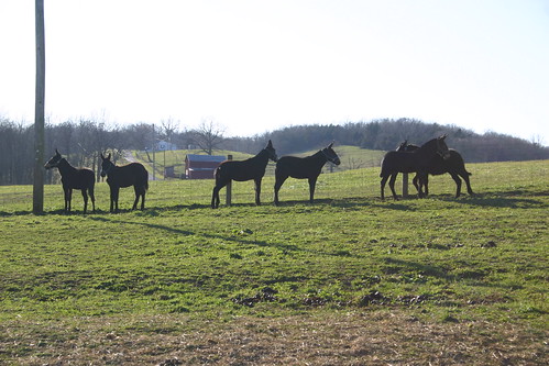
farm mules farmanimals mule
Baby Gray Mules Playing
reflection nature water canon river landscape photography outdoor kentucky dams eos40d
Robinson Dam
soccer upward upwardsoccer cynthianaky connersvillechristianchurch connersvilleky
2012-07-30_19-55-03_440
farm mules farmanimals mule graymules
Gray Mules in the field
reflection nature water canon river landscape photography outdoor kentucky dams eos40d
Robinson Dam
soccer upward upwardsoccer cynthianaky connersvillechristianchurch connersvilleky
2012-07-30_19-50-38_258
soccer upward upwardsoccer cynthianaky connersvillechristianchurch connersvilleky
2012-07-30_19-21-30_935
soccer upward upwardsoccer cynthianaky connersvillechristianchurch connersvilleky
2012-07-30_19-52-02_585
soccer upward upwardsoccer cynthianaky connersvillechristianchurch connersvilleky
2012-07-30_19-26-18_665
soccer upward upwardsoccer cynthianaky connersvillechristianchurch connersvilleky
2012-07-30_19-37-35_270
soccer upward upwardsoccer cynthianaky connersvillechristianchurch connersvilleky
2012-07-30_19-37-41_199
Mule 2
soccer upward upwardsoccer cynthianaky connersvillechristianchurch connersvilleky
2012-07-30_19-29-06_389
20140616_140352_Republican%20Pike
paris kentucky unitedstatesofamerica us ruddlesmills countryside landscape pleasant valley stonercreek snow fields farmland agriculture hills trees forest clouds bourboncounty
Stoner Creek Valley — Ruddle's Mills Vicinity, Bourbon County, Kentucky
paris kentucky unitedstatesofamerica us ruddlesmills countryside landscape pleasant valley stonercreek snow fields farmland agriculture hills trees forest clouds bourboncounty
Stoner Creek Valley — Ruddle's Mills Vicinity, Bourbon County, Kentucky