Elevation of Harrison County, KY, USA
Location: United States > Kentucky >
Longitude: -84.354204
Latitude: 38.4333045
Elevation: 251m / 823feet
Barometric Pressure: 98KPa
Elevation Map:
Satellite Map:
Related Photos:
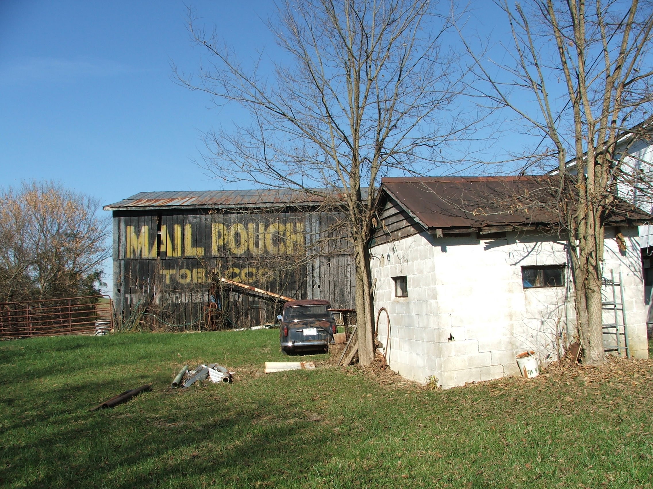
17-49-02, Harrison County, Kentucky

2012-07-30_19-55-03_440
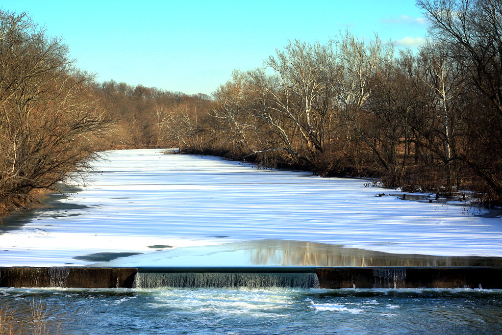
Poindexter Dam on a Sunny Evening

Robinson Dam

Robinson Dam
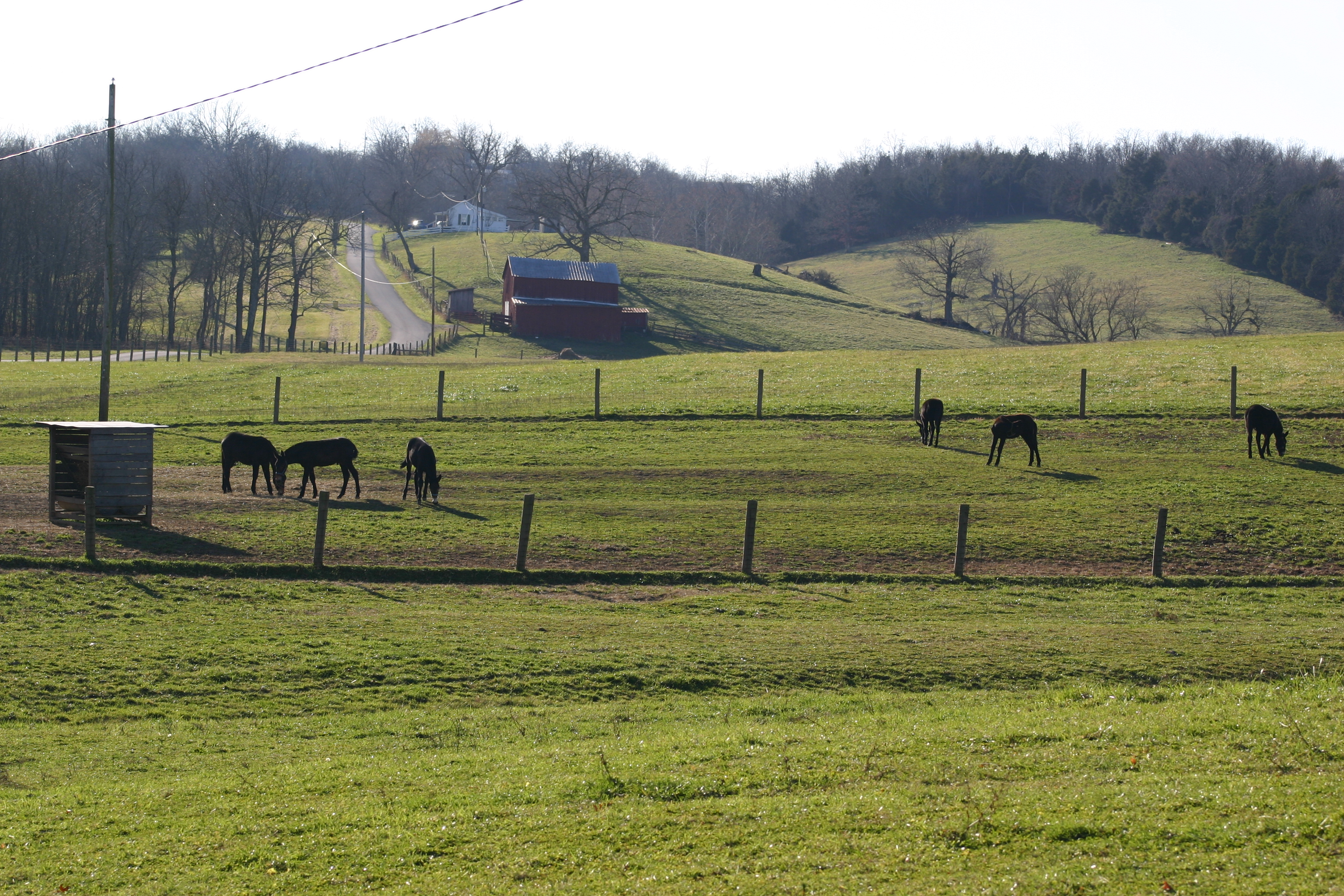
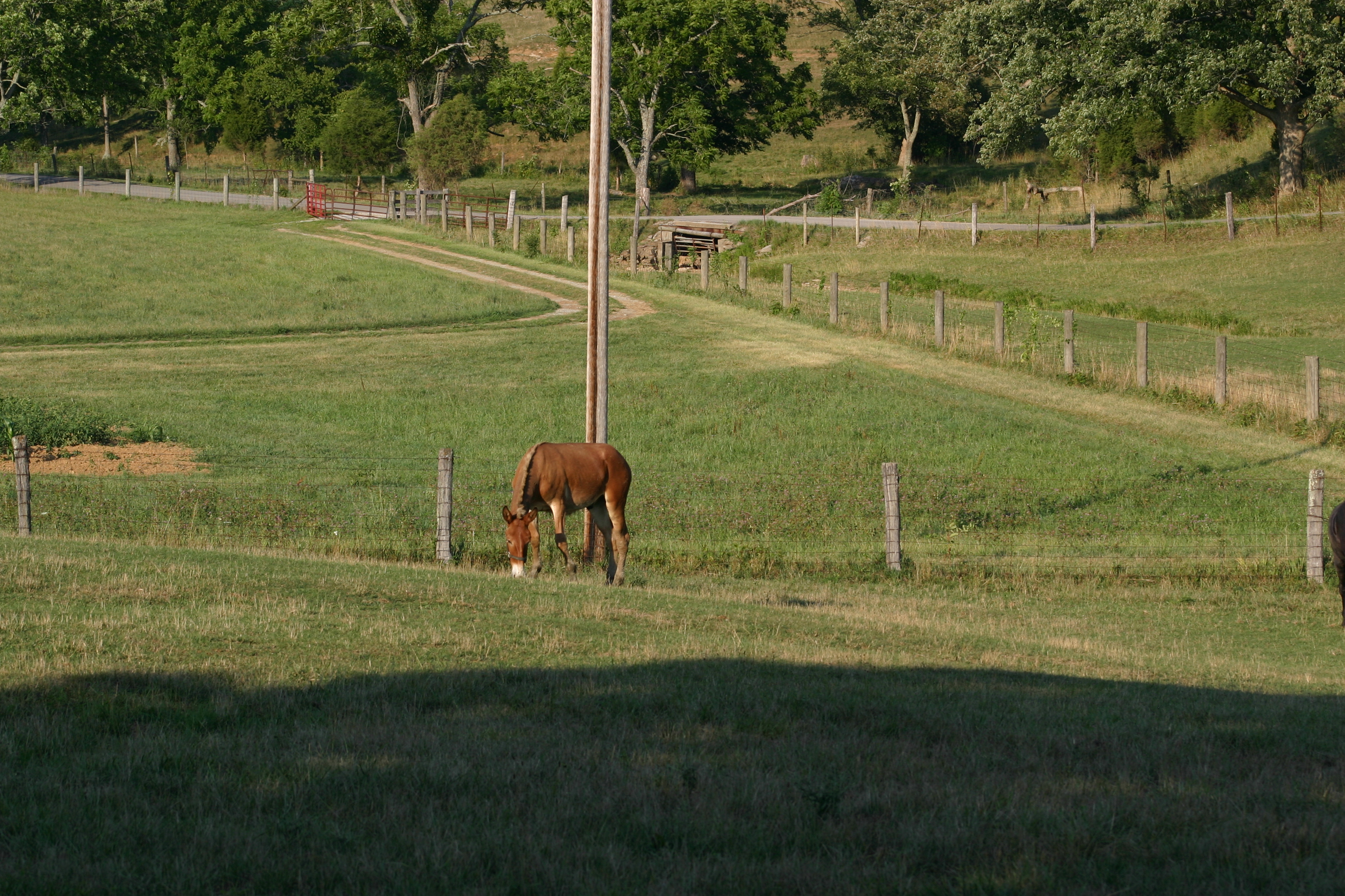
Gray Mules in the field

Robinson Dam
Baby Gray Mules Playing

2012-07-30_19-50-38_258

2012-07-30_19-21-30_935

2012-07-30_19-52-05_913

2012-07-30_19-52-12_466

2012-07-30_19-51-35_667

2012-07-30_19-52-02_585
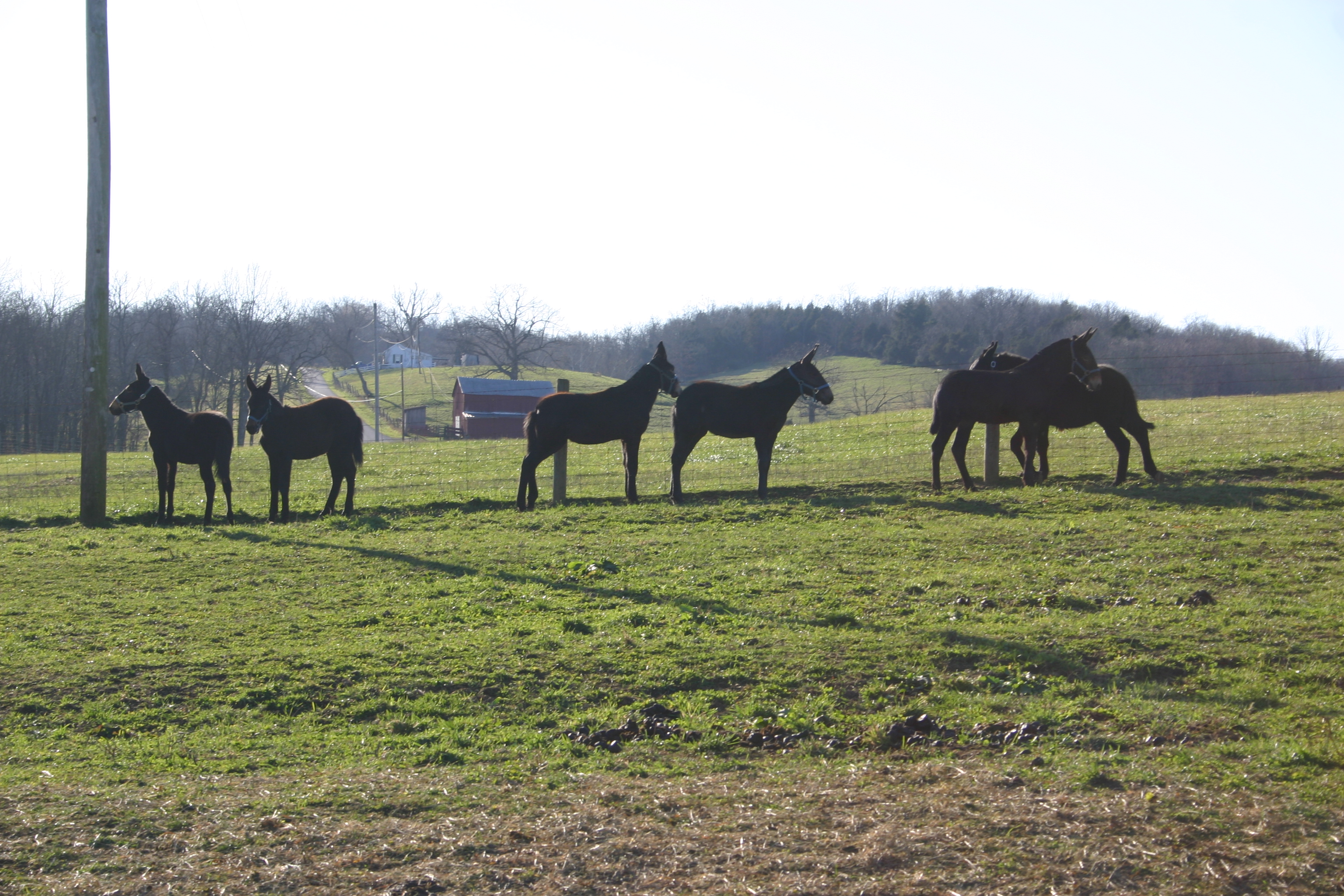
Mule 1

2012-07-30_19-26-18_665

2012-07-30_19-51-41_711

2012-07-30_19-37-35_270

2012-07-30_19-37-41_199

2012-07-30_19-51-32_95

Morning Glory

2012-07-30_19-22-29_145
Topographic Map of Harrison County, KY, USA
Find elevation by address:

Places in Harrison County, KY, USA:
Places near Harrison County, KY, USA:
401 W Pleasant St
104 E Pleasant St
Cynthiana
2 S Church St, Cynthiana, KY, USA
405 E Bridge St
95 Wornall Ln
75 Tranquil Ln
US-27, Cynthiana, KY, USA
Kelat
54 Russell Cave Rd, Cynthiana, KY, USA
215 Old Us Hwy 27
161 Hicks Pike
Oddville Pike, Cynthiana, KY, USA
Millersburg Pike, Cynthiana, KY, USA
1649 Old Ruddles Mill Rd
KY-, Paris, KY, USA
US-27, Falmouth, KY, USA
Collier Rd, Cynthiana, KY, USA
North Rhonda Drive
Hanson Heights
Recent Searches:
- Elevation of Corso Fratelli Cairoli, 35, Macerata MC, Italy
- Elevation of Tallevast Rd, Sarasota, FL, USA
- Elevation of 4th St E, Sonoma, CA, USA
- Elevation of Black Hollow Rd, Pennsdale, PA, USA
- Elevation of Oakland Ave, Williamsport, PA, USA
- Elevation of Pedrógão Grande, Portugal
- Elevation of Klee Dr, Martinsburg, WV, USA
- Elevation of Via Roma, Pieranica CR, Italy
- Elevation of Tavkvetili Mountain, Georgia
- Elevation of Hartfords Bluff Cir, Mt Pleasant, SC, USA