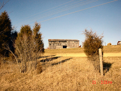
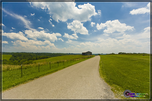
Elevation of North Rhonda Drive, N Rhonda Dr, Kentucky, USA
Location: United States > Kentucky > Pendleton County > Falmouth >
Longitude: -84.321806
Latitude: 38.6645873
Elevation: 218m / 715feet
Barometric Pressure: 99KPa
Related Photos:
Topographic Map of North Rhonda Drive, N Rhonda Dr, Kentucky, USA
Find elevation by address:

Places near North Rhonda Drive, N Rhonda Dr, Kentucky, USA:
Falmouth
W Shelby St, Falmouth, KY, USA
259 Falmouth Brooksville Rd
US-27, Falmouth, KY, USA
Pendleton County
W State Hwy 22, Falmouth, KY, USA
US-27, Butler, KY, USA
KY-10, Falmouth, KY, USA
8 State Hwy 22, Brooksville, KY, USA
Butler
KY-, Butler, KY, USA
102 Riverside Dr
Kelat
Willow Lenoxburg Rd, Brooksville, KY, USA
KY-10, Butler, KY, USA
Foster
Gibson Lane
Main St, Moscow, OH, USA
Powersville-Willow Rd, Brooksville, KY, USA
Western Hills Rd, Foster, KY, USA
Recent Searches:
- Elevation of Corso Fratelli Cairoli, 35, Macerata MC, Italy
- Elevation of Tallevast Rd, Sarasota, FL, USA
- Elevation of 4th St E, Sonoma, CA, USA
- Elevation of Black Hollow Rd, Pennsdale, PA, USA
- Elevation of Oakland Ave, Williamsport, PA, USA
- Elevation of Pedrógão Grande, Portugal
- Elevation of Klee Dr, Martinsburg, WV, USA
- Elevation of Via Roma, Pieranica CR, Italy
- Elevation of Tavkvetili Mountain, Georgia
- Elevation of Hartfords Bluff Cir, Mt Pleasant, SC, USA


