Elevation of Foster, KY, USA
Location: United States > Kentucky > Bracken County >
Longitude: -84.212989
Latitude: 38.7992355
Elevation: 162m / 531feet
Barometric Pressure: 99KPa
Elevation Map:
Satellite Map:
Related Photos:
Felicity, Ohio

Neville, Ohio
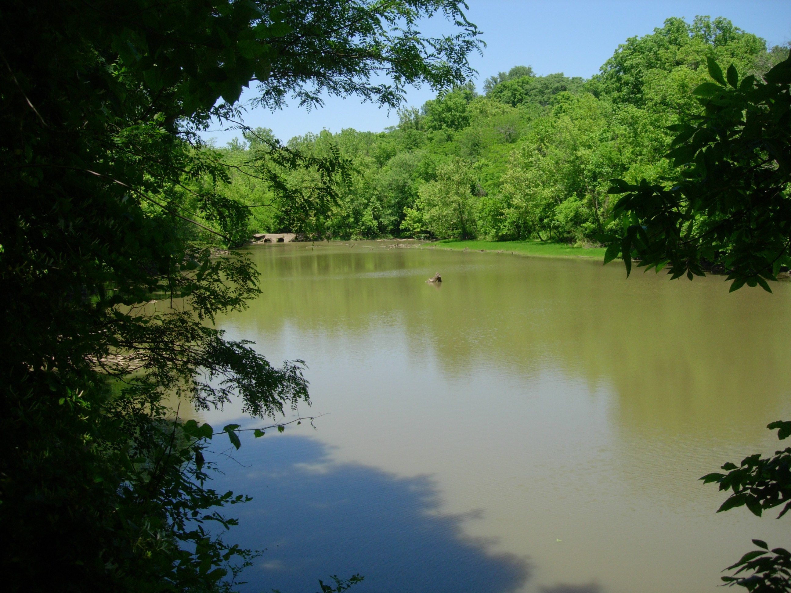
Crooked Run Estuary

Ohio River from Crooked Run
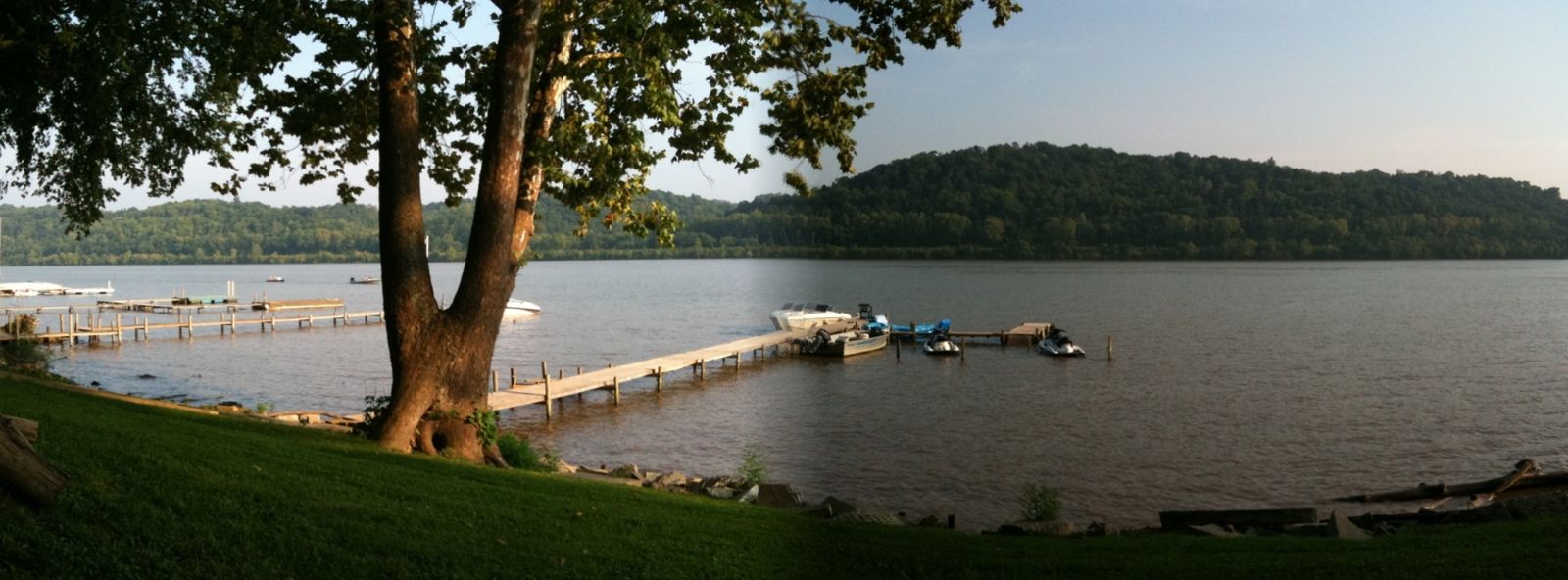
River View

Looming Neighbor

Crooked Run Meadow
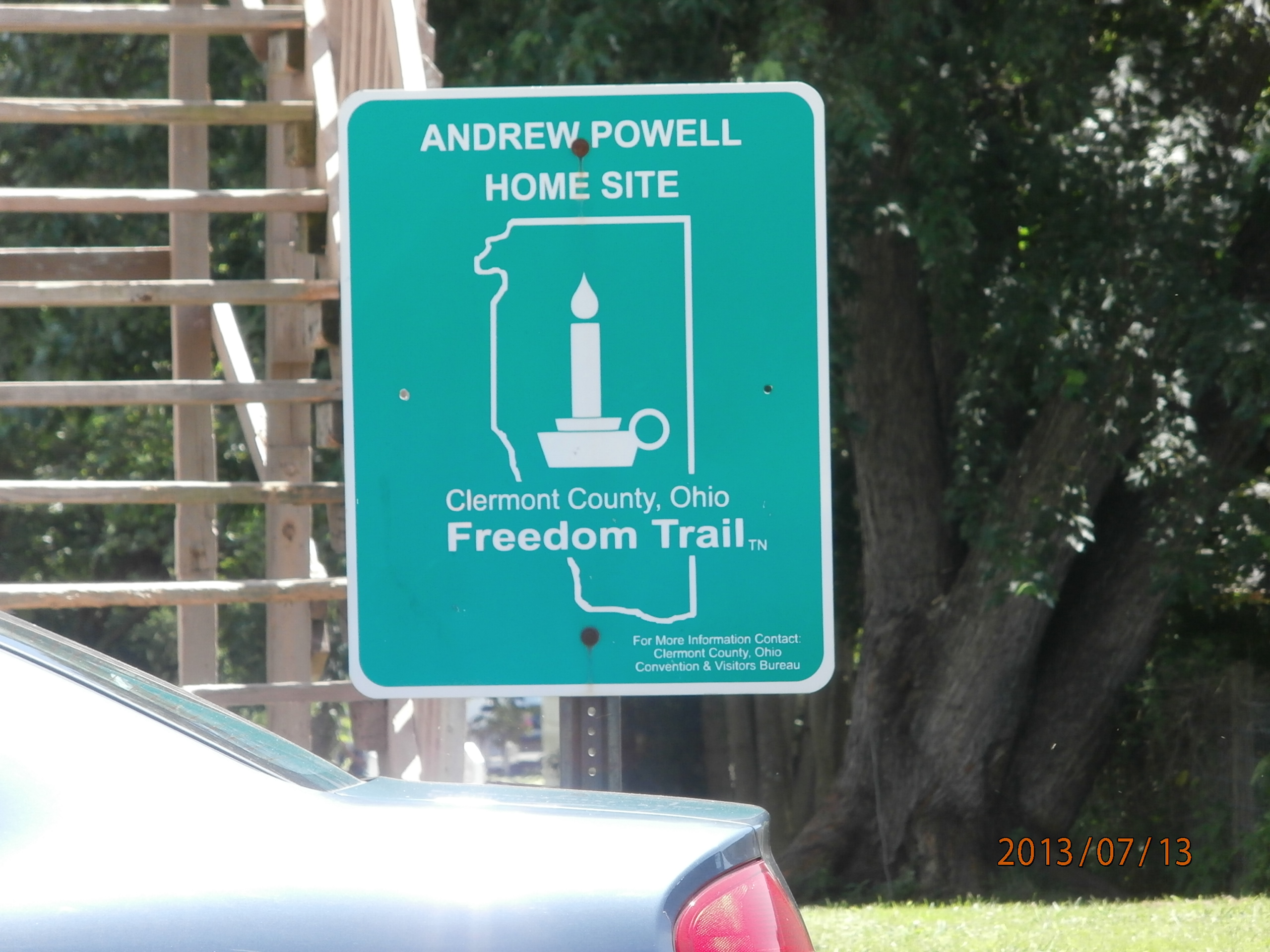
Andrew Powell Home Site

Felicity Cemetery

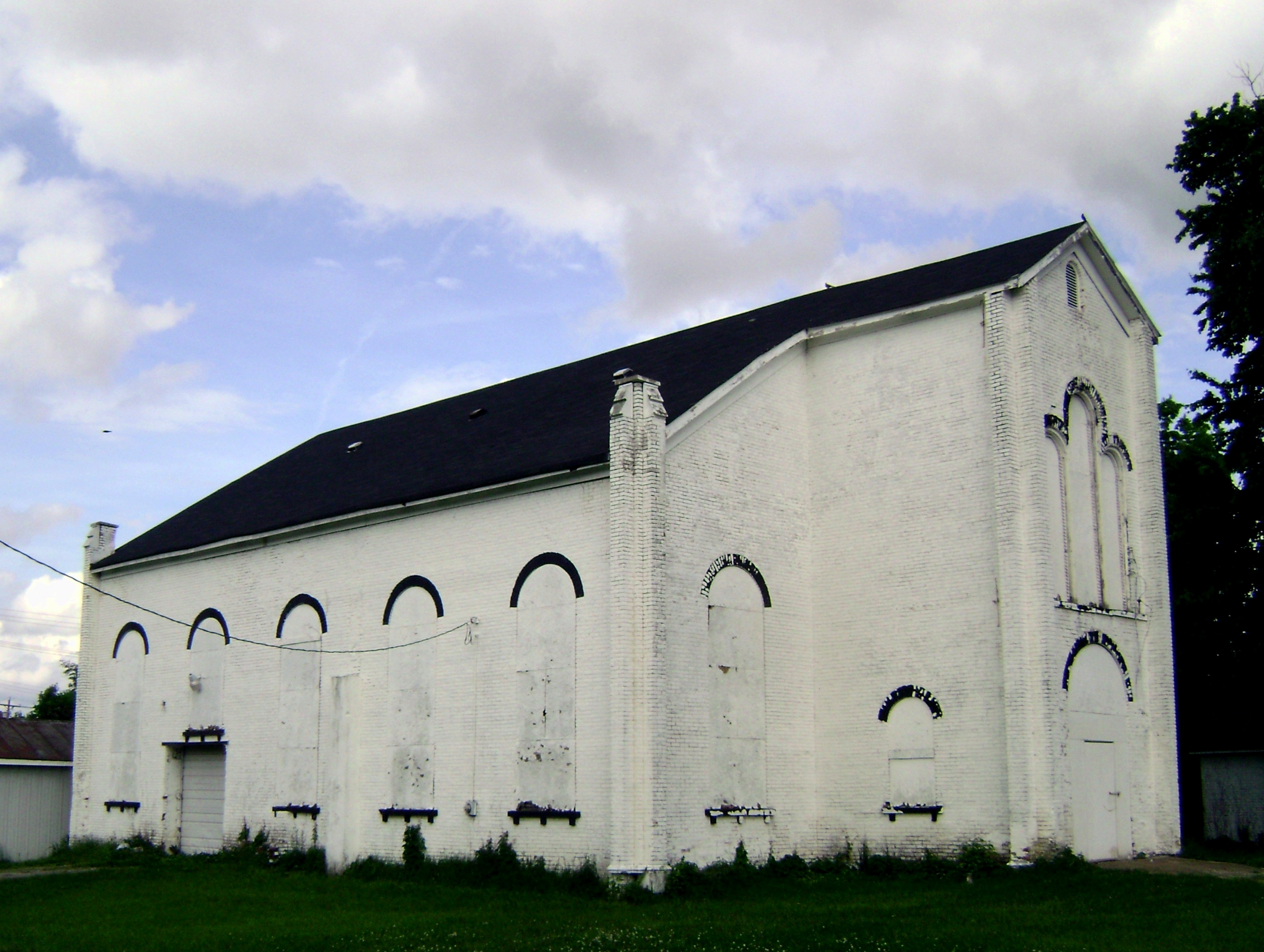
Felicity Wesleyan Church

Walcott bridge, vintage postcard view
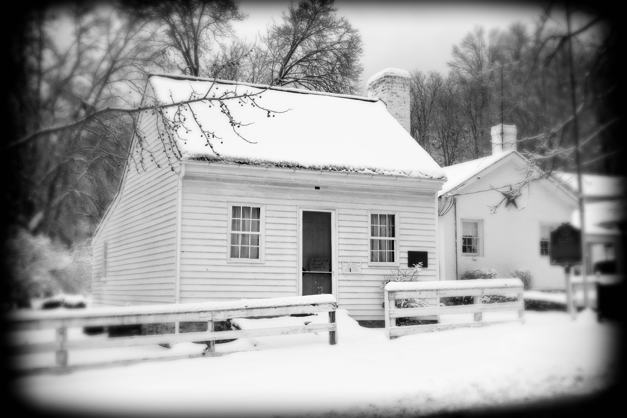
_N5D0914 bw
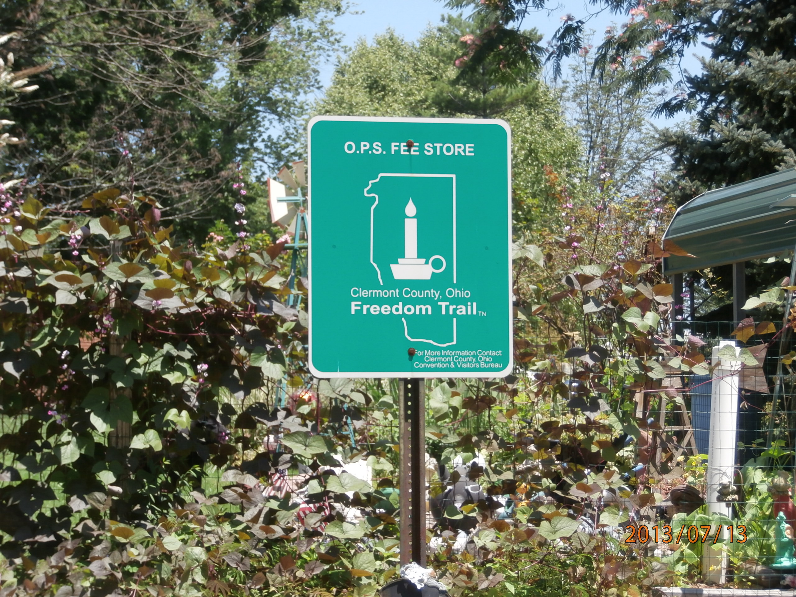
O.P.S. Fee Store

Will Sleet Home Site
View from walkway

Grant Memorial Bridge- Point Pleasant OH (2)

Grant Memorial Bridge- Point Pleasant OH (1)

Arthur Fee Home Site
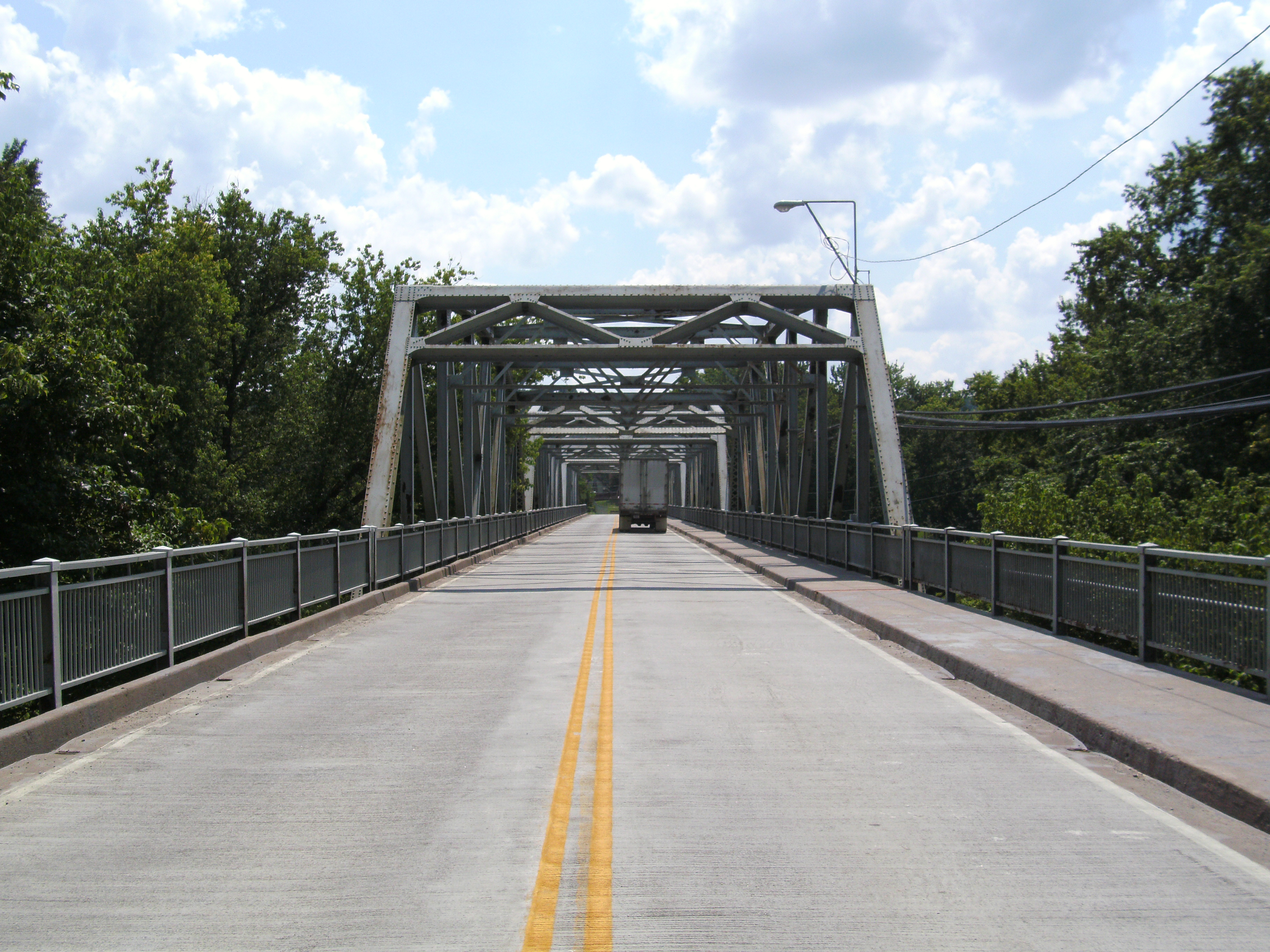
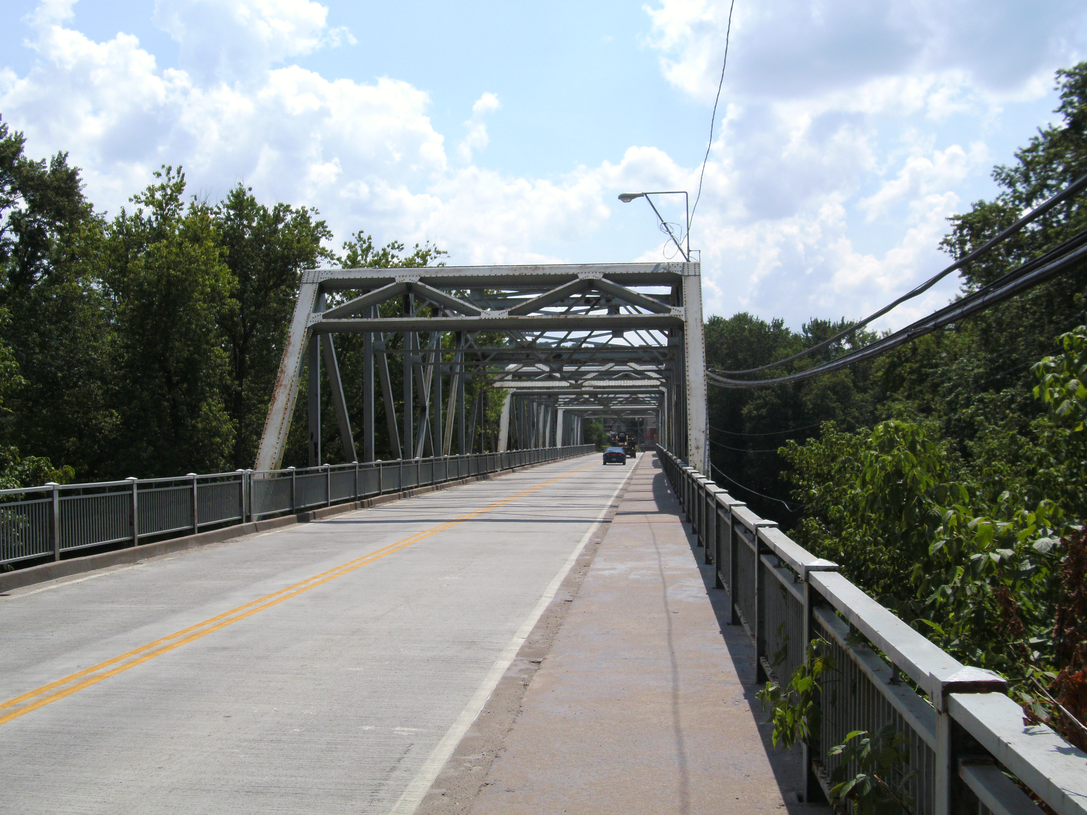
Butler Bridge barrel view

Chilo Lock 34 Park Scenic View
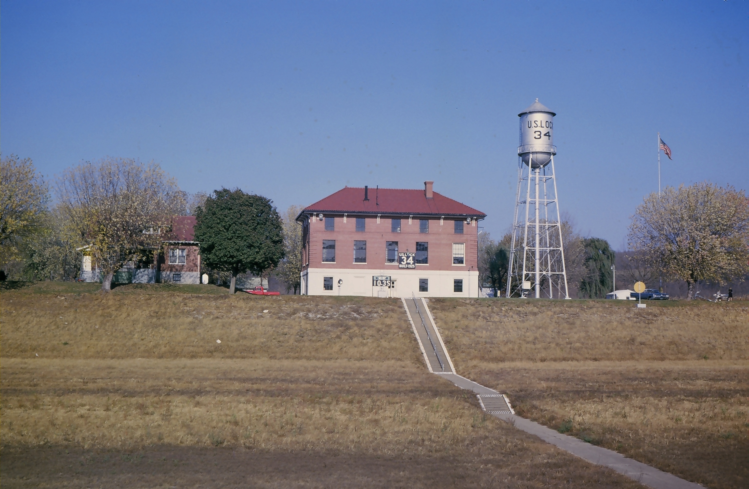
Lock and Dam #34

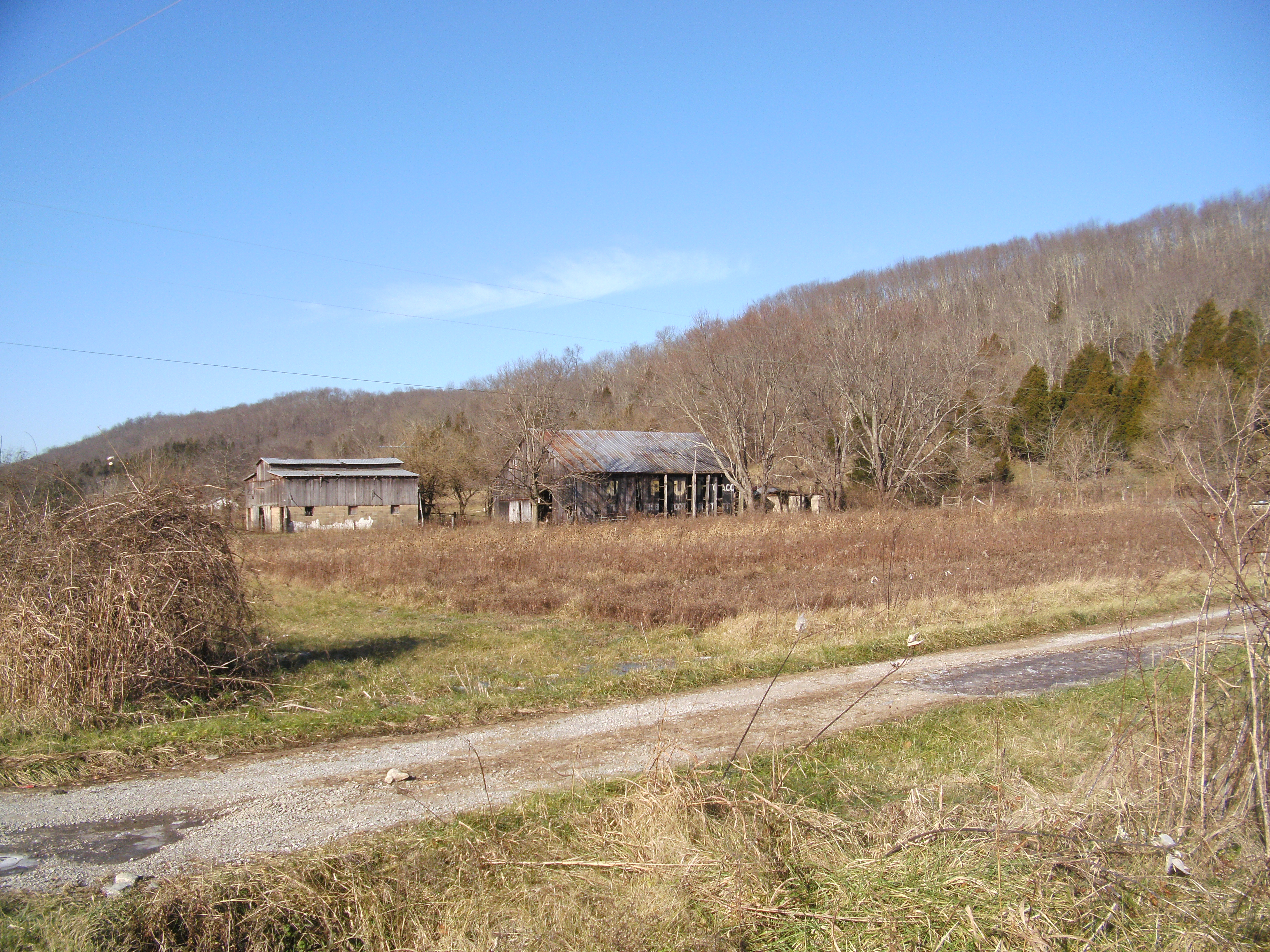
"Barn and Sky". 7-14-2014, near Felicity, Ohio.

Rural (13)
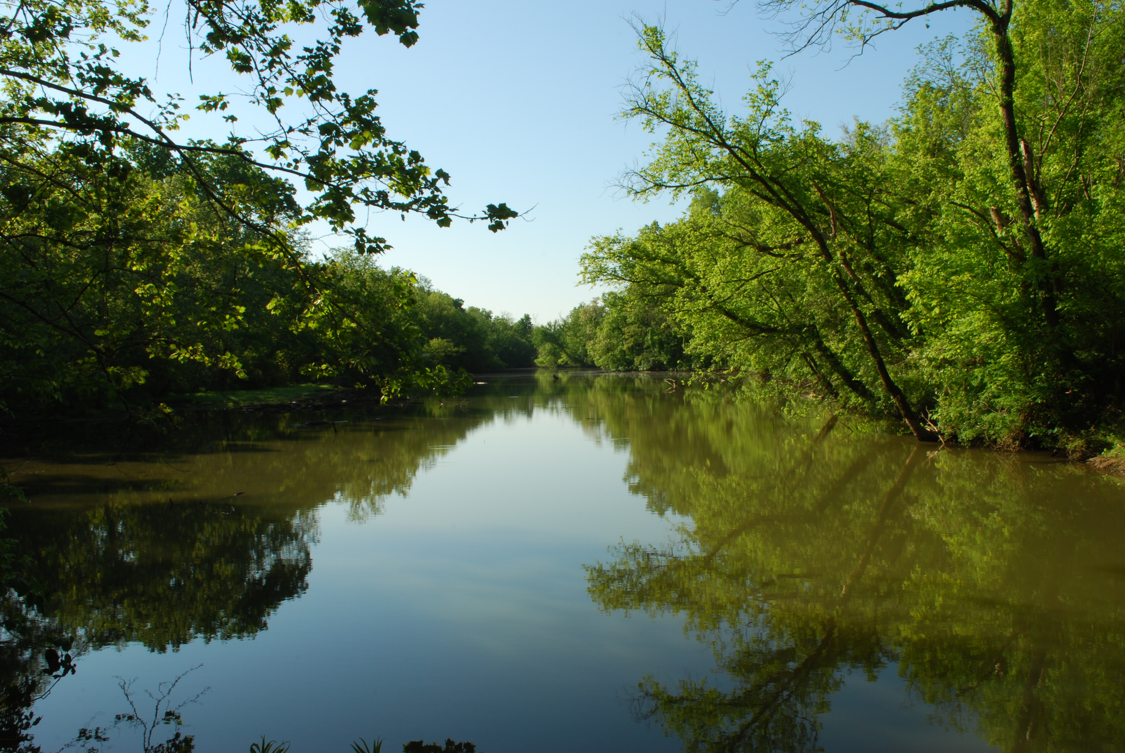
Crooked Run Estuary
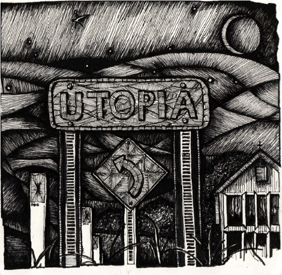
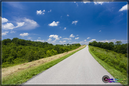
"The Road to Utopia"
MPB 35-08-03, Brown County, Ohio
Original location, Walcott Bridge, Bracken County, Kentucky
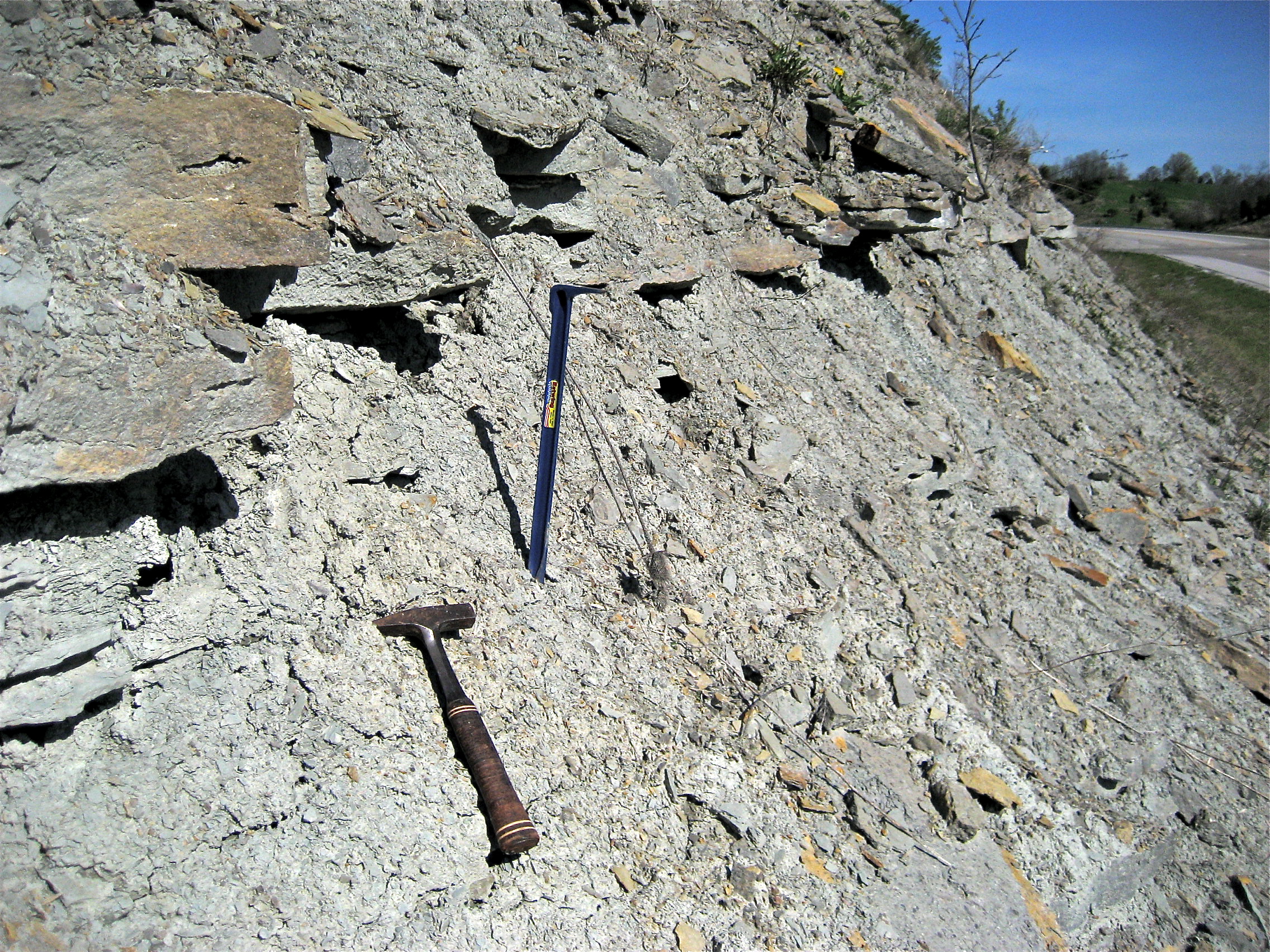
Weathered Outcrop

Fire-99

Kincaid Lake State Park, KY.

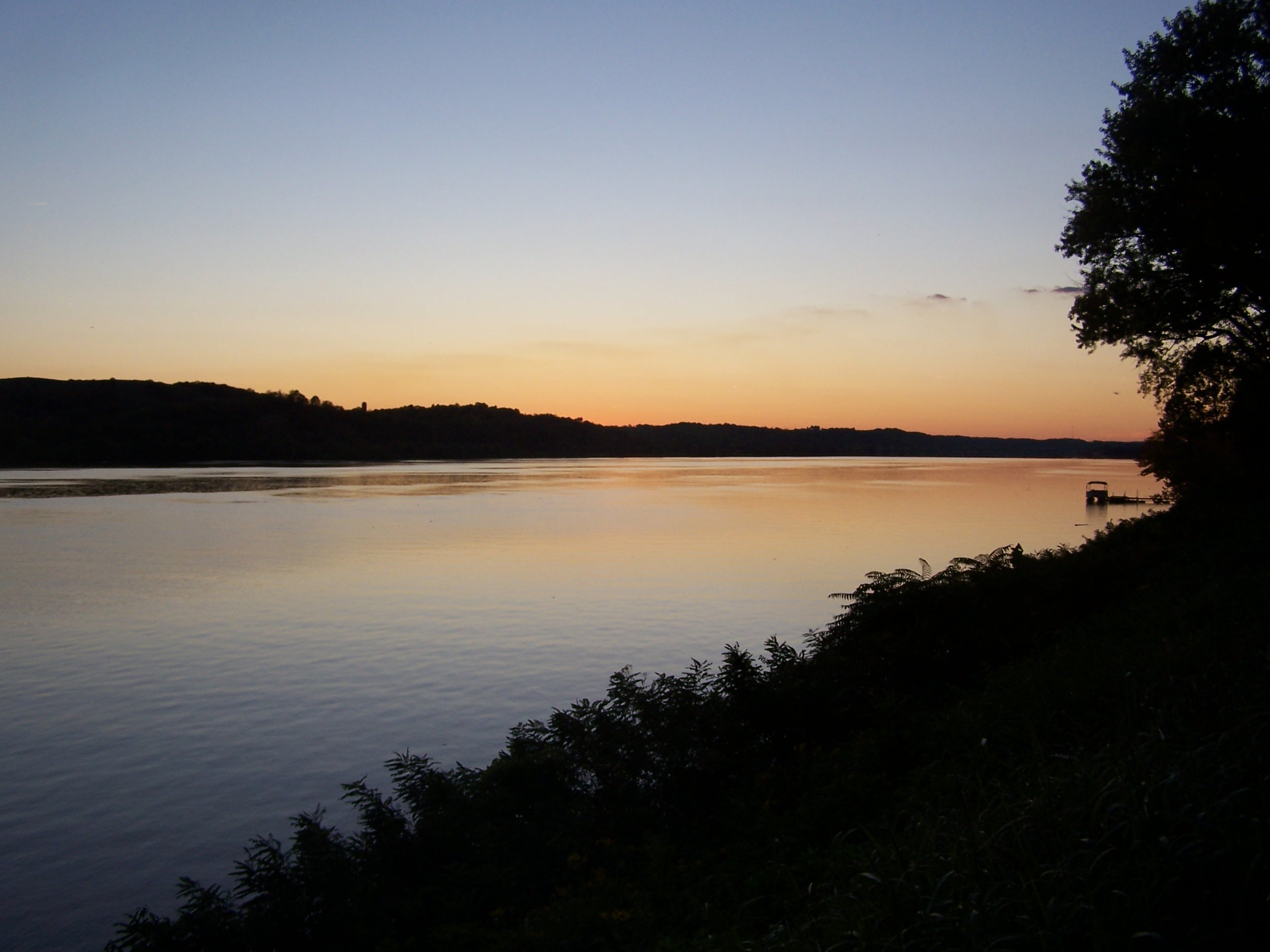
Dusk 2
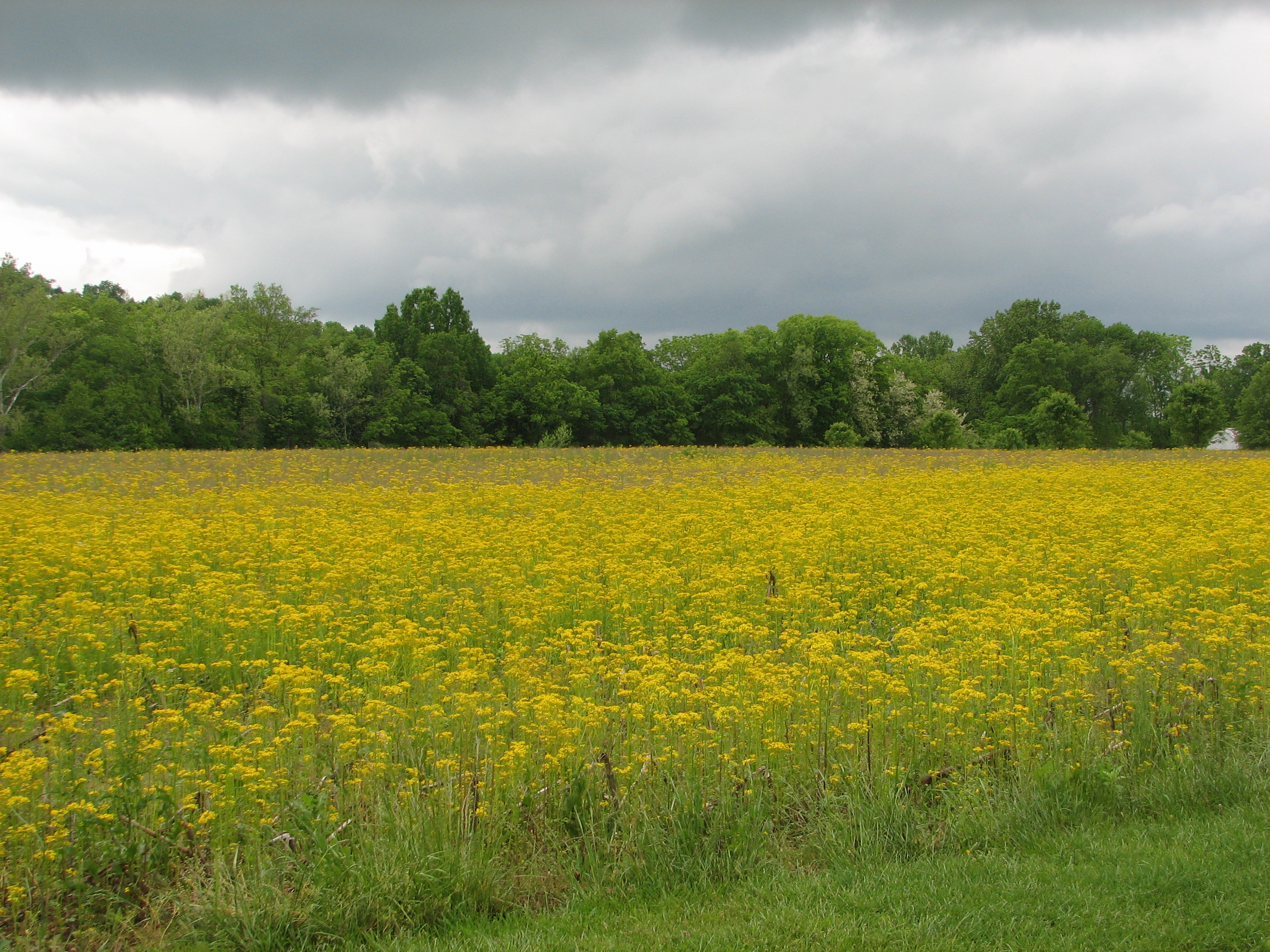
Meadow in Bloom

Giant Swallowtail

Towboat Reflections
Chilo Lock 34 Park at Sunset

New Year's Sunrise at Chilo Lock 34

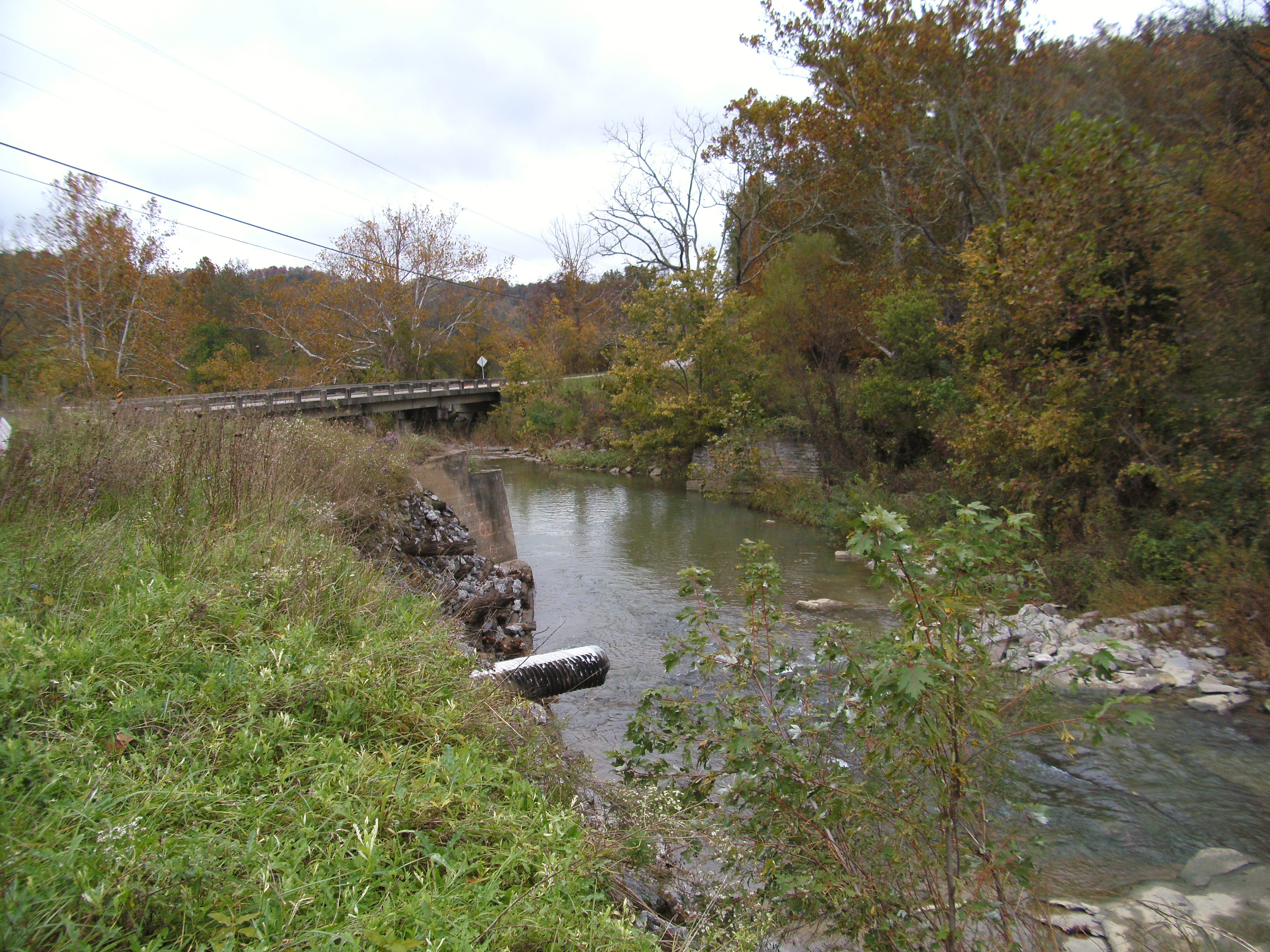
Holts Creek Foster, Ky.

New Year's Sunrise at Chilo Lock 34

Chilo Lock 34 Park Wetland

Chilo Lock #34 Park Wetland
Kentucky Landscape
Topographic Map of Foster, KY, USA
Find elevation by address:

Places in Foster, KY, USA:
Places near Foster, KY, USA:
Main St, Moscow, OH, USA
Gibson Lane
KY-10, Falmouth, KY, USA
KY-, Butler, KY, USA
Western Hills Rd, Foster, KY, USA
KY-10, Butler, KY, USA
903 Main St
Felicity
N Market St, Felicity, OH, USA
84 OH-, Felicity, OH, USA
Willow Lenoxburg Rd, Brooksville, KY, USA
Franklin Township
Salem Ridge Rd, Brooksville, KY, USA
US-27, Butler, KY, USA
259 Falmouth Brooksville Rd
212 W Ln Utopia
Butler
71 Center St
Felicity Cedron Rural Rd, Georgetown, OH, USA
102 Riverside Dr
Recent Searches:
- Elevation of Corso Fratelli Cairoli, 35, Macerata MC, Italy
- Elevation of Tallevast Rd, Sarasota, FL, USA
- Elevation of 4th St E, Sonoma, CA, USA
- Elevation of Black Hollow Rd, Pennsdale, PA, USA
- Elevation of Oakland Ave, Williamsport, PA, USA
- Elevation of Pedrógão Grande, Portugal
- Elevation of Klee Dr, Martinsburg, WV, USA
- Elevation of Via Roma, Pieranica CR, Italy
- Elevation of Tavkvetili Mountain, Georgia
- Elevation of Hartfords Bluff Cir, Mt Pleasant, SC, USA