Elevation of Franklin Township, OH, USA

Location: United States > Ohio > Clermont County >

Longitude: -84.080161

Latitude: 38.8170923

Elevation: 258m / 846feet

Barometric Pressure: 98KPa

Elevation Map:

elevation map of Franklin Township, OH, USA
Satellite Map:

Satellite map of Franklin Township, OH, USA
Related Photos:

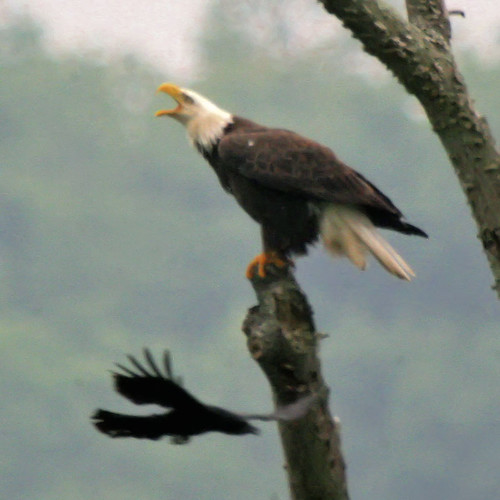
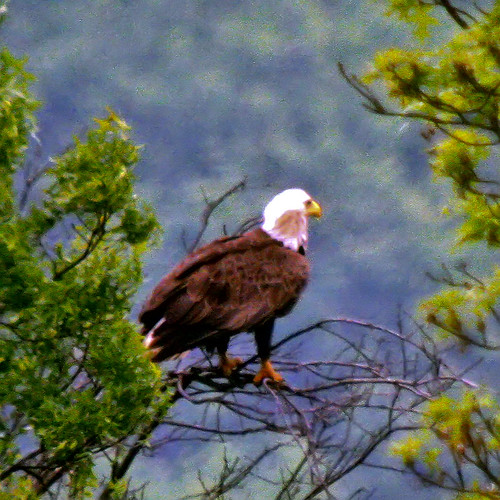
ohio baldeagle haliaeetusleucocephalus digiscoped higginsport
BALD EAGLE
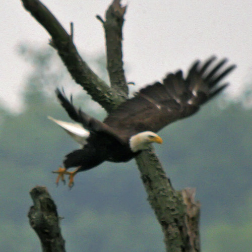
ohio baldeagle haliaeetusleucocephalus digiscoped higginsport
BALD EAGLE
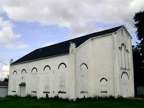
county railroad ohio brick abandoned church rural underground decay forgotten historical felicity clermont wesleyan 1847
Felicity, Ohio
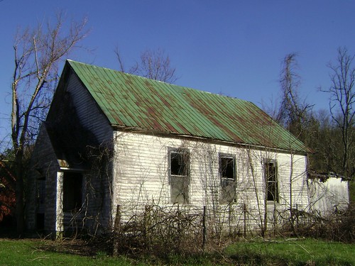
county ohio abandoned church rock rural wooden flat decay forgotten clermont neville
Neville, Ohio
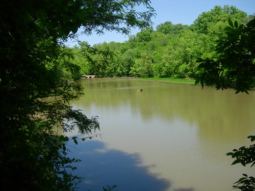
naturepreserve clermontcounty odnr crookedrun clermontcountyparkdistrict
Crooked Run Estuary
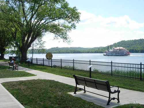
riverboat ohioriver chilo clermontcounty belleofcincinnati chilolock34park
Chilo Lock 34 Park Scenic View
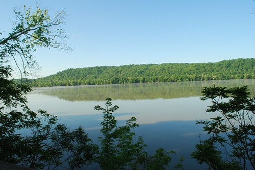
naturepreserve ohioriver clermontcounty odnr crookedrun clermontcountyparkdistrict
Ohio River from Crooked Run
Today in the Ohio Valley
ohio moscow nuclear powerplant coal ohioriver coolingtower floodplain
Looming Neighbor
river
River View
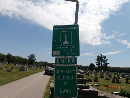
ohio marker bethel clermontco clermontcountyfreedomtrail
Tate Township Cemetery
naturepreserve clermontcounty odnr crookedrun clermontcountyparkdistrict
Crooked Run Meadow
ohioriver chilo lockanddam deltaqueen chilolock34park
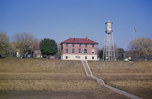
Lock and Dam #34
ohio baldeagle haliaeetusleucocephalus eaglet digiscoped higginsport
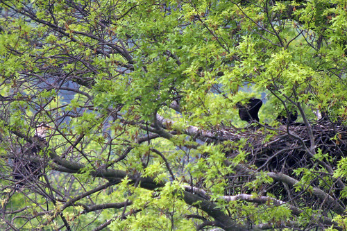
BALD EAGLE & 3 EAGLETS
ohio marker felicity clermontco clermontcountyfreedomtrail
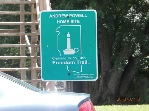
Andrew Powell Home Site
ohio marker felicity clermontco clermontcountyfreedomtrail
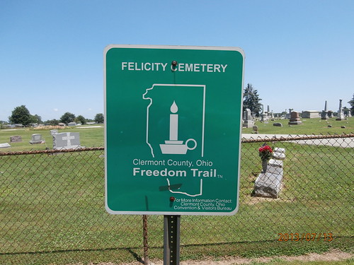
Felicity Cemetery
ohio marker felicity clermontco clermontcountyfreedomtrail
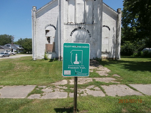
Felicity Wesleyan Church
kentucky coveredbridge backroads
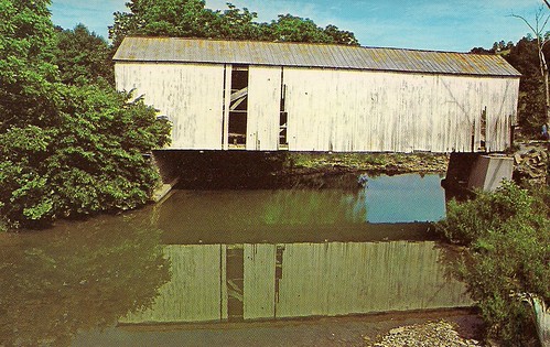
Walcott bridge, vintage postcard view
ohio point pleasant
_N5D0914 bw
ohio baldeagle haliaeetusleucocephalus higginsport
BALD EAGLE - MOBBED BY CROWS
ohio baldeagle haliaeetusleucocephalus americancrow digiscoped higginsport
BALD EAGLE
sunset sky lake reflection tree clouds evening
sunset 4913
winter water creek waterfalls hdr browncountyoh bullskincreek
Bullskin Creek, Black and White HDR
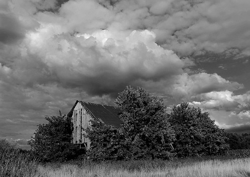
ohio sky barn
"Barn and Sky". 7-14-2014, near Felicity, Ohio.
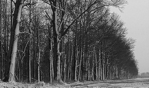
trees winter snow field
Tree Line, 3-7-2013
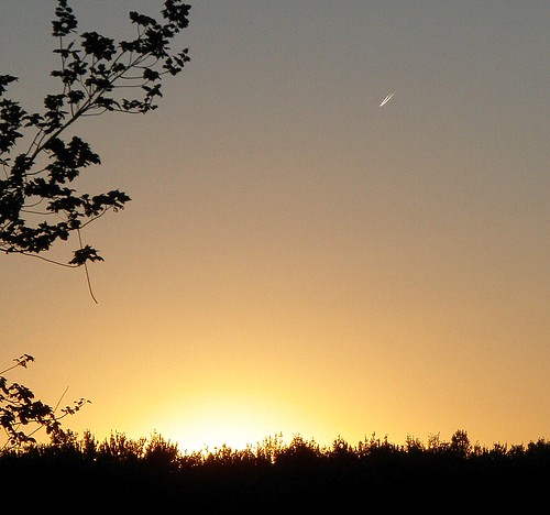
sunset contrails
Sunset Flight.
tree dusk
Dusk 2
morning ohio sunrise dawn browncounty hamersville
Sunrise, 3-21-2014. EXPLORE,3-23-2014.
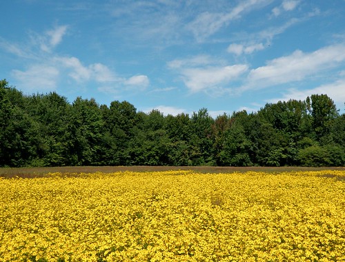
blue trees sky green yellow clouds landscape colorful backdrop wildflowers
Yellow, Blue, and Green.
fire flames
Fire-99
clouds storms stormclouds
Here it comes!
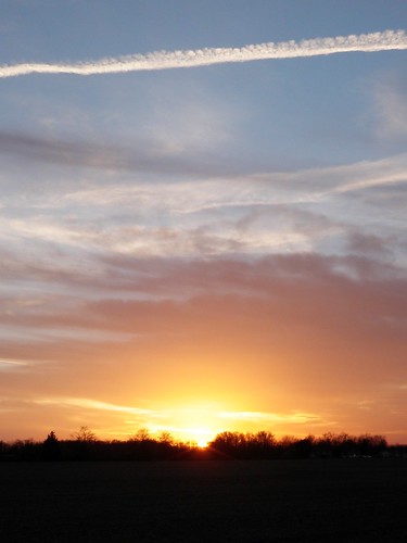
sunset ohio evening contrail dusk browncounty
Sunset and Contrail.
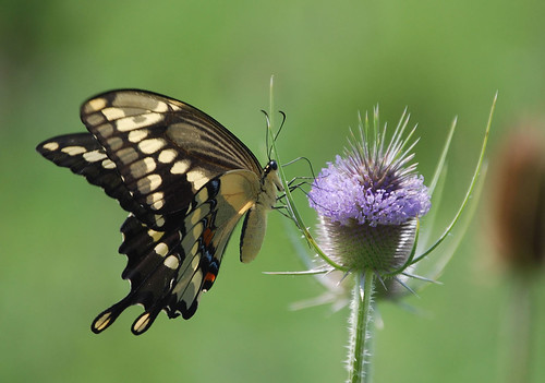
butterfly insect swallowtail giantswallowtail
Giant Swallowtail
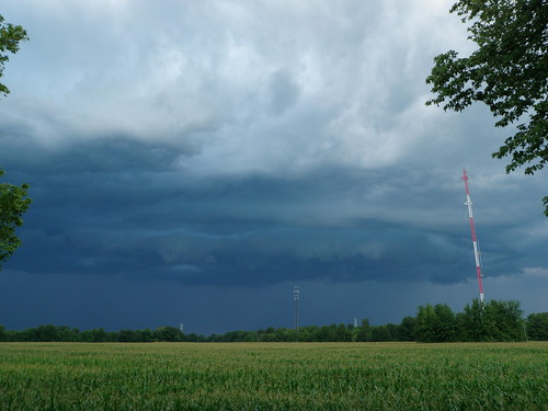
storm
A Storm, Rolls In.

CD Sub Reflections
blackandwhite water creek rocks stream waterfalls
Falls.
sky photography
The Perfect Evening That Never Happened.
morning blackandwhite fog
Ante Meridiem Fog.
barge ohioriver towboat chilo clermontcounty rivertransportation chilolock34park
Towboat Reflections
sunset ohioriver chilo chilolock34park
Chilo Lock 34 Park at Sunset
Chilo Lock #34 Park Wetland
sunset ohio sky storm clouds evening browncounty filteredsunlight hamersville departingstorm
Orange Sky