Elevation of E Main St, Paris, KY, USA
Location: United States > Kentucky > Bourbon County > Paris >
Longitude: -84.243881
Latitude: 38.2147835
Elevation: 250m / 820feet
Barometric Pressure: 98KPa
Elevation Map:
Satellite Map:
Related Photos:
It's The Pits
Back Porch View
La Ville Lumière

Second Great Awakening arrives in Kentucky
TTI 5819 Tarr Road

Bride of Spring, rear view

2012-07-30_19-37-35_270

2012-07-30_19-37-41_199
TTI 9 at Paris, KY
Clay–Kiser Road and Spears Distillery — Shawhan Vicinity, Bourbon County, Kentucky

Remember Our Own Land

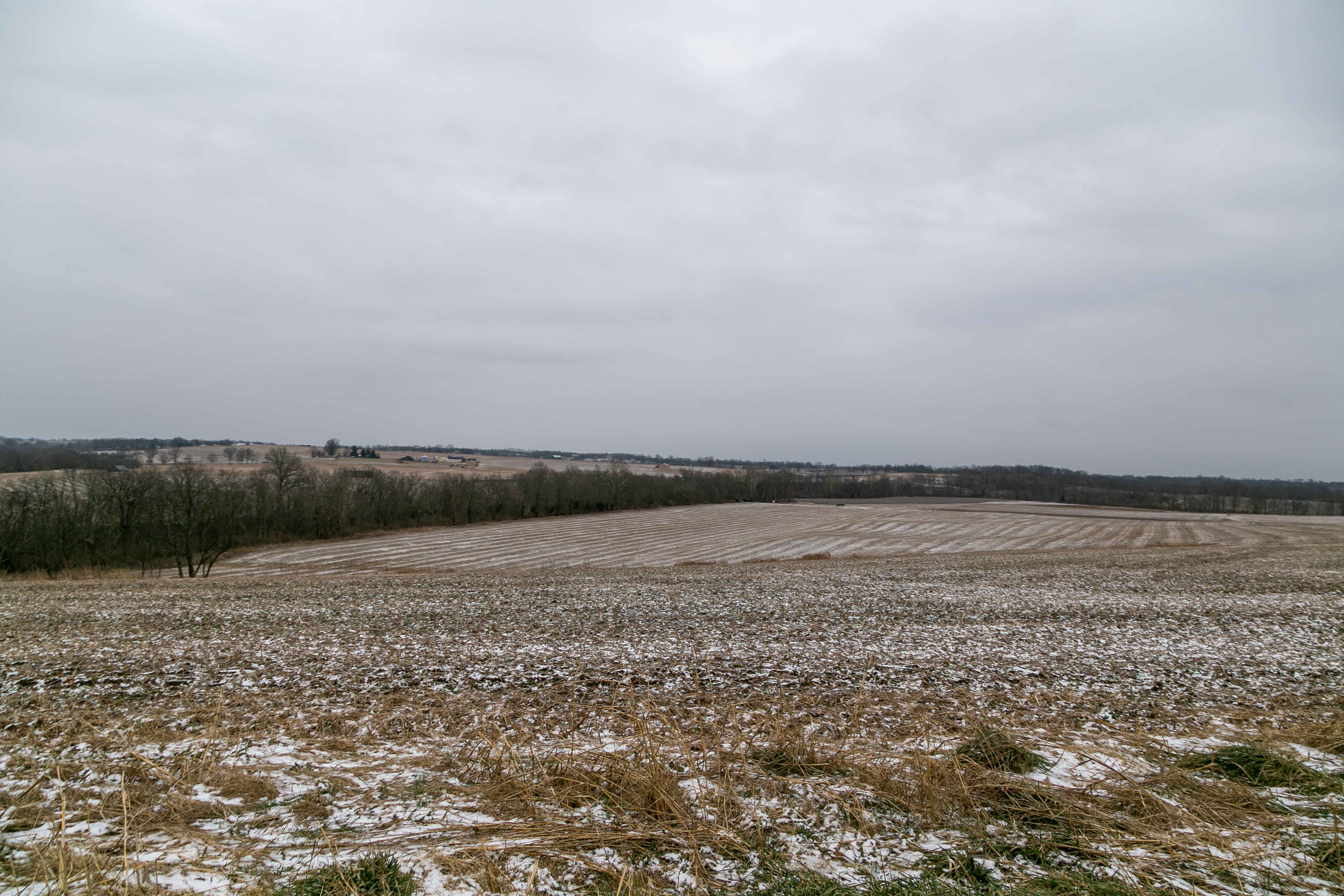
Kentucky Rolling Hills
Panoramic from Rodgers House
Garden Bridge
Stoner Creek Valley — Ruddle's Mills Vicinity, Bourbon County, Kentucky

Stoner Creek Valley — Ruddle's Mills Vicinity, Bourbon County, Kentucky

Hen Escape 16-2

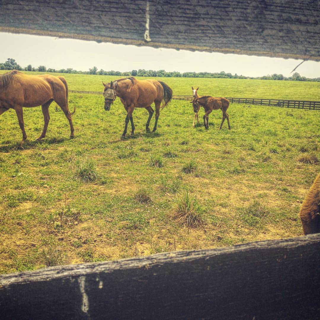
Mare and Foal #horses #horsefarmcountry #horsephotography #backroads #kytourism
Incantata ad osservare #kentucky #horsestagram #horse #horses_of_instagram #cavalli #babyhorse #america #Avventura #adventure #instalike #instagood #photooftheday #libertà

Pure Kentucky
Topographic Map of E Main St, Paris, KY, USA
Find elevation by address:

Places near E Main St, Paris, KY, USA:
268 Houston Ave
Paris
810a
Hanson Heights
Bourbon County
1054 Millersburg Rd
2221 Redbud Ln
306 Ironwood Cir
KY-, Paris, KY, USA
1649 Old Ruddles Mill Rd
Clintonville Rd, Paris, KY, USA
Main St, Paris, KY, USA
Greenwich Pike, Lexington, KY, USA
215 Old Us Hwy 27
Thatchers Mill Rd, Paris, KY, USA
US-27, Cynthiana, KY, USA
Millersburg Pike, Cynthiana, KY, USA
Briar Hill Rd, Paris, KY, USA
54 Russell Cave Rd, Cynthiana, KY, USA
95 Wornall Ln
Recent Searches:
- Elevation of Corso Fratelli Cairoli, 35, Macerata MC, Italy
- Elevation of Tallevast Rd, Sarasota, FL, USA
- Elevation of 4th St E, Sonoma, CA, USA
- Elevation of Black Hollow Rd, Pennsdale, PA, USA
- Elevation of Oakland Ave, Williamsport, PA, USA
- Elevation of Pedrógão Grande, Portugal
- Elevation of Klee Dr, Martinsburg, WV, USA
- Elevation of Via Roma, Pieranica CR, Italy
- Elevation of Tavkvetili Mountain, Georgia
- Elevation of Hartfords Bluff Cir, Mt Pleasant, SC, USA