Elevation of Newbiggin-on-Lune, Kirkby Stephen CA17 4NT, UK
Location: United Kingdom > Cumbria >
Longitude: -2.45657
Latitude: 54.440656
Elevation: 241m / 791feet
Barometric Pressure: 0KPa
Related Photos:
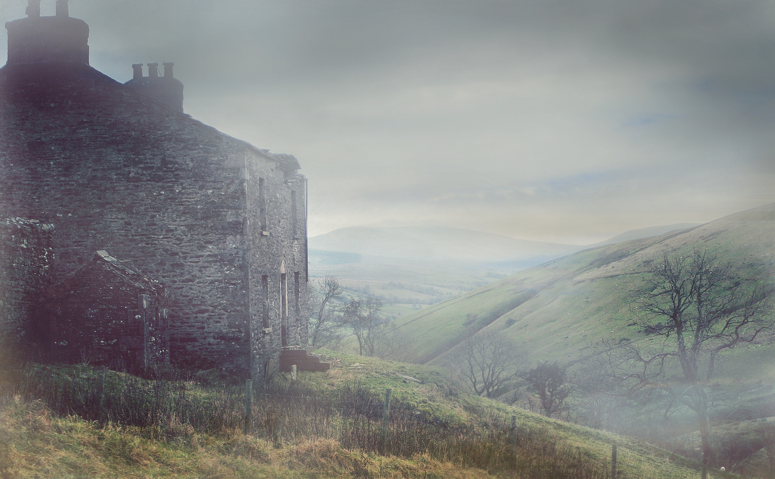
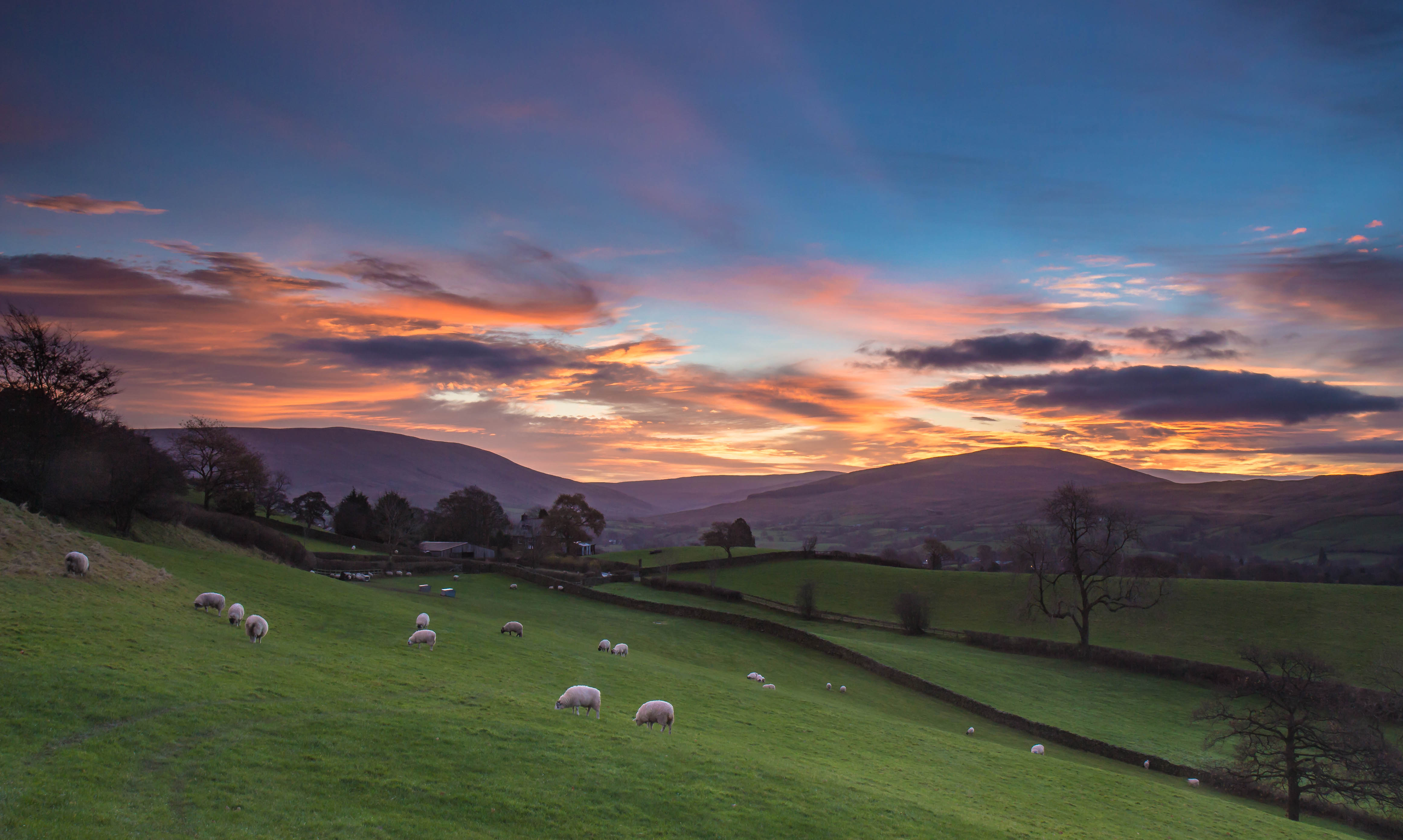
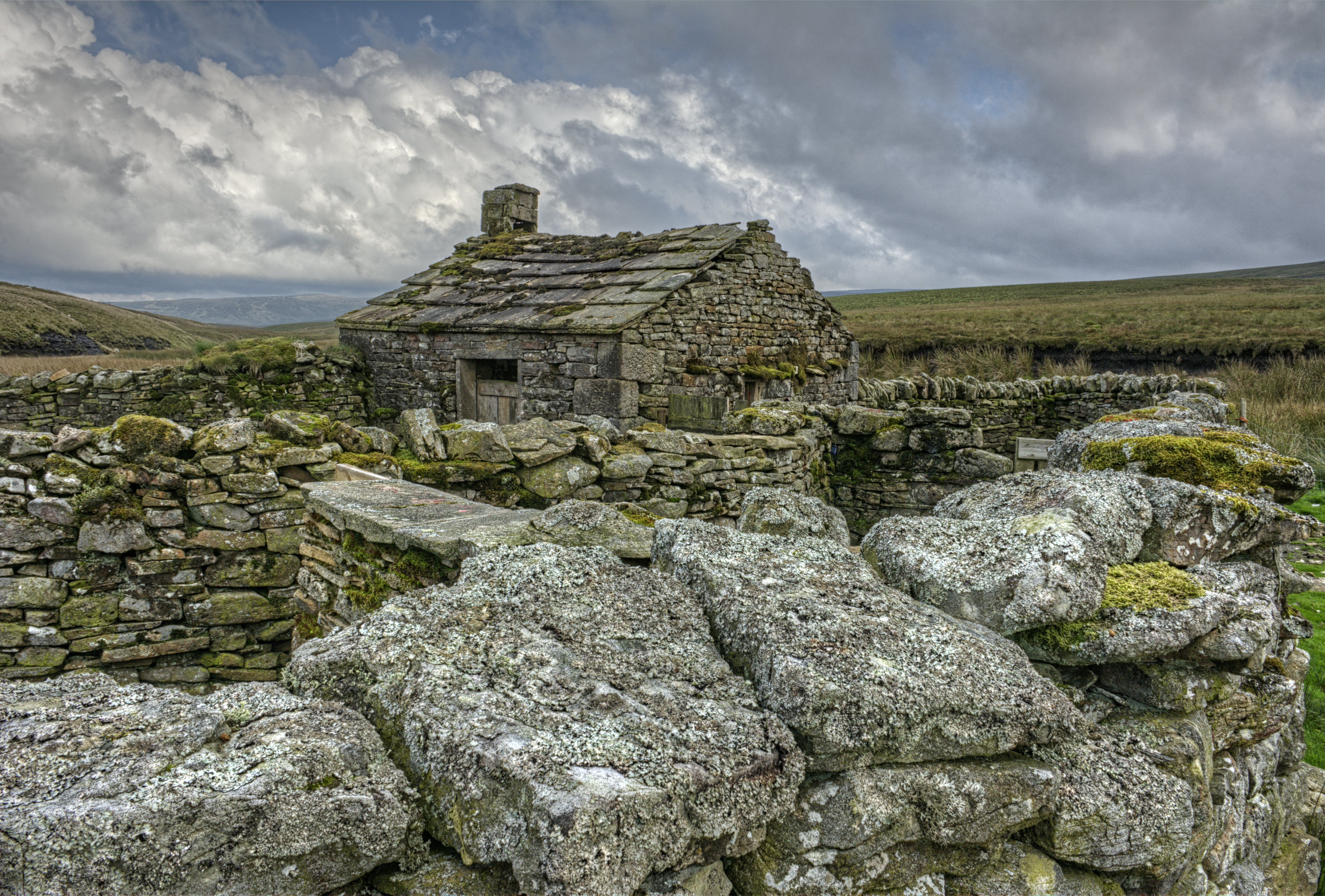
Mountain View Farm

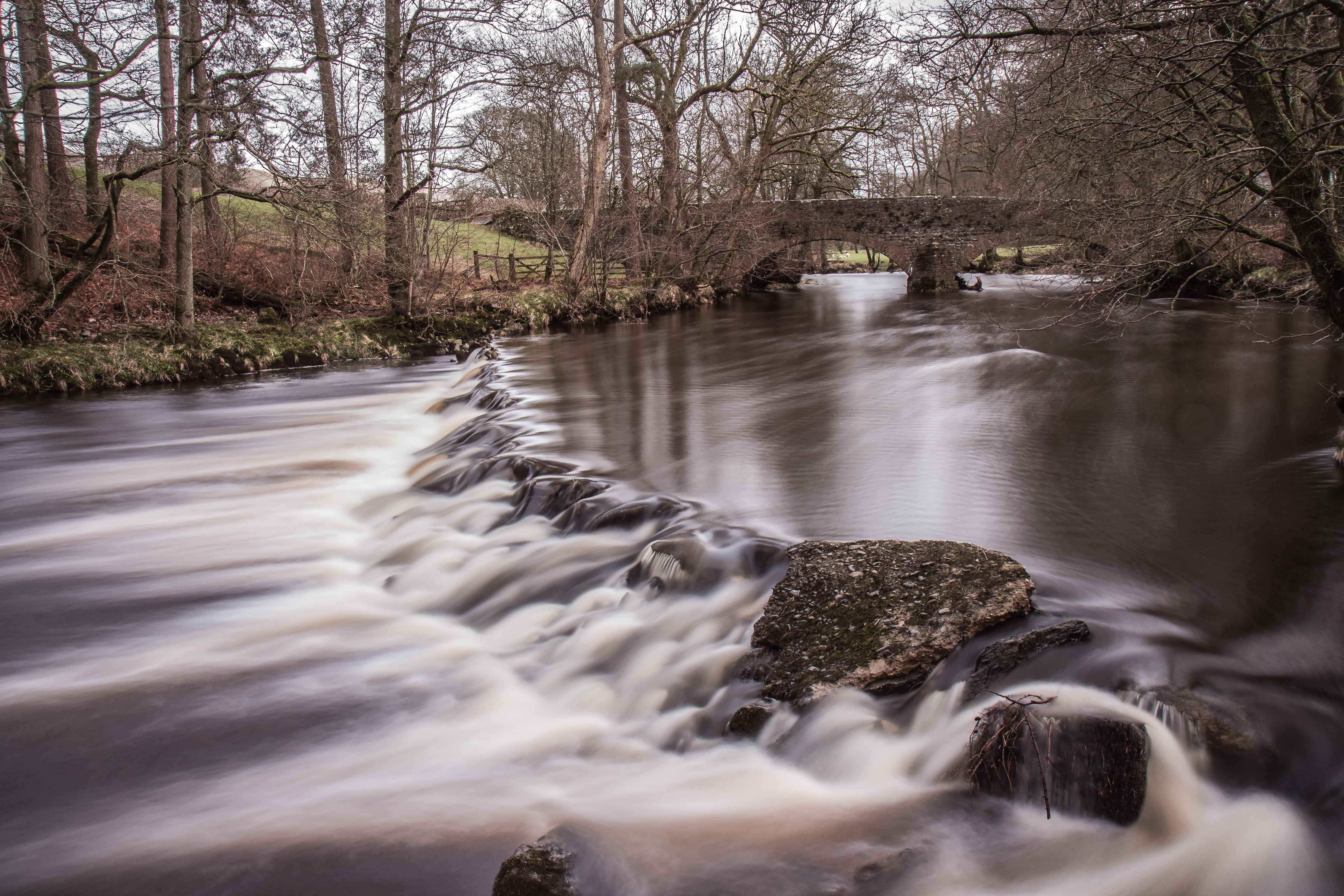
Rutter Falls and Mill

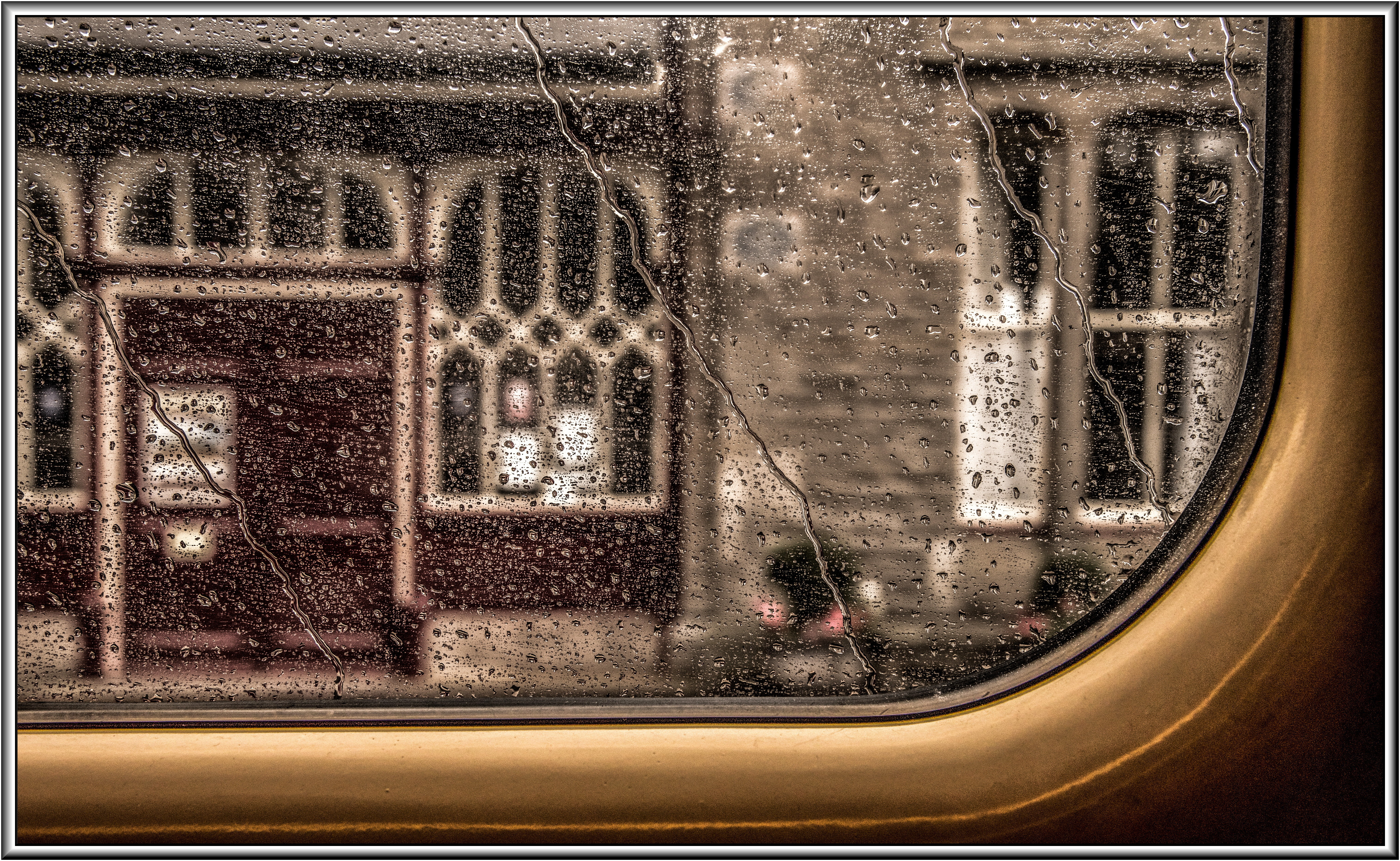
View from just outside a Hotel door. 16
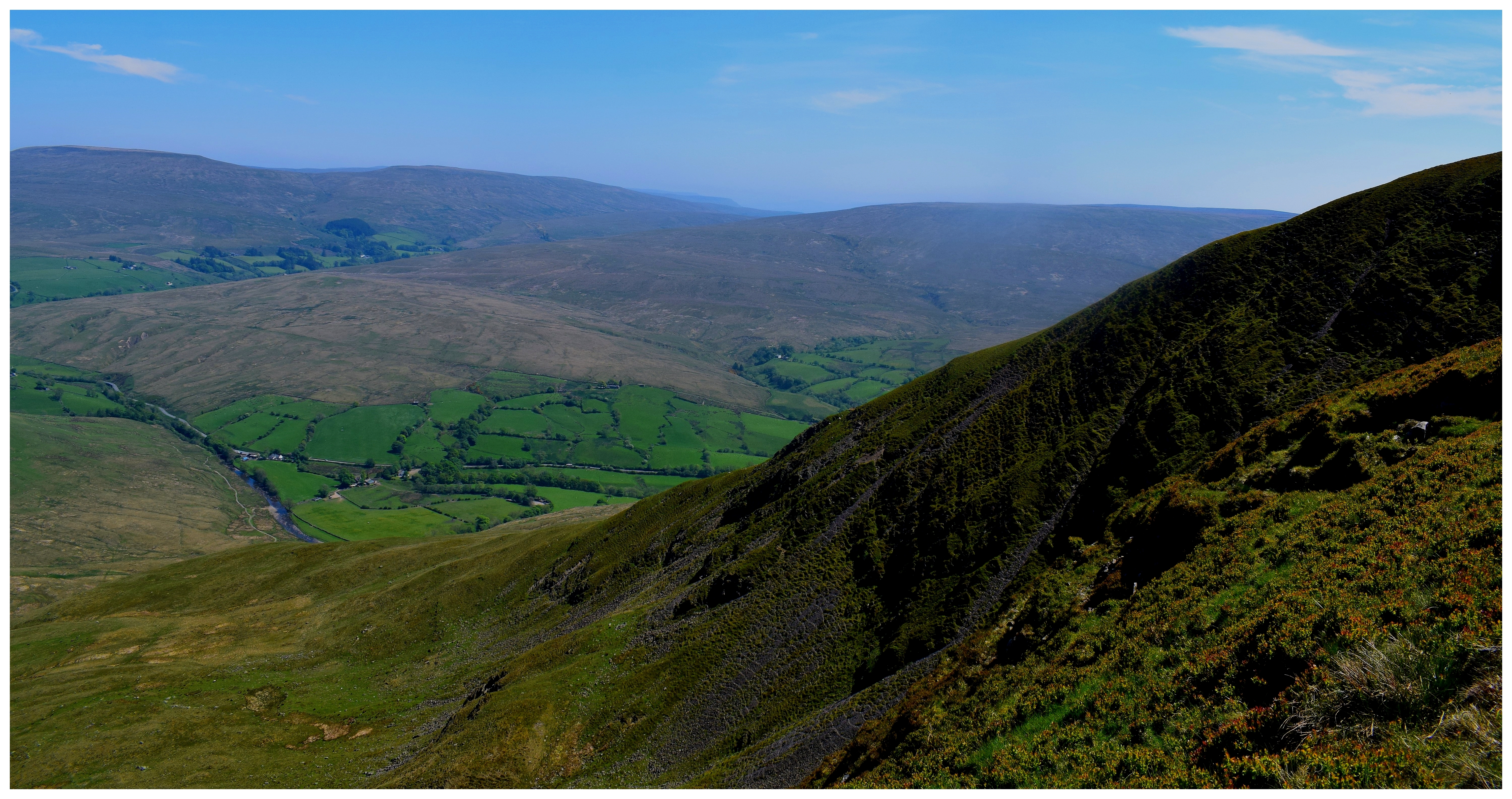
Wild Boar Fell

66080 Dandry Mire Viaduct

66428 Aisgill Viaduct

37521 Aisgill Viaduct

47712 Birkett Common

Moorcock Cottages and a Type 3

'Classic' Shap Wells
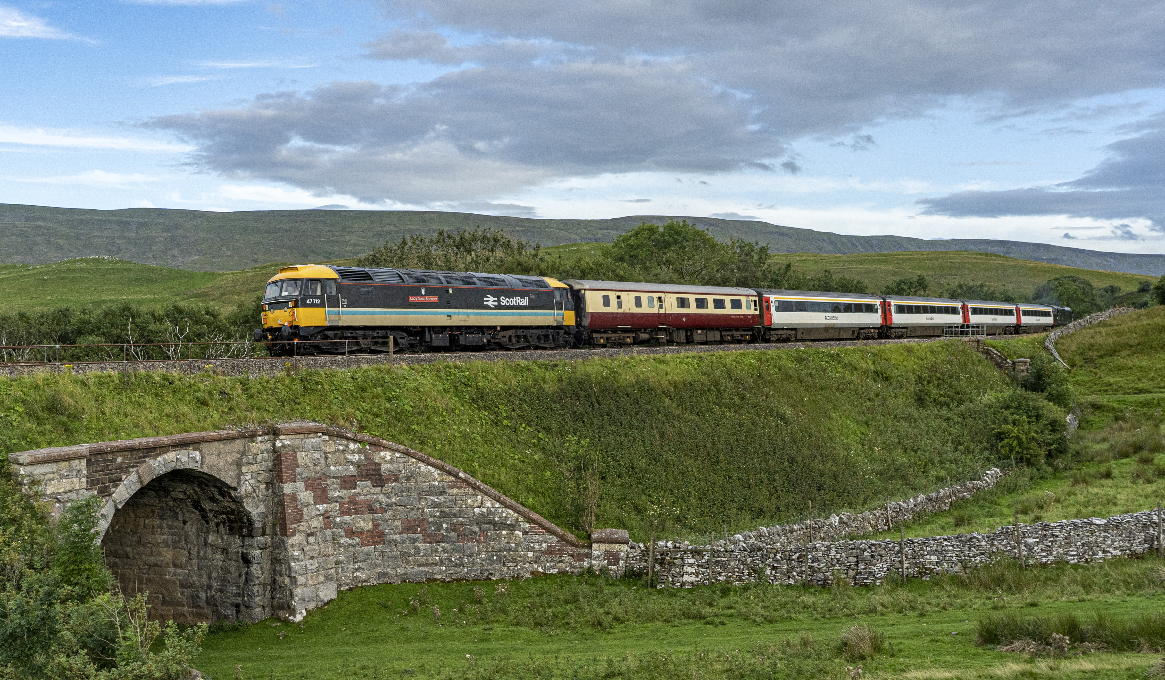
47712 Birkett Common

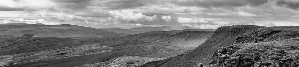
The Nab Panorama

Smardale Gill national nature reserve.
S&C in August

View of a Hotel. 16

View from a Hotel Window. 16

View from just outside a Hotel door 2.16

Borrowdale, Lake District National Park near Tebay, Cumbria, UK

Rutter-Falls-

Looking south (SSE) from Calders, Brant Fell, Howgill Fells near Sedbergh, Yorkshire Dales National Park, Cumbria, UK

Lake District
Good morning Sedbergh
The old wier

Brough Castle

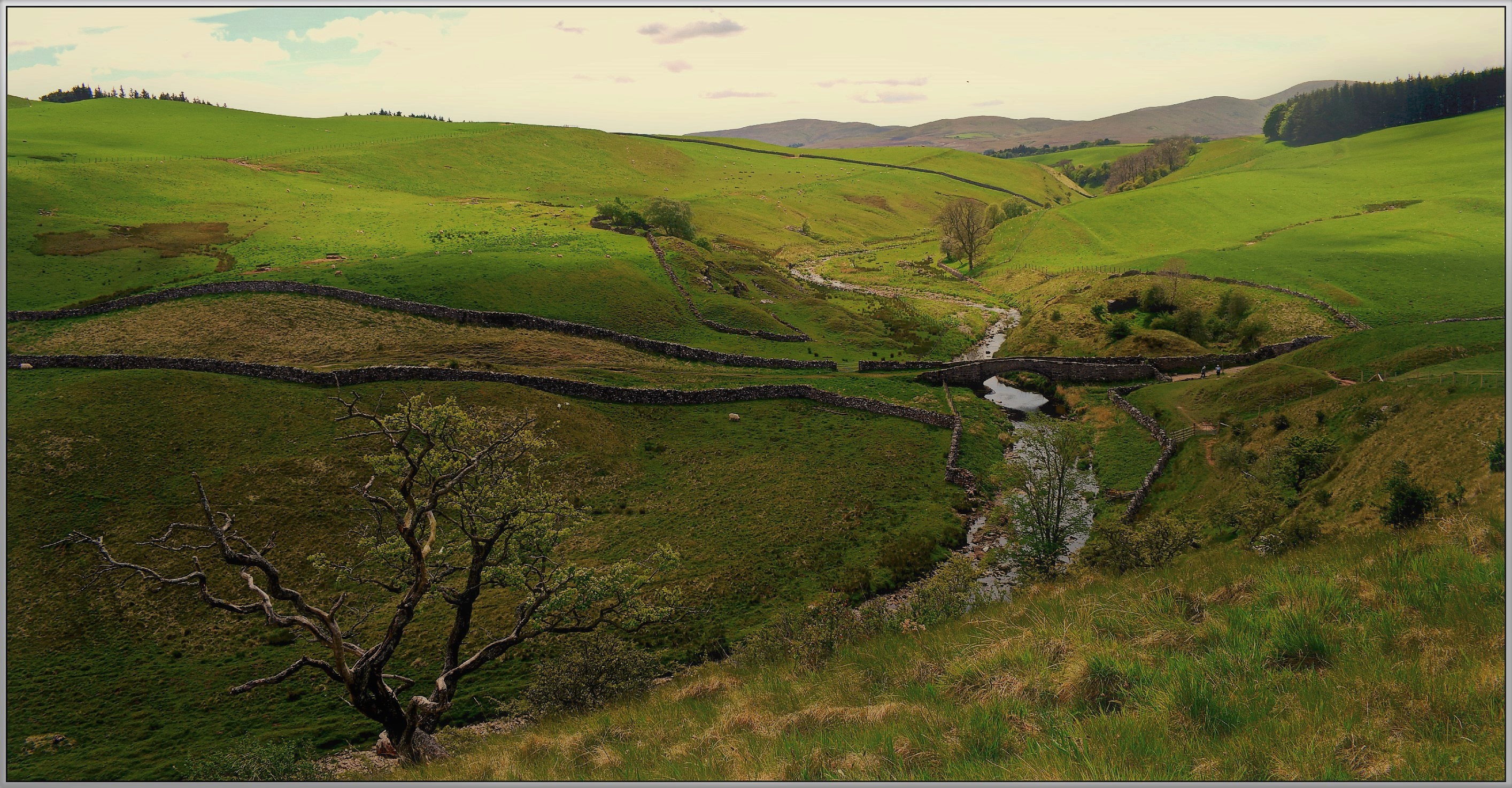
Rutter Falls Great Asby Appleby Cumbria

Carlisle/Settle Line. 16

Maulds Meaburn Village Cumbria
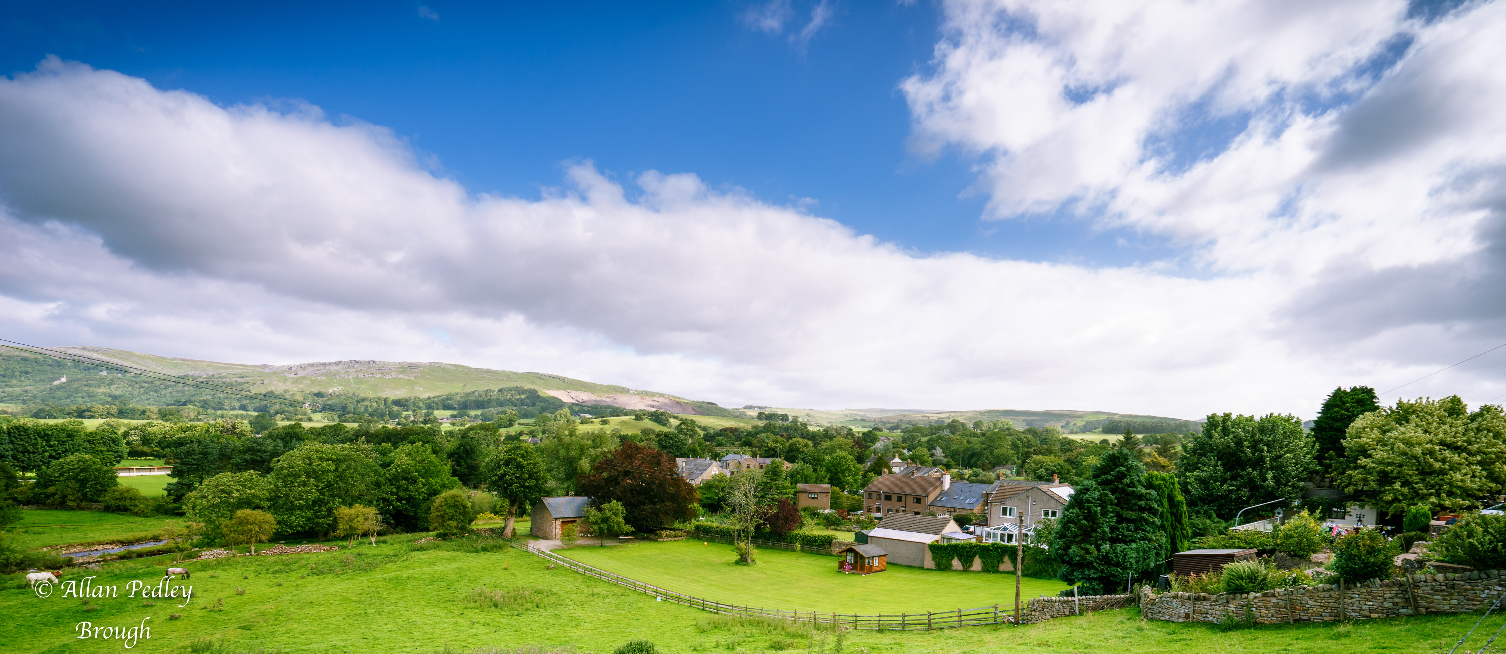
Brough Cumbria
Why i walk.

Maulds Meaburn Cumbria

The path to Cautley spout.

Wye garth.

Great Dummacks and the River Rawthey.
Sheep Fold - Birkdale - Yorkshire Dales
Smardale bridge over Scandale beck.

45699 At Smardale Curve. 24/02/2018

Hellgill Force

They're off!

The Road to Sleddale, Cumbria
Topographic Map of Newbiggin-on-Lune, Kirkby Stephen CA17 4NT, UK
Find elevation by address:

Places near Newbiggin-on-Lune, Kirkby Stephen CA17 4NT, UK:
Ravenstonedale
Ravenstonedale
The Tool House
Cautley Spout
La10 5ly
Cautley
Ca17 4sn
Kirkby Stephen
Warcop
Aisgill
Orton
Sedbergh
Lowgill
Roundthwaite
1 Lily Garth Cottages, Roundthwaite, Penrith CA10 3XU, UK
Garsdale
Crosby Ravensworth
Gawthrop
La10 5qh
Dent
Recent Searches:
- Elevation of Jiezi, Chongzhou City, Sichuan, China
- Elevation of Chongzhou City, Sichuan, China
- Elevation of Huaiyuan, Chongzhou City, Sichuan, China
- Elevation of Qingxia, Chengdu, Sichuan, China
- Elevation of Corso Fratelli Cairoli, 35, Macerata MC, Italy
- Elevation of Tallevast Rd, Sarasota, FL, USA
- Elevation of 4th St E, Sonoma, CA, USA
- Elevation of Black Hollow Rd, Pennsdale, PA, USA
- Elevation of Oakland Ave, Williamsport, PA, USA
- Elevation of Pedrógão Grande, Portugal
- Elevation of Klee Dr, Martinsburg, WV, USA
- Elevation of Via Roma, Pieranica CR, Italy
- Elevation of Tavkvetili Mountain, Georgia
- Elevation of Hartfords Bluff Cir, Mt Pleasant, SC, USA
- Elevation of SW Barberry Dr, Beaverton, OR, USA
- Elevation of Old Ahsahka Grade, Ahsahka, ID, USA
- Elevation of State Hwy F, Pacific, MO, USA
- Elevation of Chemin de Bel air, Chem. de Bel air, Mougins, France
- Elevation of Cloverdale Dr, Bloomingdale, GA, USA
- Elevation of 3FPP+WP4, Alajuela Province, San Ramon, Costa Rica