Elevation of Gawthrop, Sedbergh LA10, UK
Location: United Kingdom > Cumbria >
Longitude: -2.471445
Latitude: 54.281539
Elevation: 154m / 505feet
Barometric Pressure: 0KPa
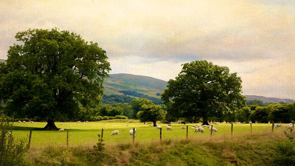
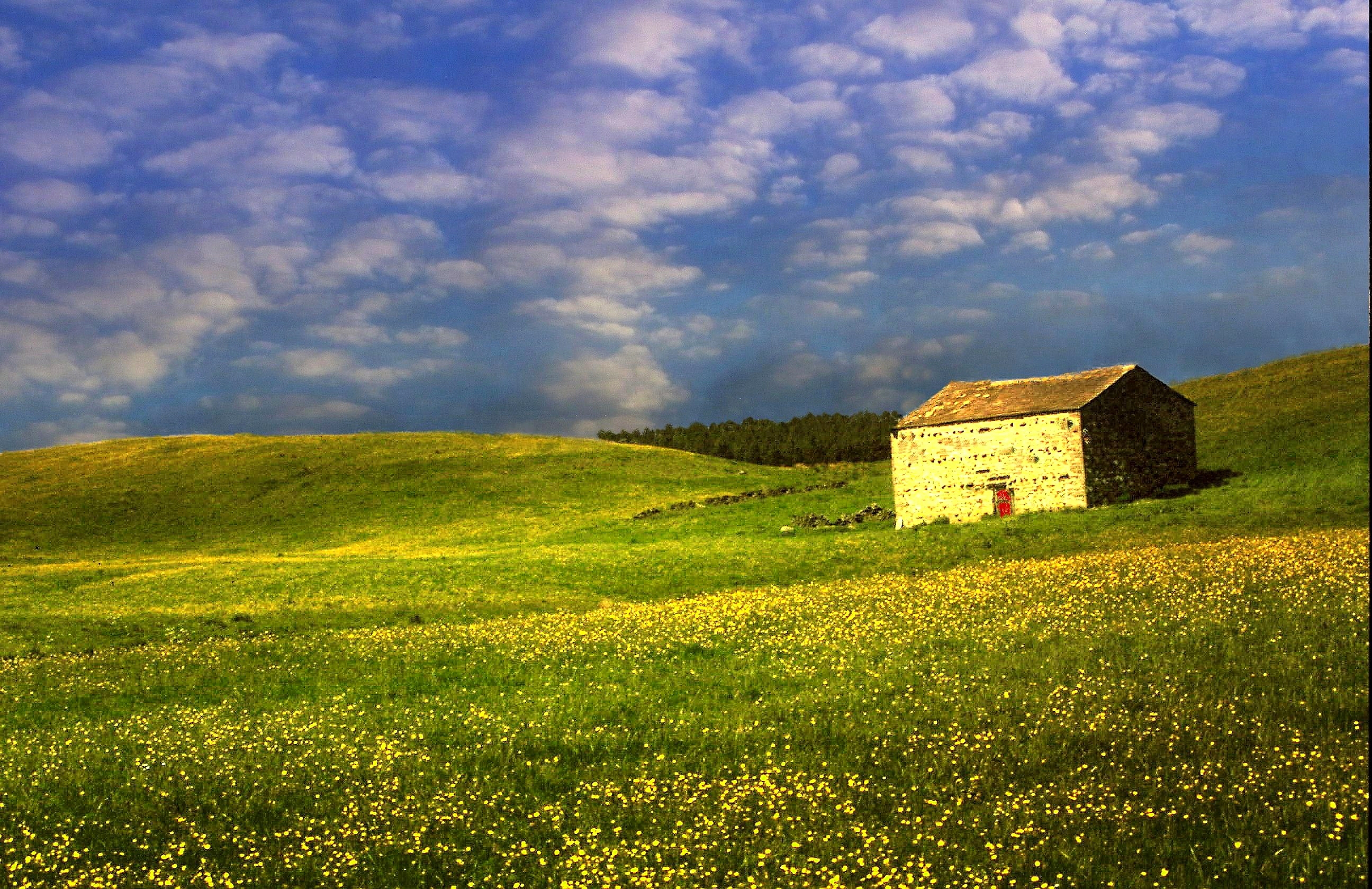
Related Photos:

Wild Boar fell, Cumbria, England.
A Ghostly St Mary's Church, Kirkby Lonsdale
The River Lune from the Churchyard (Ruskins' View), Kirkby Lonsdale, Cumbria
Twistleton Tree

It's just water under the bridge. HDR
Mount Zion Chapel, Dandry Mire
Ruskins view
Looking north-east from Great Dummacks, Howgill Fells near Sedbergh, Yorkshire Dales National Park, Cumbria, UK
Ribblehead viaduct winter sunset
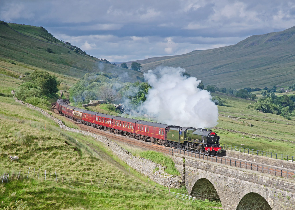
15 Guinea Fellsman at Ais Gill Viaduct
Near-sunset view from Calders, Brant Fell, Howgill Fells near Sedbergh, Yorkshire Dales National Park, Cumbria, UK

VIEWING PLATFORM, KILLINGTON LAKE.

A Wider View At Selside.

Over the summit, Ais Gill, Cumbria/Yorkshire border, England
Hidden valley
Little & Large ....

Ruskin's View
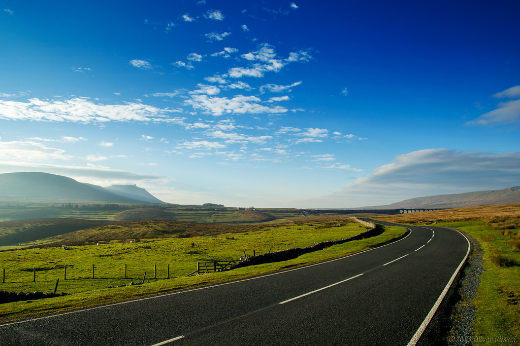
The Road to Ribblesdale

Ruskin's View
yorkshire dales
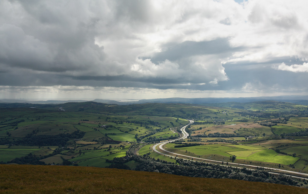
M6 motorway seen from the Howgill Fells near Sedbergh, Cumbria, UK
Buttercup meadow Horton in Ribblesdale

Rival Falls
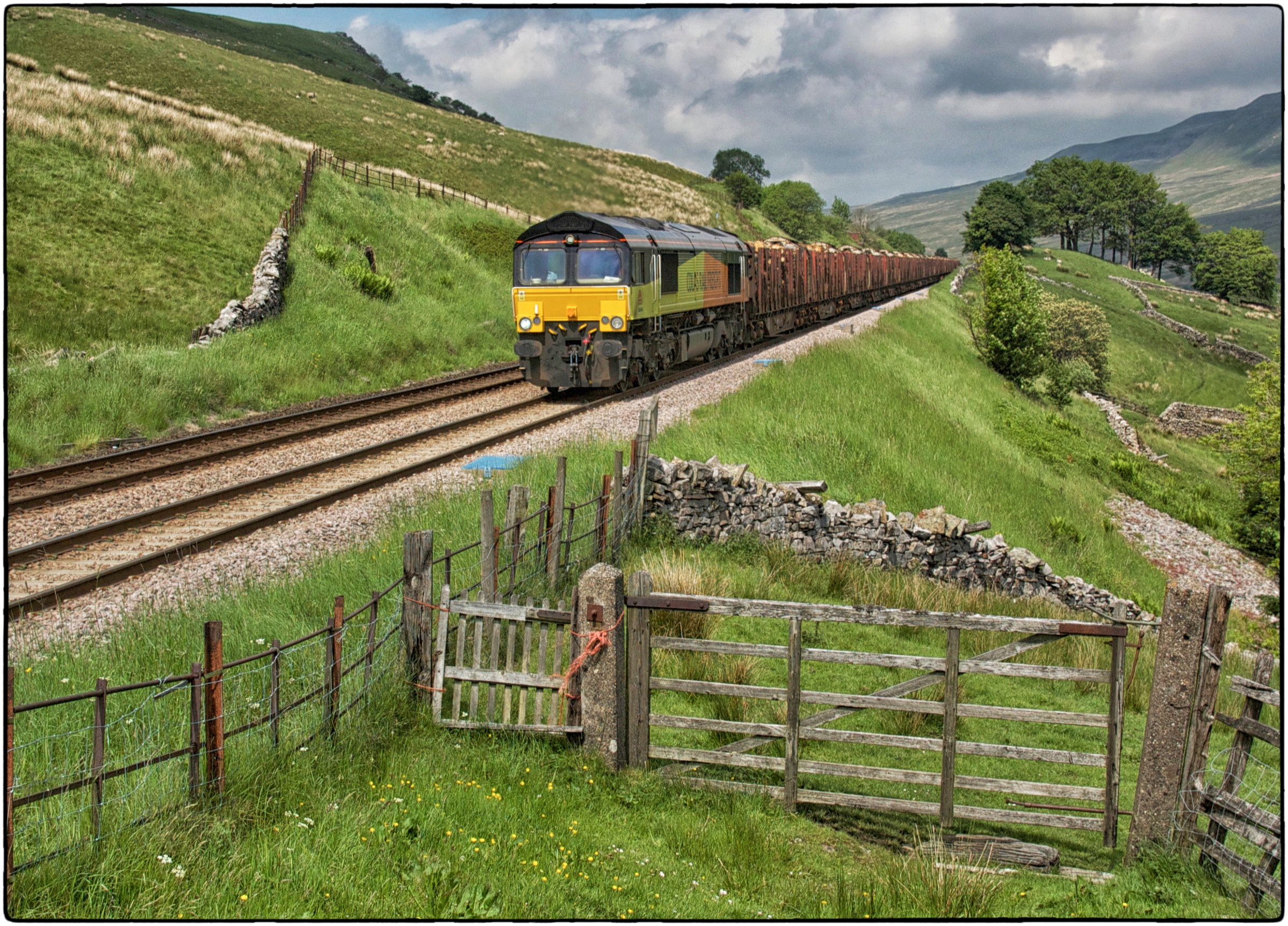
66848. Angerholme.
Dent Viaduct
killington lake
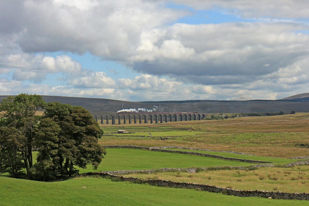
Ribblehead Viaduct, Yorkshire, England
5043. A Southerner up north! ……..
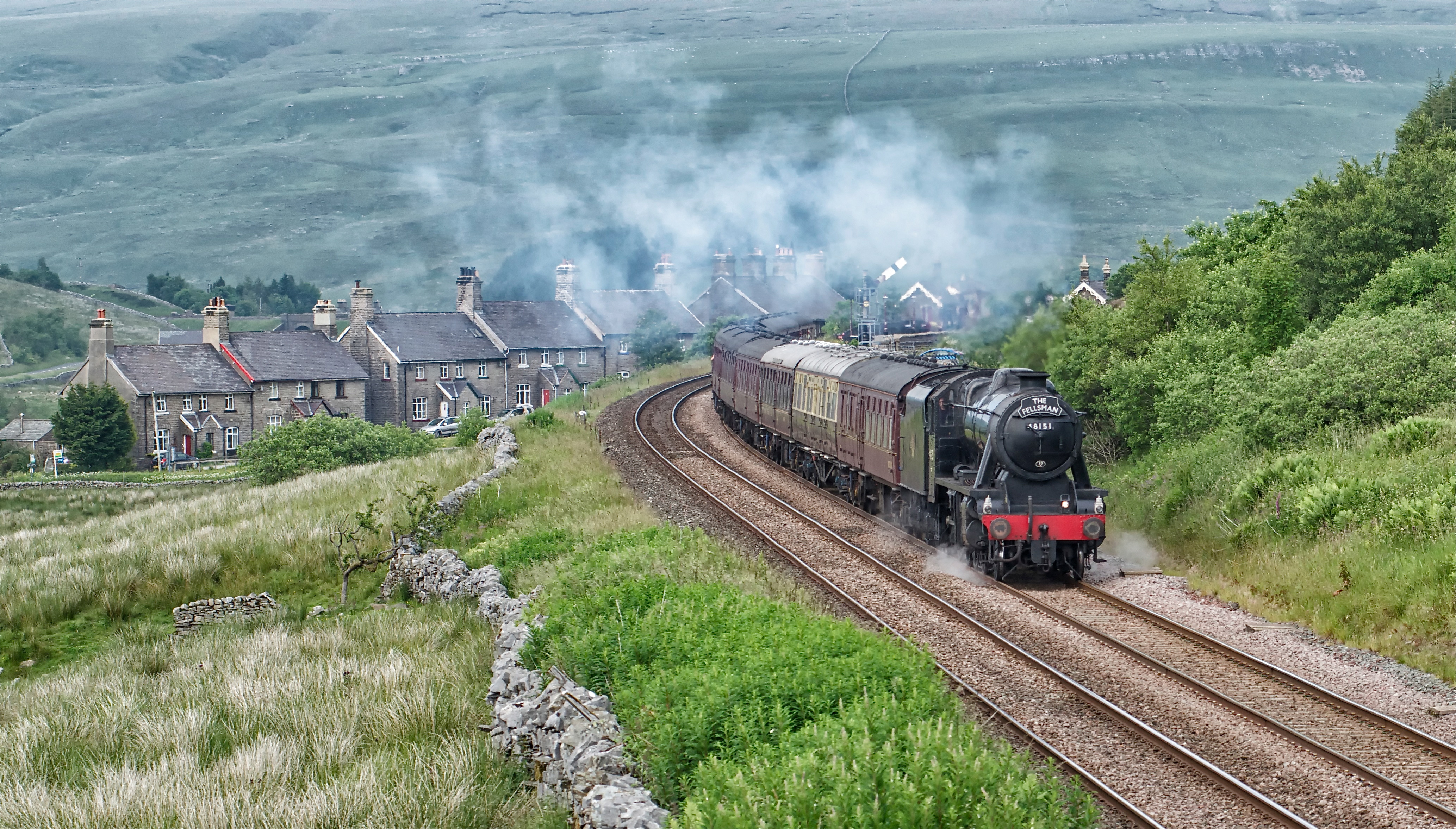
48151. Garsdale.
The Waverley at Aisgill
Yorkshire Twilight
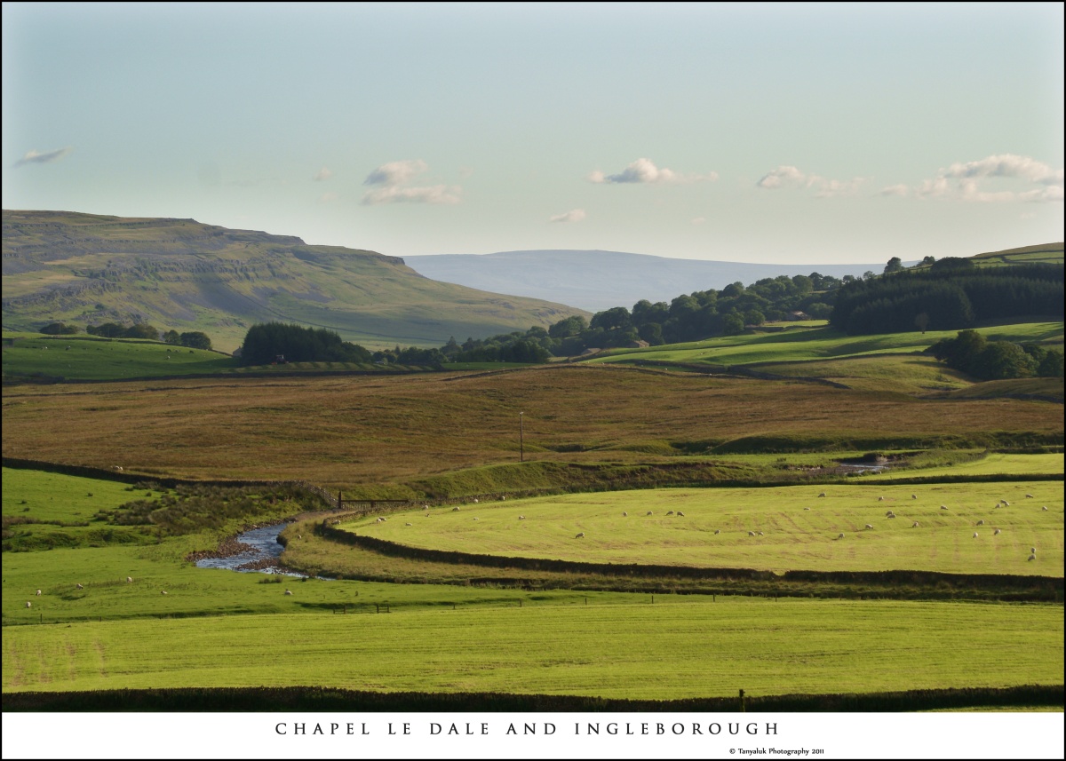
Chapel Le Dale
Ribblehead Steam Special
Yorkshire Dales

light and shade

Garsdale Waterfall...IMG_0220.jpg

Arten Gill Viaduct, Yorkshire Dales.UK.
Dentdale: darkening skies
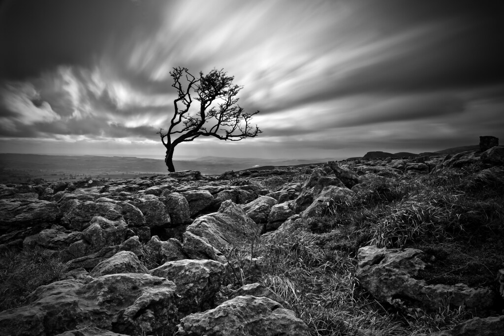
Twistleton Tree
cry me a river
Topographic Map of Gawthrop, Sedbergh LA10, UK
Find elevation by address:

Places in Gawthrop, Sedbergh LA10, UK:
Places near Gawthrop, Sedbergh LA10, UK:
La10 5qh
Dent
Dent
Deepdale
Cautley
La10 5ly
Sedbergh
Garsdale
Whernside
Cautley Spout
La10 5rj
Cowgill
Middleton Hall
Middleton
Chapel-le-dale
Masongill
Ribblehead Viaduct
Pauls Fold
21a
Crina Bottom
Recent Searches:
- Elevation of Sullivan Hill, New York, New York, 10002, USA
- Elevation of Morehead Road, Withrow Downs, Charlotte, Mecklenburg County, North Carolina, 28262, USA
- Elevation of 2800, Morehead Road, Withrow Downs, Charlotte, Mecklenburg County, North Carolina, 28262, USA
- Elevation of Yangbi Yi Autonomous County, Yunnan, China
- Elevation of Pingpo, Yangbi Yi Autonomous County, Yunnan, China
- Elevation of Mount Malong, Pingpo, Yangbi Yi Autonomous County, Yunnan, China
- Elevation map of Yongping County, Yunnan, China
- Elevation of North 8th Street, Palatka, Putnam County, Florida, 32177, USA
- Elevation of 107, Big Apple Road, East Palatka, Putnam County, Florida, 32131, USA
- Elevation of Jiezi, Chongzhou City, Sichuan, China
- Elevation of Chongzhou City, Sichuan, China
- Elevation of Huaiyuan, Chongzhou City, Sichuan, China
- Elevation of Qingxia, Chengdu, Sichuan, China
- Elevation of Corso Fratelli Cairoli, 35, Macerata MC, Italy
- Elevation of Tallevast Rd, Sarasota, FL, USA
- Elevation of 4th St E, Sonoma, CA, USA
- Elevation of Black Hollow Rd, Pennsdale, PA, USA
- Elevation of Oakland Ave, Williamsport, PA, USA
- Elevation of Pedrógão Grande, Portugal
- Elevation of Klee Dr, Martinsburg, WV, USA