Elevation of Dent LA10, UK
Location: United Kingdom > Cumbria > South Lakeland District >
Longitude: -2.4258292
Latitude: 54.2677284
Elevation: 178m / 584feet
Barometric Pressure: 99KPa
Elevation Map:
Satellite Map:
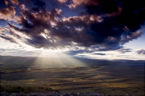
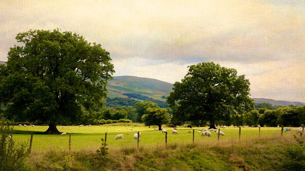
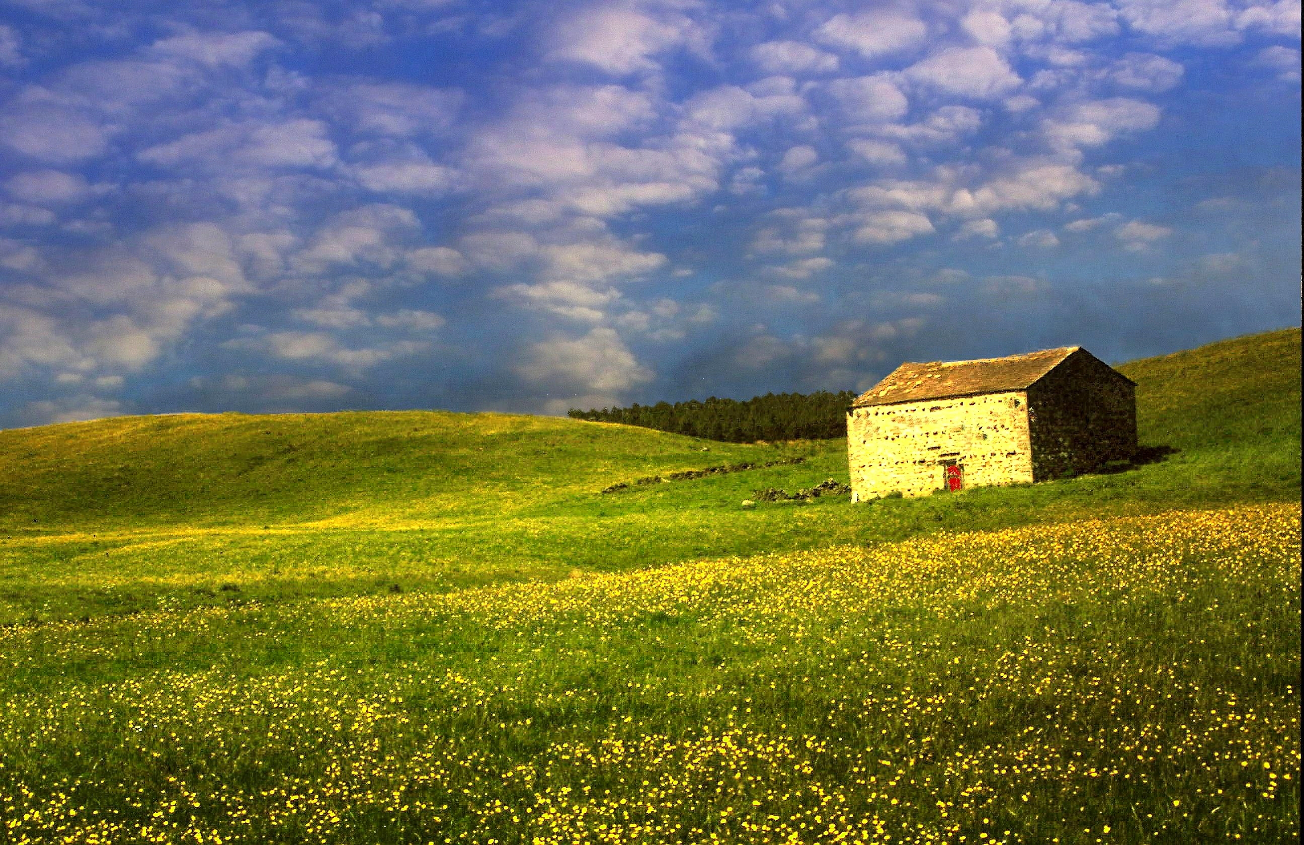
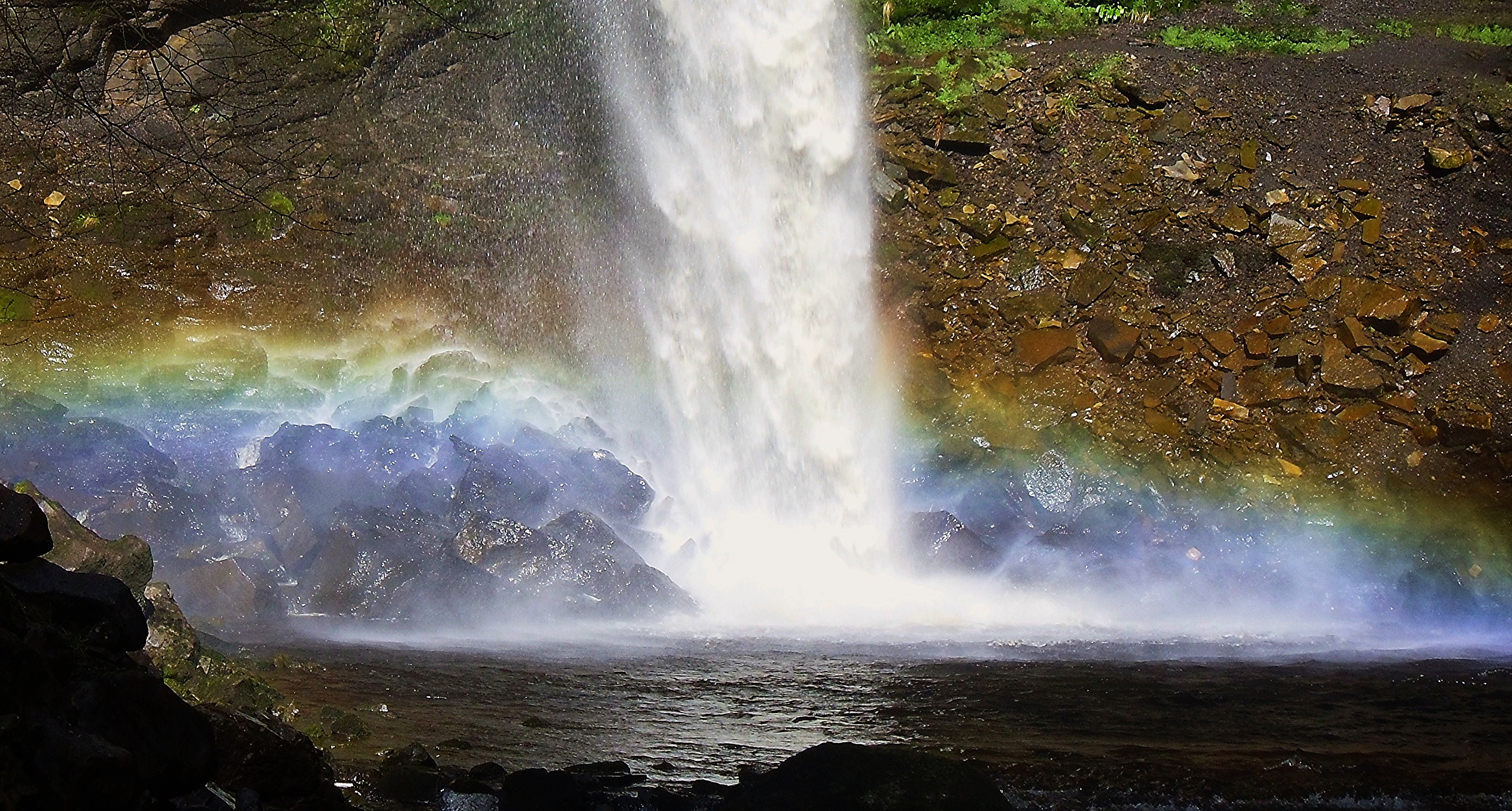
Related Photos:

Wild Boar fell, Cumbria, England.
A Ghostly St Mary's Church, Kirkby Lonsdale
The River Lune from the Churchyard (Ruskins' View), Kirkby Lonsdale, Cumbria
Twistleton Tree

It's just water under the bridge. HDR
Mount Zion Chapel, Dandry Mire
Ruskins view
Vanishing Point (Explored 15th May 2013)
Looking north-east from Great Dummacks, Howgill Fells near Sedbergh, Yorkshire Dales National Park, Cumbria, UK
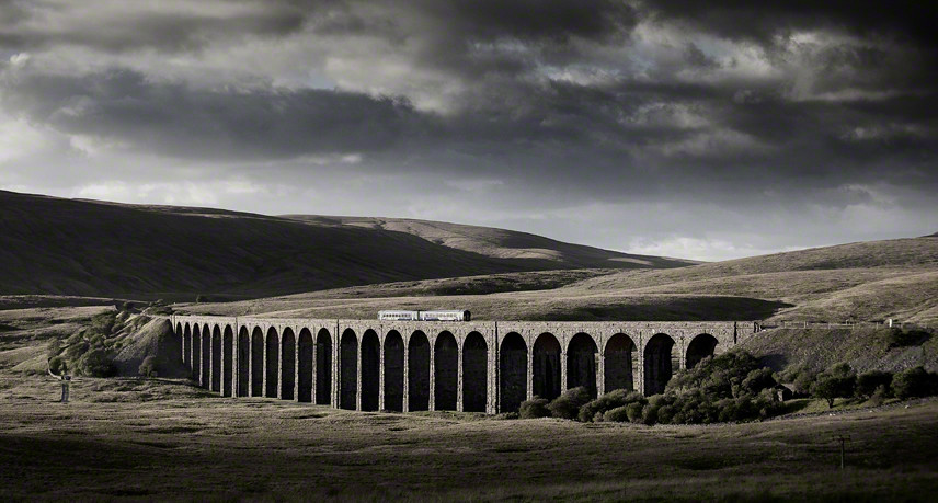
Ribblehead viaduct winter sunset
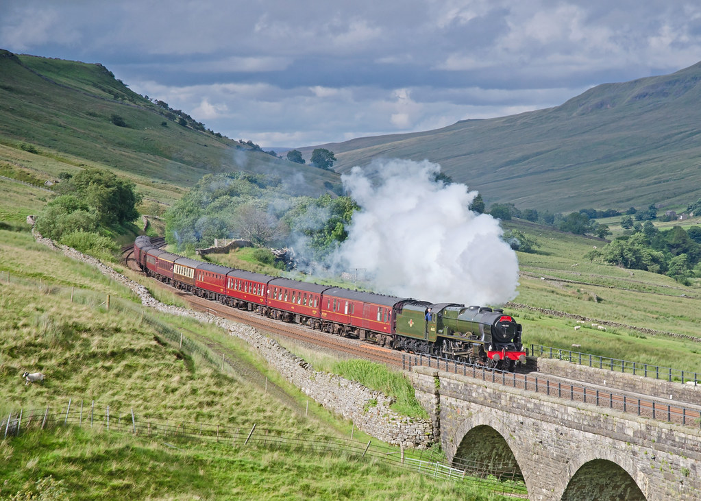
15 Guinea Fellsman at Ais Gill Viaduct
Near-sunset view from Calders, Brant Fell, Howgill Fells near Sedbergh, Yorkshire Dales National Park, Cumbria, UK

VIEWING PLATFORM, KILLINGTON LAKE.

A Wider View At Selside.

Over the summit, Ais Gill, Cumbria/Yorkshire border, England
Little & Large ....

Ruskin's View
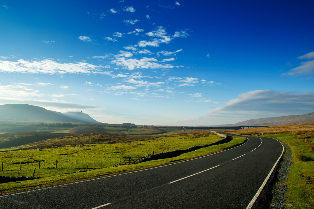
The Road to Ribblesdale
Pen Y Gent Side.

Ruskin's View
yorkshire dales
Buttercup meadow Horton in Ribblesdale

In The Summertime
The Waterfall explodes on the rocks below....

Rival Falls

Sleddale, Nr. Gayle, Yorkshire
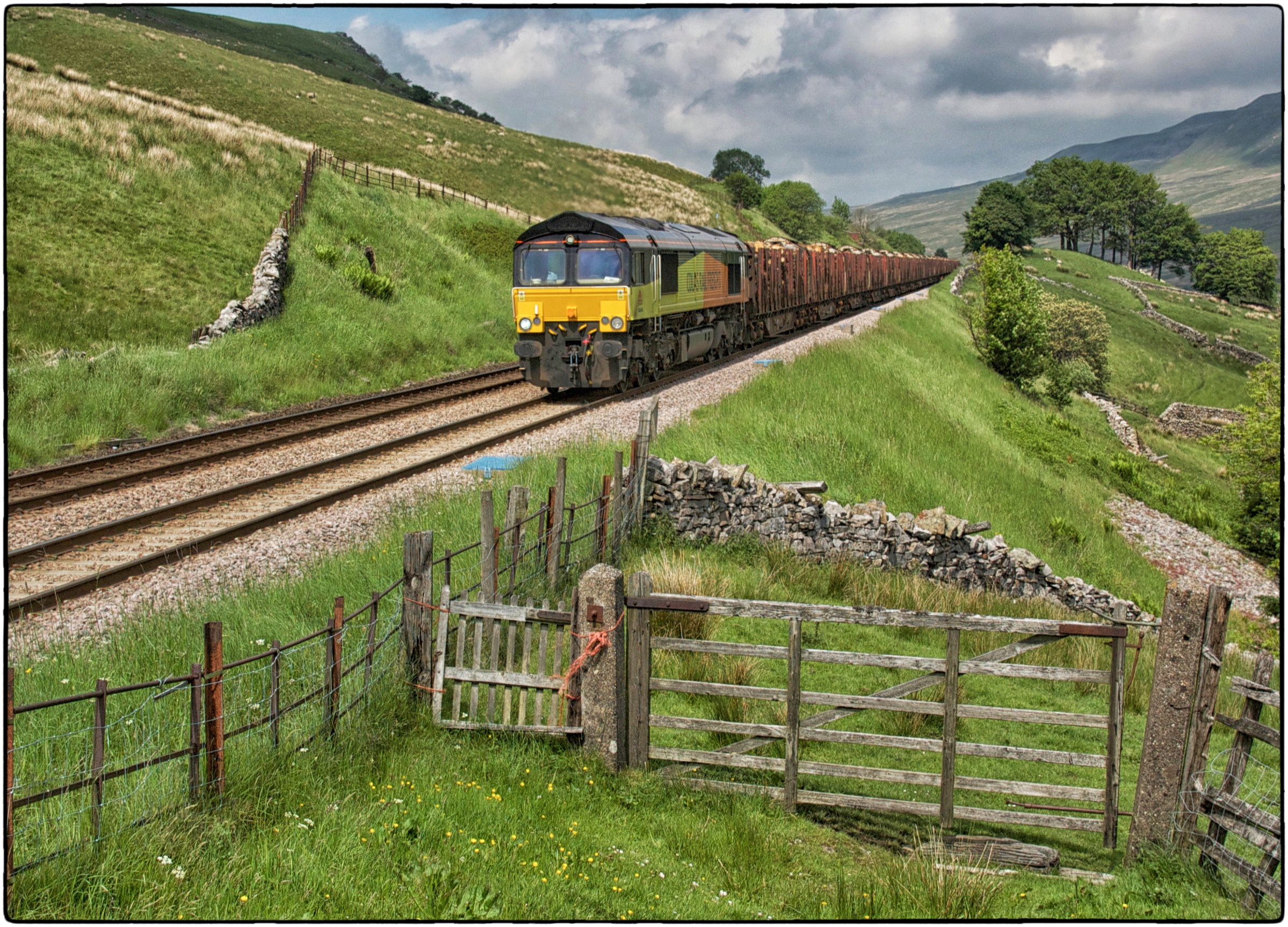
66848. Angerholme.
Dent Viaduct
killington lake
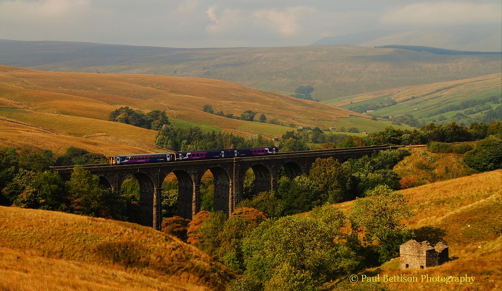
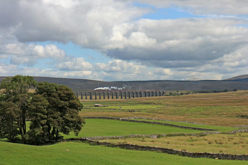
Ribblehead Viaduct, Yorkshire, England
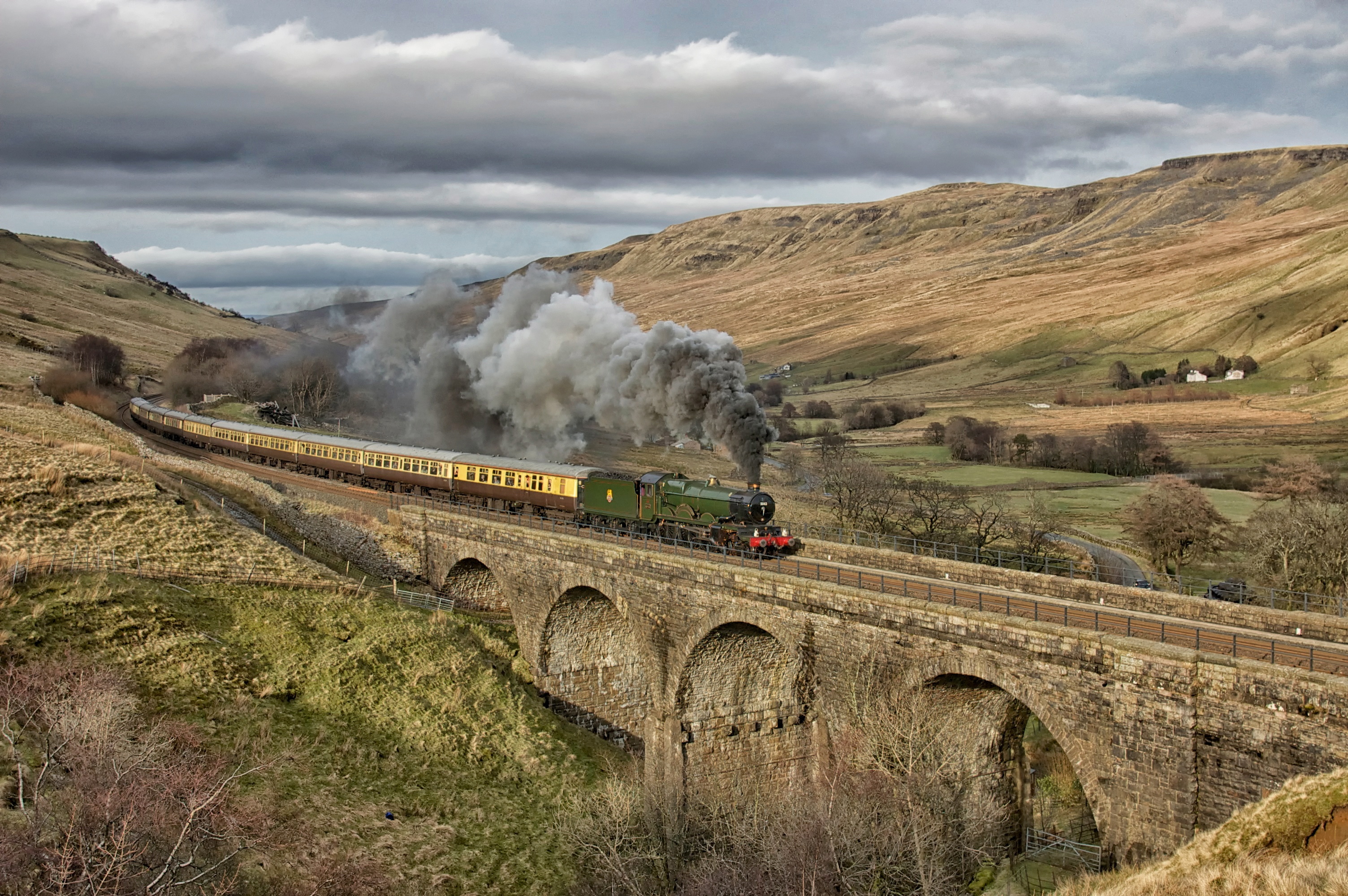
5043. A Southerner up north! ……..
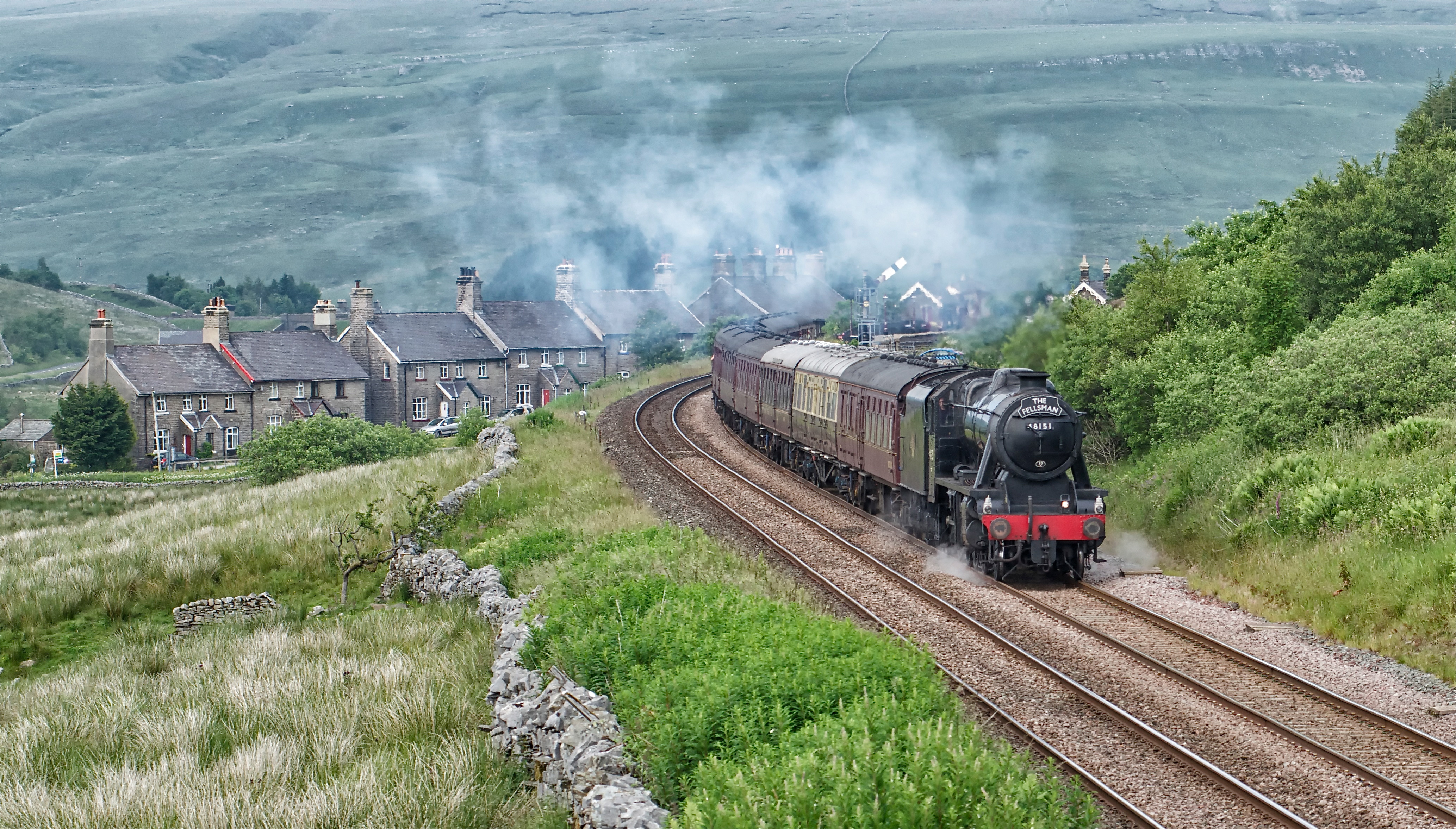
48151. Garsdale.
Cutter Force LR #1
The Waverley at Aisgill
Yorkshire Twilight
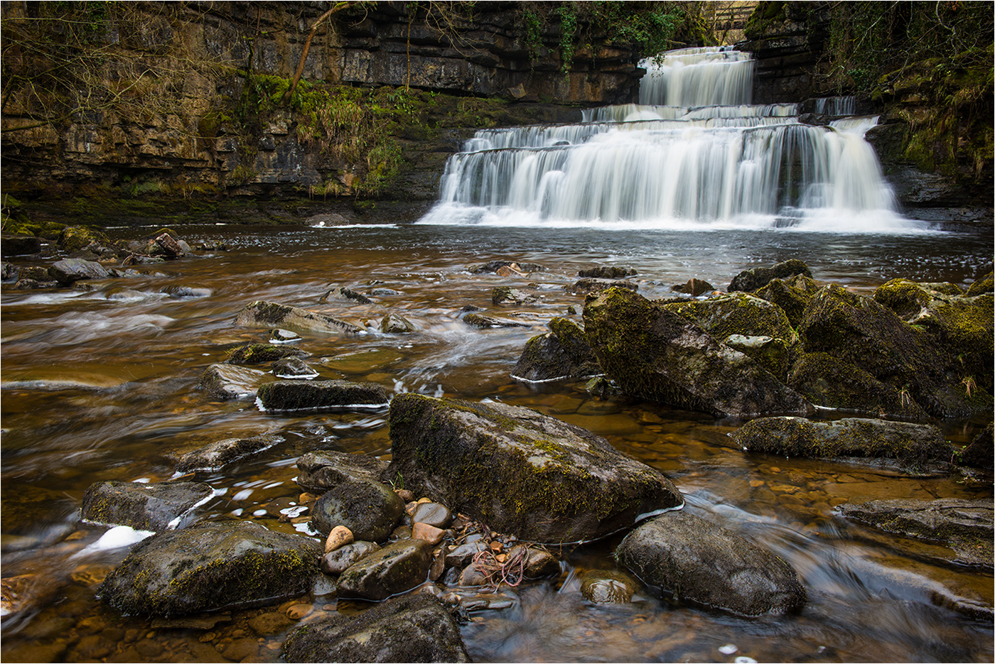
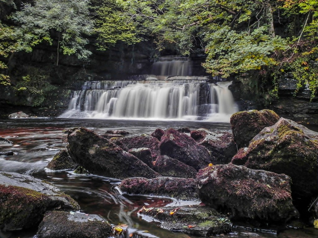
Cotter force
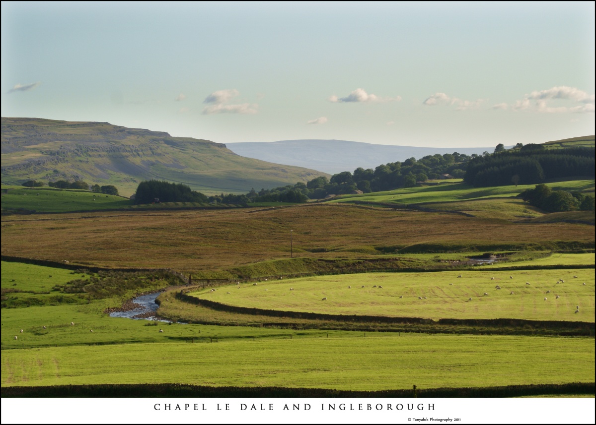
Chapel Le Dale
Ribblehead Steam Special
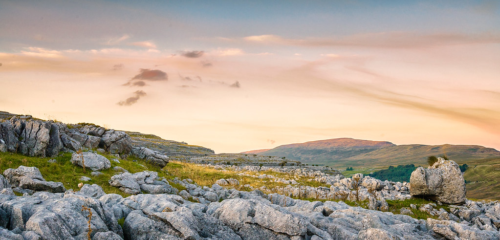
Yorkshire Dales

light and shade
Topographic Map of Dent LA10, UK
Find elevation by address:

Places in Dent LA10, UK:
Places near Dent LA10, UK:
Deepdale
Dent
Whernside
Gawthrop
Garsdale
La10 5qh
Cowgill
La10 5rj
Ribblehead Viaduct
Chapel-le-dale
La10 5ly
Cautley
Ingleborough
Garsdale (gsd)
Sedbergh
Crina Bottom
Lunds
21a
Pauls Fold
La6 3ez
Recent Searches:
- Elevation of Corso Fratelli Cairoli, 35, Macerata MC, Italy
- Elevation of Tallevast Rd, Sarasota, FL, USA
- Elevation of 4th St E, Sonoma, CA, USA
- Elevation of Black Hollow Rd, Pennsdale, PA, USA
- Elevation of Oakland Ave, Williamsport, PA, USA
- Elevation of Pedrógão Grande, Portugal
- Elevation of Klee Dr, Martinsburg, WV, USA
- Elevation of Via Roma, Pieranica CR, Italy
- Elevation of Tavkvetili Mountain, Georgia
- Elevation of Hartfords Bluff Cir, Mt Pleasant, SC, USA