Elevation of Middleton Hall, Middleton, Carnforth LA6 2ND, UK
Location: United Kingdom > Cumbria > Middleton >
Longitude: -2.5772188
Latitude: 54.2802433
Elevation: 82m / 269feet
Barometric Pressure: 100KPa
Elevation Map:
Satellite Map:
Related Photos:

With my little eye - thank you for 680K+ views
A Ghostly St Mary's Church, Kirkby Lonsdale
The River Lune from the Churchyard (Ruskins' View), Kirkby Lonsdale, Cumbria

Him, me and the sunset
Ruskins view
Looking north-east from Great Dummacks, Howgill Fells near Sedbergh, Yorkshire Dales National Park, Cumbria, UK
Ribblehead viaduct winter sunset
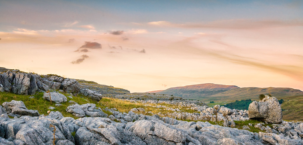
hutton roof crags
Near-sunset view from Calders, Brant Fell, Howgill Fells near Sedbergh, Yorkshire Dales National Park, Cumbria, UK
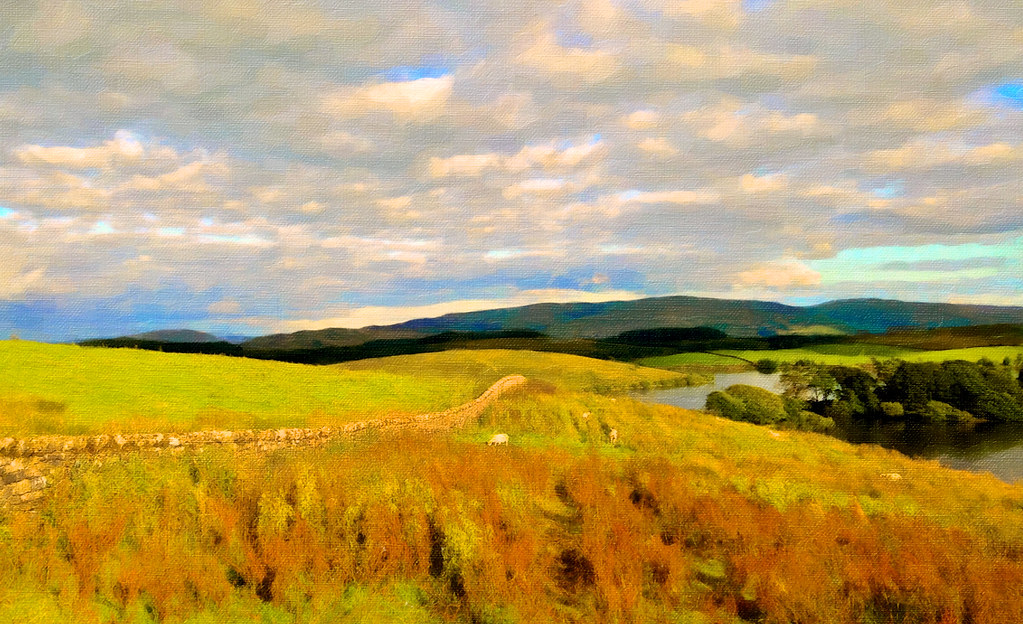
Hidden valley

Ruskin's View

Dallam Tower Hall and Park
M6 motorway seen from the Howgill Fells near Sedbergh, Cumbria, UK
Twistleton Scar II

Twisleton panorama
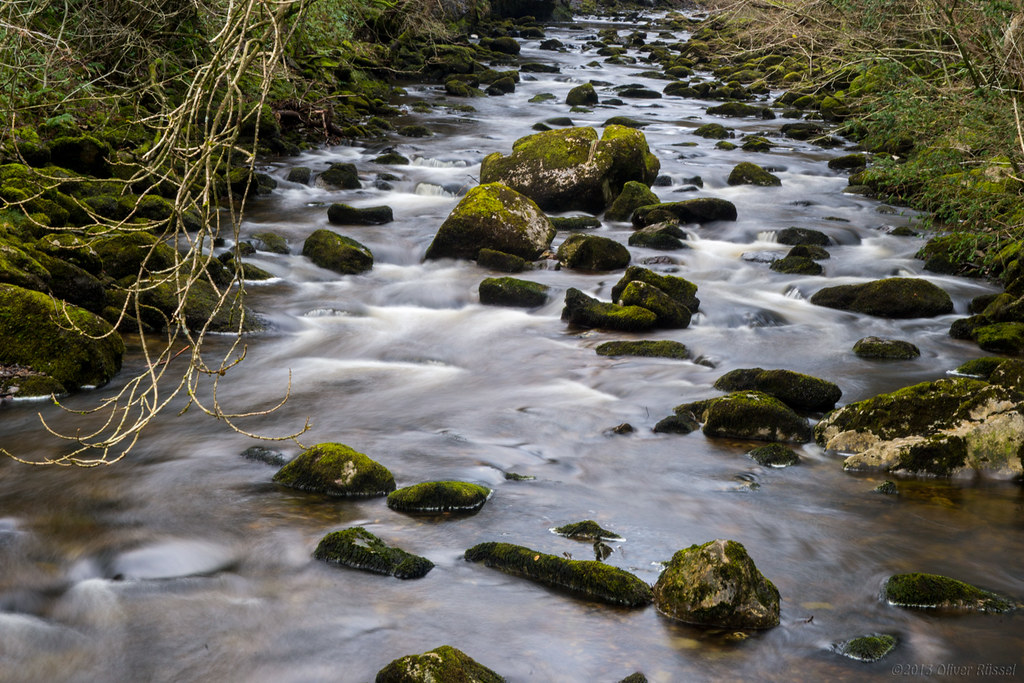
Uldale Force, River Rawthey, Yorkshire Dales National Park, Cumbria, UK
Sizergh Castle
Lone hawthorn on Twisleton Limestone.
Rawthey Valley from Great Dummacks, Howgill Fells near Sedbergh, Yorkshire Dales National Park, Cumbria, UK

PICT0019 View East from Brant Fell, Howgill Fells
Twistleton Tree

Rival Falls
Dent Viaduct
Ribblehead Viaduct, Yorkshire, England
Yorkshire Twilight
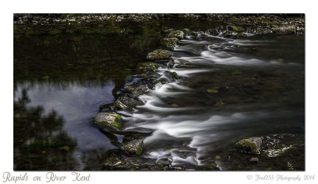
Rapids on River Kent
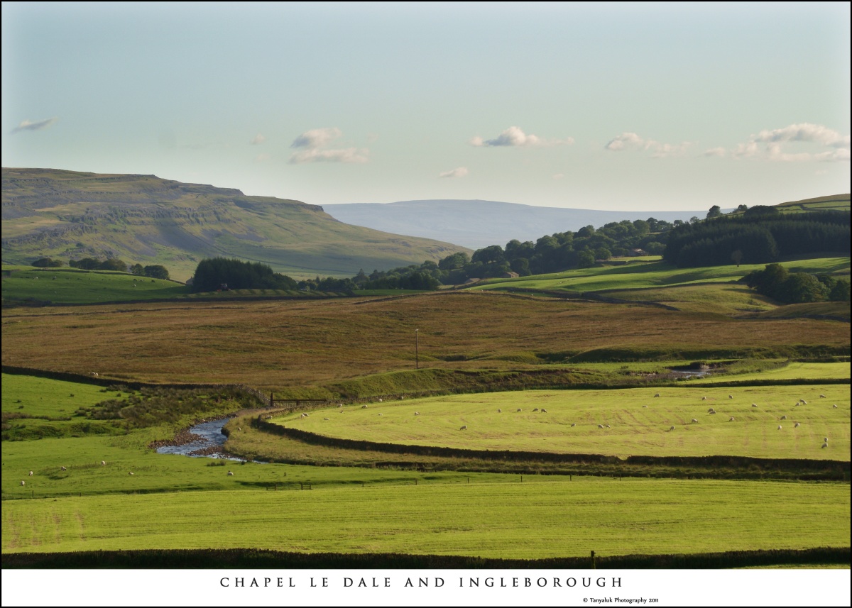
Chapel Le Dale
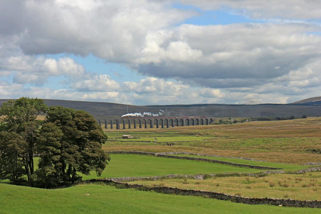
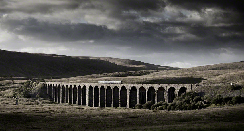
Ribblehead Steam Special

light and shade
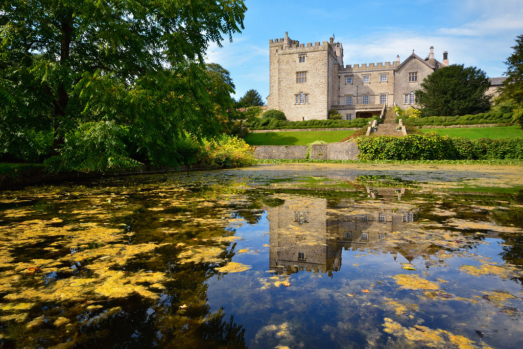
Sizergh Castle
cry me a river
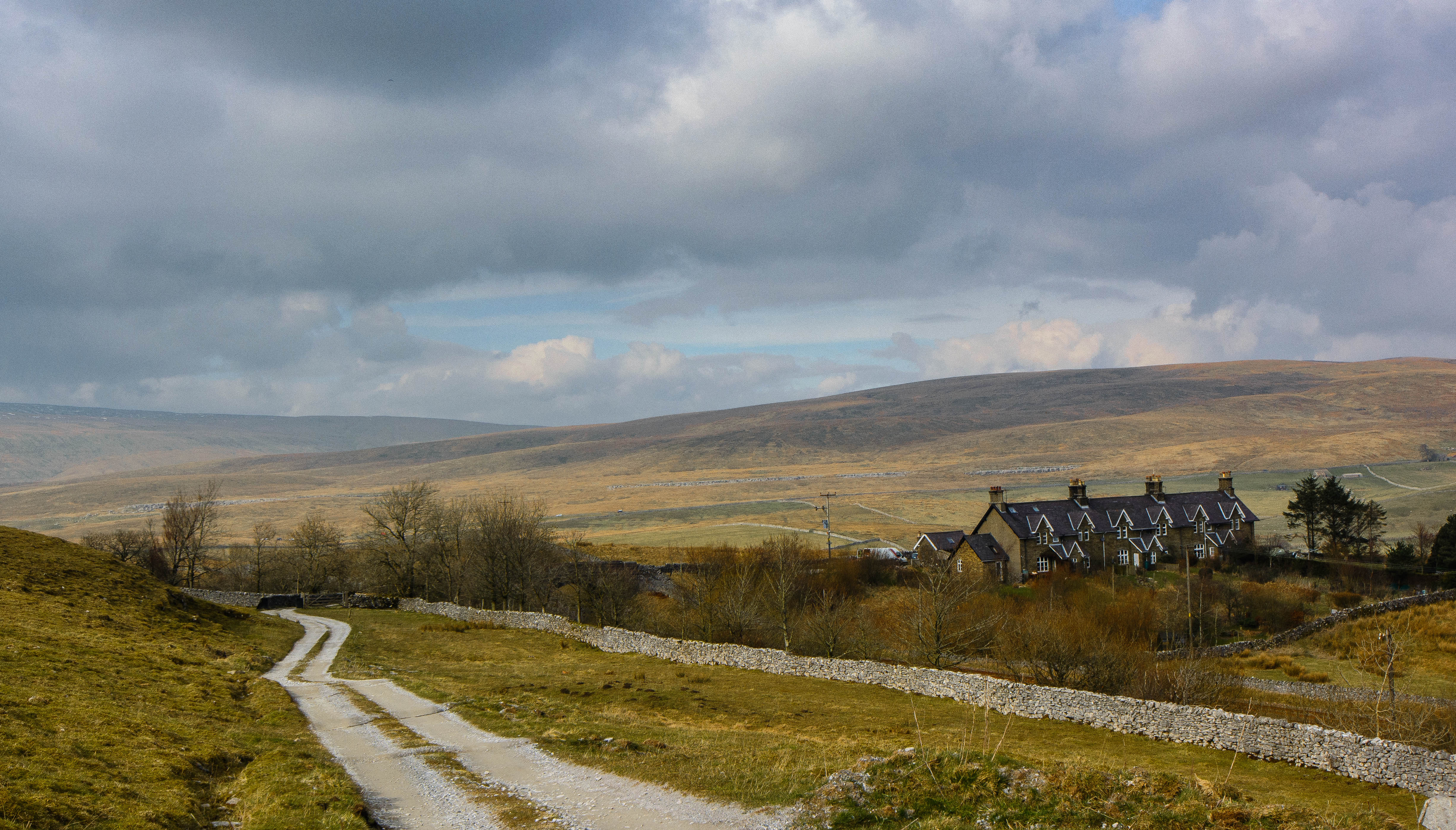
Railway Cottages
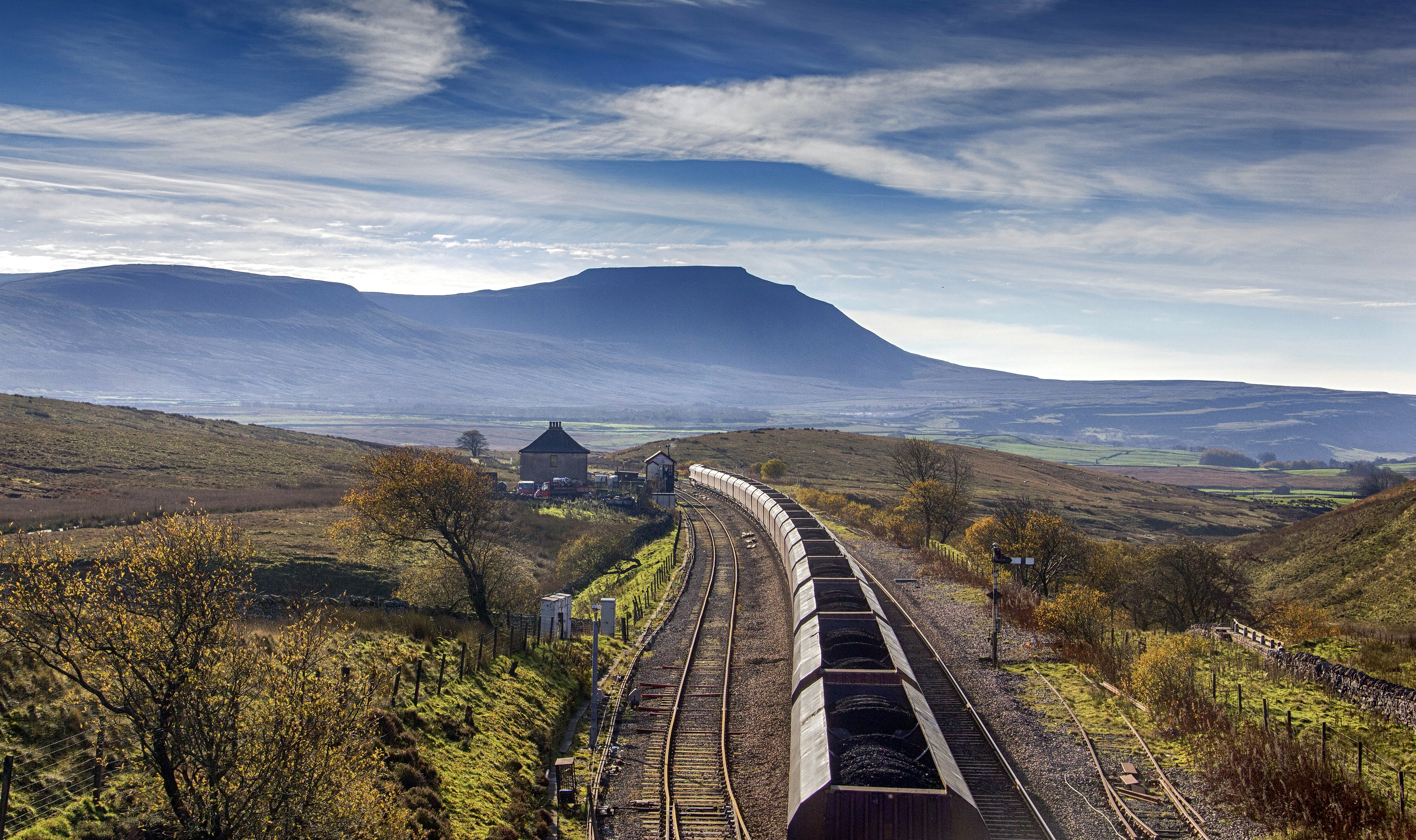
Blea Moor (early morning coal train).

Dull day in Kendal Lake District
killington lake

Arten Gill Viaduct, Yorkshire Dales.UK.
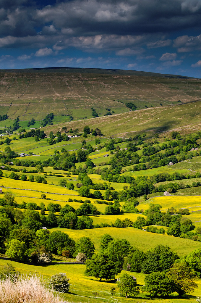
Dentdale: darkening skies
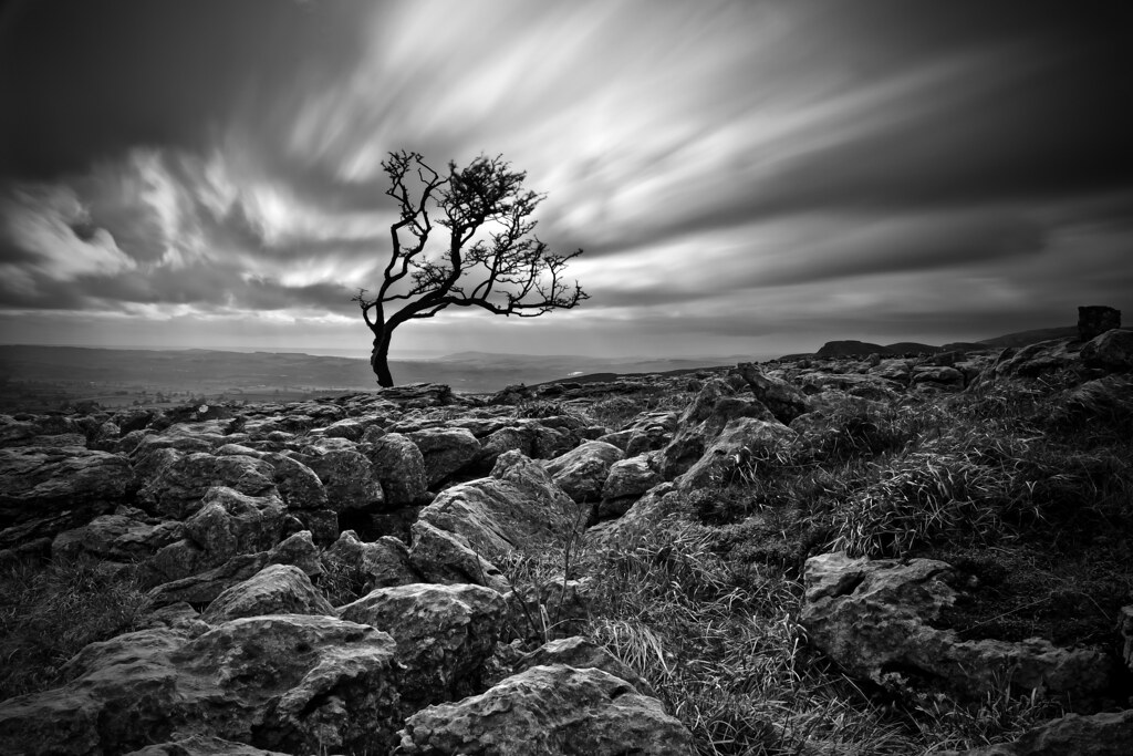
Twistleton Tree
Topographic Map of Middleton Hall, Middleton, Carnforth LA6 2ND, UK
Find elevation by address:

Places near Middleton Hall, Middleton, Carnforth LA6 2ND, UK:
Middleton
Sedbergh
Kirkby Lonsdale
25 Main St, Kirkby Lonsdale, Carnforth LA6 2AQ, UK
Lowgill
Biggins Lodge Cottage
La10 5qh
Gawthrop
Cautley
La10 5ly
Dent
Cautley Spout
Masongill
1 Lily Garth Cottages, Roundthwaite, Penrith CA10 3XU, UK
1 Helmside Gardens, Oxenholme, Kendal LA9 7HN, UK
Roundthwaite
Oxenholme
Montbegan Barn
Melling
Dent
Recent Searches:
- Elevation of Corso Fratelli Cairoli, 35, Macerata MC, Italy
- Elevation of Tallevast Rd, Sarasota, FL, USA
- Elevation of 4th St E, Sonoma, CA, USA
- Elevation of Black Hollow Rd, Pennsdale, PA, USA
- Elevation of Oakland Ave, Williamsport, PA, USA
- Elevation of Pedrógão Grande, Portugal
- Elevation of Klee Dr, Martinsburg, WV, USA
- Elevation of Via Roma, Pieranica CR, Italy
- Elevation of Tavkvetili Mountain, Georgia
- Elevation of Hartfords Bluff Cir, Mt Pleasant, SC, USA